


Col de Parquetout | 1382 METER | Corps Entraigues
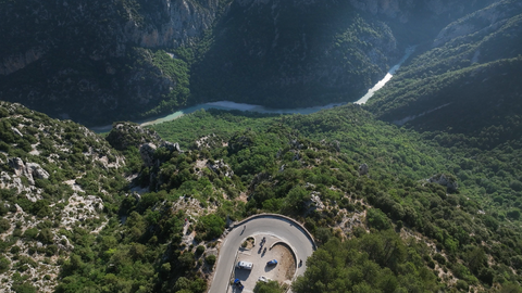
The Col de Parquetout Alpine pass is located in the southwestern Alps, in the department of Isère. There, it runs parallel to the N85, which connects Gap and Grenoble, up to an altitude of over 1,400 metres. The road is a relaxed alternative to the national highway. It is narrow, asphalted, but unpaved at the edges. Especially between Villelonge in the south and Les Angelas in the north, it is winding and steep in places, with gradients of up to 14 degrees. It offers beautiful views time and again – down to Lac de Sautet in the south.
Despite the road conditions and curves, this Alpine pass is easy to drive, as there is usually very little traffic here.
A special feature: the official pass sign is located at an altitude of 1382 metres, south of a higher point on the route, which is marked with a low stone, typical of the region, indicating an altitude of 1441 metres.
Continuing north, you reach the Col d'Ornon and on to the classic Alpine passes around the Maurienne Valley, such as the Alpe d'Huez, the Pas de la Confession, Col de Sarenne, or the nearby Alpine passes Col du Glandon and Col de la Croix de Fer.
Planning a motorbike tour with a roadmap and GPS data? Click here for the interactive Alpine Pass Atlas.
| Country | Frankreich |
| Region | Isère |
| Coordinates | 44.87635280, 5.92318333 |
| Elevation | 1382 m |
| Max. slope | 14 % |
| Toll road | no |
| Road surface | Asphalt |
| Cul-de-sac | no |
| Length | 25 Km |
| Travel time | Normal to slow |
| Route | Corps Entraigues |
 clear sky, 16.9°C