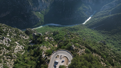


Col de Sarenne | 1999 METER | Mizoën Alpe d'Huez
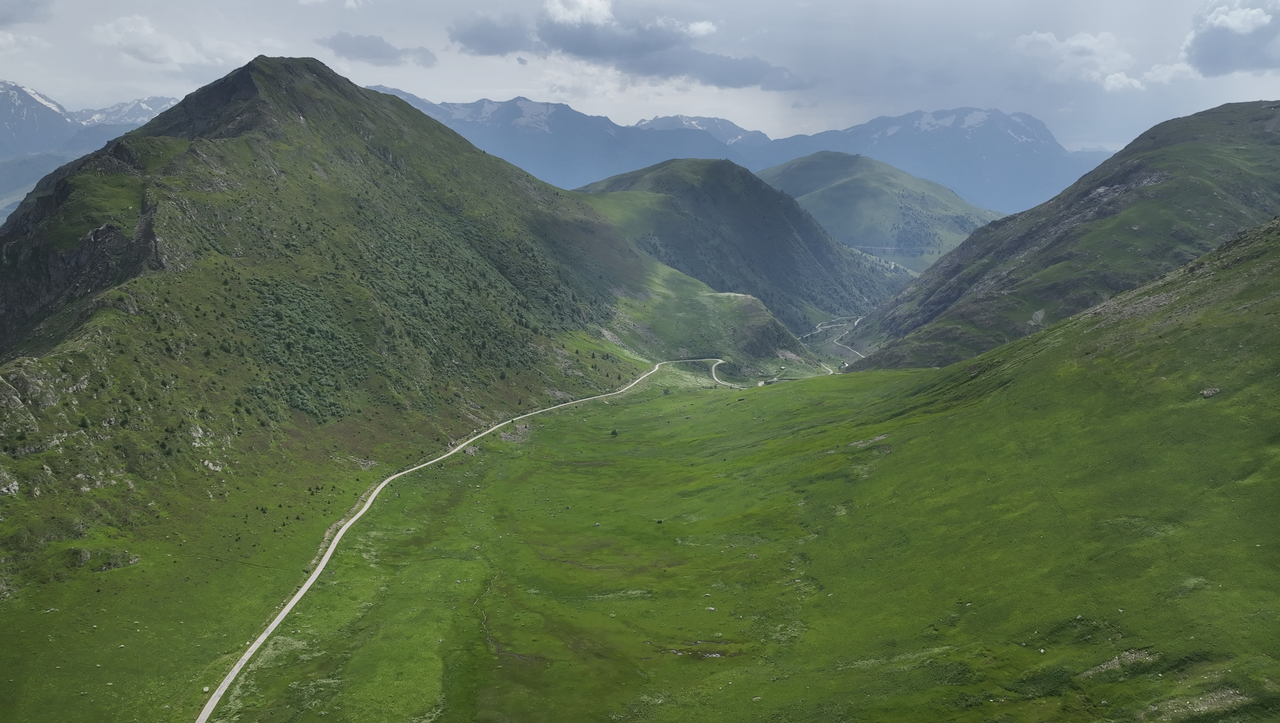
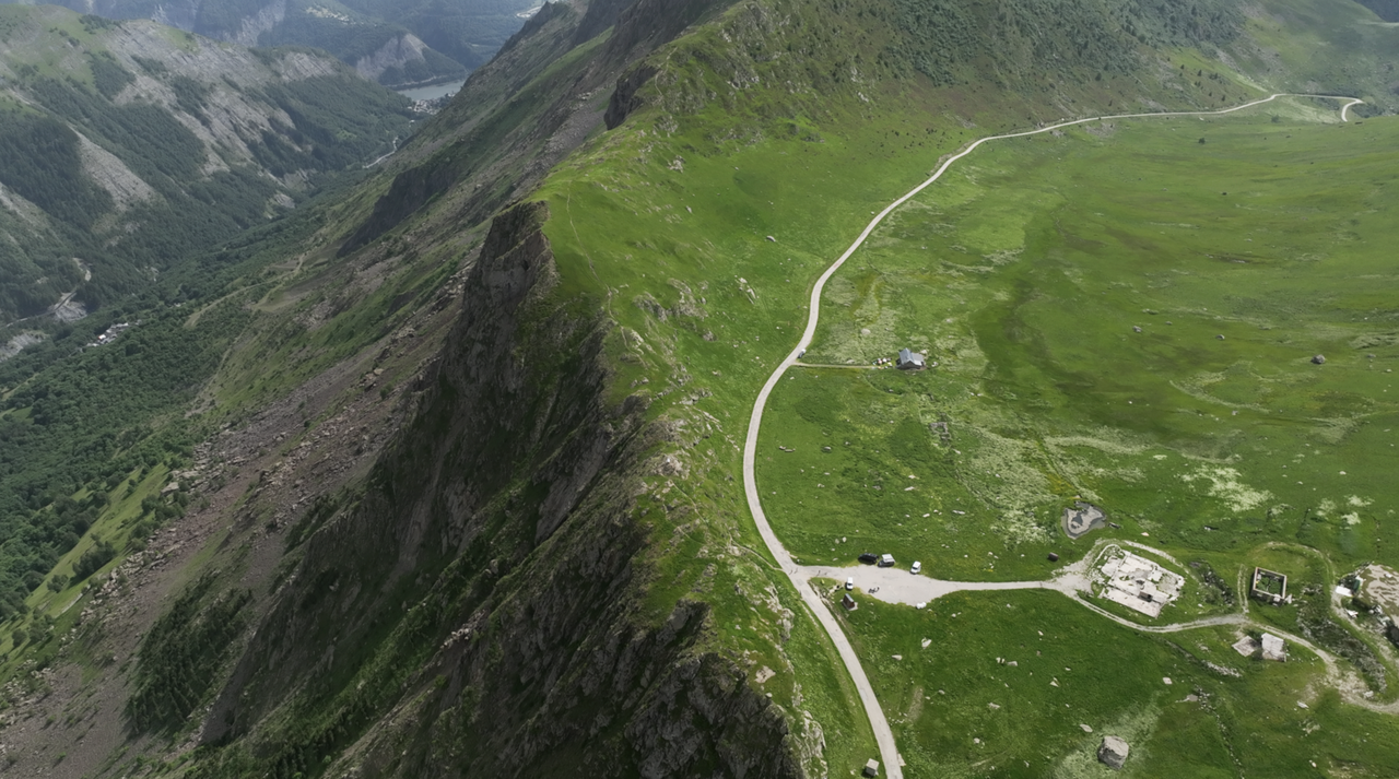
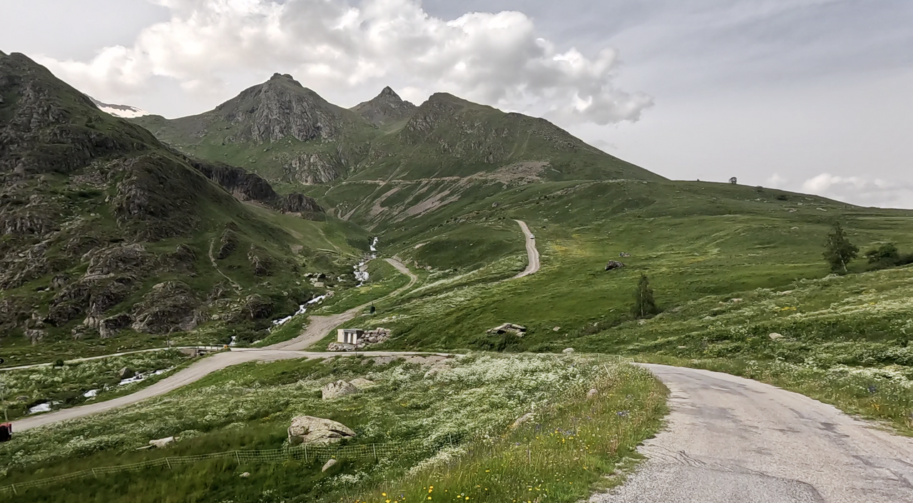
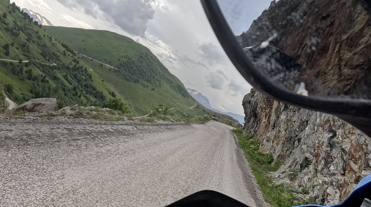
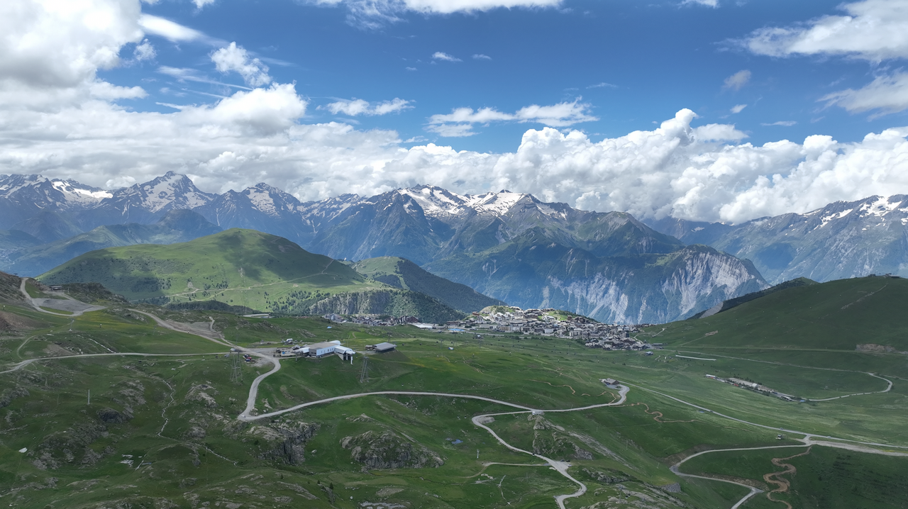
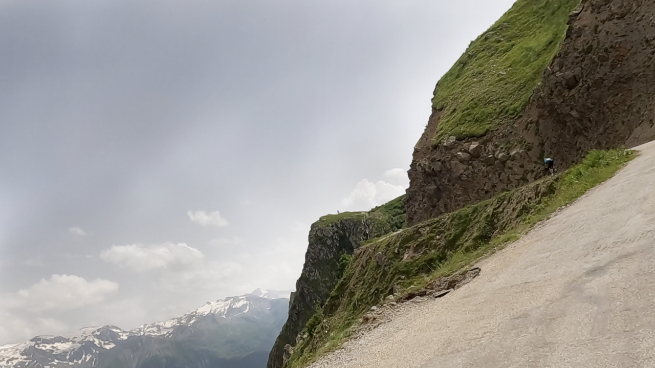
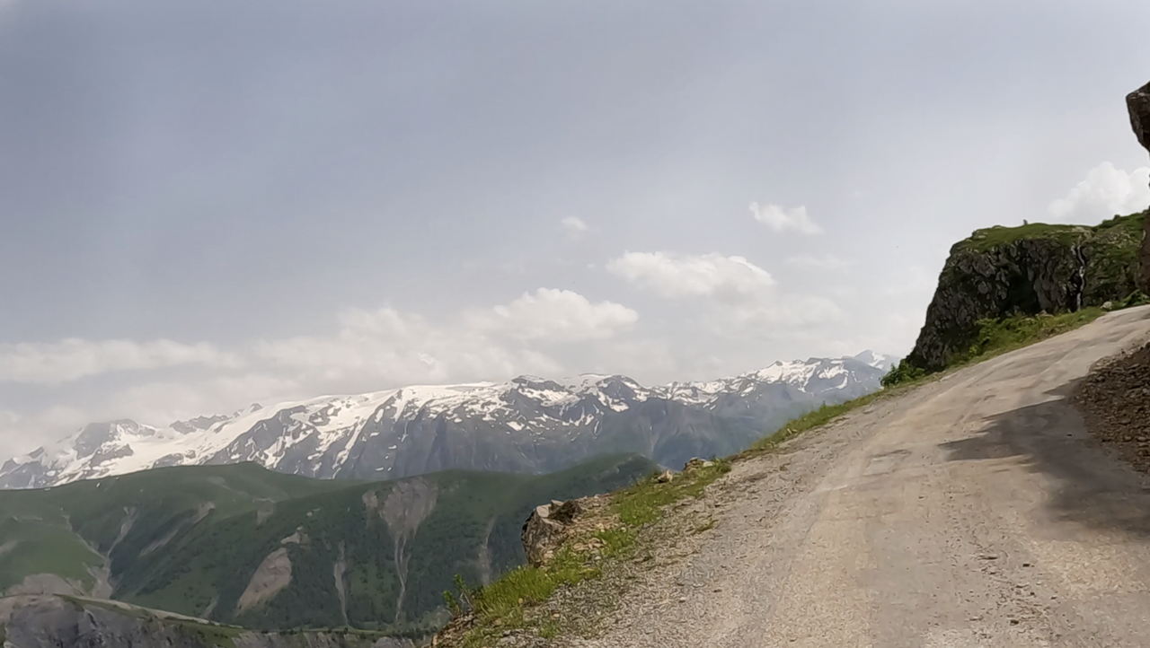
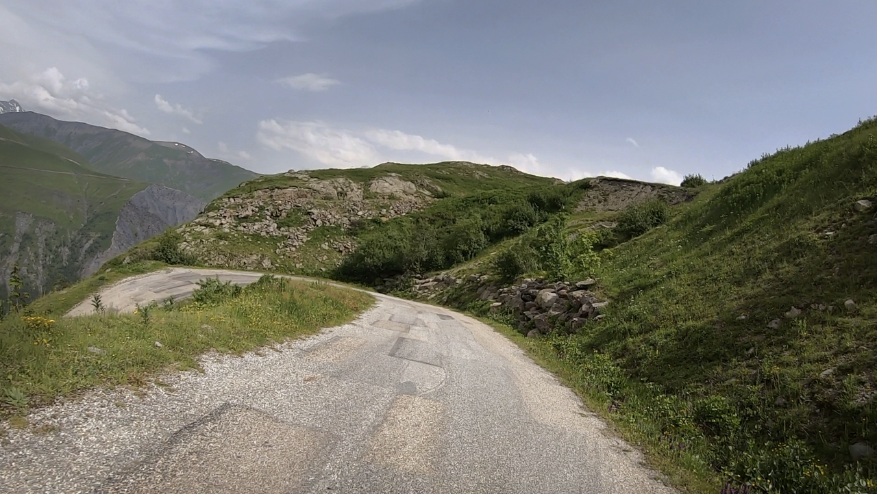
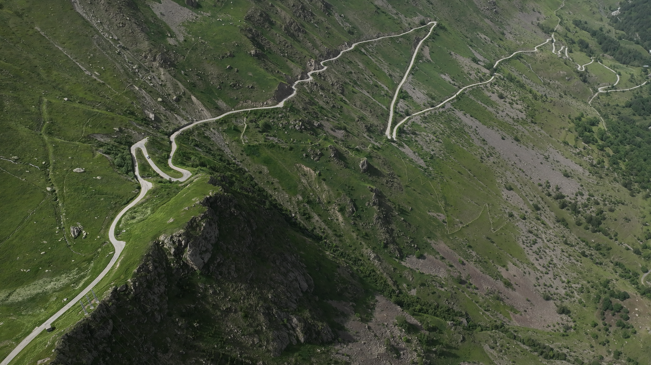
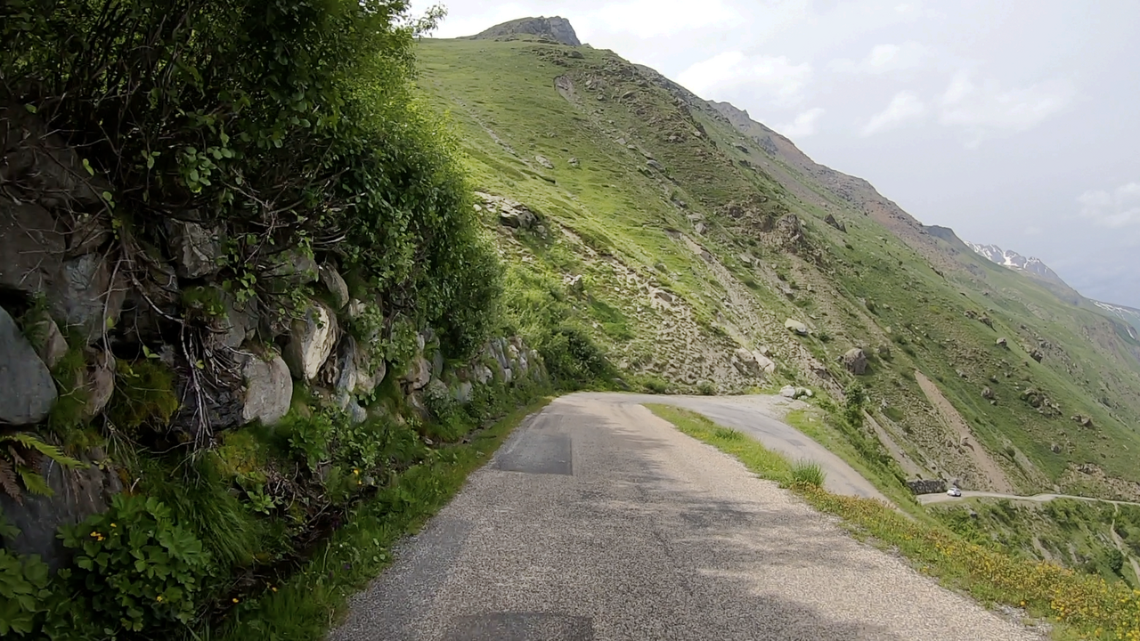
From Mizoen, located in the east, a well-paved road leads to the Col de Sarenne, but from the village of Le Perron onwards, the road is poorly paved. The upper part of the route is narrow and unpaved. The route offers magnificent views down into the valley again and again. With the last few metres, you then cross a narrow ridge up to a high plateau, in the further course of which the Alpe d'Huez can be reached.
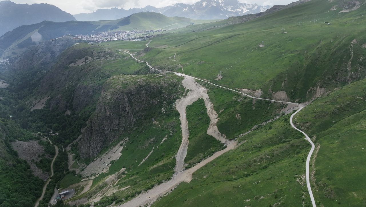
A partly asphalted, partly gravelled road leads towards Alpe d'Huez. Here, there are opportunities to take a break in some places, with magnificent views of the valley.
Even though part of it is gravel, this pass is a must in terms of variety, views and challenge.
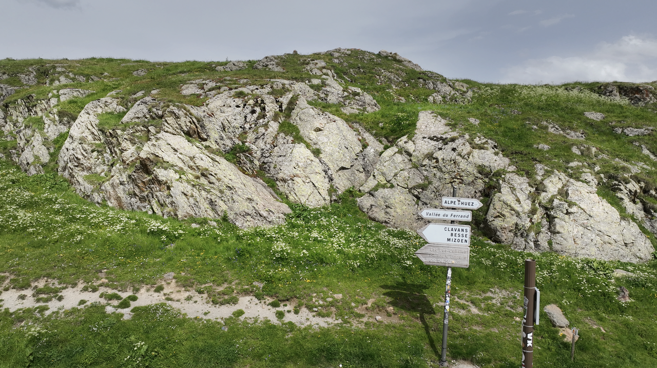
Furthermore, the Col de Sarenne can be easily combined with the Col de la Confession, which branches off to the west in the village of Huez (unfortunately not signposted – keep to the direction of Villard-Reculas). Of course, you can also take the descent directly down to Bourg d'Oisans, but this is frequented by many cyclists.
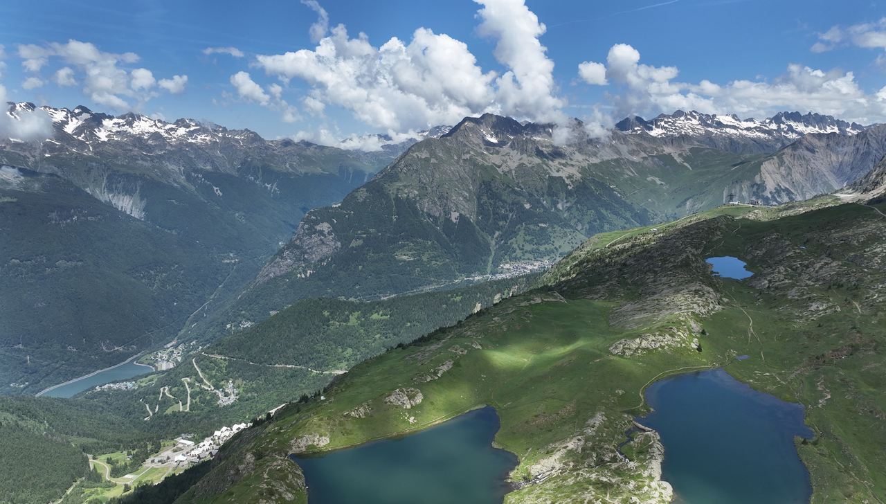
Alternatively, there is a narrow road that leads down to Auris and then on to Bourg d'Oisans (distance: 24 kilometres). This route is completely gravelled. It leads over another Alpine pass, even if it is not recognisable as such, the Col de Cluy.
| Country | Frankreich |
| Region | Isère |
| Coordinates | 45.08770800, 6.14824900 |
| Elevation | 1999 m |
| Max. slope | |
| Toll road | no |
| Road surface | Asphalt, Gravel |
| Cul-de-sac | no |
| Length | 20 Km |
| Travel time | Normal to slow |
| Route | Mizoën Alpe d'Huez |
 clear sky, 13.9°C