




Passo dell’Aprica | 1176 METER | Edolo Tresenda
This Alpine pass takes its name from the village of Aprica, which lies at an altitude of 1,176 metres. Aprica is the centre of a ski resort, which is why the pass is open to traffic all year round. Consequently, the road is wide and well-maintained.
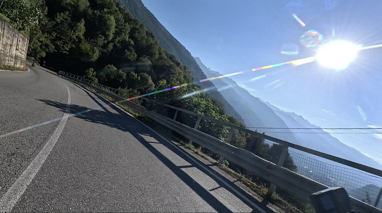
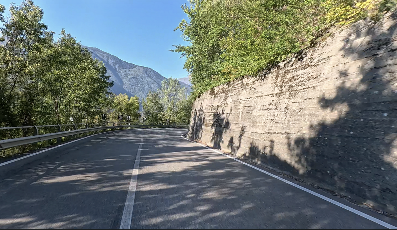
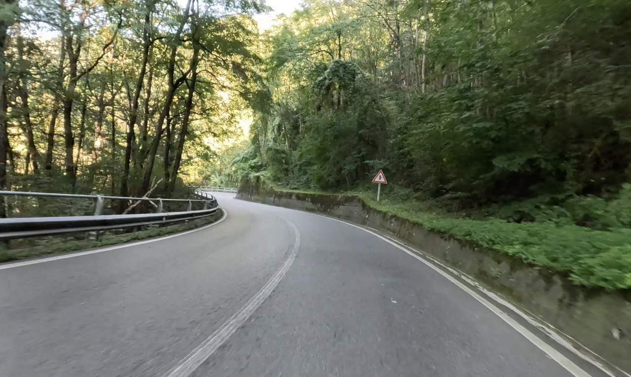
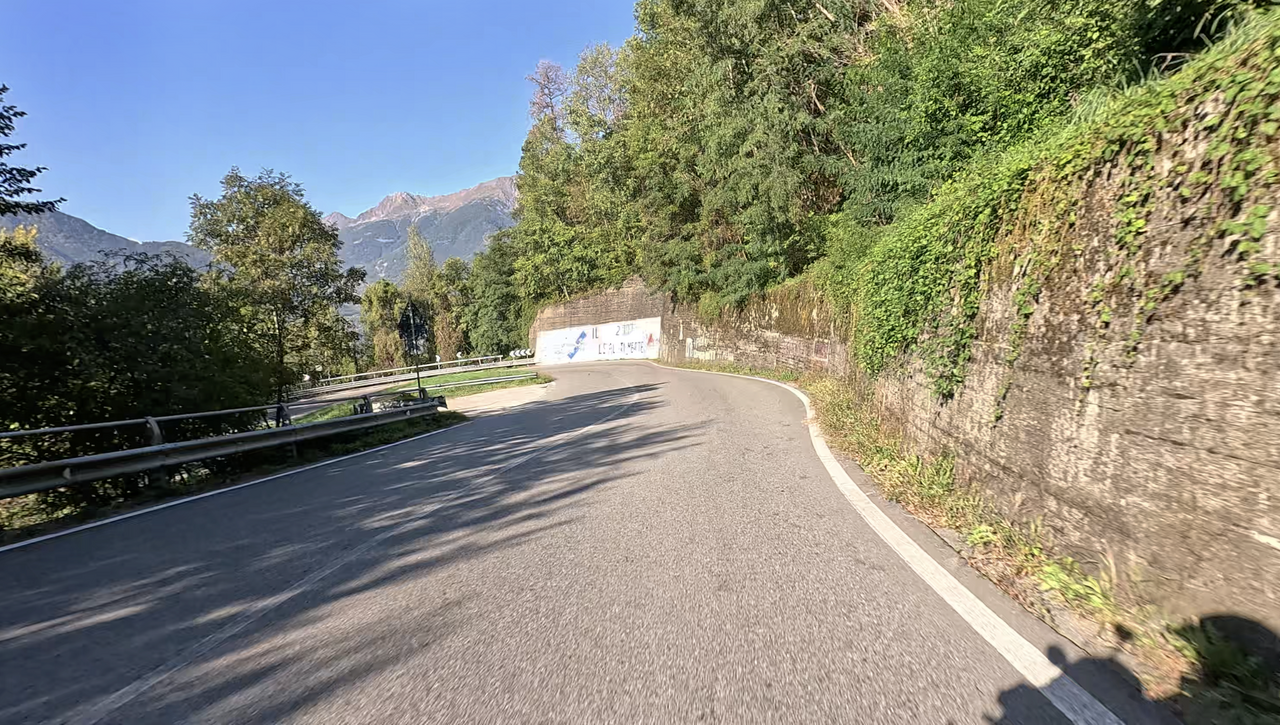
The western side of the Passo dell’Aprica is more interesting to drive along – it is more winding and offers beautiful views of the Valtellina Valley.
The name Passo dell’Aprica was only coined with the construction of the ski resort. Before that, the pass was called Passo di San Pietro, named after a small church. The “Chiesa parrocchiale dei SS. Pietro e Paolo” stands a little north of the main road, right at the original summit of the pass.
Tour tip: If your tour takes you through the Valtellina Valley, you can include the Alpine passes Passo dell’Aprica, Passo di Guspessa and Passo del Mortirolo. If you have time, you can add a detour to the Col Carette in Val Bighera – on the eastern side of the Passo del Mortirolo.
| Country | Italien |
| Region | Lombardia |
| Coordinates | 46.15545224, 10.15952153 |
| Elevation | 1176 m |
| Max. slope | 9 % |
| Toll road | no |
| Road surface | Asphalt |
| Cul-de-sac | no |
| Length | 32 Km |
| Travel time | Normal |
| Route | Edolo Tresenda |
 overcast clouds, 3.5°C
 Subscribe to Newsletter