

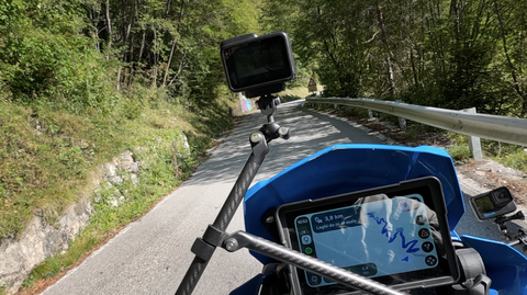





Col Carette di Val Bighera | 2130 METER | Passo del Mortirolo Passo del Mortirolo
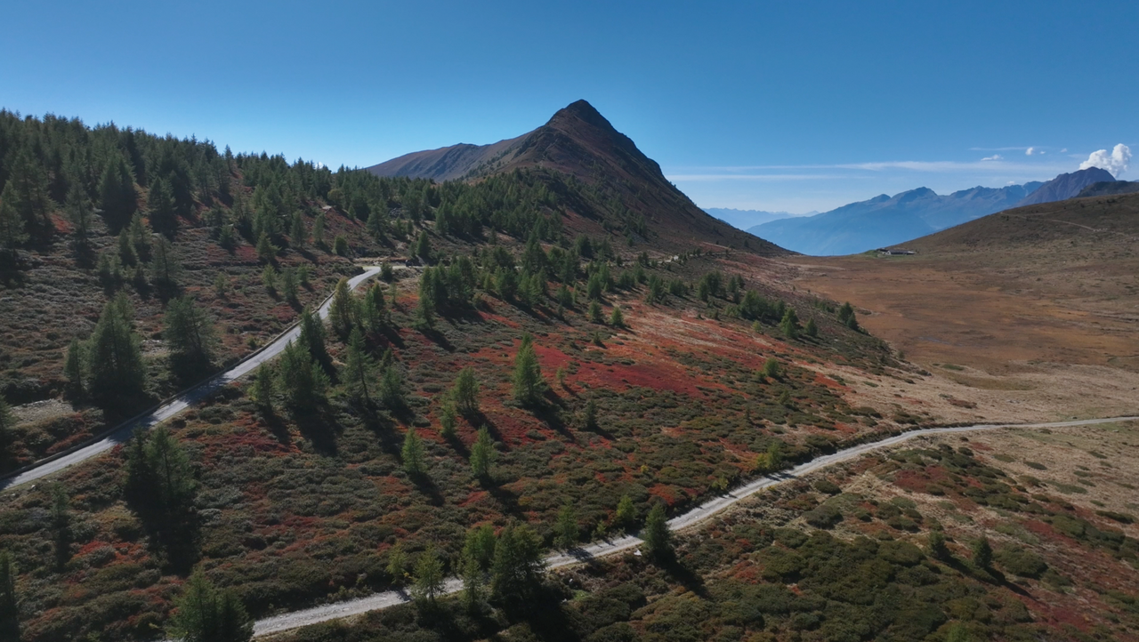
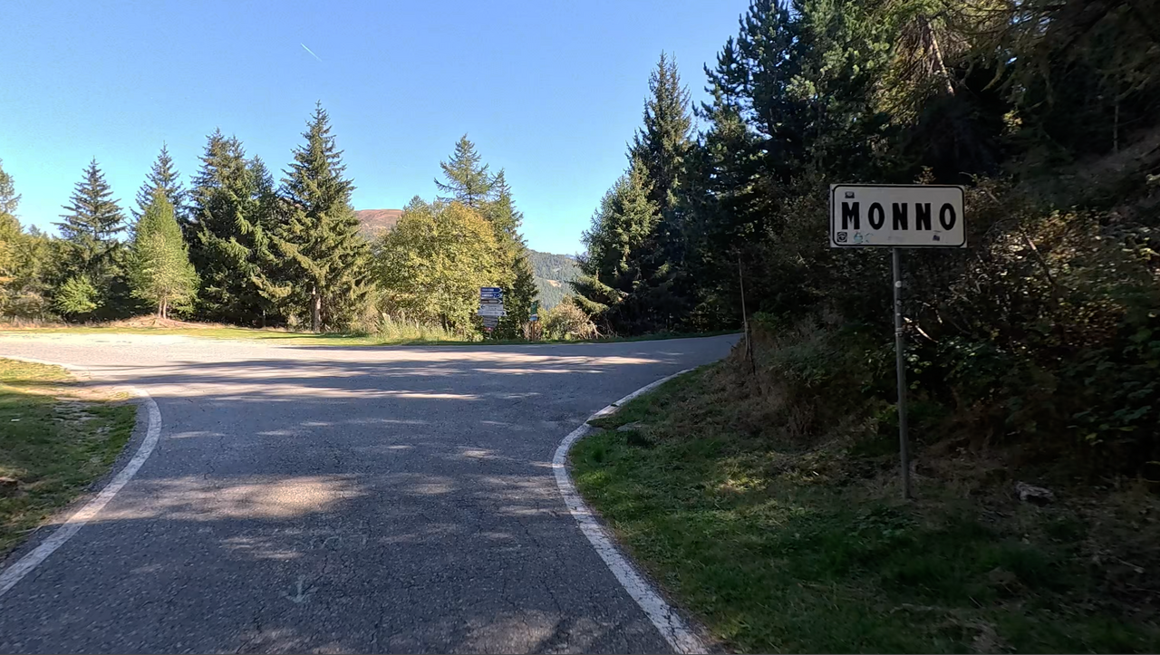
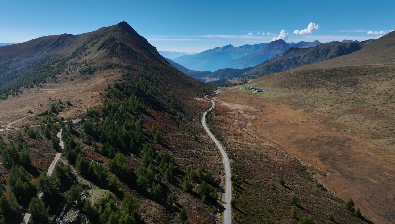
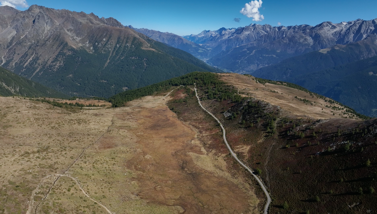
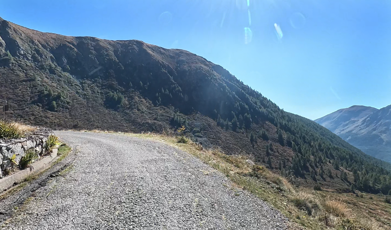
The Col Carette di Val Bighera, at 2,130 metres, lies on a road originally built for military purposes along a mountain ridge, starting at the Passo del Mortirolo. The road is open to traffic from the Passo del Mortirolo to the end of the high valley. Beyond that point, heading down towards Vezzo d’Oglio, it is closed to motorised vehicles without a special permit.
For this section, in addition to a permit, extensive off-road experience and suitable vehicles are required – this also applies to mountain bikers.
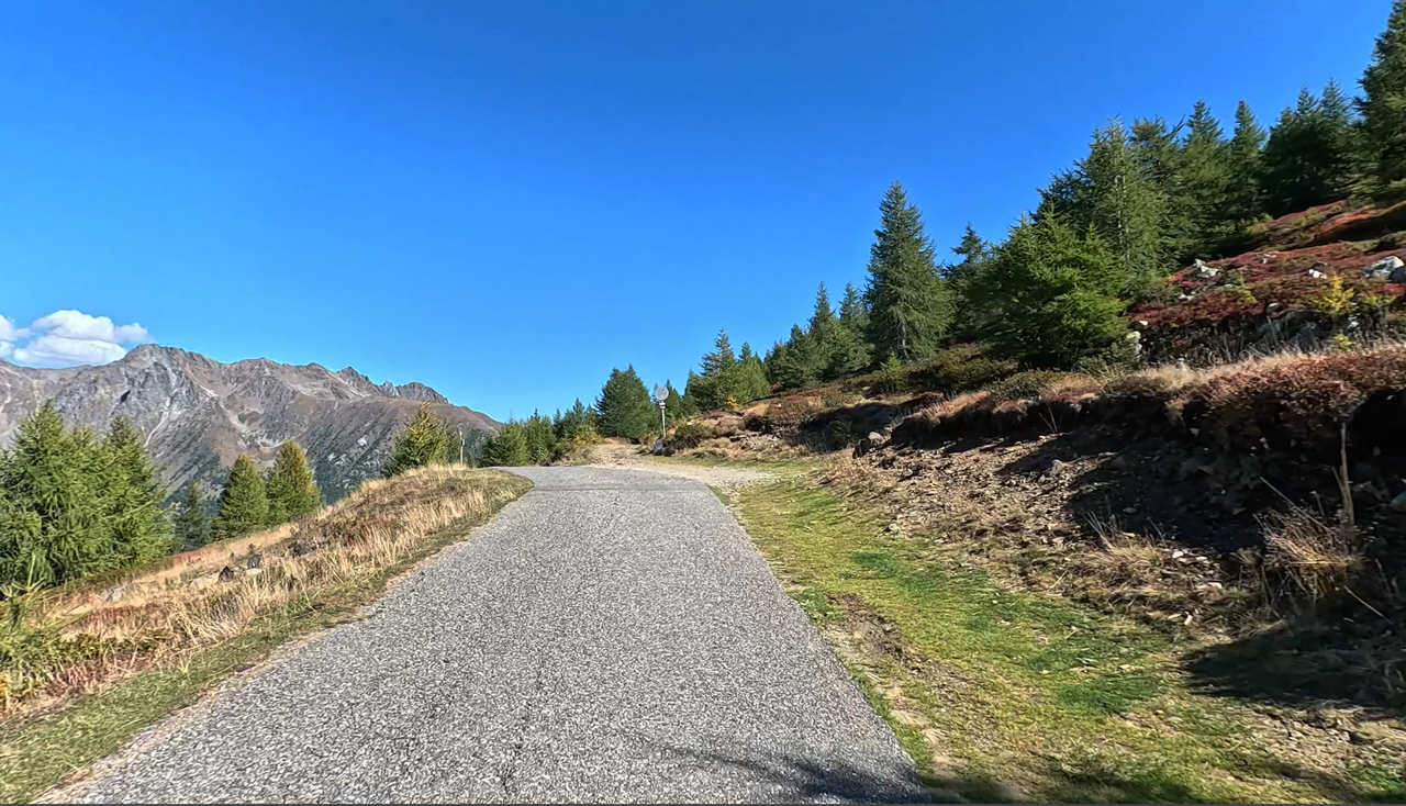
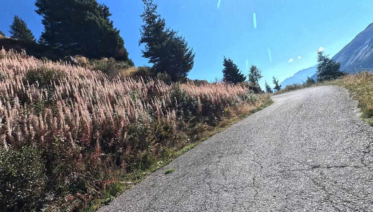
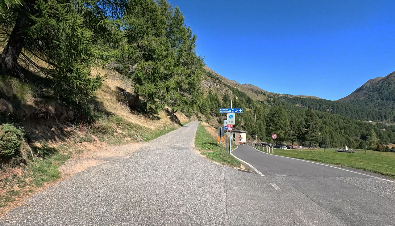
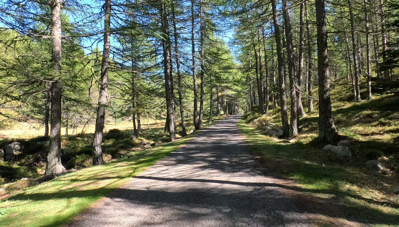
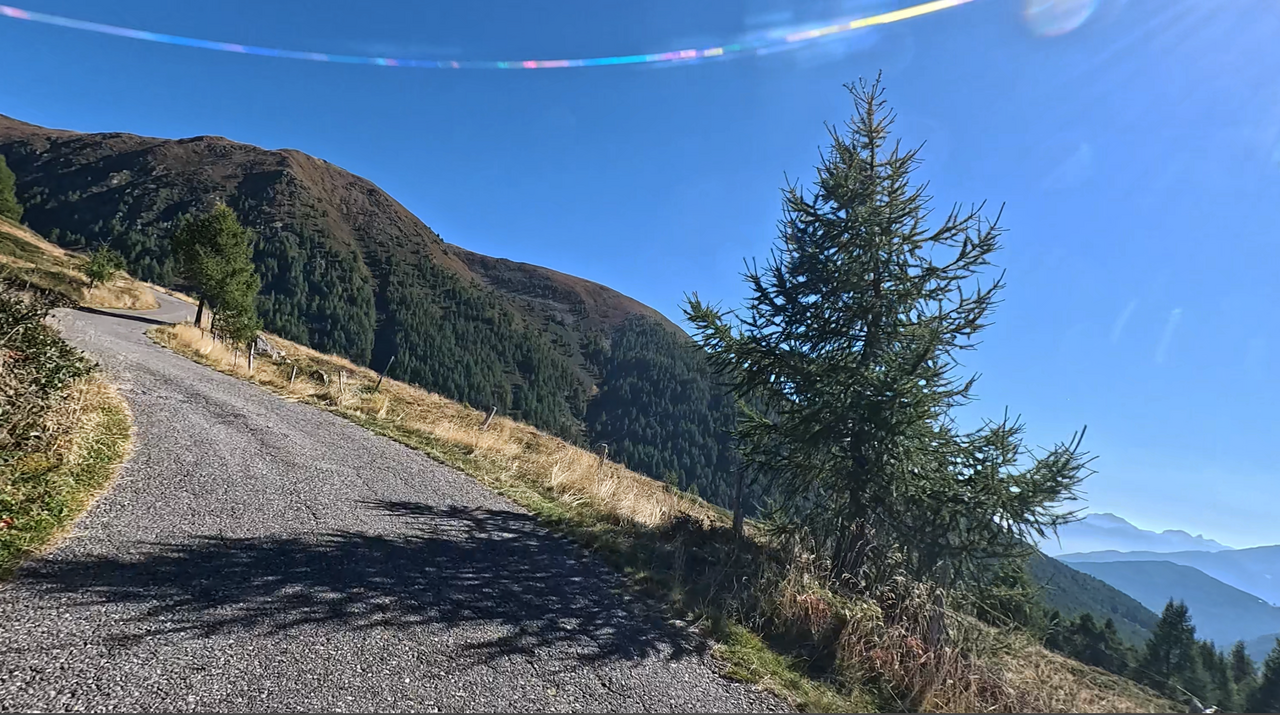
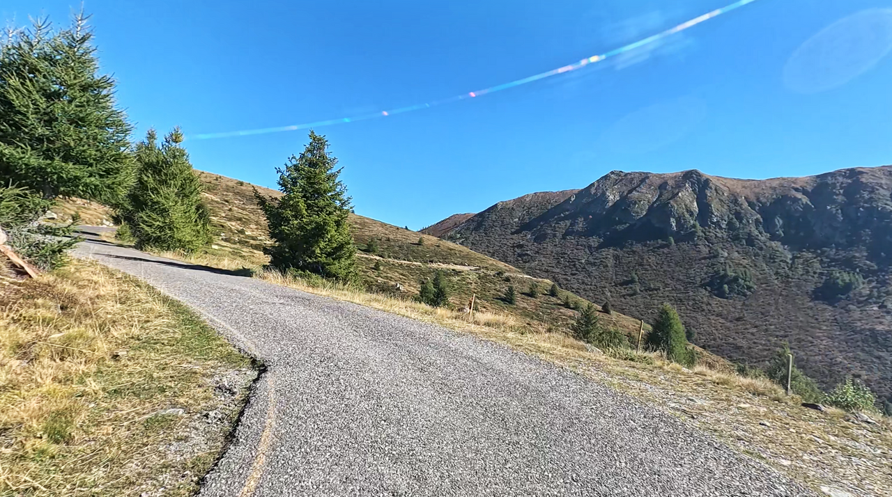
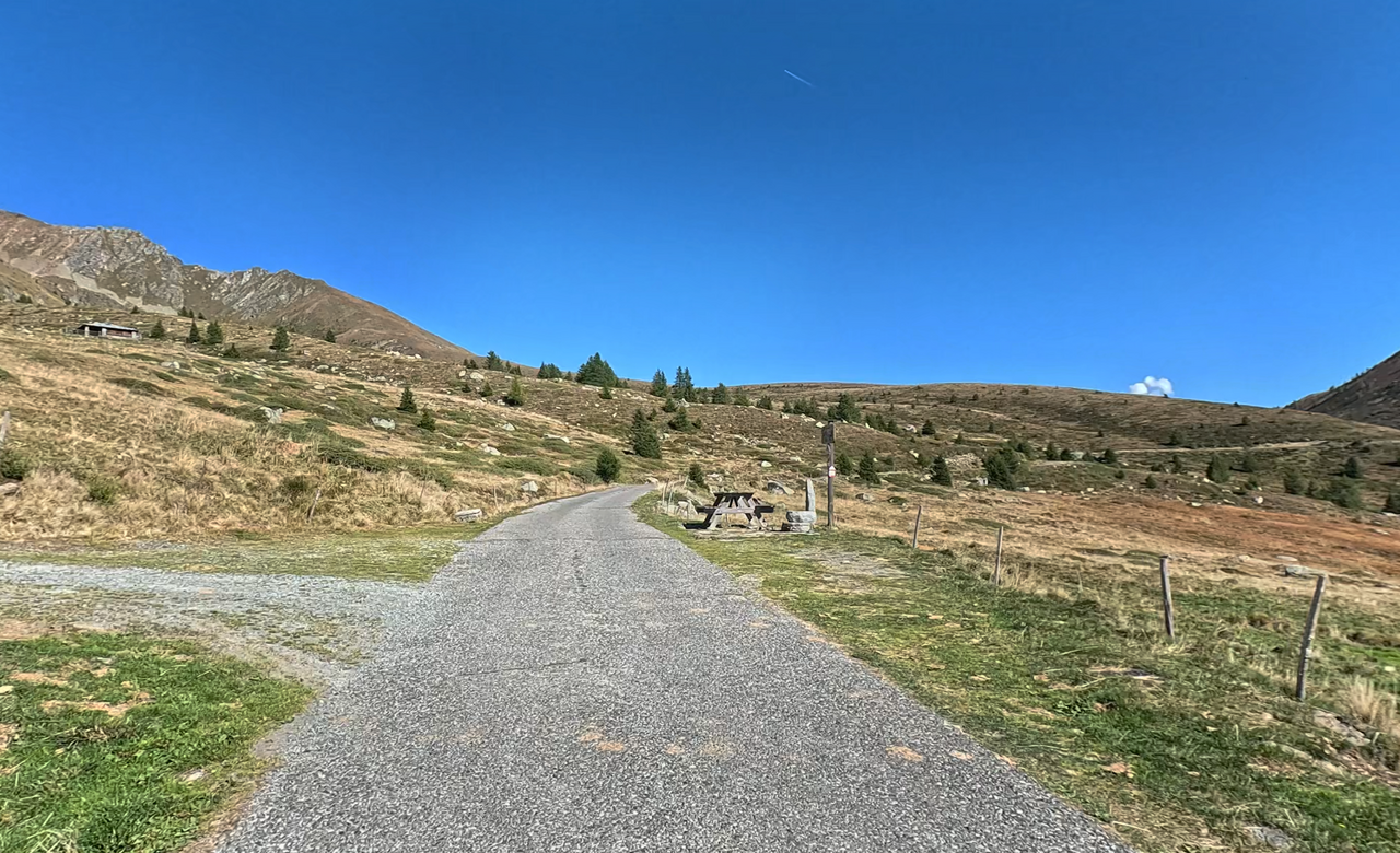
The section open to traffic is narrow, poorly tarmacked, but not very steep or winding. The view across to the Passo del Mortirolo and down into the valley is breathtakingly beautiful. Even though the route is a dead end, it is well worth a trip there.
Suggested videos (Passtracks close by)
| Country | Italien |
| Region | Lombardia |
| Coordinates | 46.24992950, 10.33324150 |
| Elevation | 2130 m |
| Max. slope | 8 % |
| Toll road | no |
| Road surface | Asphalt |
| Cul-de-sac | no |
| Length | 12 Km |
| Travel time | Slow |
| Route | Passo del Mortirolo Passo del Mortirolo |
 overcast clouds, -1.7°C
 Subscribe to Newsletter