

Passo della Borcola, 1,250 metres: hairpin bends, a narrow road and little traffic.
21 hours ago
Strada delle Tre Valli – a 17-kilometre route of gravel and tarmac for off-road beginners.
2 weeks ago
Passo delle Fittanze della Sega | 1,393 metres: 30 hairpin bends, a 20 per cent gradient and 100 per cent panoramic views.
2 weeks ago




Region: Lombardia
Passo di Guspessa | 1824 METER | Sernio Cortenedolo
The official mountain pass road from Cortenedolo in the south-west to Sernio is closed. This is partly for animal welfare reasons, but also because the route has had to be closed time and again due to weather conditions. Maintaining it no longer makes sense. The road is now only open to local residents and emergency services. Failure to comply: the fines for breaches are now very high.
However, one section has not yet been closed. From the Panoramica del Passo di Guspessa, a section branches off onto the south-eastern ramp – signposted ‘Guspessa’, with a warning that the open section of road ends after a few kilometres.
More images of the pass:
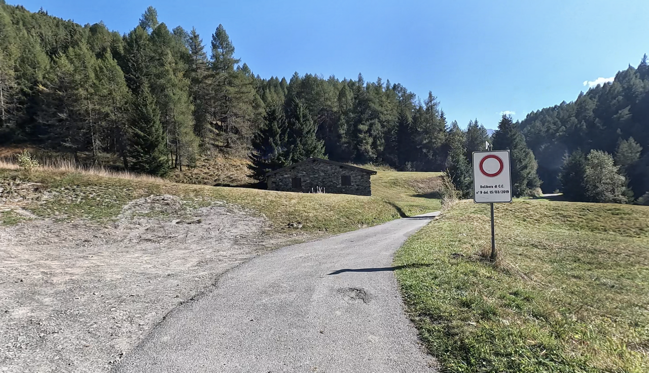
The track down towards Cortenedolo – closed due to animal welfare concerns and the dangerous condition of the road.
The track down towards Cortenedolo – closed due to animal welfare concerns and the dangerous condition of the road.
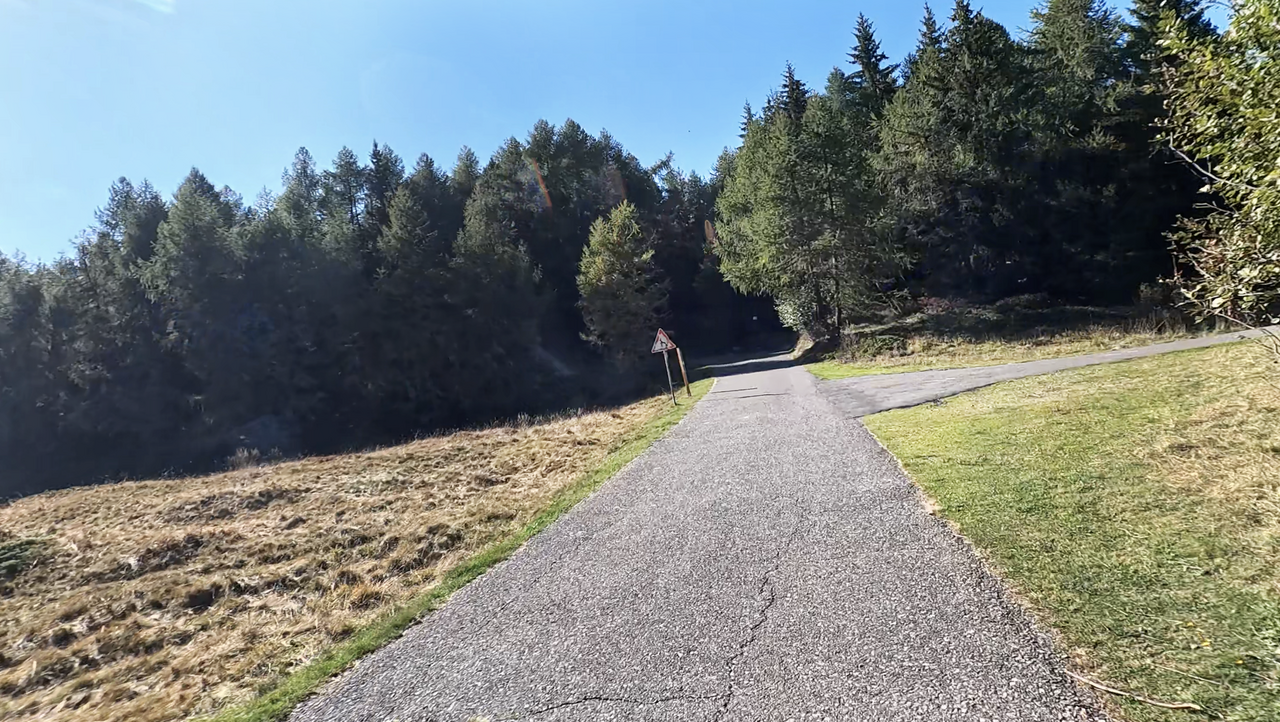
Turn off the Panoramica del Passo di Guspessa heading north-west, towards the top of the pass. The road is closed.
Turn off the Panoramica del Passo di Guspessa heading north-west, towards the top of the pass. The road is closed.
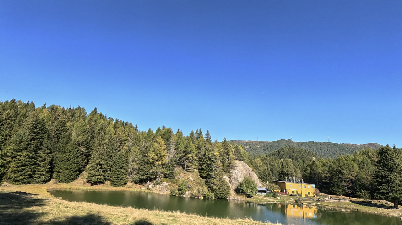
Lake Guspessa. A little further up, off the road, lies the official summit of the Passo di Guspessa.
Lake Guspessa. A little further up, off the road, lies the official summit of the Passo di Guspessa.
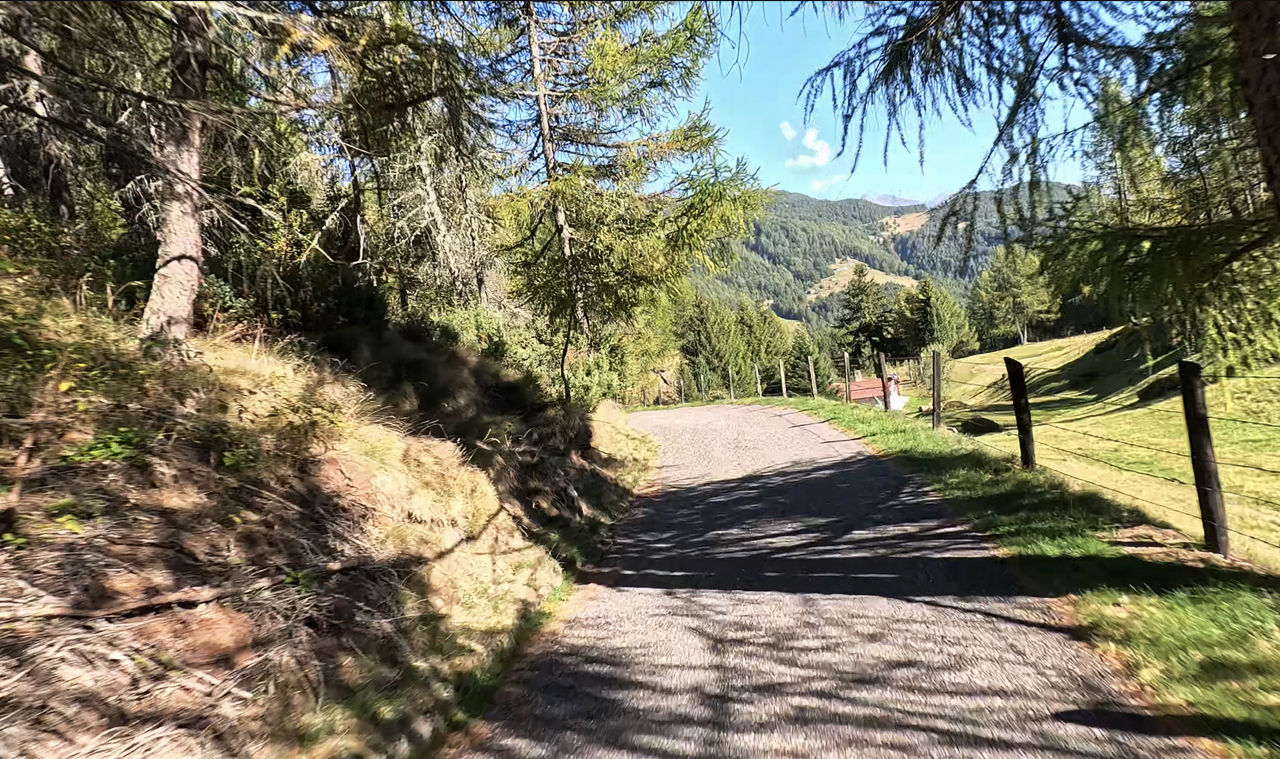
A view of the section of the route to Passo di Guspessa that is open to traffic.
A view of the section of the route to Passo di Guspessa that is open to traffic.
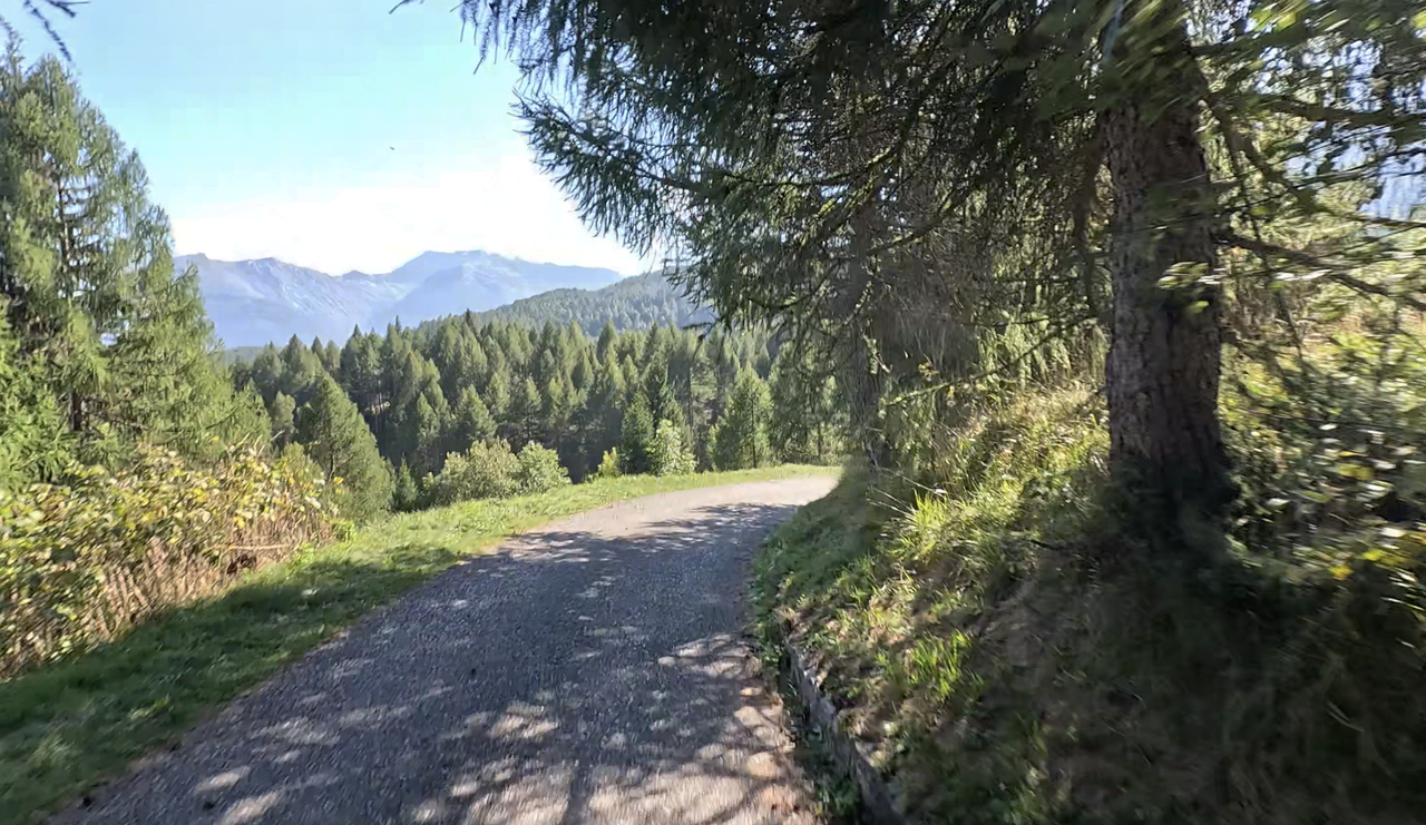
A view of the section of the route to Passo di Guspessa that is open to traffic.
A view of the section of the route to Passo di Guspessa that is open to traffic.
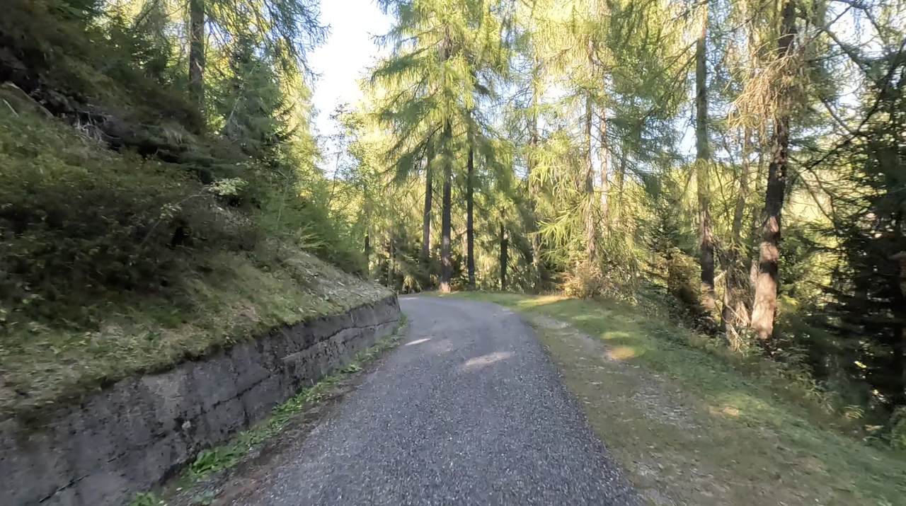
A view of the section of the route to Passo di Guspessa that is open to traffic.
A view of the section of the route to Passo di Guspessa that is open to traffic.
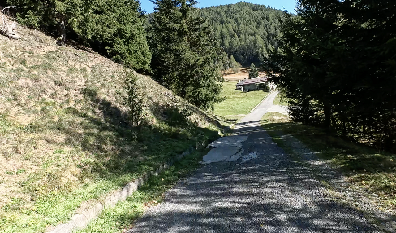
A view of the section of the route to Passo di Guspessa that is open to traffic.
A view of the section of the route to Passo di Guspessa that is open to traffic.
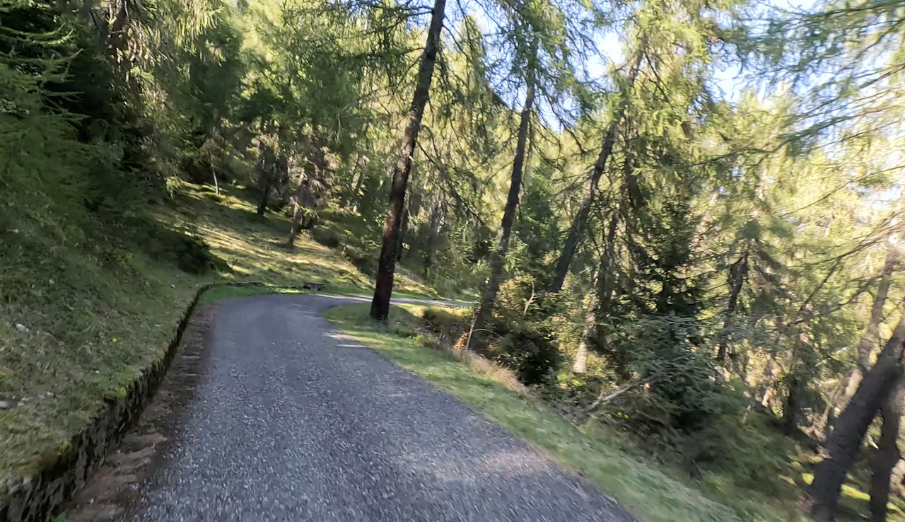
A view of the section of the route to Passo di Guspessa that is open to traffic.
A view of the section of the route to Passo di Guspessa that is open to traffic.
Passtracks close by:
Panoramica del Passo di Guspessa, Passo del Mortirolo, Passo di Santa Cristina, Passo dell’Aprica, Col Carette di Val Bighera
| Country | Italien |
| Region | Lombardia |
| Coordinates | 46.20431664, 10.24046209 |
| Elevation | 1824 m |
| Max. slope | |
| Toll road | no |
| Road surface | Asphalt, Gravel, Steine, Sand |
| Cul-de-sac | no |
| Length | |
| Travel time | Normal to slow |
| Route | Sernio Cortenedolo |
 overcast clouds, 1.4°C
 Subscribe to Newsletter