


Region: Steiermark
Lahnsattel | 1015 METER | Frein an der Mürz Mariazell
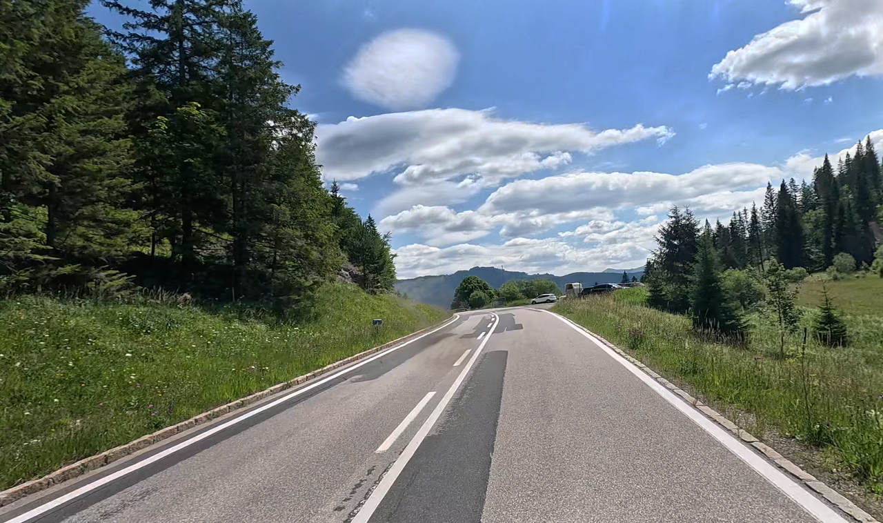
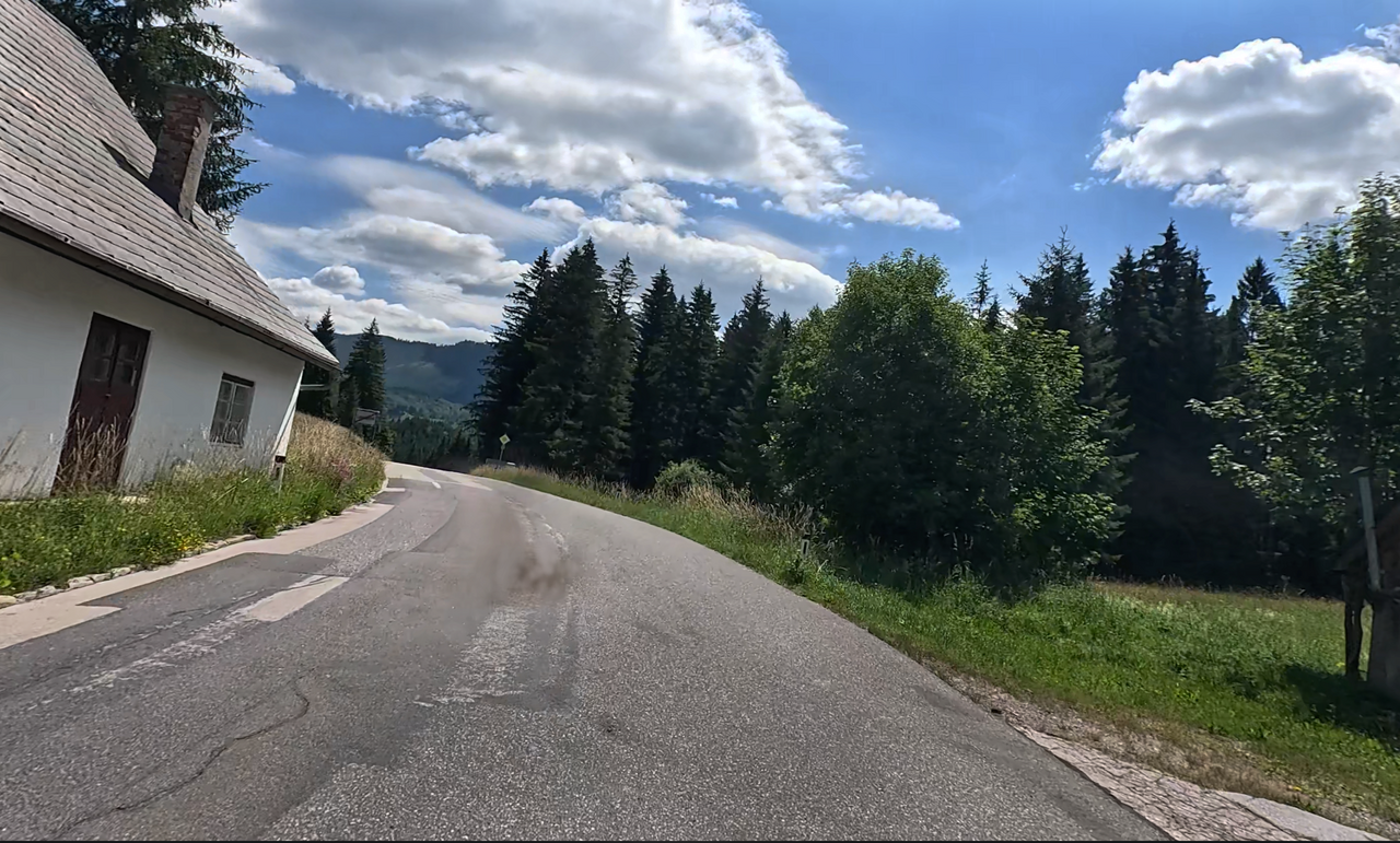
The Lahnsattel is a mountain pass in the Styrian-Lower Austrian Limestone Alps. The Lahnsattel Road B23 runs over it. The crest height of 1015 metres is in the federal state of Lower Austria. The saddle connects the Salza Valley with the Mürz Valley and thus a well-known tourist area with the Styrian industrial area of the Mur-Mürz-Furche. The road has a maximum gradient of 11% on the south-eastern side, but 17% in the west. The Lahngraben was named after the frequent path of avalanches (Lahn in dialect), because the region often experiences snowy winters, as does the pass road to Kernhofer Gscheid and around Mariazell. At the beginning of 2006, the road had to be closed several times at short notice due to metres of snow.
More images of the pass:
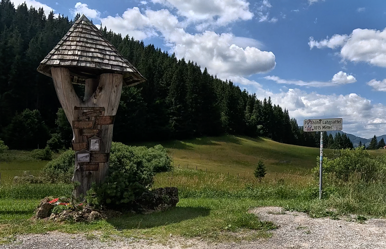
The actual pass is situated just above the village of Lahnsattel – a little way off the road, in a car park.
The actual pass is situated just above the village of Lahnsattel – a little way off the road, in a car park.
Passtracks close by:
Niederalpl, Annaberg, Josefsberg, Ochssattel, Preiner Gscheid
| Country | Österreich |
| Region | Steiermark |
| Coordinates | 47.77310000, 15.50560000 |
| Elevation | 1015 m |
| Max. slope | |
| Toll road | no |
| Road surface | |
| Cul-de-sac | no |
| Length | |
| Travel time | Normal |
| Route | Frein an der Mürz Mariazell |
 overcast clouds, 22.8°C
Hotels close by