


The famous Route des Grandes Alpes – 18 Alpine passes: from Lake Geneva to the Côte d'Azur.
The Route des Grandes Alpes – the legendary Alpine crossing
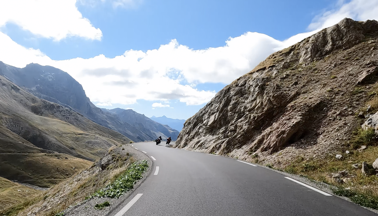
The Route des Grandes Alpes is considered one of the most famous and impressive routes through the Alps. It is over 700 kilometres long and leads over a total of 18 Alpine passes – including the highest paved Alpine pass that is open all year round: the Col de l'Iseran.
Starting point: Thonon-les-Bains – Destination: Menton
The tour begins on the northern shore of Lake Geneva in the town of Thonon-les-Bains and ends on the Côte d'Azur in the picturesque town of Menton, the easternmost French town neighbouring Monte Carlo. Along the way are some of the most beautiful, highest and most spectacular passes in the Alps, giving the route its name, ‘Route des Grandes Alpes’ – the road of the great Alps.
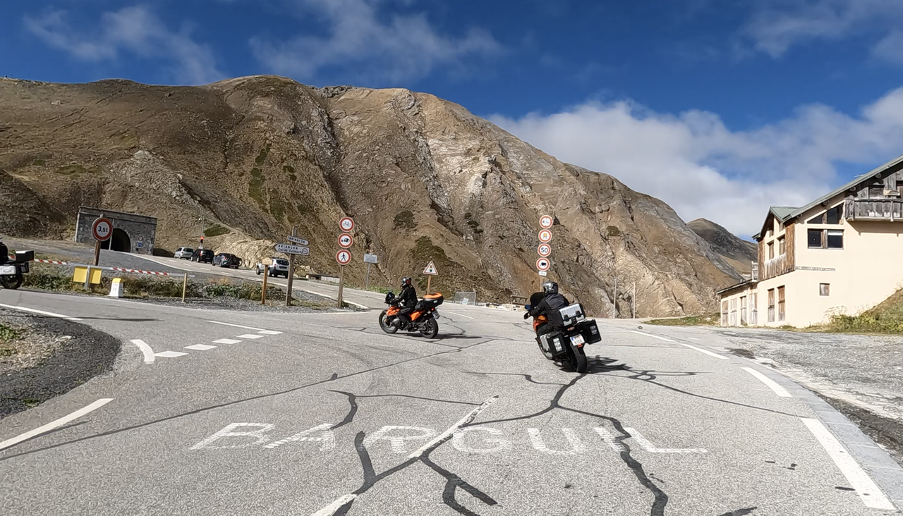
The first pass is the rather unspectacular Col des Gets (1,163 m), one of the lowest on the route. Only the last pass before the Mediterranean, the Col de Castillon (706 m), is lower. In between, there are numerous highlights: A total of seven passes exceed the 2,000-metre mark, including the famous Col du Galibier, the Col de l'Izoard and, of course, the Col de l'Iseran with its impressive 2,764 metres.
Another well-known section is the Col de Turini, famous for the Monte Carlo Rally – although not quite as high, it is legendary among motorsport fans.
Varied landscapes and cultural highlights
The route impresses not only with its alpine diversity – from the wild, unspoilt landscapes of the Haute-Savoie to the Mediterranean flair of the Alpes-Maritimes – but also with numerous sights along the way.
Among other things, there is:
Historic fortifications around Briançon
The spectacularly situated Fort Victor-Emmanuel north of the Col de l'Iseran
Picturesque villages such as Guillestre, Saint-Paul-sur-Ubaye and Roubion, built into the rock
A motorcycle museum in Saint-Paul-sur-Ubaye with around 70 restored machines from 100 years of motorcycle history
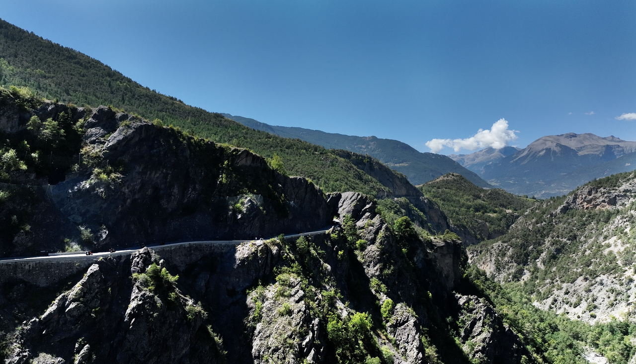
In addition to the high passes, the route also leads through deep gorges such as the Gorges de Guil between the Col de l'Izoard and the Col de Vars – a scenic highlight.
A stopover in Briançon (Video) is particularly worthwhile: the town, dominated by mighty fortresses, offers numerous cafés, restaurants and a magnificent view.
18 Alpine passes – or more?
The number of officially crossed Alpine passes varies depending on the source. Some include the Col du Lautaret, although it shares the ramp with the Col du Galibier and is not crossed directly. The little-known Col de la Platrière, located south of the Col de l'Izoard and only partially crossed, is also occasionally mentioned. Nevertheless, both are located along the route and are part of the experience.
A must for every fan of the Alps
Whether you travel from north to south, south to north or even in both directions, each variant reveals new perspectives and impressions. This route is an absolute must for lovers of mountain roads and panoramic drives.
The 18 official Alpine passes of the Route des Grandes Alpes (north–south):
Col des Gets (1,163 m)
Col de la Colombière (1,613 m)
Col des Aravis (1,487 m)
Col des Saisies (1,650 m)
Cormet de Roselend (1,967 m)
Col de l'Iseran (2,764 m)
Col du Télégraphe (1,566 m)
Col du Galibier (2,642 m)
Col du Lautaret (2,058 m)
Col d'Izoard (2,360 m)
Col de la Platrière (2,220 m)
Col de Vars (2,109 m)
Col de la Cayolle (2,326 m)
Col de Valberg (1,672 m)
Col de la Couillole (1,678 m)
Col Saint-Martin (1,500 m)
Col de Turini (1,607 m)
Col de Castillon (706 m)
Tip
You can find more information about the tour in the Alpine Passes Atlas with GPX data and detailed descriptions.
Or download the Tour PDF for the Route des Grandes Alpes with lots of pictures and information about all 18 passes (may take a few seconds to generate).