


Region: Niederösterreich
Wastl am Wald | 1100 METER | Puchenstuben B20
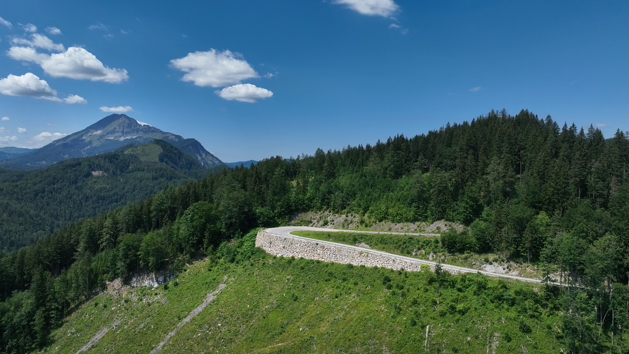
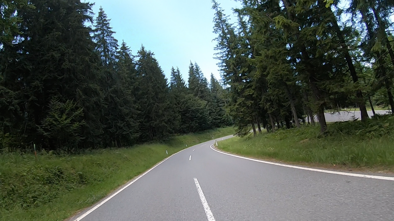
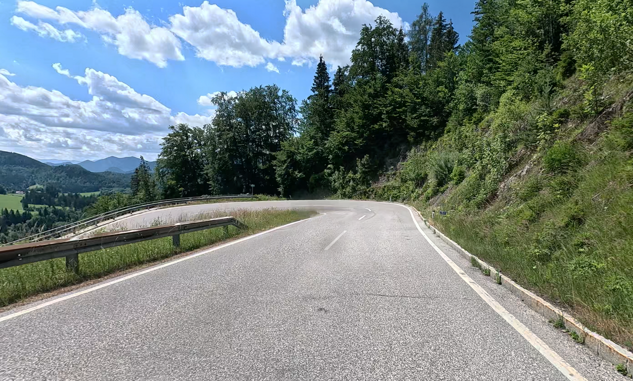
Located on the B28, the pass gets its strange-sounding name from a mountain house near the summit. In just under 20 winding kilometres, it climbs over 1000 metres in altitude.
More images of the pass:
Passtracks close by:
Josefsberg, Annaberg, Zellerain-Pass, Lahnsattel, Hals
| Country | Österreich |
| Region | Niederösterreich |
| Coordinates | 47.89463870, 15.30271890 |
| Elevation | 1100 m |
| Max. slope | |
| Toll road | no |
| Road surface | Asphalt |
| Cul-de-sac | yes |
| Length | 13 Km |
| Travel time | Normal |
| Route | Puchenstuben B20 |
 scattered clouds, 32.6°C