


Timmelsjoch | 2474 METER | Obergurgl St. Leonhard in Passeier
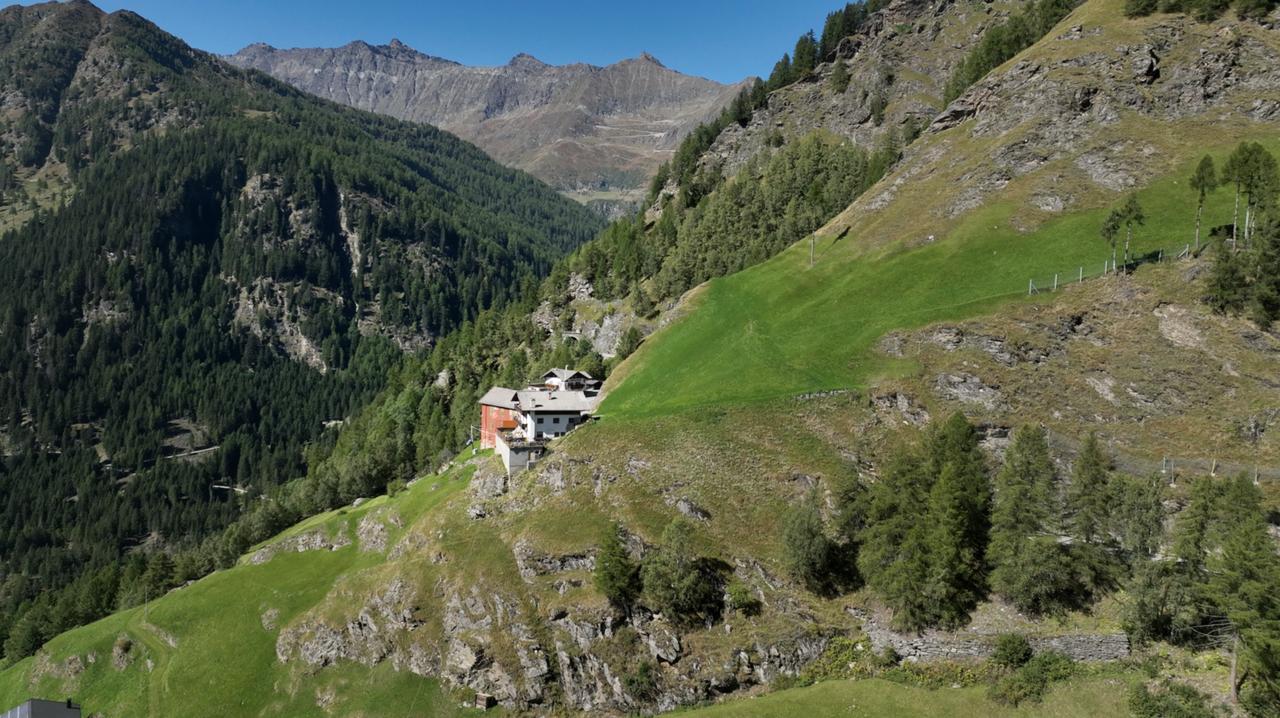
Das Timmelsjoch liegt auf einer Höhe von 2474 Meter und ist nach dem 1. Weltkrieg , genauer seit 1919 ein Grenzpass zwischen Österreich und Italien geworden. Das Timmelsjoch ist der höchste Alpenpass-Übergang in Nord-Süd-Richtung, und liegt zwischen Reschenpass und Brennerpass. Das Timmelsjoch verbindet das Ötztal in Österreich mit Passeier Tal in Südtirol. Dort führt die Verbindung hinunter nach Meran. Das Timmelsjoch trennt damit die Ötztaler Alpen von den Stubaier Alpen.
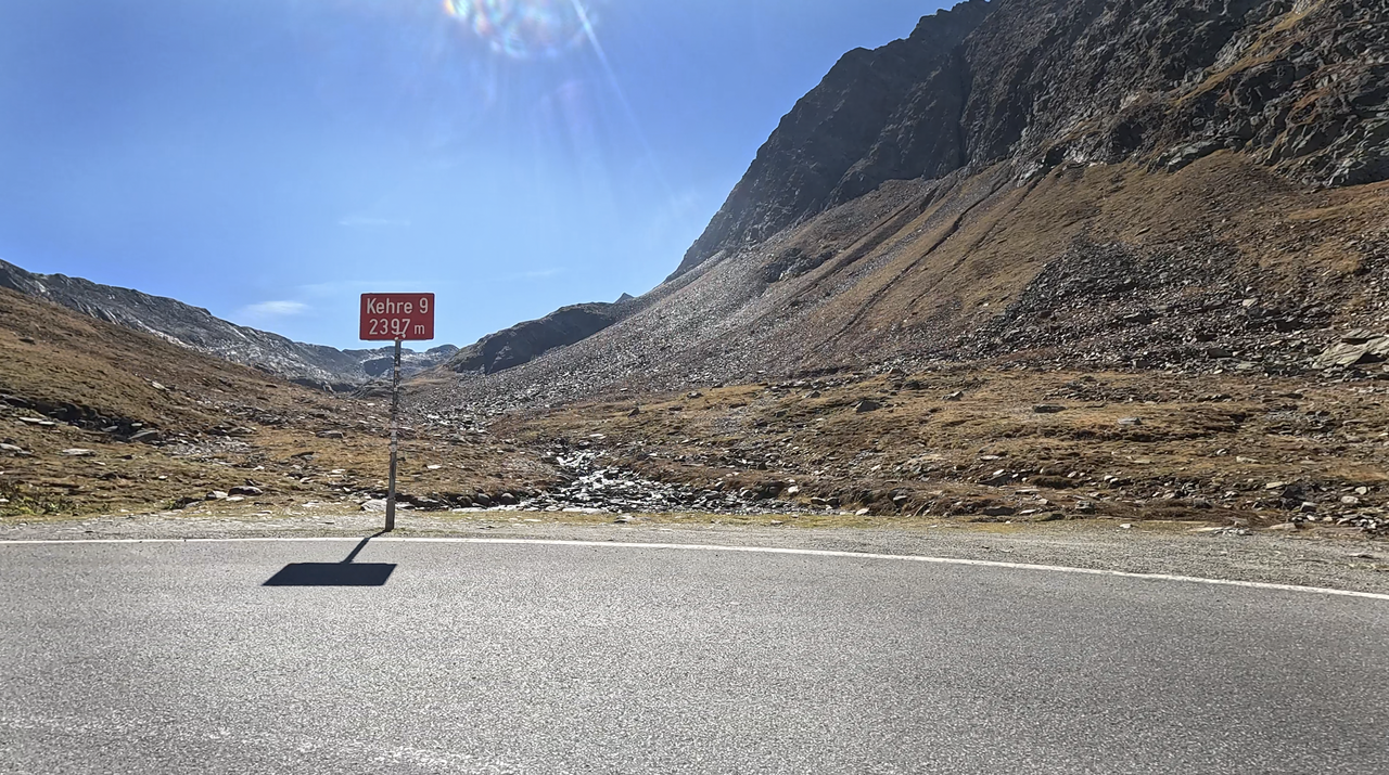
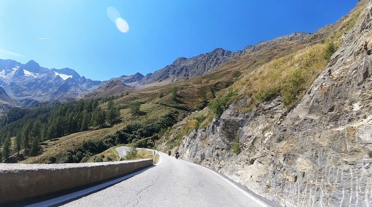
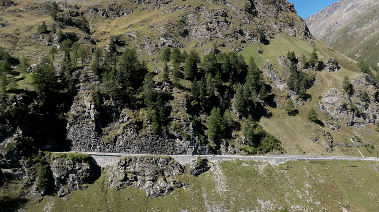
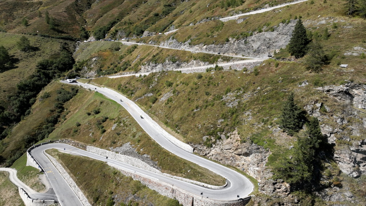
Die Rampen dieses Alpenpasses sind extrem unterschiedlich. Die österreichische Seite weist vergleichsweise wenig Kurven auf – offiziell, auf Tafeln zu lesen, sind es gerade mal neun Kehren, auf einer Länge von 19 Kilometern. Es gibt viele langezogene Passagen, die allerdings durch malerische und beeindruckende Landschaften gezeichnet sind.
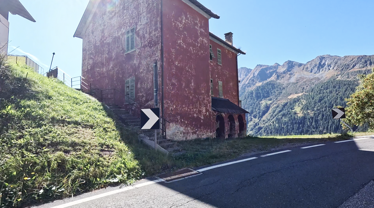
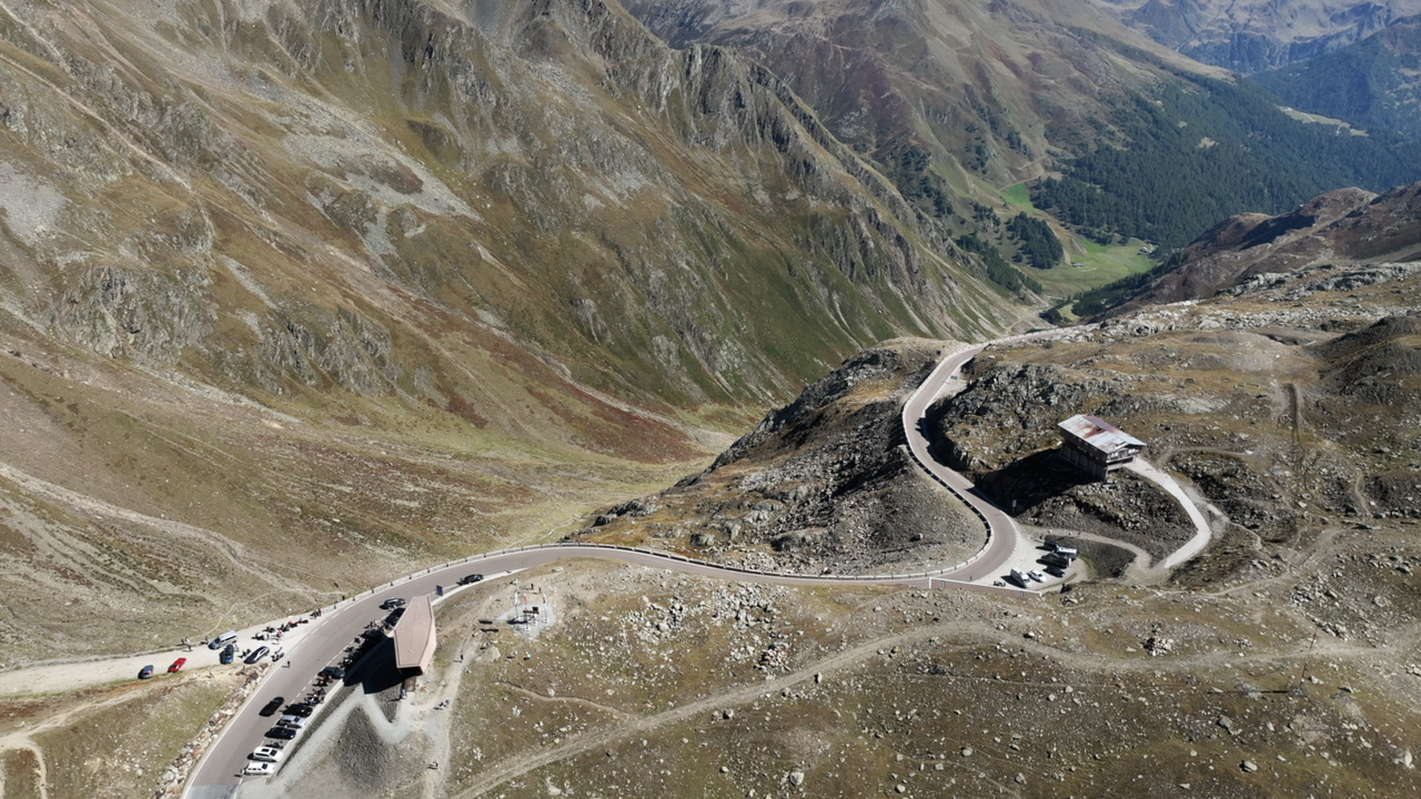
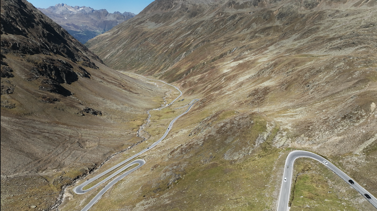
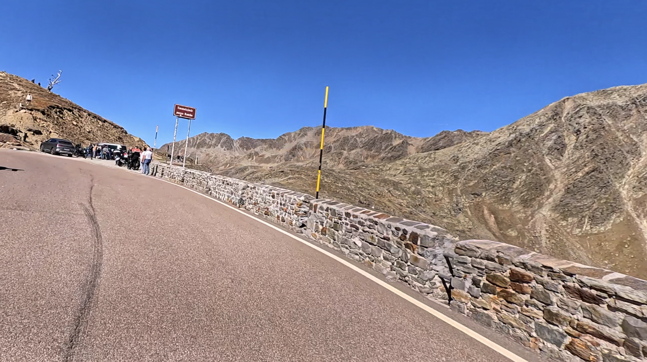
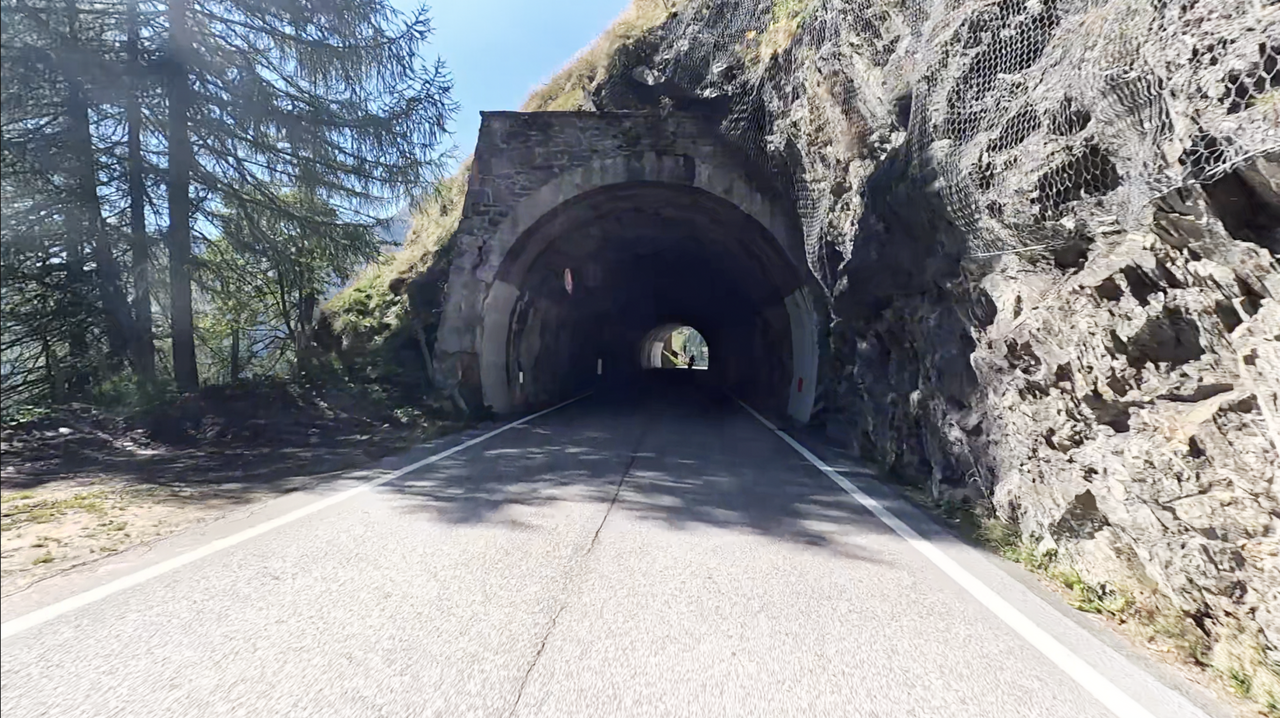
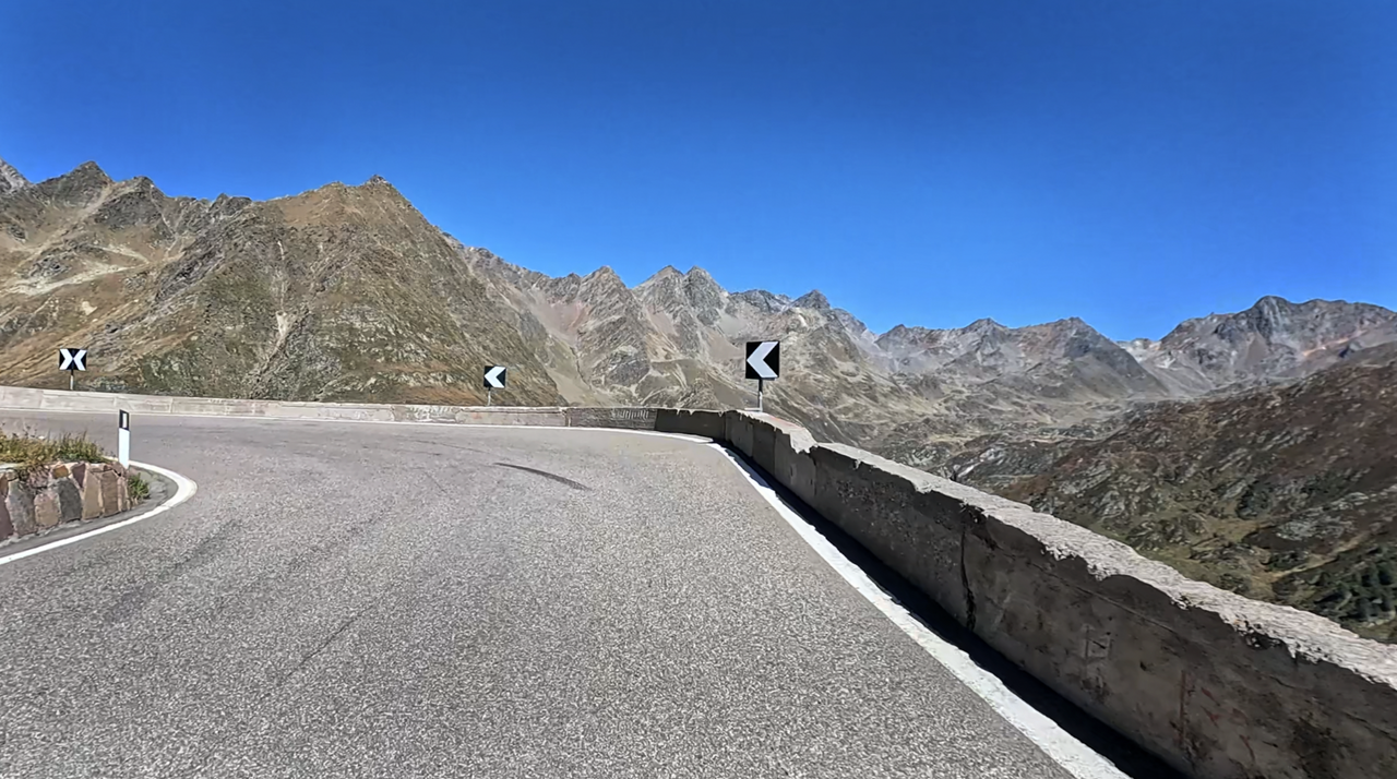
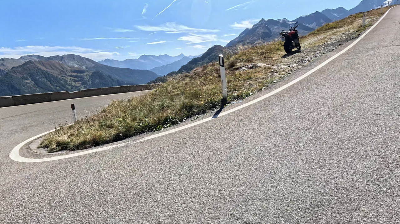
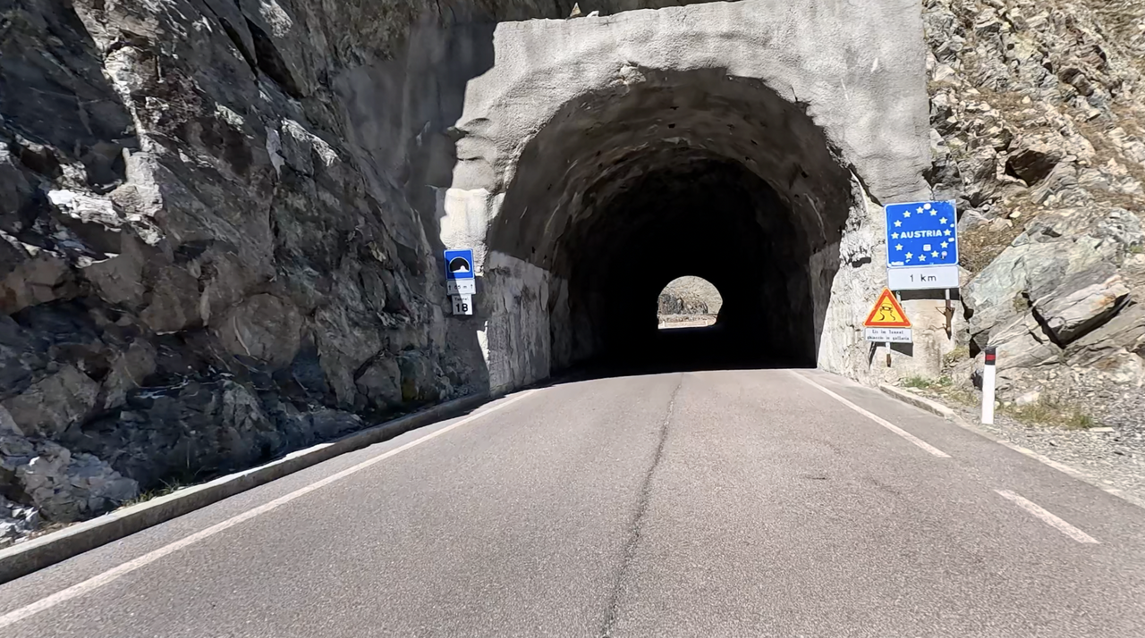
Die italienische Rampe dagegen zeichnet sich durch einige, durchaus mit dem Stifserjoch vergleichbare, kurvenreiche Passagen aus. Wenn auch die Anzahl der Kehren wesentlich niedriger ist, so ist die Anmutung der Kurven, eng, steil, spitz, durchaus ähnlich, und herausfordernd zu fahren. Die letzte Passage führt dann entlang eines Alpenkamms durch Tunnel auf die österreichische Seite und weiter zur Passhöhe. Im übrigen sind auf italienischer Seite etliche Tunnel zu durchqueren. Etwas unterhalb der Passhöhe, zwischen den zwei oberen Kehren-Passagen, ist ein Parkplatz. Tipp: anhalten und die spektakuläre Aussicht genießen.
Auf der Passhöhe gibt es einen großen Parkplatz, Restaurants und viele atemberaubende Aussichten.
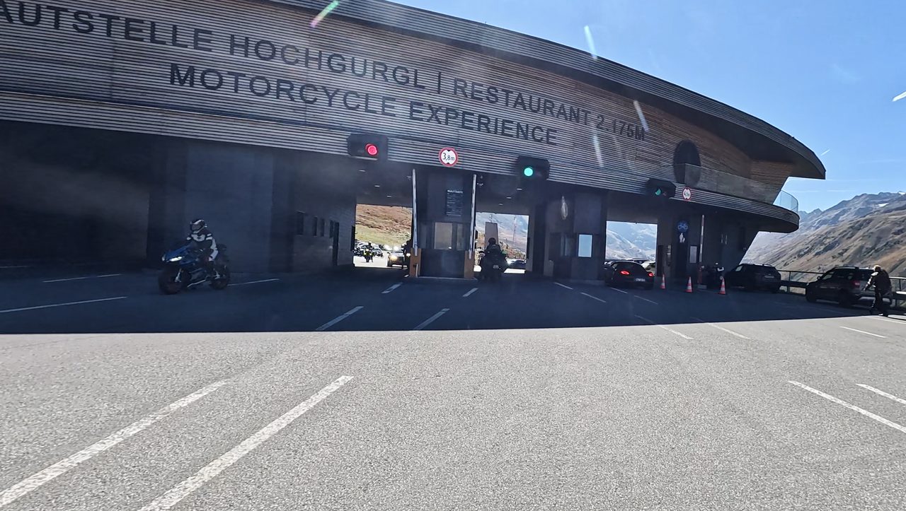
Ärgerlich ist, dass sich etwa 8 Kilometer unterhalb der Passhöhe, auf österreichischer Seite, eine Mautstation befindet. Eine einfache Fahrt mit dem Motorrad, hinunter ins Ötztal kostet mit dem Motorrad 18 Euro (Stand 2025, PKW ab 20 Euro).
Ebenfalls zu erwähnen ist das Motorrad-Museum, dass sich direkt an der Mautstation befindet. Es ist wohl das höchste Motorrad-Museum und absolut sehenswert.
Videos
Vorgeschlagene Videos (Pässe in der Nähe)
| Land | Österreich |
| Region | Tirol |
| Koordinaten | 46.90530000, 11.09750000 |
| Scheitelhöhe | 2474 m |
| Max. Steigung | |
| Mautstraße | Nein |
| Straßenbelag | Asphalt |
| Stichstraße | Nein |
| Länge | 41 Km |
| Fahrzeit | Normal |
| Strecke | Obergurgl St. Leonhard in Passeier |
 Mäßig bewölkt, 16.4°C
Zurück zum Hotel