

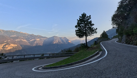





Glaspass | 1846 METER | Thusis Thusis
The Glas Pass | 1,846 metres is an idyllic, little-known Alpine pass in the canton of Graubünden in Switzerland. It is situated near the striking Piz Beverin and historically connects Thusis and the Heinzenberg (Domleschg) with the remote Safiental valley.
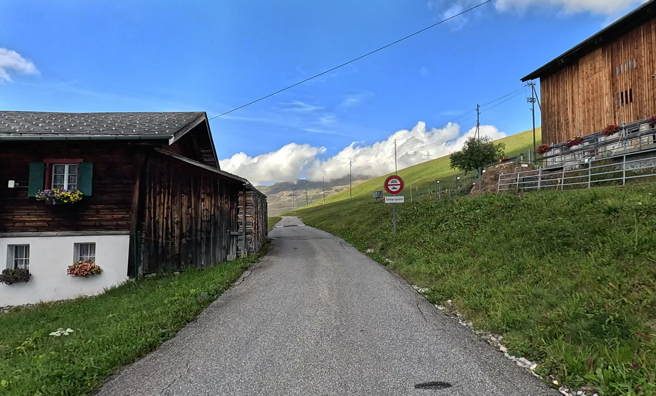
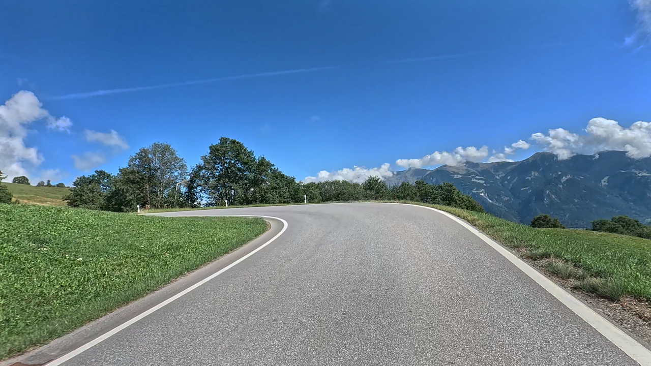
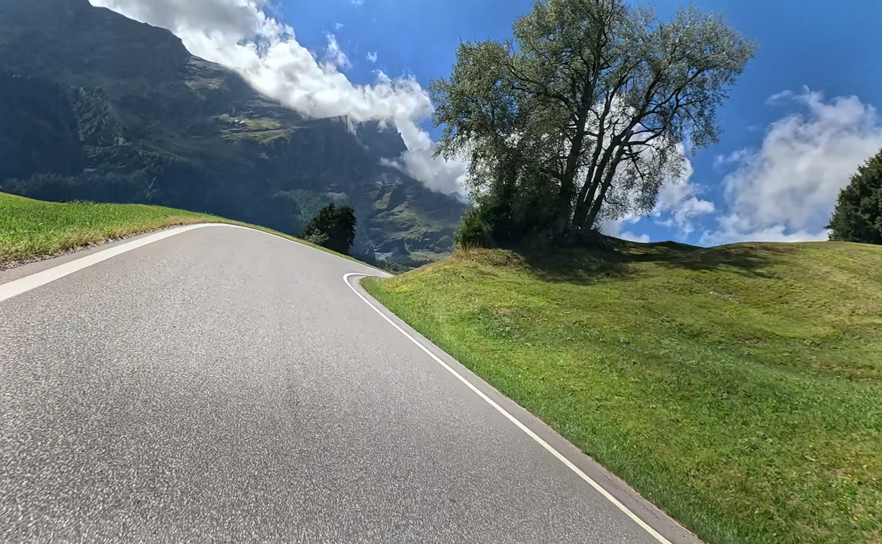
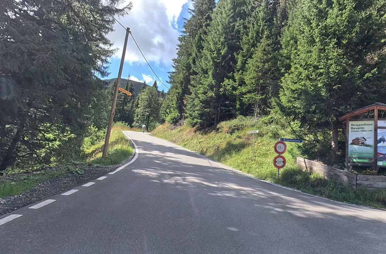
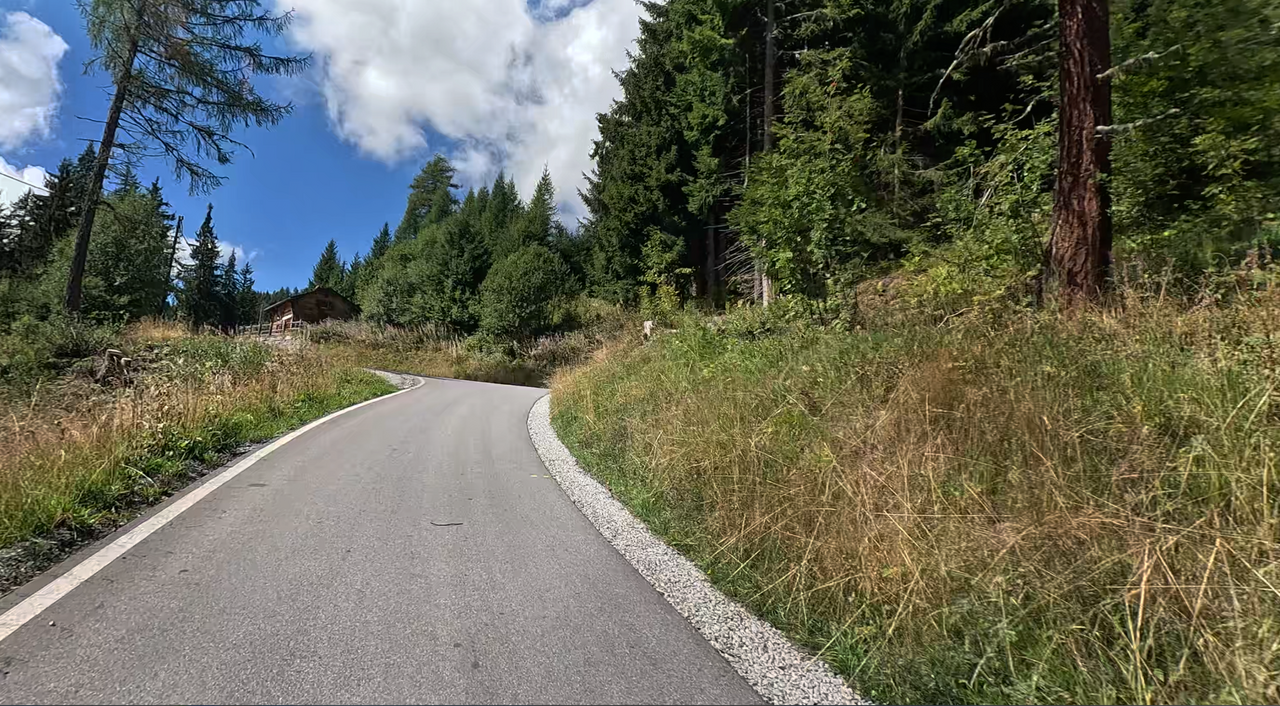
The route, which is around 15 kilometres long, involves a climb of a good 1,100 metres. The road is winding, but with generous bends and well-surfaced. For the final few kilometres, the road narrows to almost a single lane.
A large section of the eastern approach runs alongside extensive pastures, offering unobstructed views down into the Thusis valley – a picturesque and charming landscape.
The pass summit, approached from the east via Thusis, is also the final point for motorised vehicles. From here on, only local residents, cyclists and hikers are permitted. In any case, shortly after the pass summit, the road becomes a hiking trail only.
Anyone wishing to enjoy a few kilometres of winding roads without traffic should definitely plan a detour to the pass summit.
Tip: Incidentally, there is also a well-known inn at the pass summit that serves excellent food.
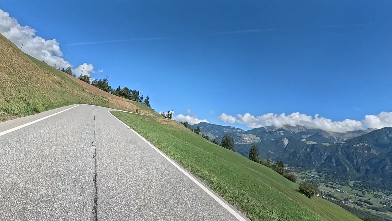
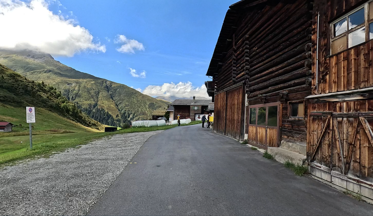
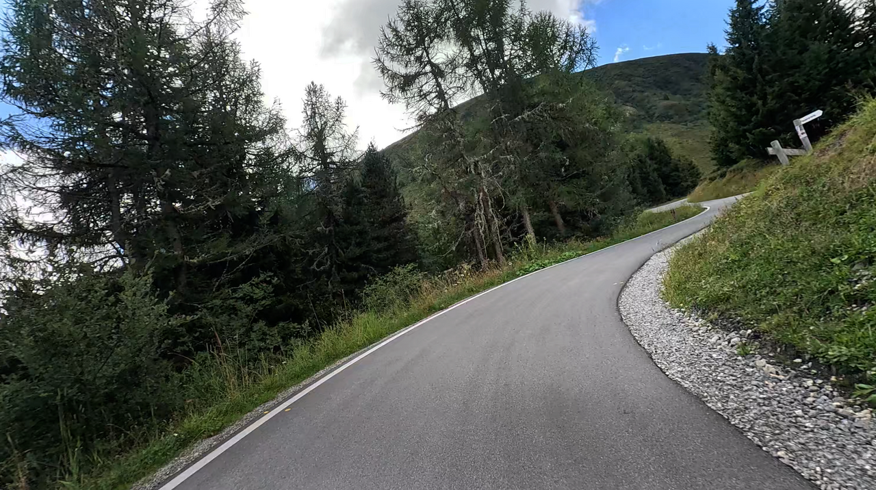
Suggested videos (Passtracks close by)
| Country | Schweiz |
| Region | Graubünden |
| Coordinates | 46.67742400, 9.34925325 |
| Elevation | 1846 m |
| Max. slope | 15 % |
| Toll road | no |
| Road surface | Asphalt |
| Cul-de-sac | yes |
| Length | 30 Km |
| Travel time | Normal |
| Route | Thusis Thusis |
 overcast clouds, 7.8°C
Hotels close by
 Subscribe to Newsletter