

The Passo Muazz, above Lago di Luzzone, offers a break from the traffic – with plenty of bends and a bit of gravel.

1 day ago
The Glas Pass | 1,846 metres – bends, bends, tranquillity and good food.
1 week ago
The Passo del Valparola | 2,192 metres: bizarre, charming, winding, picturesque, steeped in history …
2 weeks ago





Region: Steiermark
Gaberl | 1547 METER | Weißkirchen in der Steiermark Köflach
The Gaberl is a mountain pass and a ski resort in Styria. A steep road leads up to 1551 metres past the Stubalpe and from Köflach into the upper Murtal. On a clear day, the view extends as far as the Dachstein in the northwest and, in the south and east, across Riegersburg to Hungary and Slovenia. To the south of the Gaberl, the Hirscheggersattel, which is about the same height, also connects the Murtal with Köflach.
More images of the pass:
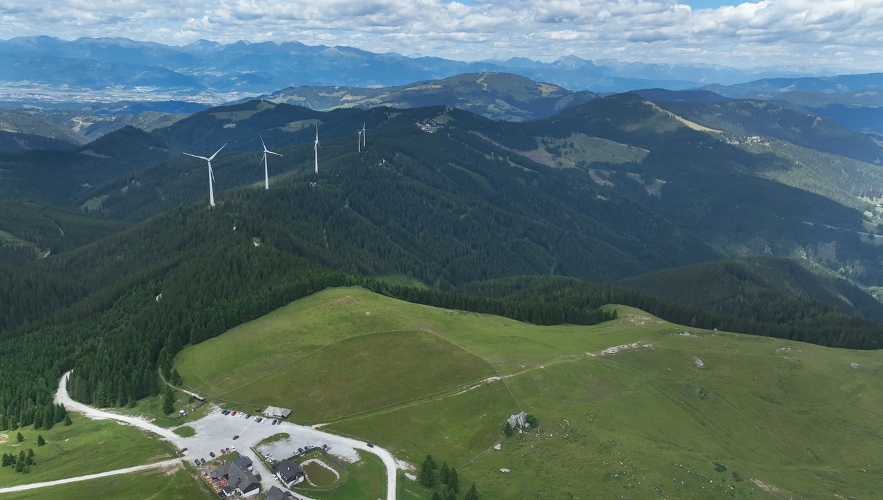
A view of the Alpine ridge, on which the Gaberl Alpine Pass is also situated – from the ‘Altes Almhaus’ Alpine Pass.
A view of the Alpine ridge, on which the Gaberl Alpine Pass is also situated – from the ‘Altes Almhaus’ Alpine Pass.
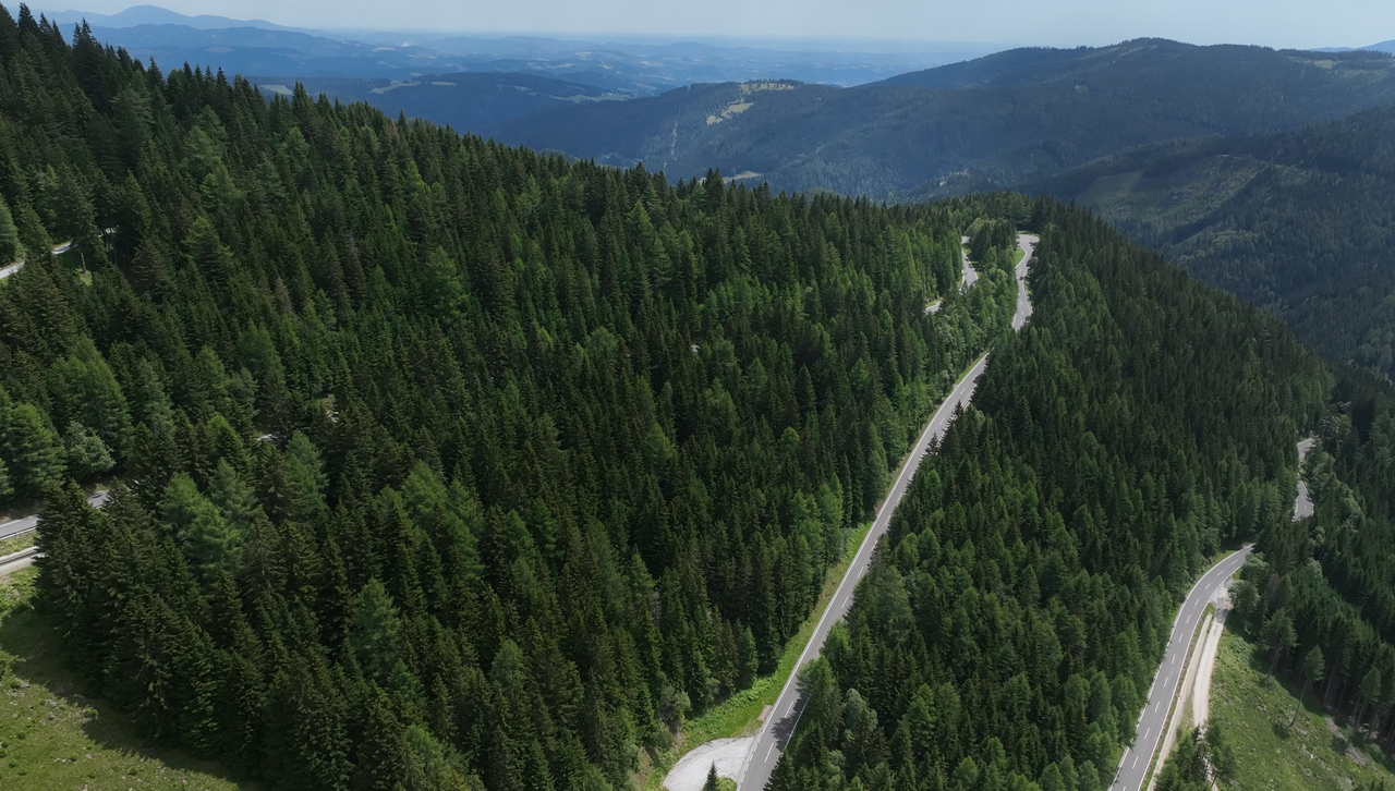
The eastern side of the Gaberl features a number of hairpin bends.
The eastern side of the Gaberl features a number of hairpin bends.
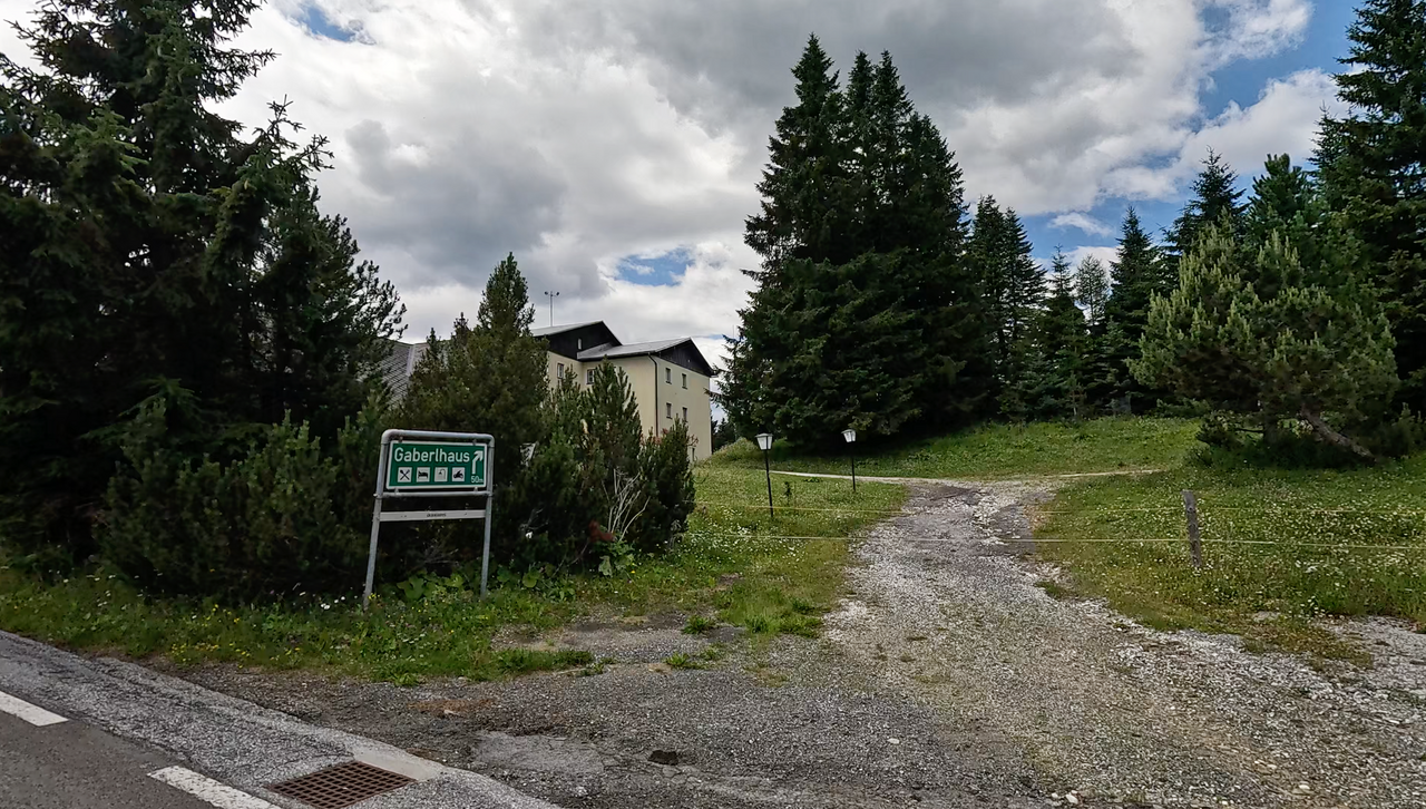
The Gaberlhaus at the top of the pass.
The Gaberlhaus at the top of the pass.
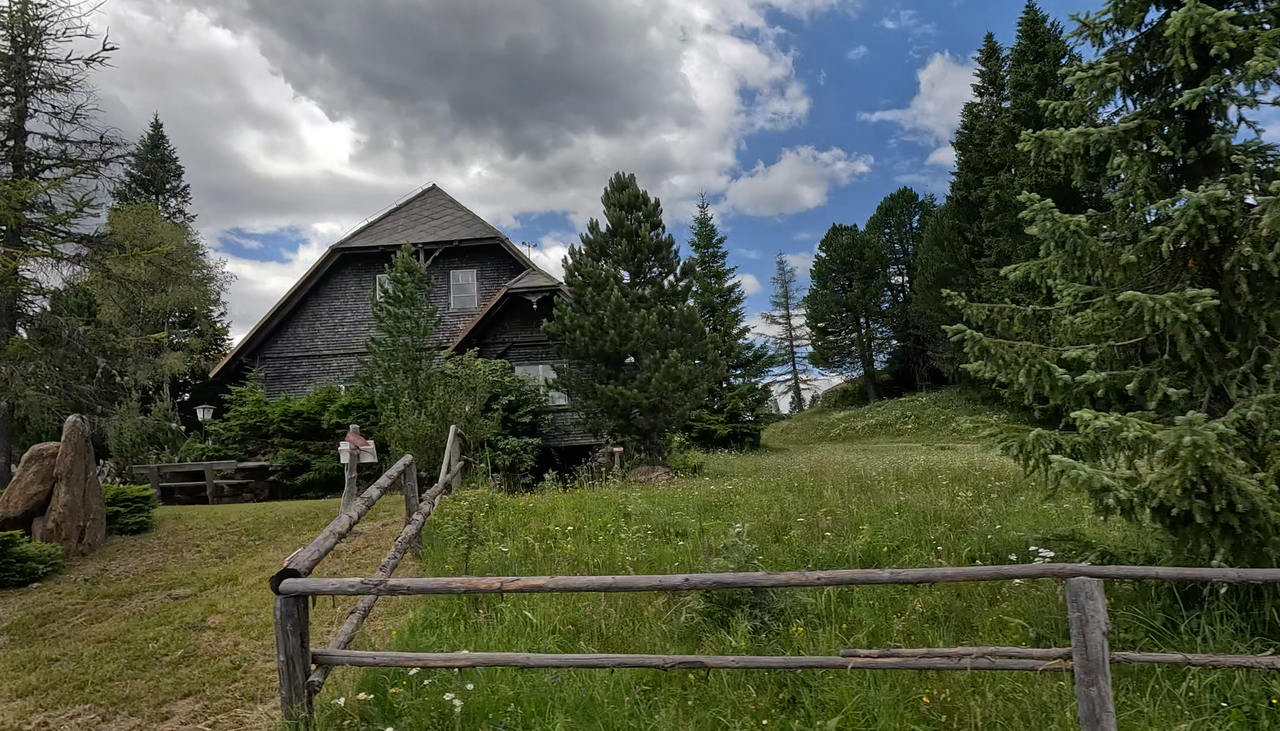
The Gaberlhaus at the top of the pass.
The Gaberlhaus at the top of the pass.
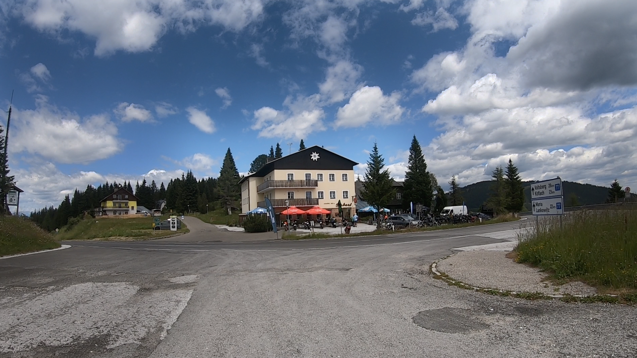
The Gaberl Pass summit – as seen from the approach road to the ‘Altes Almhaus’ Alpine pass.
The Gaberl Pass summit – as seen from the approach road to the ‘Altes Almhaus’ Alpine pass.
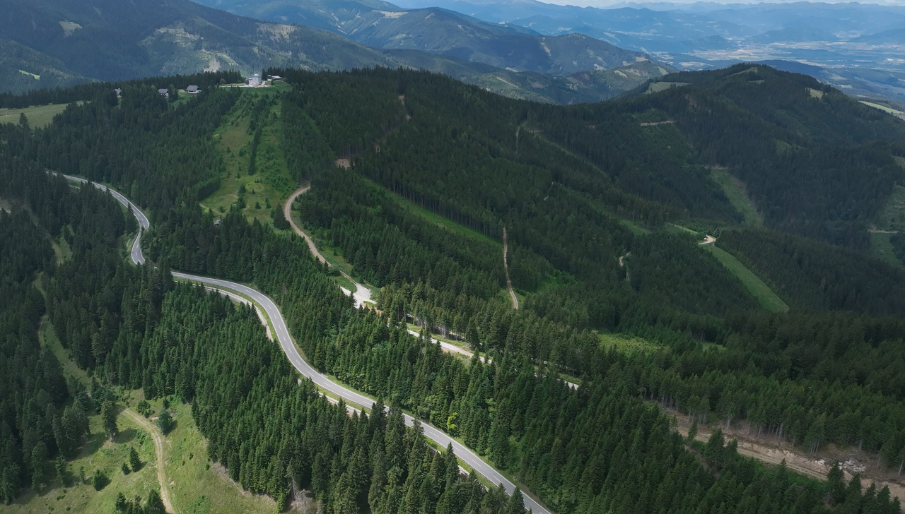
A number of hairpin bends, laid out in a serpentine pattern, characterise the eastern side of the Gaberl.
A number of hairpin bends, laid out in a serpentine pattern, characterise the eastern side of the Gaberl.
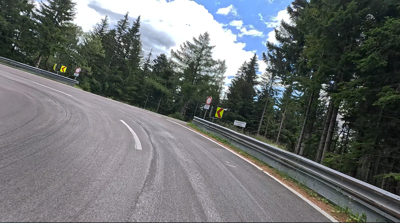
One of the hairpin bends on the eastern side: the Kammkehre at an altitude of 1,360 metres.
One of the hairpin bends on the eastern side: the Kammkehre at an altitude of 1,360 metres.
Passtracks close by:
Altes Almhaus, Obdacher Sattel, Packsattel, Hebalm, Klippitztörl
| Country | Österreich |
| Region | Steiermark |
| Coordinates | 47.10750000, 14.91670000 |
| Elevation | 1547 m |
| Max. slope | |
| Toll road | no |
| Road surface | Asphalt |
| Cul-de-sac | no |
| Length | 41 Km |
| Travel time | Normal |
| Route | Weißkirchen in der Steiermark Köflach |
 overcast clouds, 15.4°C
Back to hotel
 Subscribe to Newsletter