


Col du Galibier | 2642 METER | Col de Lautaret Valloire
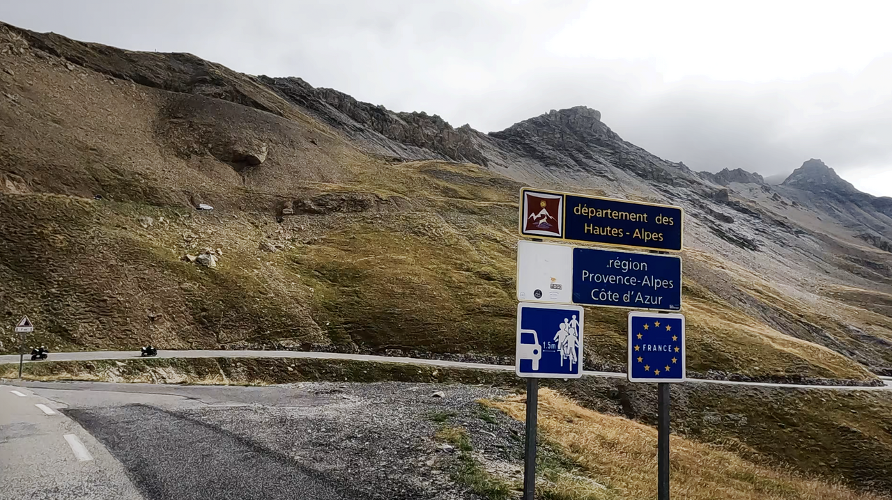
The Col du Galibier, 2,642 metres high, is an Alpine pass in the French Alps, the Western Alps. The Col du Galibier connects the Rhône-Alpes region in the north and Provence-Alpes-Côte d'Azur in the south.
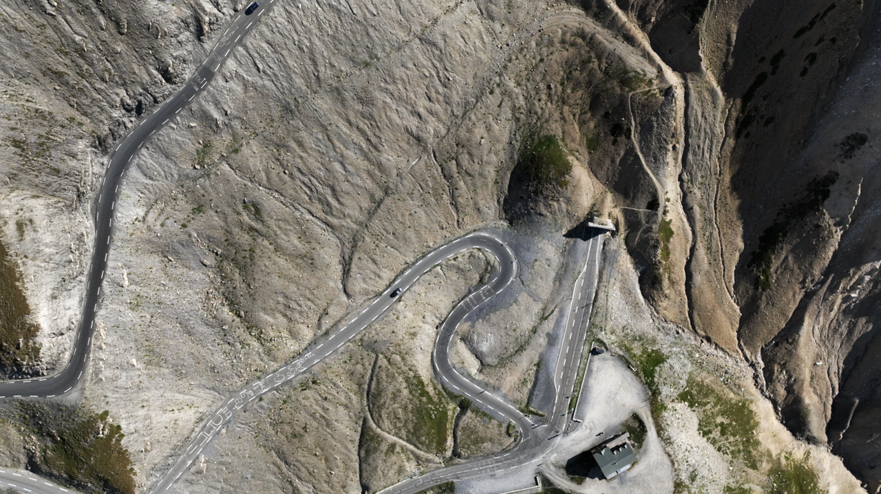
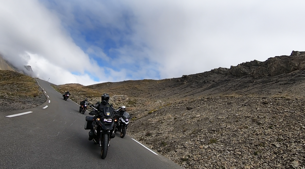
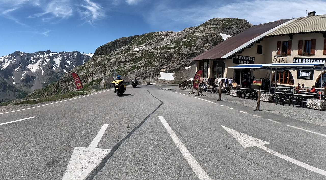
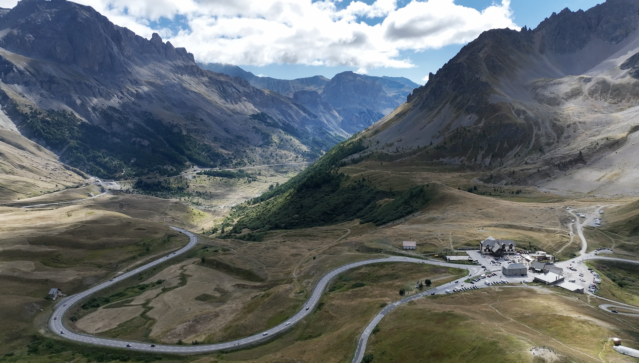
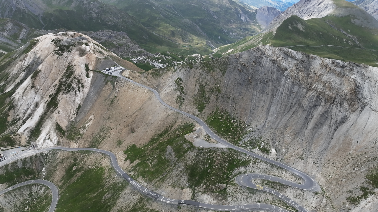
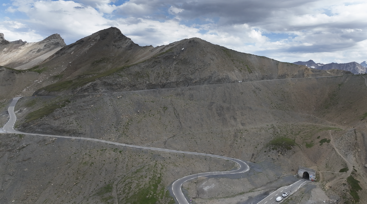
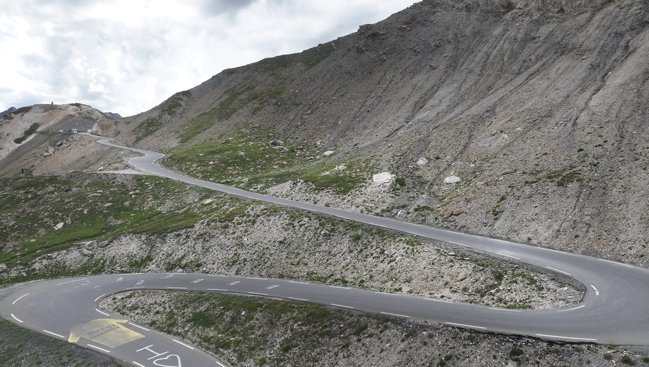
It is the fifth highest Alpine pass and one of the most spectacular. A road over the Col du Galibier was built as early as 1876 in the 19th century. However, as the last few kilometres over the pass are steep and winding, work began on building a tunnel through the mountain ridge just a few years later.
Although the tunnel is only 350 metres long, it makes the crossing much easier. Today, the passage up from the tunnel is reserved for vehicles under 3.5 tonnes. The tunnel is single-lane and traffic is regulated by traffic lights.
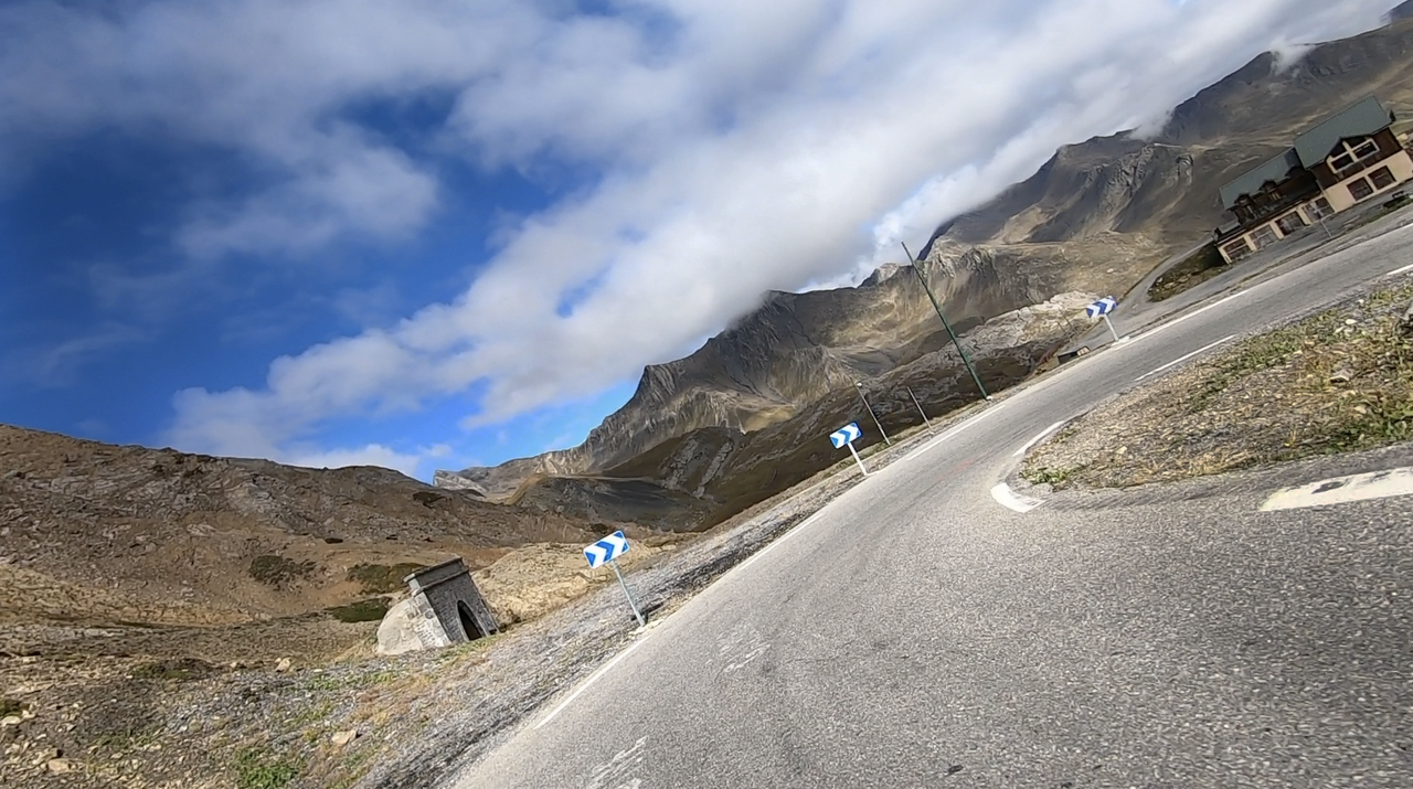
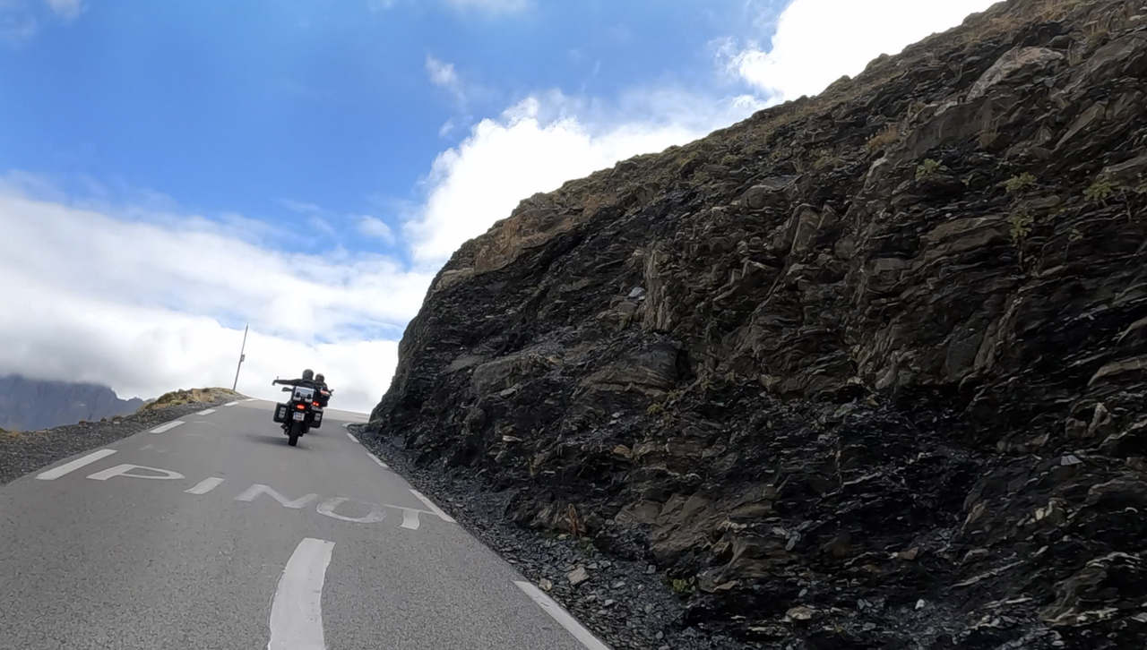
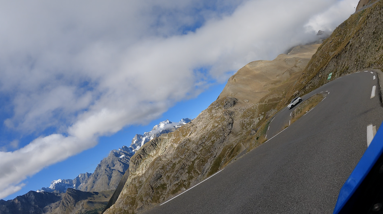
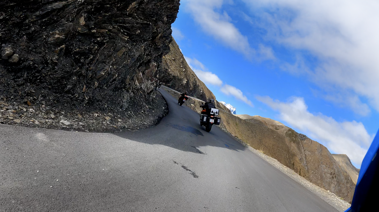
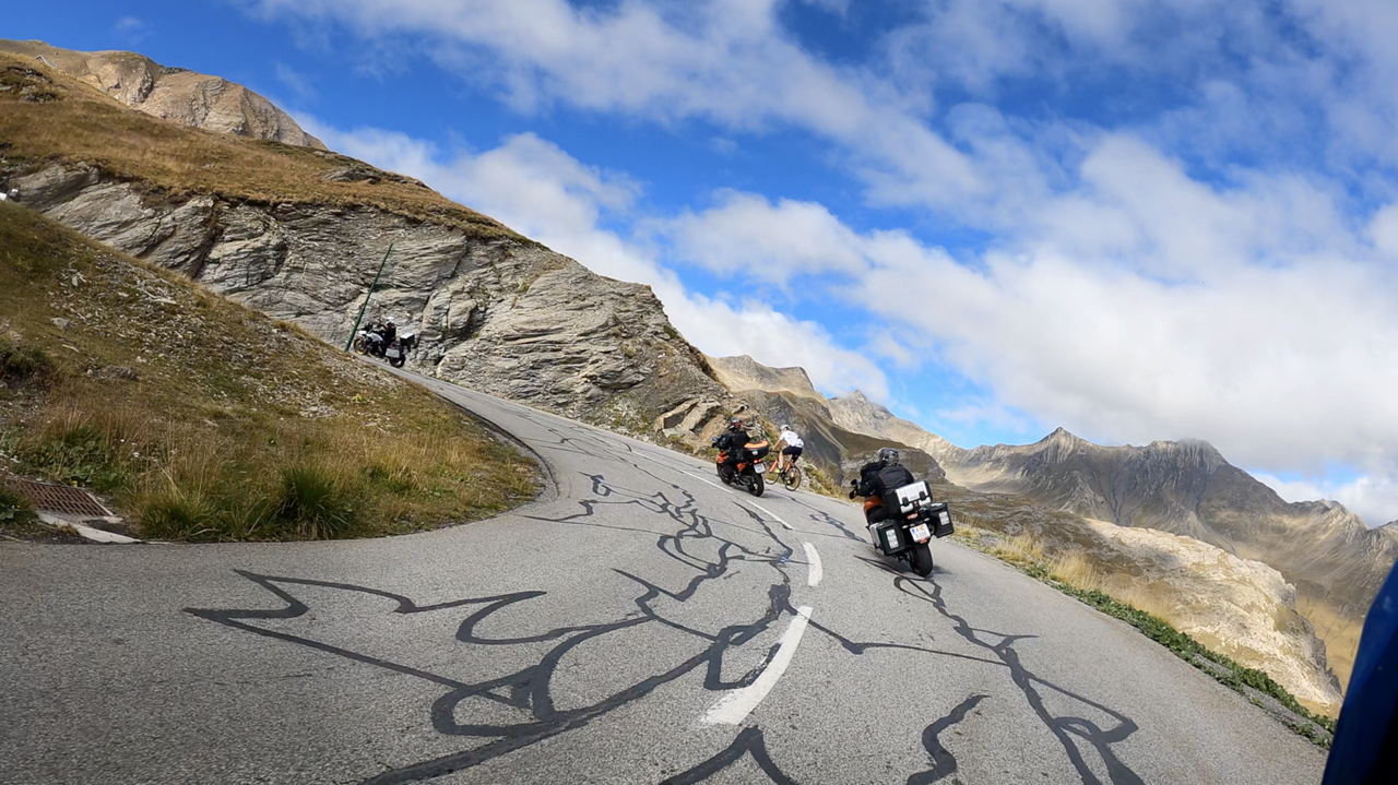
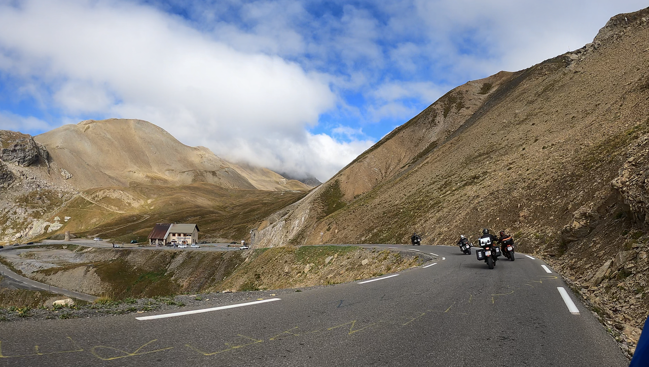
Both ramps are extremely exciting to drive. The ascent via the south ramp is via the Col du Lautaret, 2058 metres high, which is winding and, from the tunnel onwards, also steep and narrow.
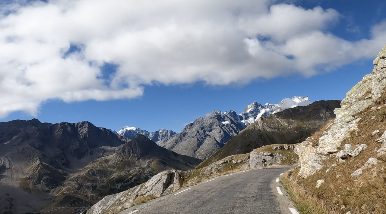
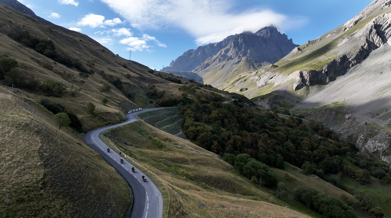
The ascent via the north ramp is considerably longer and offers spectacular views right from the starting point in Valloire. The route is also winding, and from the tunnel onwards it is narrow, confusing and steep – a dream for drivers who love curves.
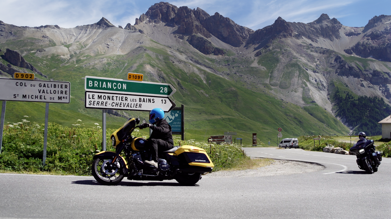
In terms of ‘views’, however, the south ramp is in no way inferior. The view down to Serre Chevalier and Briançon is breathtakingly beautiful.
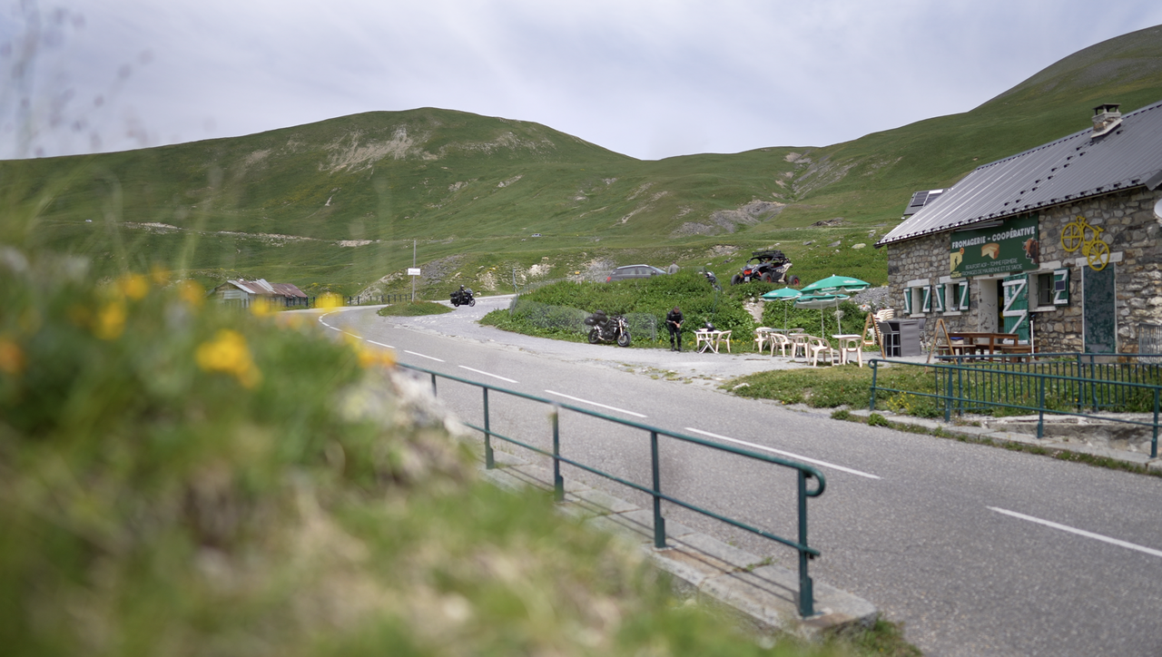
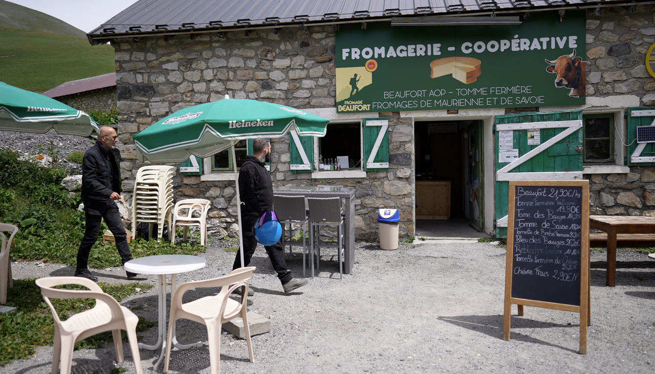
Tip: The alpine hut a few kilometres below the pass on the north side. Here you can find cheese from the region, made from milk from cows that graze at these altitudes.
Planning your own tour? Then take the interactive Alpine Passes Atlas. With GPX data to download and a unique road book for your tour.
You can find motorcycle tour suggestions for the region here...
Videos
Suggested videos (Passtracks close by)
| Country | Frankreich |
| Region | Hautes-Alpes |
| Coordinates | 45.06409870, 6.40773080 |
| Elevation | 2642 m |
| Max. slope | 12 % |
| Toll road | no |
| Road surface | Asphalt |
| Cul-de-sac | no |
| Length | 26 Km |
| Travel time | Normal |
| Route | Col de Lautaret Valloire |
 broken clouds, 4.8°C