


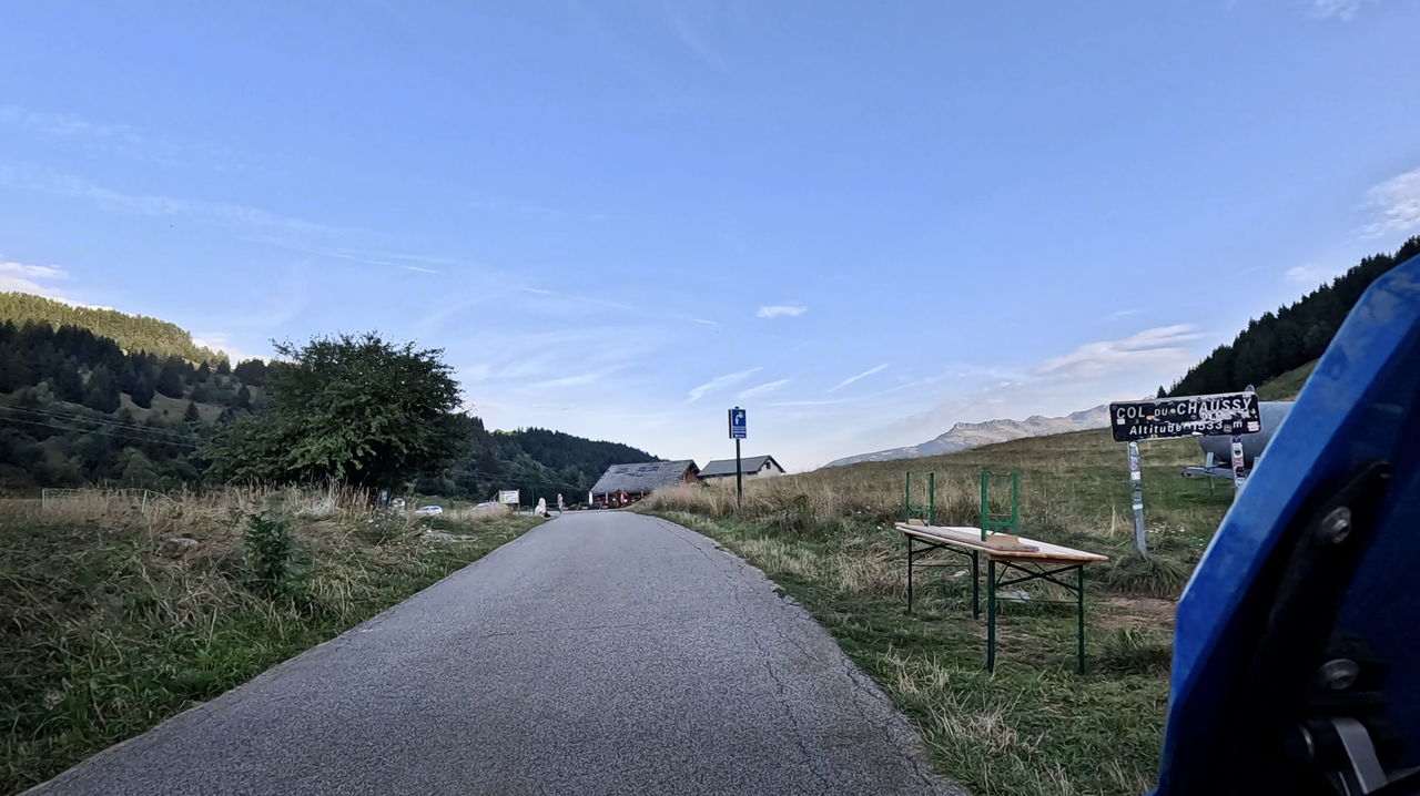
Col du Chaussy | 1533 METER | Pontamafrey La Chambre
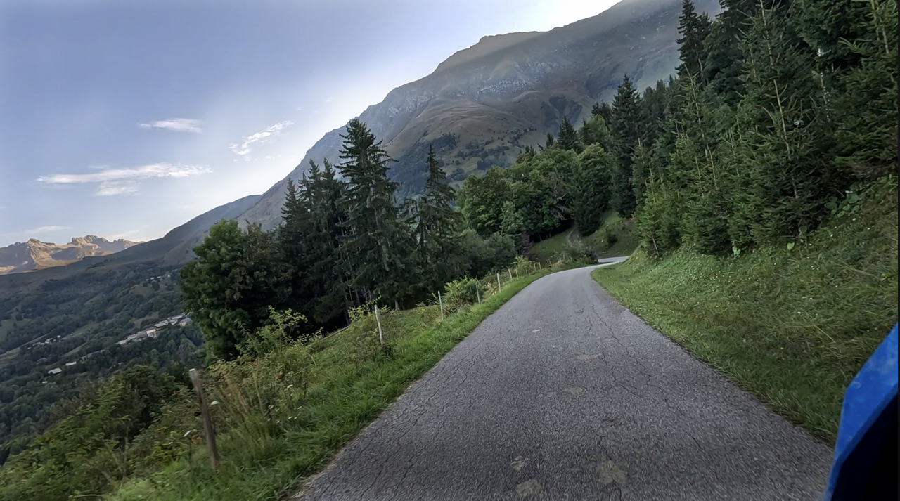
At 1,533 metres above sea level, the Col du Chaussy is not a high Alpine pass in this region, but it does offer a spectacular southern ramp.
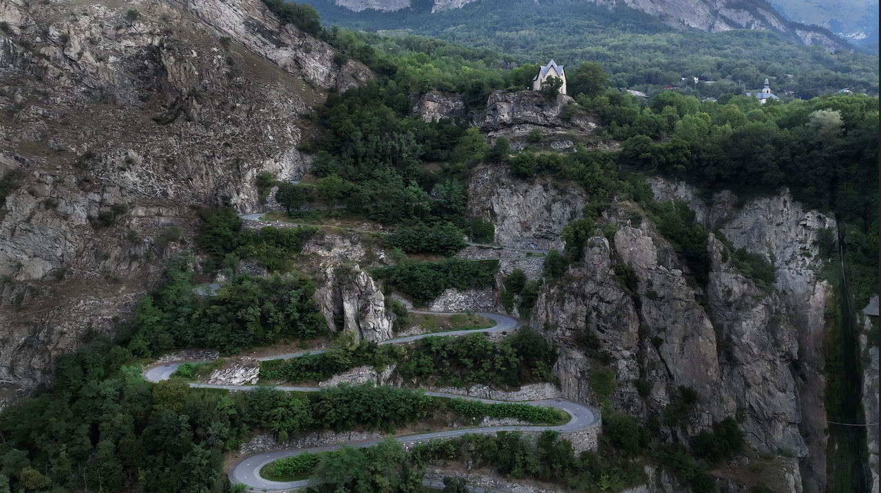
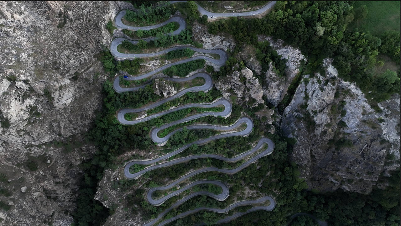
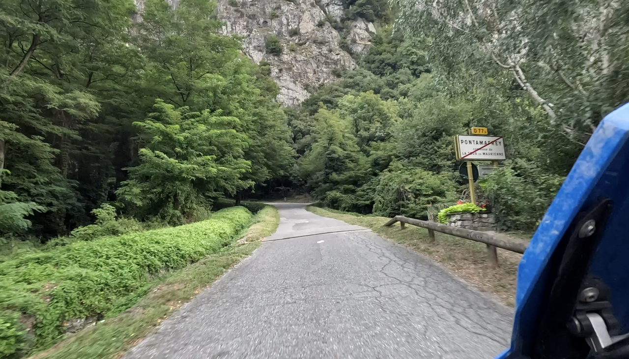
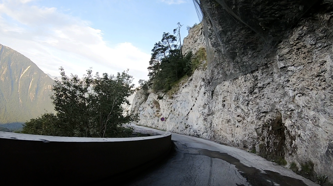
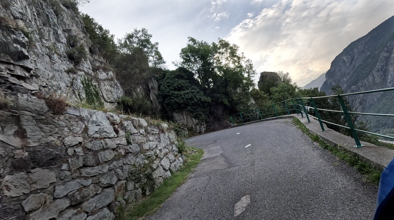
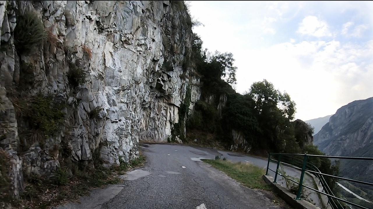
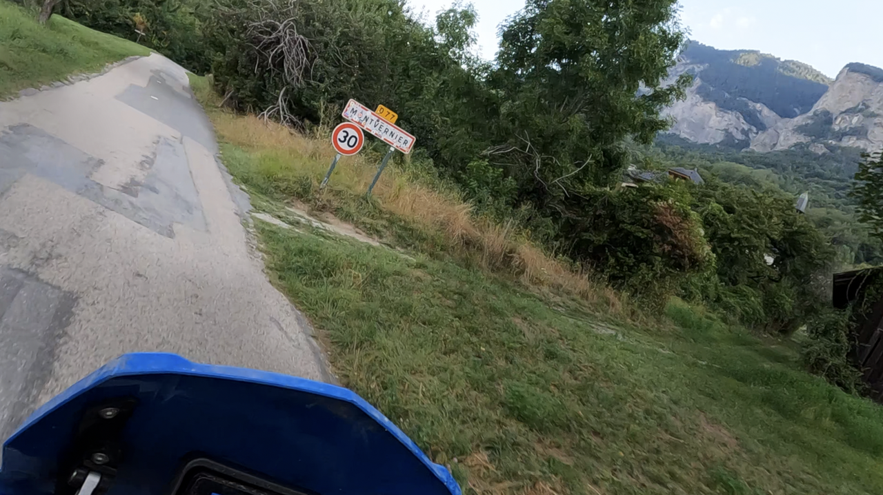
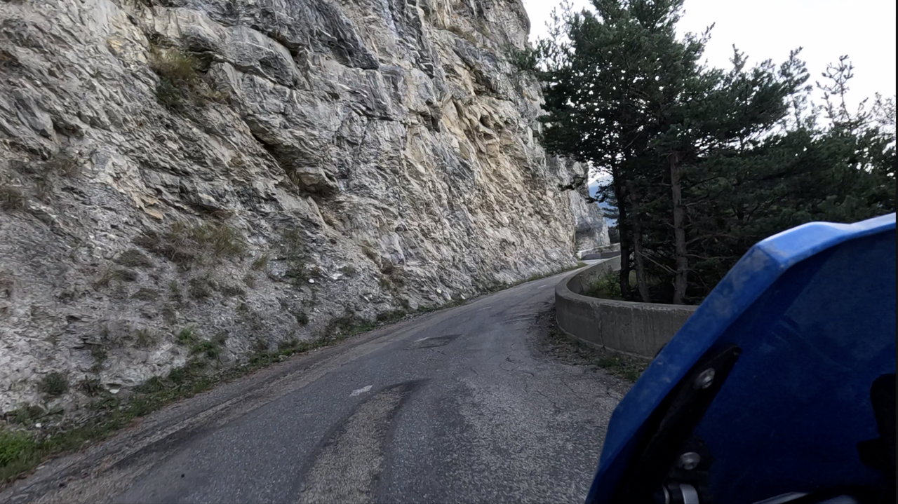
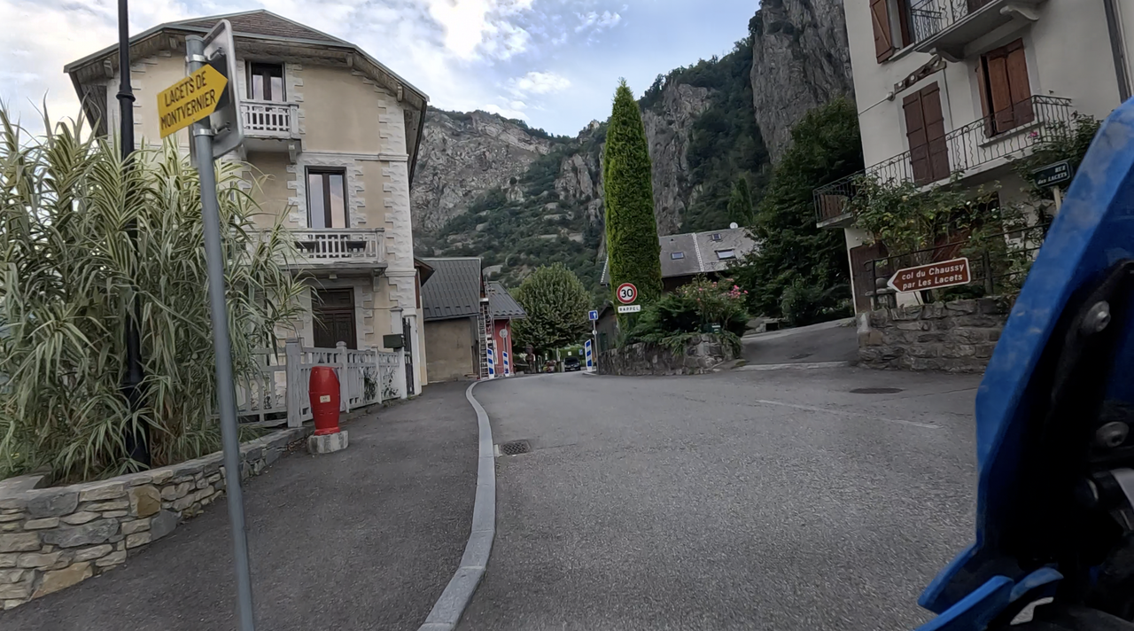
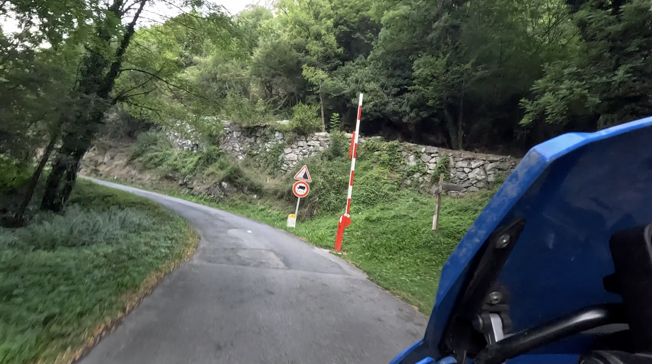
The southern ascent from Pontamafrey, coming from the Maurienne Valley, is a dream for drivers who love hairpin bends, starting shortly after the end of the village at the barrier. The first 3.8 kilometres to Montvernier feature 18 hairpin bends, a narrow road and few roadside barriers. In a short space of time, you have to negotiate an altitude difference of around 250 metres. This section is also known as the Lacets de Montvernier. ‘Lacets’ can be loosely translated as ‘hairpin bends’.
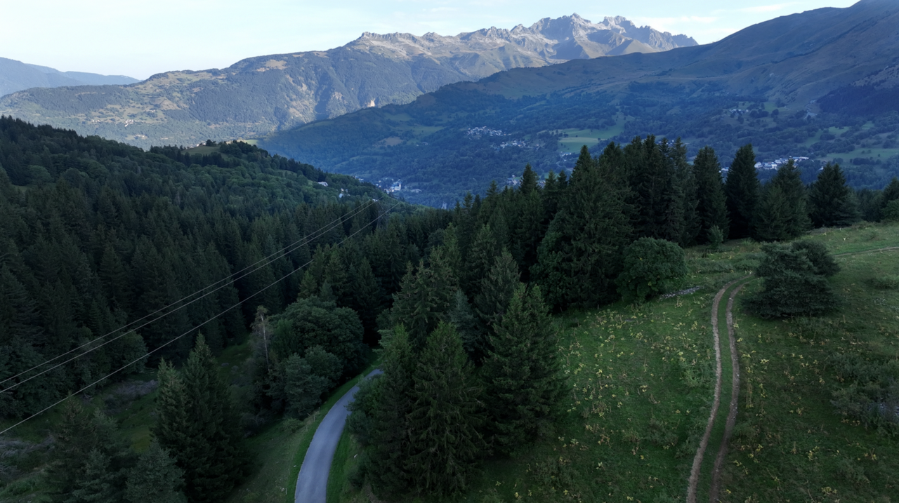
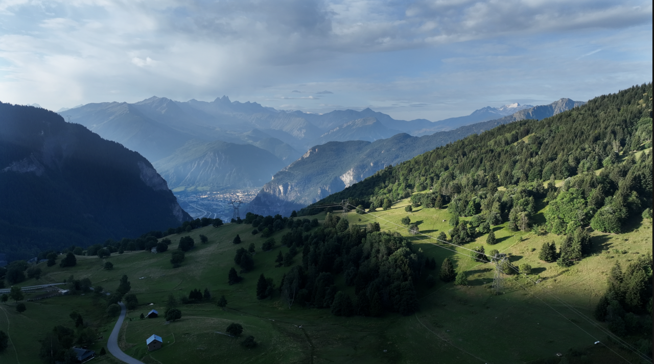
After that, the route continues more leisurely along a high valley before several more, but comparatively unspectacular, bends follow. The pass is a large area with several parking spaces.
There are various options for the descent.
There is a paved road down to La Chambre, back to the Maurienne Valley.
Halfway there is a turnoff for Les Rieux and on to Les Mottes, which leads back to Montvernier if you want to drive the 18 switchbacks again in the other direction. However, most of this road is unpaved from the turnoff.
Finally, there is a road that leads directly to Col de la Madeleine – this route is also gravelled in the further course.
Videos
Suggested videos (Passtracks close by)
| Country | Frankreich |
| Region | Haute-Savoie |
| Coordinates | 45.34305456, 6.35734510 |
| Elevation | 1533 m |
| Max. slope | 14 % |
| Toll road | no |
| Road surface | Asphalt |
| Cul-de-sac | no |
| Length | 29 Km |
| Travel time | Normal to slow |
| Route | Pontamafrey La Chambre |
 clear sky, 27.7°C