Strada dei Cannoni or the Varaita-Maira Ridge Road – off-road driving for connoisseurs.

1 month ago
The ‘Little St Bernard’, 2,188 metres: an Alpine pass set in picturesque countryside and steeped in history.
2 months ago
Colle delle Finestre, 2,176 metres high: gravel or tarmac, sightseeing or thrills?
2 months ago


Anzeige

Anzeige


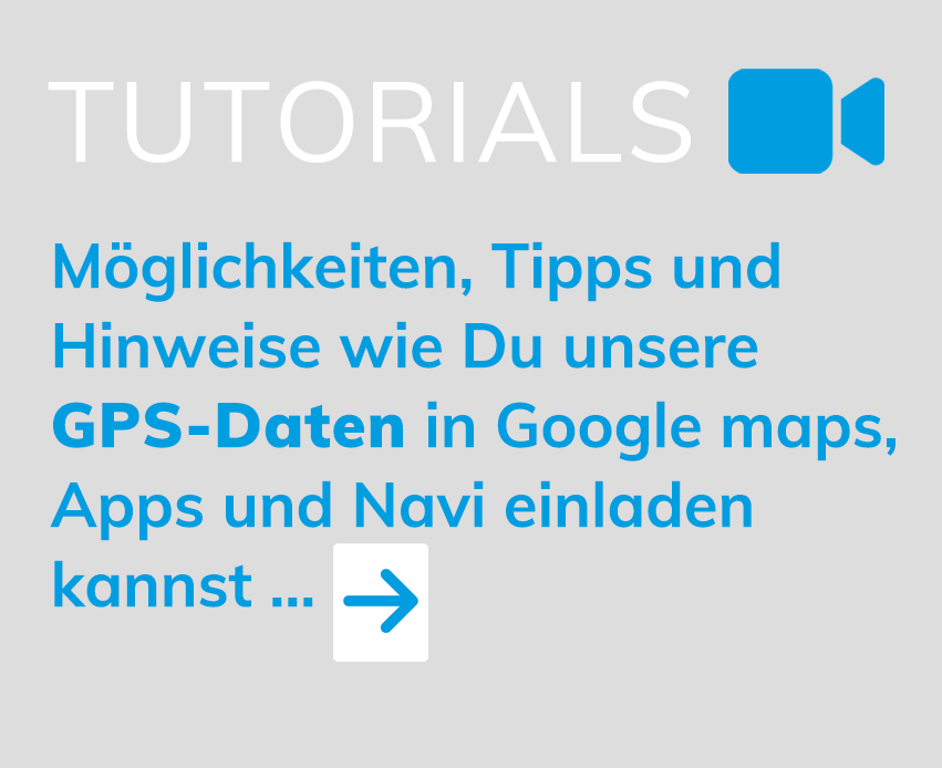
ALPINE PASSES ATLAS GPS DATA IMPORT INTO GOOGLE MAPS, APP AND NAVIGATION DEVICE …
CREATE ALPINE TOURS FROM OVER 450 ALPINE PASSES –
PLAN POIS, PLACES AND HOTELS AND START …
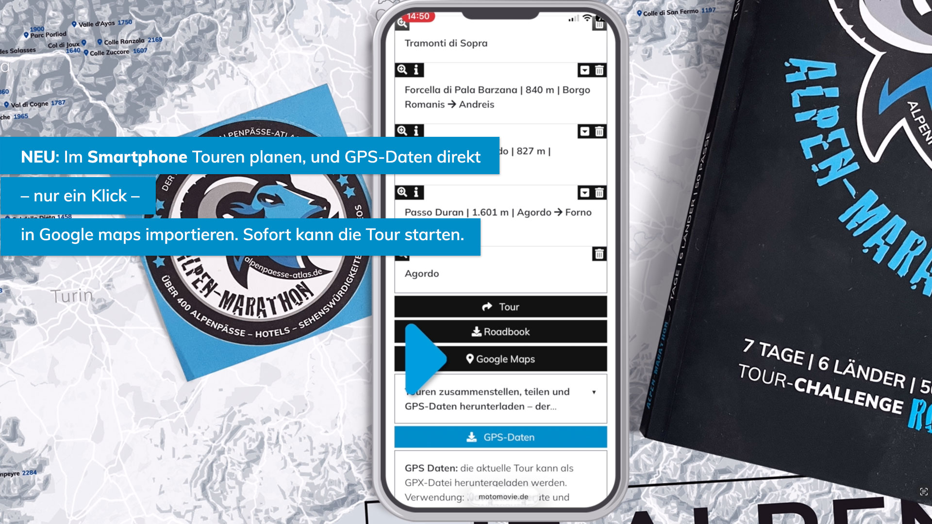
Only on our interactive Alpine Passes Atlas are the Alpine passes displayed so clearly. In addition, there is plenty of additional information about the Alpine passes, as well as videos. We have also added worthwhile sights, which we are constantly updating. However, it is important to us that we have personally visited these places and confirmed that they are worth including as sights or POIs. Hotels and interesting starting and ending points or locations are another service. All in all, this can result in an extraordinary and perhaps memorable tour through the Alps. Once the Alpine Passes Tour is complete, it can be shared via email or newly generated as a PDF to print or save. Of course, the created tour will also remain available until it is deleted. There are various ways to turn the tour from theory into practice. We show some possibilities here – as simple video tutorials.
If you want a tip: For us, the most sensible approach is to load the tour into Google Maps. Even if some people have an aversion to the internet giant, they have the best features, the best live data, and Google Maps is free – together with our information from the Alpine Passes Atlas, it’s a complementary package. But of course, there are plenty of alternatives, such as motorcycle brand apps or good but paid navigation apps. Have fun with our video tutorials on using GPS data.
If you want a tip: For us, the most sensible approach is to load the tour into Google Maps. Even if some people have an aversion to the internet giant, they have the best features, the best live data, and Google Maps is free – together with our information from the Alpine Passes Atlas, it’s a complementary package. But of course, there are plenty of alternatives, such as motorcycle brand apps or good but paid navigation apps. Have fun with our video tutorials on using GPS data.
VIDEO TUTORIALS ON USING GPS DATA
Import GPS data into the BMW Connected app (example for many motorcycle brand apps)
Import GPS data into a navigation device (example)
Anzeige
Anzeige