


Region: Steiermark
Steirischer Seeberg | 1246 METER | Gußwerk St. Pete Klein
The Steirischer Seeberg is a 1246-metre-high mountain pass in Styria, east of the Hochschwab massif and west of the Hohe Veitsch. The pass road leading over the Steirischer Seeberg, the Mariazeller Straße B20, is the most important connection between the Mürztal near Kapfenberg and the place of pilgrimage Mariazell. The small town of Seewiesen is located directly south of the pass, while the village of Gollrad and the Alpine model estate of Brandhof Castle are located to the north.
More images of the pass:
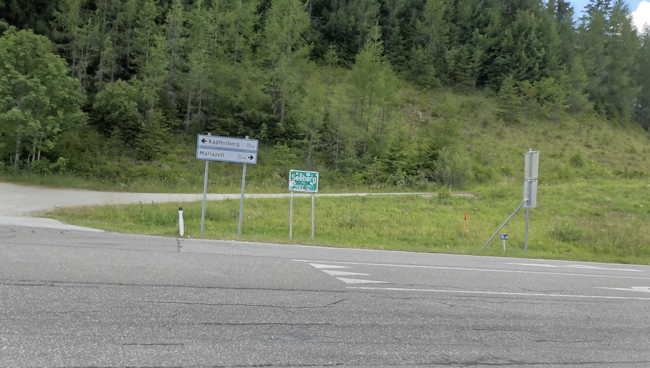
There is a pass sign by the country road – even though the actual pass summit lies a little way off the country road.
There is a pass sign by the country road – even though the actual pass summit lies a little way off the country road.
Passtracks close by:
Niederalpl, Hals, Pretalsattel, Zellerain-Pass, Lahnsattel
| Country | Österreich |
| Region | Steiermark |
| Coordinates | 47.62580000, 15.28250000 |
| Elevation | 1246 m |
| Max. slope | |
| Toll road | no |
| Road surface | Asphalt |
| Cul-de-sac | no |
| Length | 34 Km |
| Travel time | Normal |
| Route | Gußwerk St. Pete Klein |
 overcast clouds, 23.3°C