

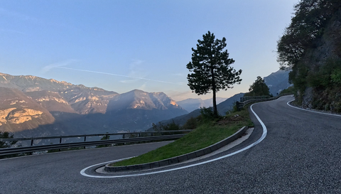





Passo Santa Barbara | 1170 METER | Ronzo-Chienis Arco
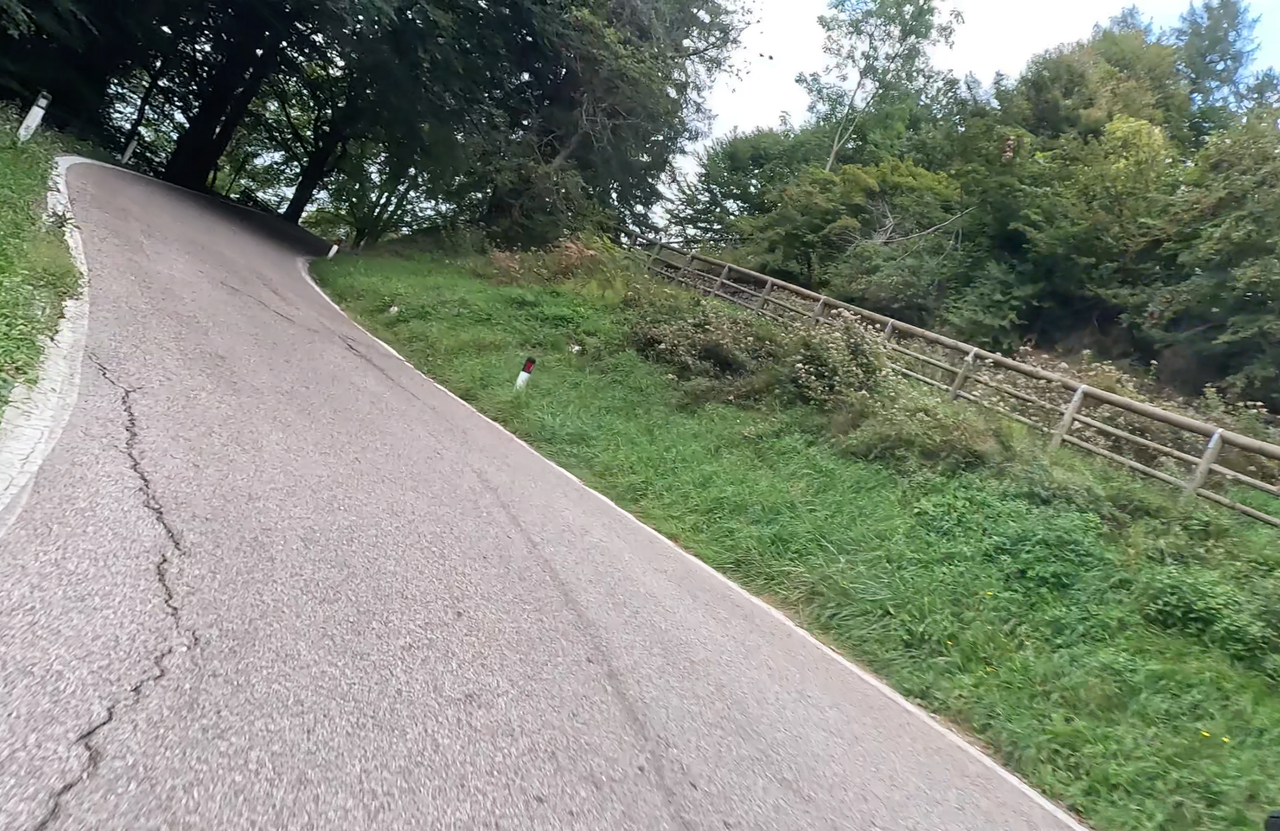
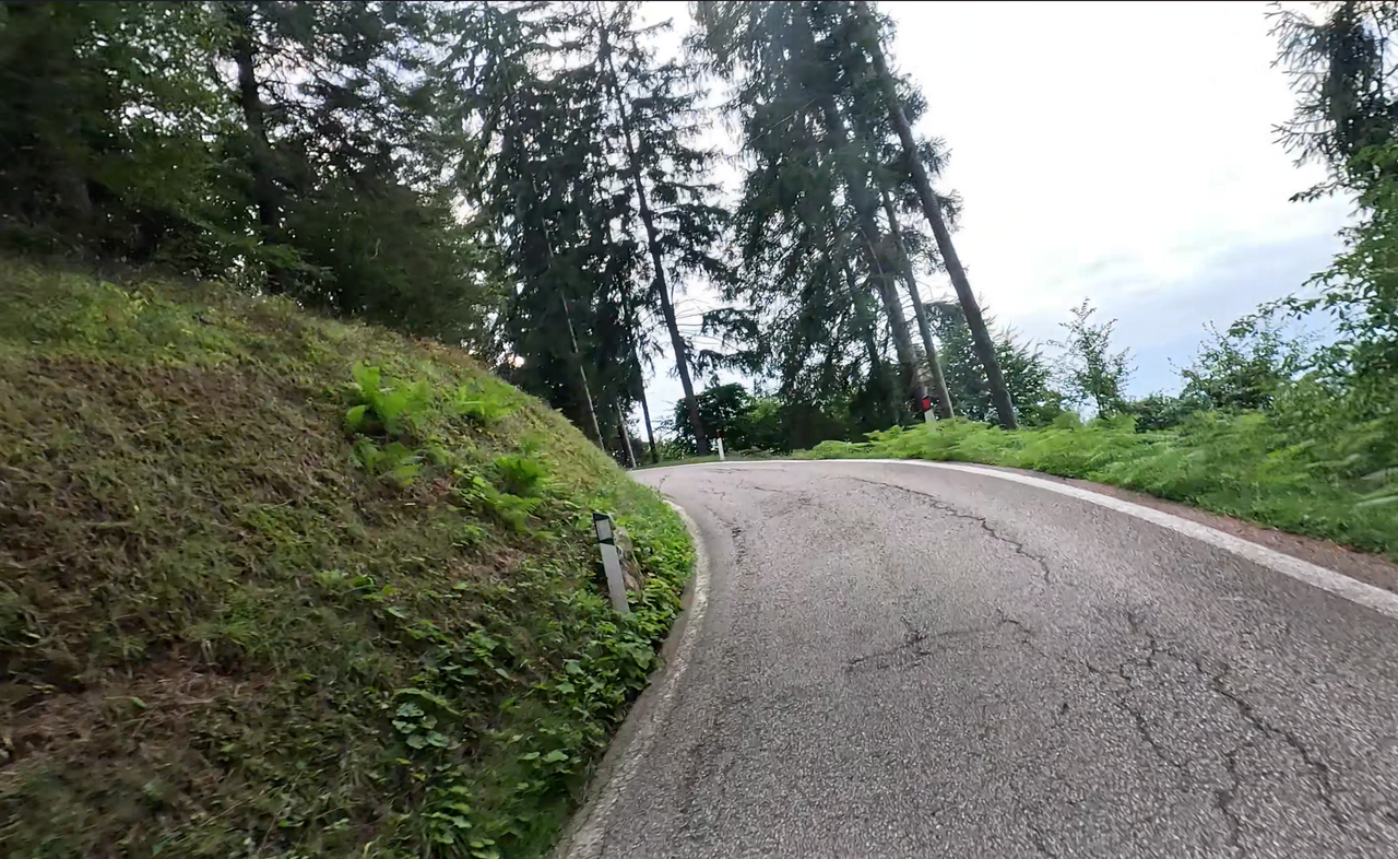
The Passo Santa Barbara, at 1,170 metres, links the Lake Garda valley with the Adige valley. The western approach is the more spectacular route and is particularly well known amongst motorcyclists and cyclists. Starting from the village at the foot of the pass, it features around 30 bends and hairpin bends – with a maximum gradient of up to 15 per cent. The eastern approach is less spectacular and leads down through a number of villages towards the Adige Valley.
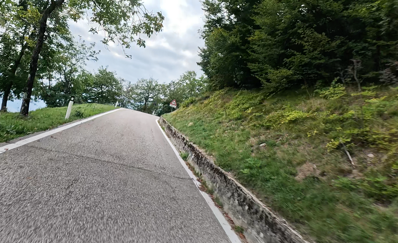
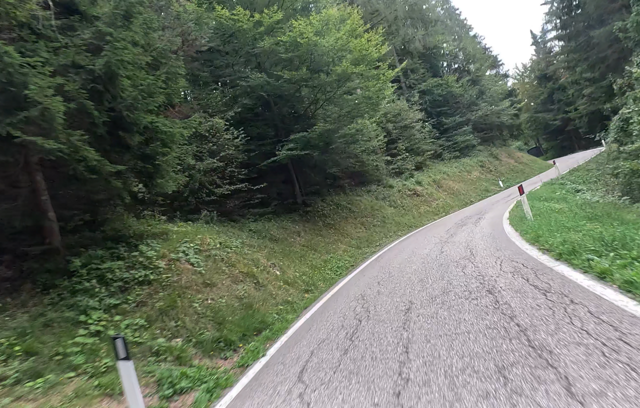
The western ramp is relatively narrow and winds alternately through dense forests and mountain meadows.
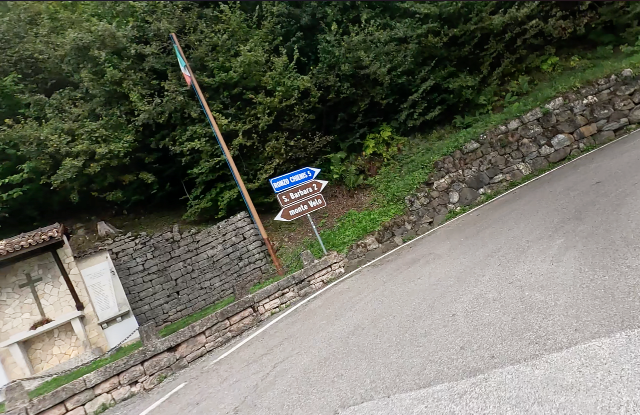
Part of the western ramp is also known as Monte Velo. Until the 1960s, the road was only tarmacked as far as the start of the ridge, at the crest of which lies the Passo Santa Barbara. People used to drive up to Monte Velo.
| Country | Italien |
| Region | Trentino |
| Coordinates | 45.89634965, 10.94007112 |
| Elevation | 1170 m |
| Max. slope | 15 % |
| Toll road | no |
| Road surface | Asphalt |
| Cul-de-sac | no |
| Length | 16 Km |
| Travel time | Normal to slow |
| Route | Ronzo-Chienis Arco |
 broken clouds, 8.1°C
Hotels close by
 Subscribe to Newsletter