

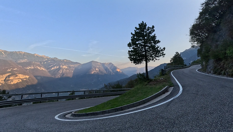





Monte Velo | 1050 METER | Arco Passo Santa Barbara
Monte Velo, at 1,050 metres, is not an Alpine pass in the traditional sense. Rather, it marks the start of the hilltop on which the Passo Santa Barbara, at 1,170 metres, is situated.
Nevertheless, a classic pass sign stands at an altitude of around 1,050 metres. It is situated at the point where the relatively steep ascent from Arco (up to 15 per cent gradient) first levels out into a flat section. When people refer to Monte Velo today, they mean the western approach from Arco towards the Passo Santa Barbara.
The reason for the pass sign lies in history. Until the 1960s, there was still a side road here leading to a cluster of inns, summer villas and sanatoriums – for the residents and tourists of the Arco region.
Then the rest of the pass road was tarmacked and continued via the Passo Santa Barbara to Ronzo-Chienis – down into the Adige valley.
Note: There is no mountain actually called Monte Velo. Rather, the term refers to the entire wooded area of the mountain ridge. The actual mountain towering above everything else is Monte Stivo, 2,059 metres high.
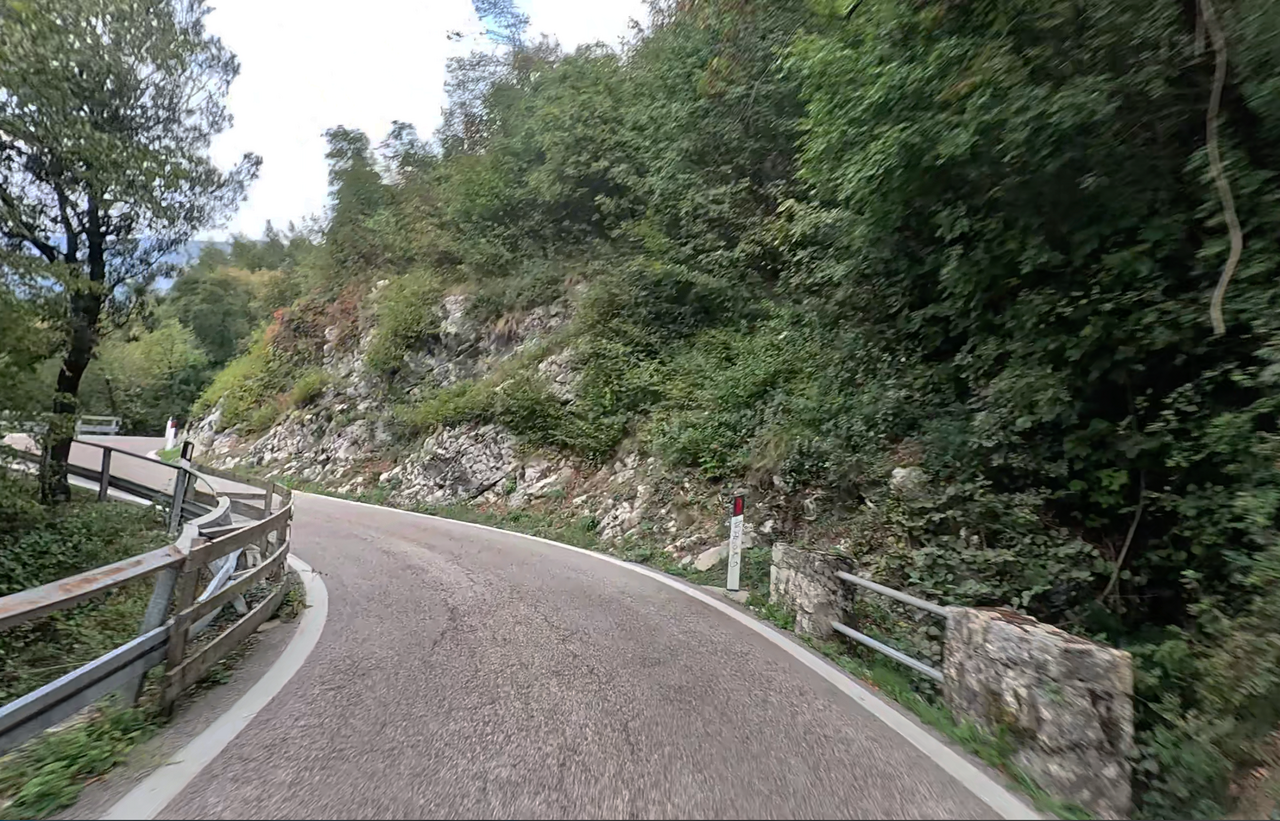
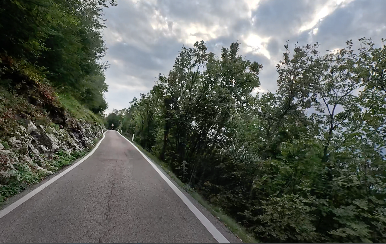
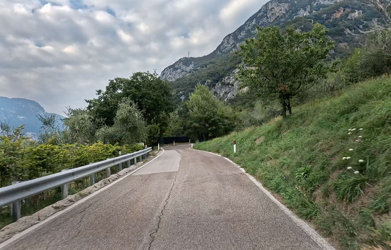
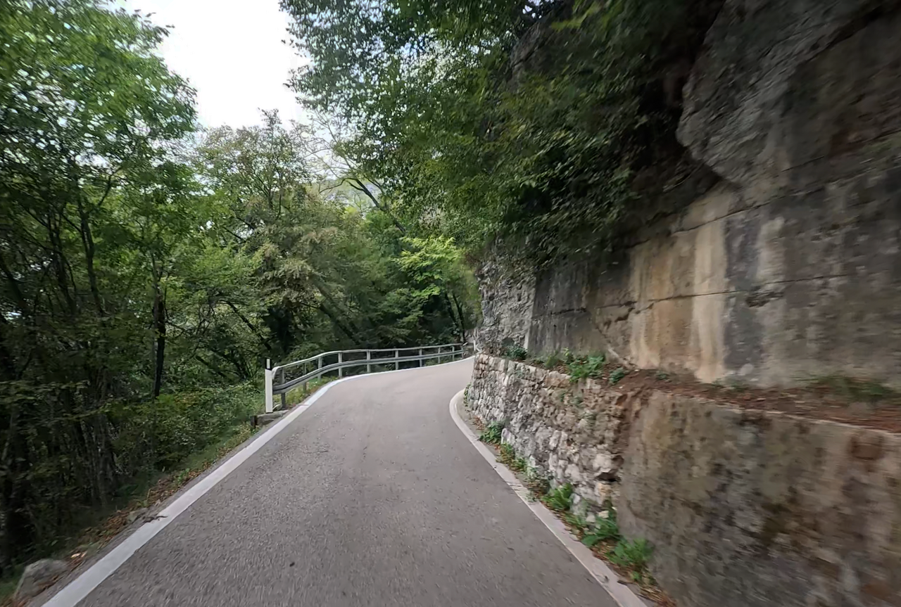
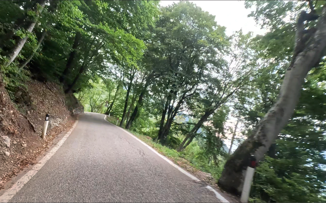
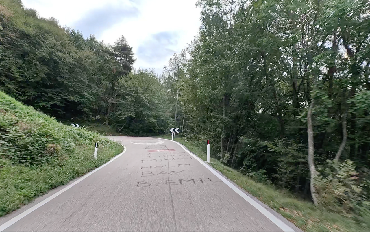
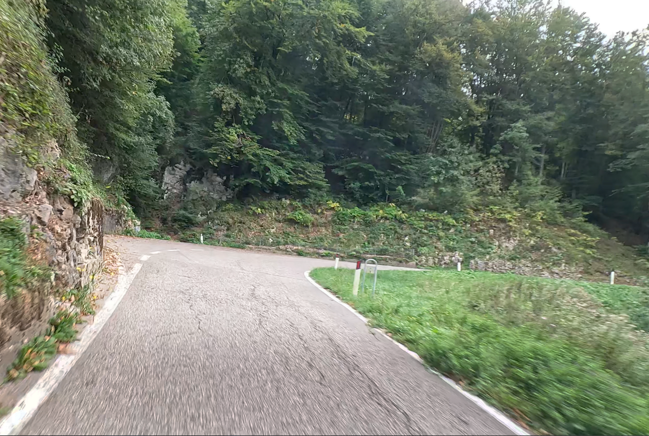
The route from Arco up to Monte Velo and on to the Passo Santa Barbara is a true driver’s paradise. The road is around 12 kilometres long, and as Arco lies at an altitude of just 95 metres, there is a significant climb to tackle. The route features around 30 hairpin bends and curves – with gradients of up to 15 per cent.
| Country | Italien |
| Region | Südtirol |
| Coordinates | 45.90076791, 10.92263729 |
| Elevation | 1050 m |
| Max. slope | 15 % |
| Toll road | no |
| Road surface | Asphalt |
| Cul-de-sac | no |
| Length | 13 Km |
| Travel time | Normal to slow |
| Route | Arco Passo Santa Barbara |
 broken clouds, 9.1°C
 Subscribe to Newsletter