

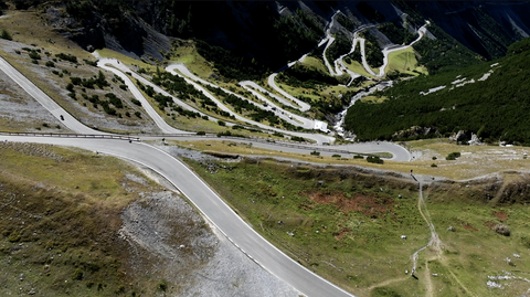





Passo San Marco | 1992 METER | Morbegno Piazza Brembana
The Passo San Marco, at 1,992 metres, is an Alpine pass in the Bergamo Alps, linking Morbegno in the Valtellina with Piazza Brembana in the province of Bergamo. The border between the provinces of Sondrio and Bergamo runs along the summit of the pass.
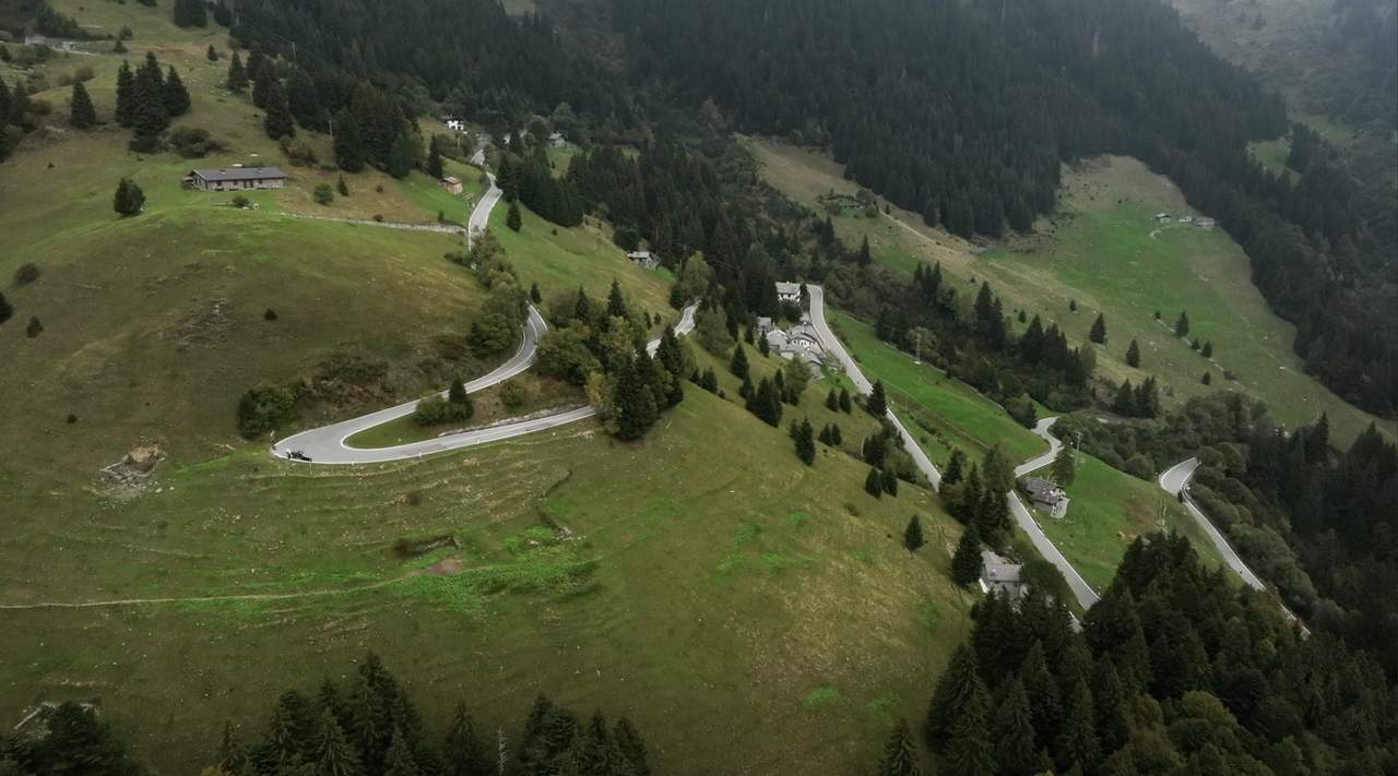
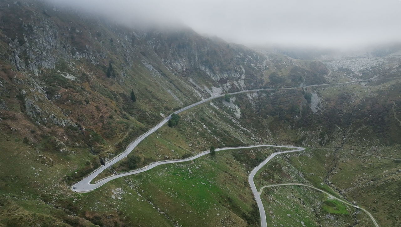
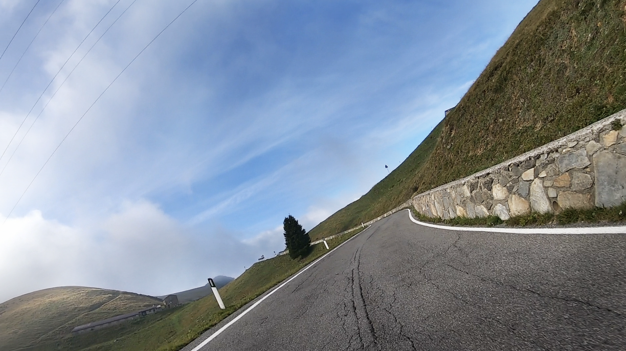
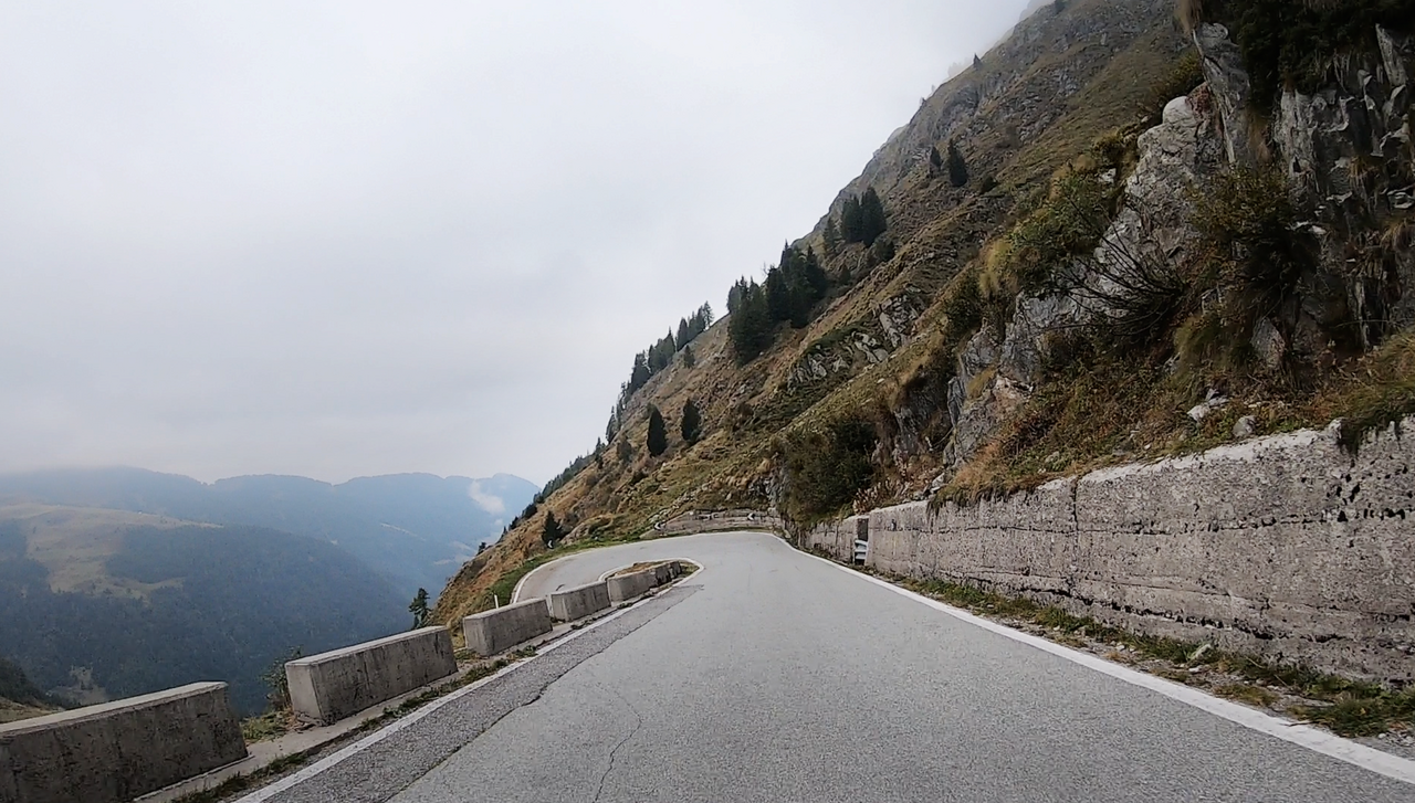
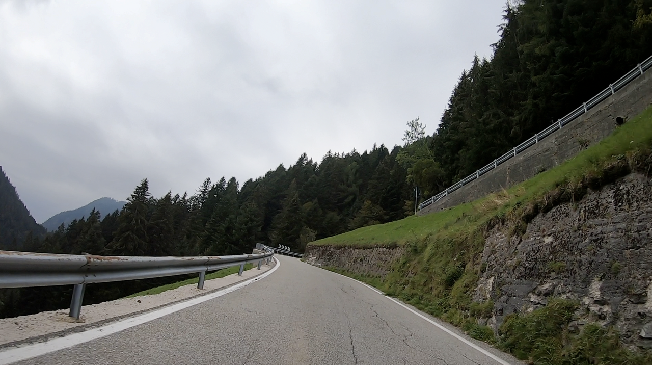
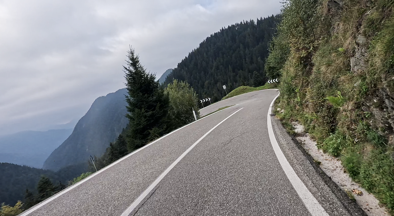
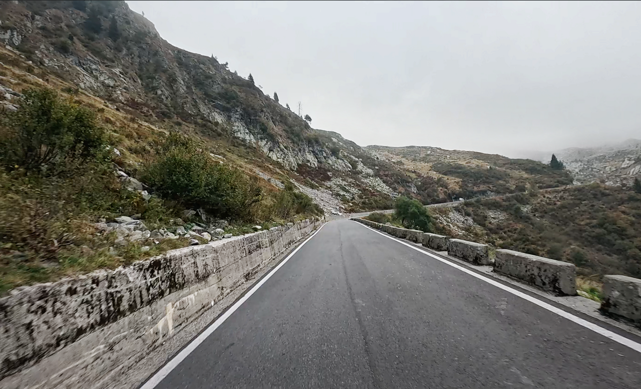
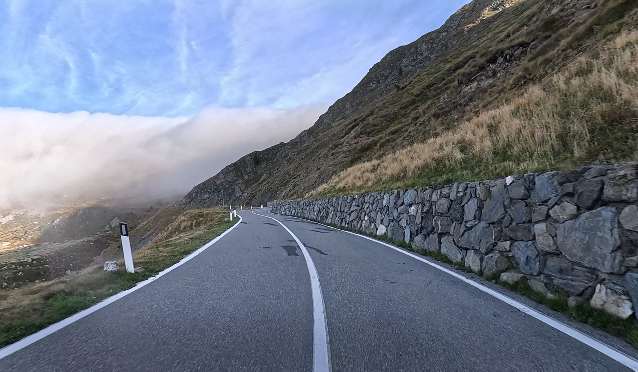
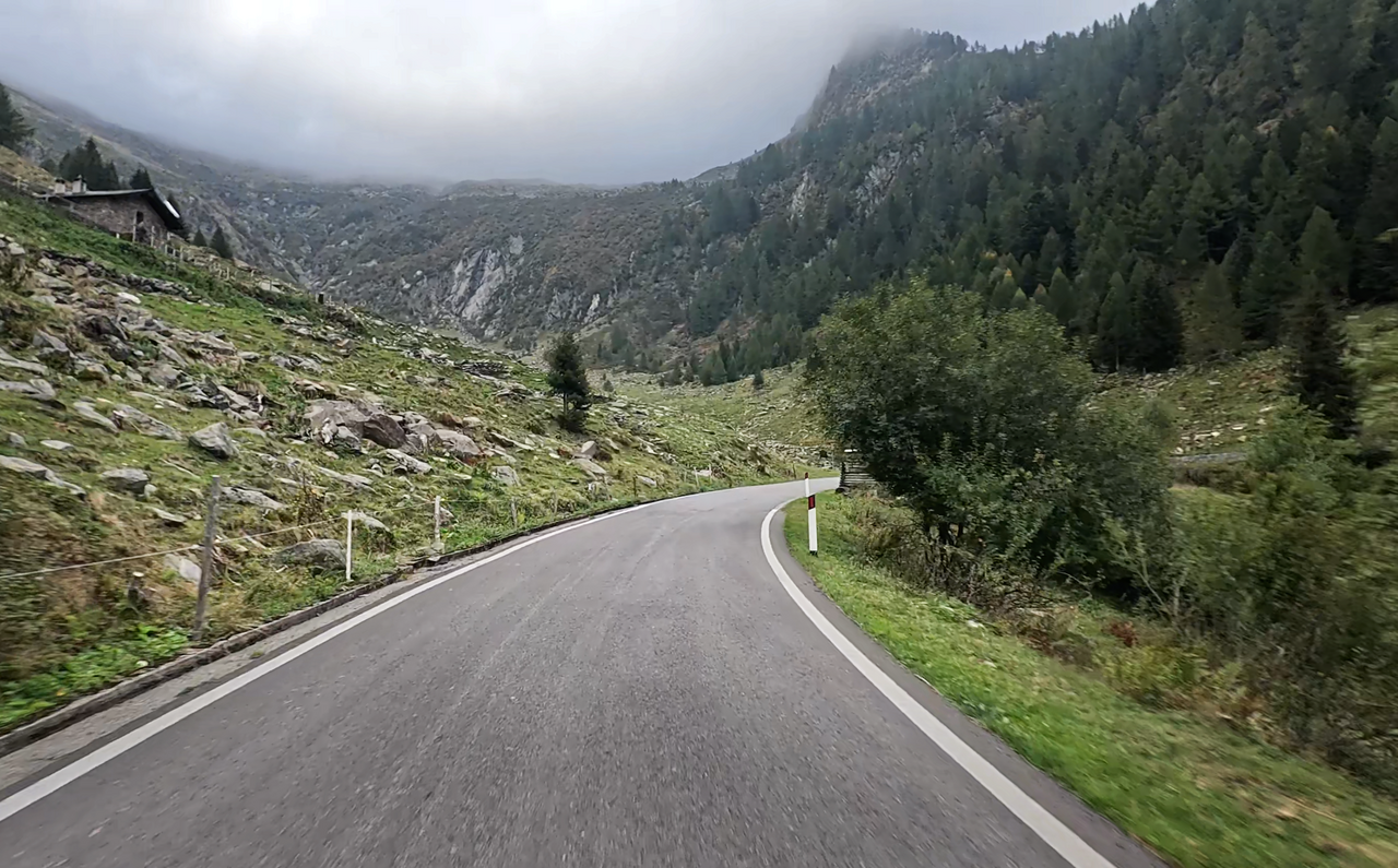
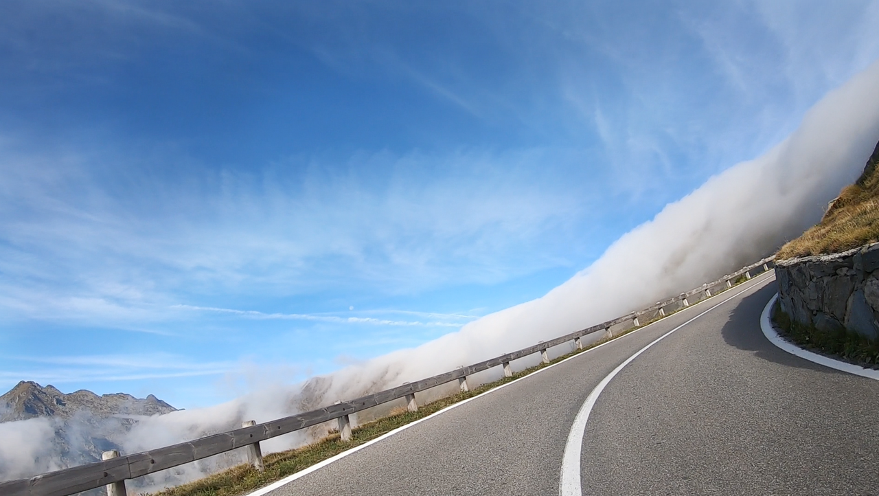
The pass route is just under 50 kilometres long. As such, it offers plenty of varied driving pleasure. Bends, hairpin bends, long straights, woodland, villages and high mountains alternate along the route. In addition, the San Marco Alpine Pass offers some fascinating views, particularly on the southern approach.
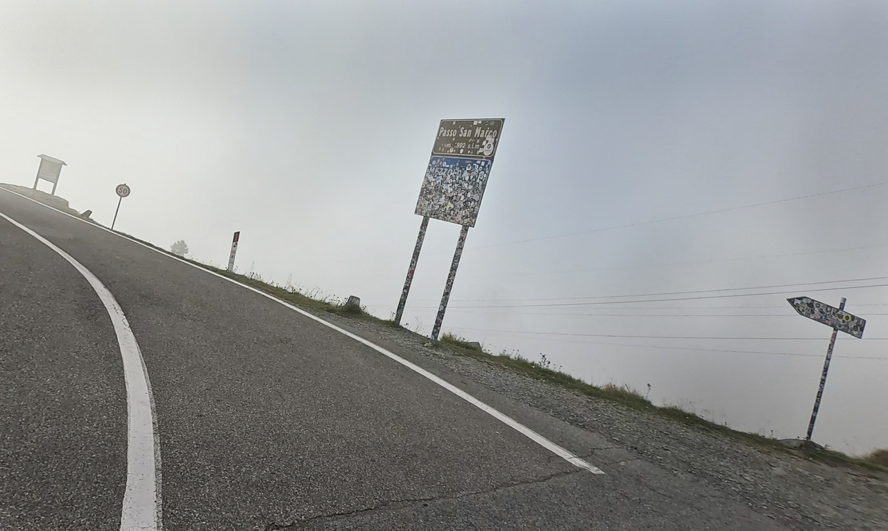
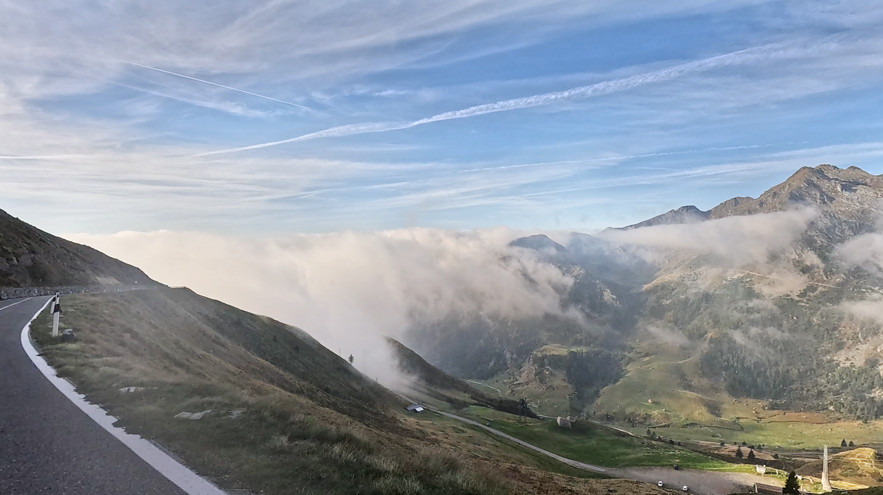
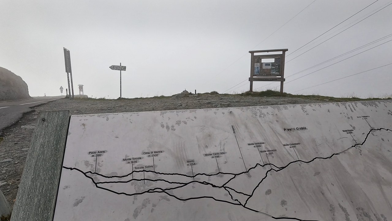
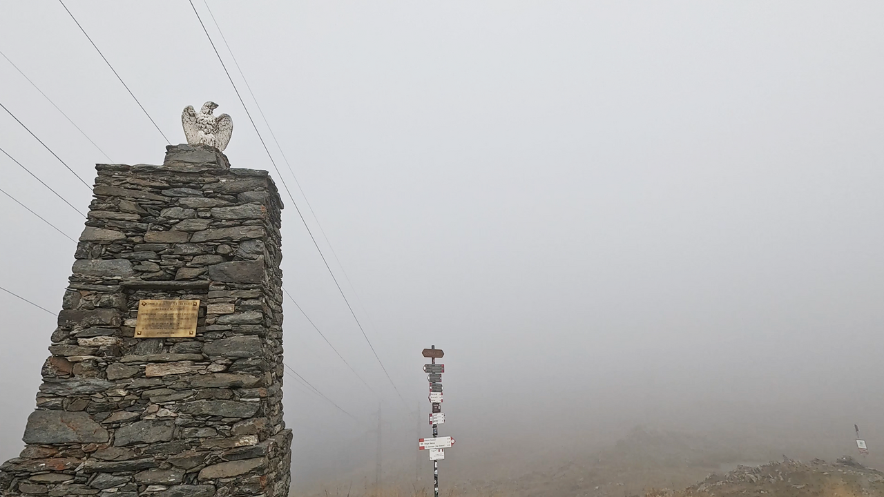
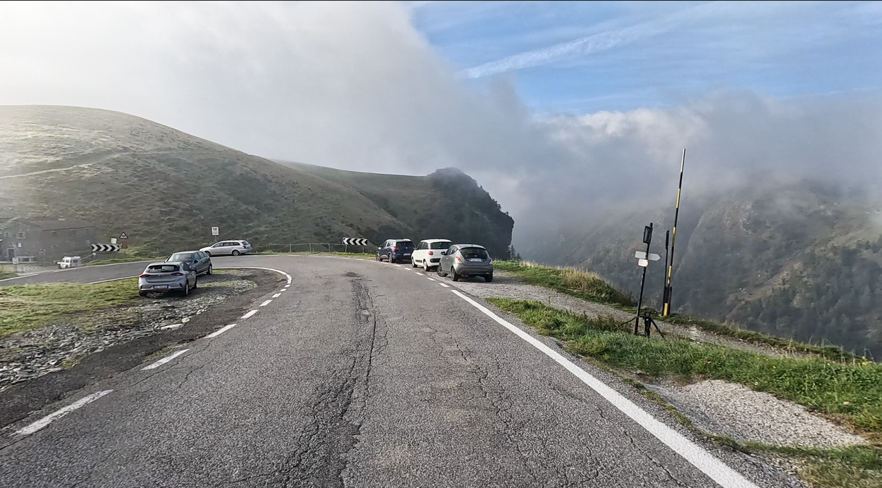
At the summit, there are information boards about the surrounding peaks, commemorative plaques and a small car park. However, a rifugio – the Rifugio Ca’ San Marco (a former hospice and customs post dating from the 17th century) – situated slightly below the pass summit on the southern side offers a chance to take a culinary break. Here, the road curves in a long arc along a short stretch of ridge – meaning that on both sides of the road, the terrain drops down into the valley. The views from here are fantastic.
Incidentally, the pass road is a great cross-country route for motorbike tours. It is the shortest route from the Splügen Pass via the Valtellina to the Bergamo area (Alpi Orobie) in Lombardy. The Passo di Zambla then leads further east into the Val Seriana.
Suggested videos (Passtracks close by)
| Country | Italien |
| Region | Lombardia |
| Coordinates | 46.04690000, 9.62278000 |
| Elevation | 1992 m |
| Max. slope | 15 % |
| Toll road | no |
| Road surface | Asphalt |
| Cul-de-sac | no |
| Length | 48 Km |
| Travel time | Normal to slow |
| Route | Morbegno Piazza Brembana |
 light rain, 5.6°C
 Subscribe to Newsletter