






Passo di Tremalzo | 1865 METER | Passo d'Ampola Passo d'Ampola
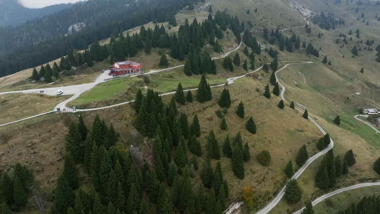
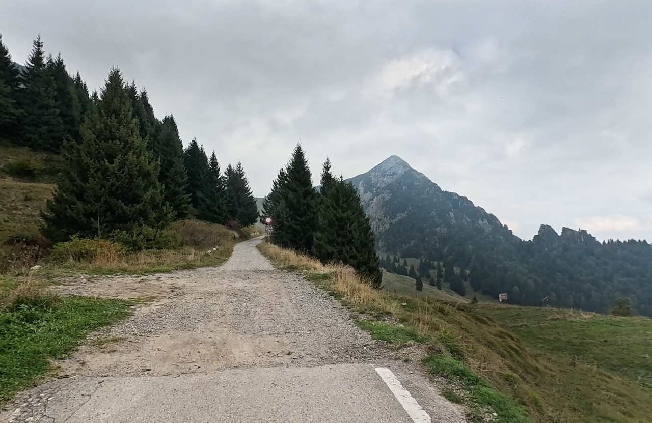
The Passo di Tremalzo, at 1,865 metres, is now only accessible to motorised vehicles as far as the Rifugio Garda Tremalzo. From there, the route is closed all the way to the tunnel – where the official summit is located – and further down via the famous southern ramp.
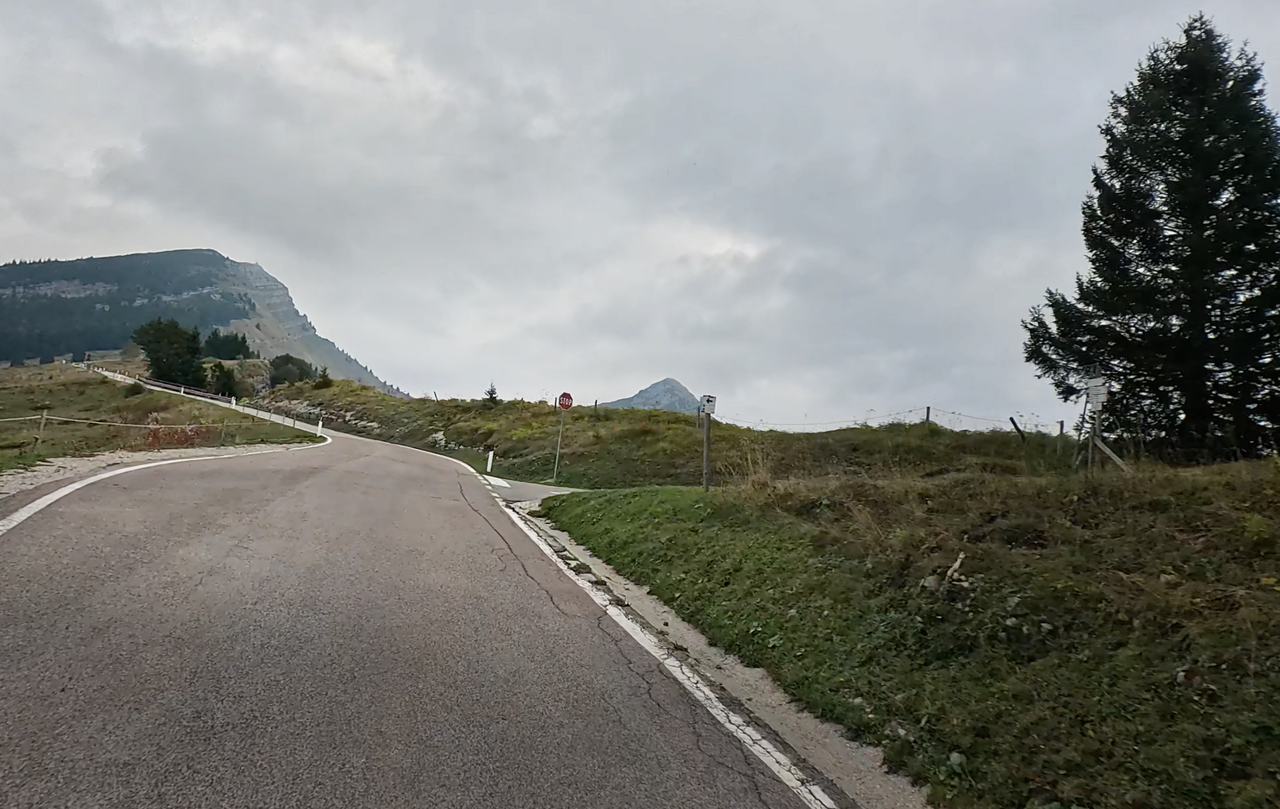
The official pass sign now stands at the Rifugio as well. However, the altitude here is just 1,700 metres – well below the official pass height.
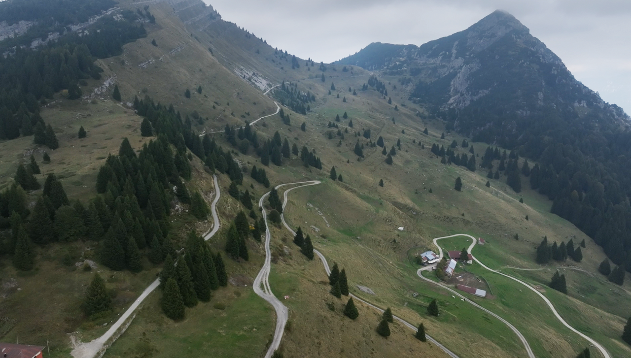
The southern ramp is steep, eroded and covered with coarse gravel and rocky steps. Only mountain bikers will find a true paradise here.
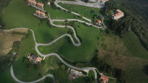
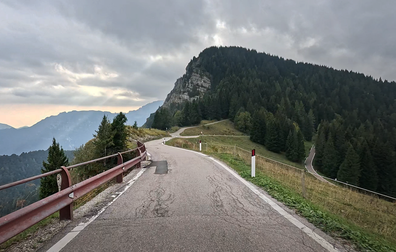
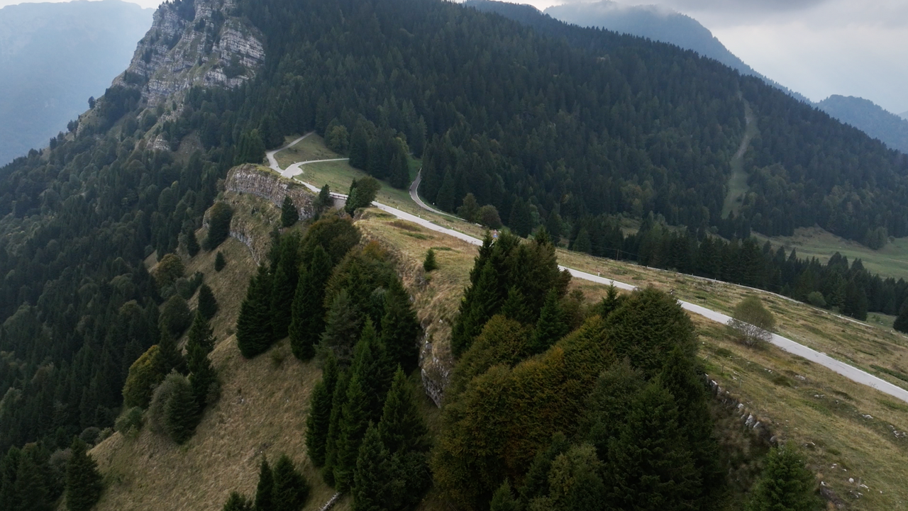
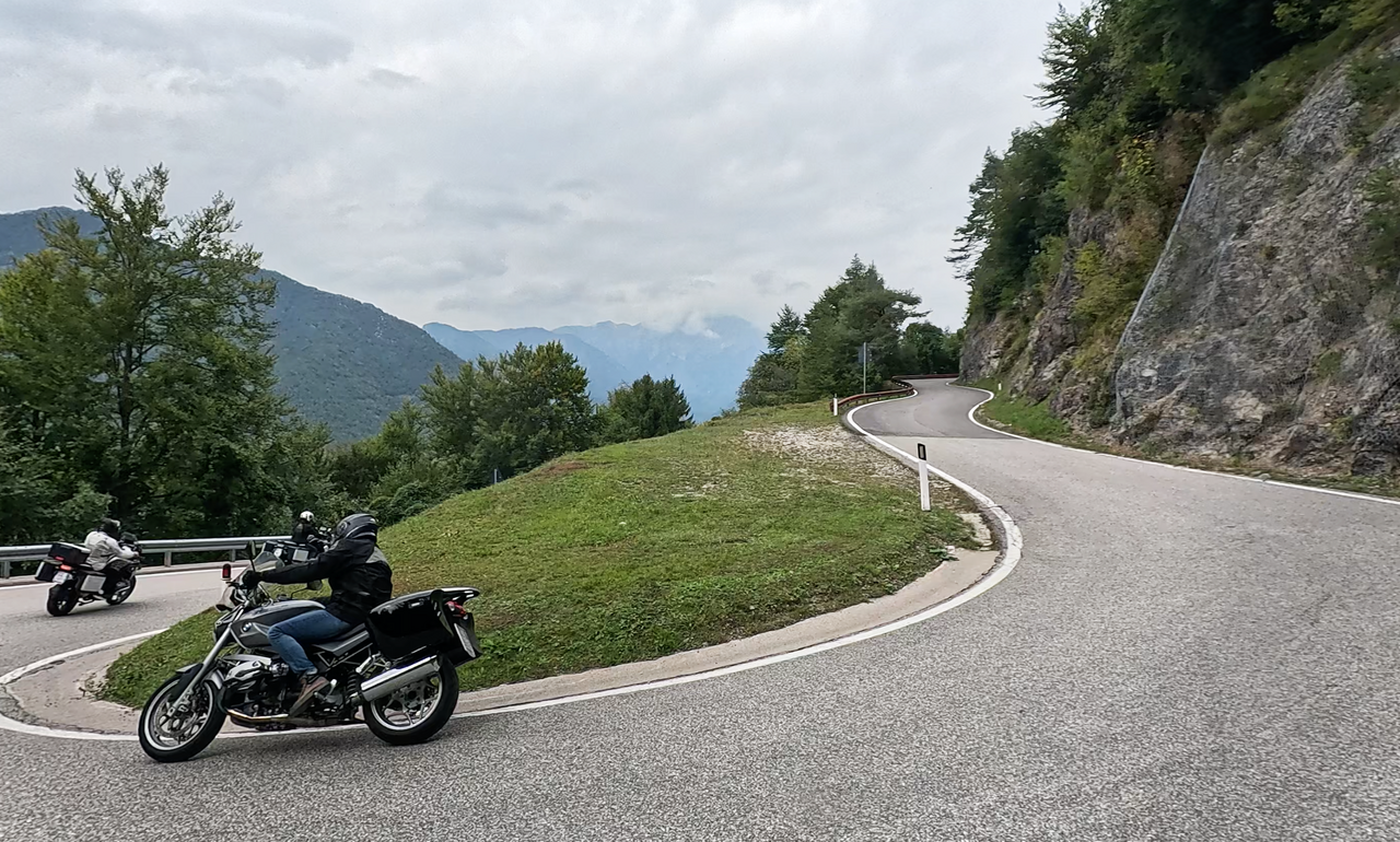
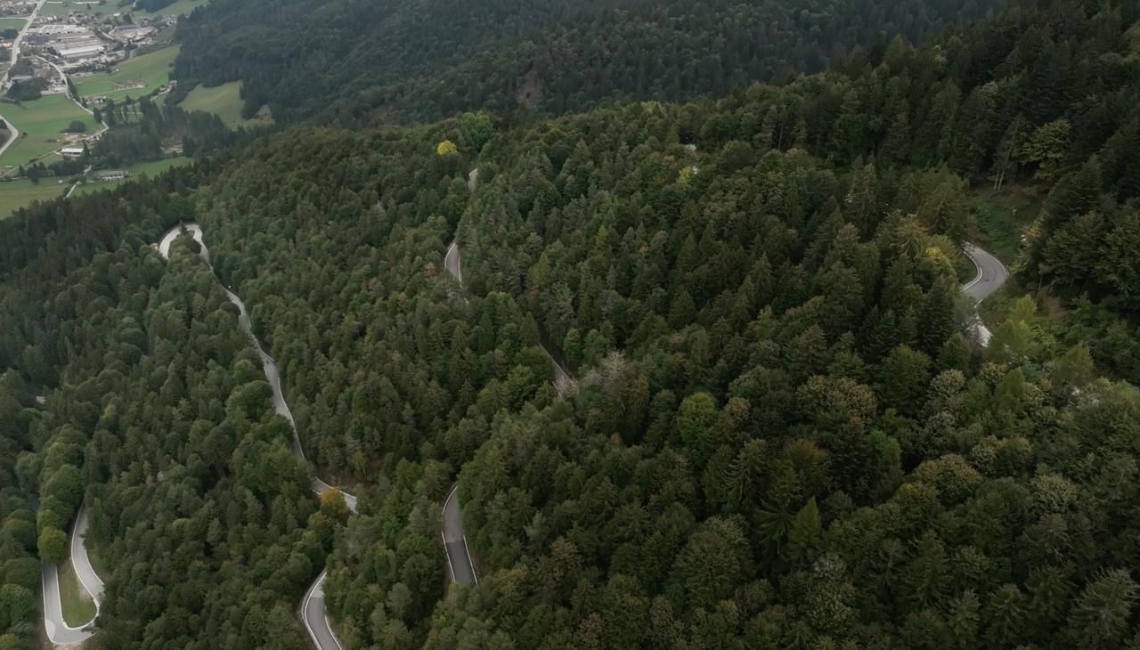
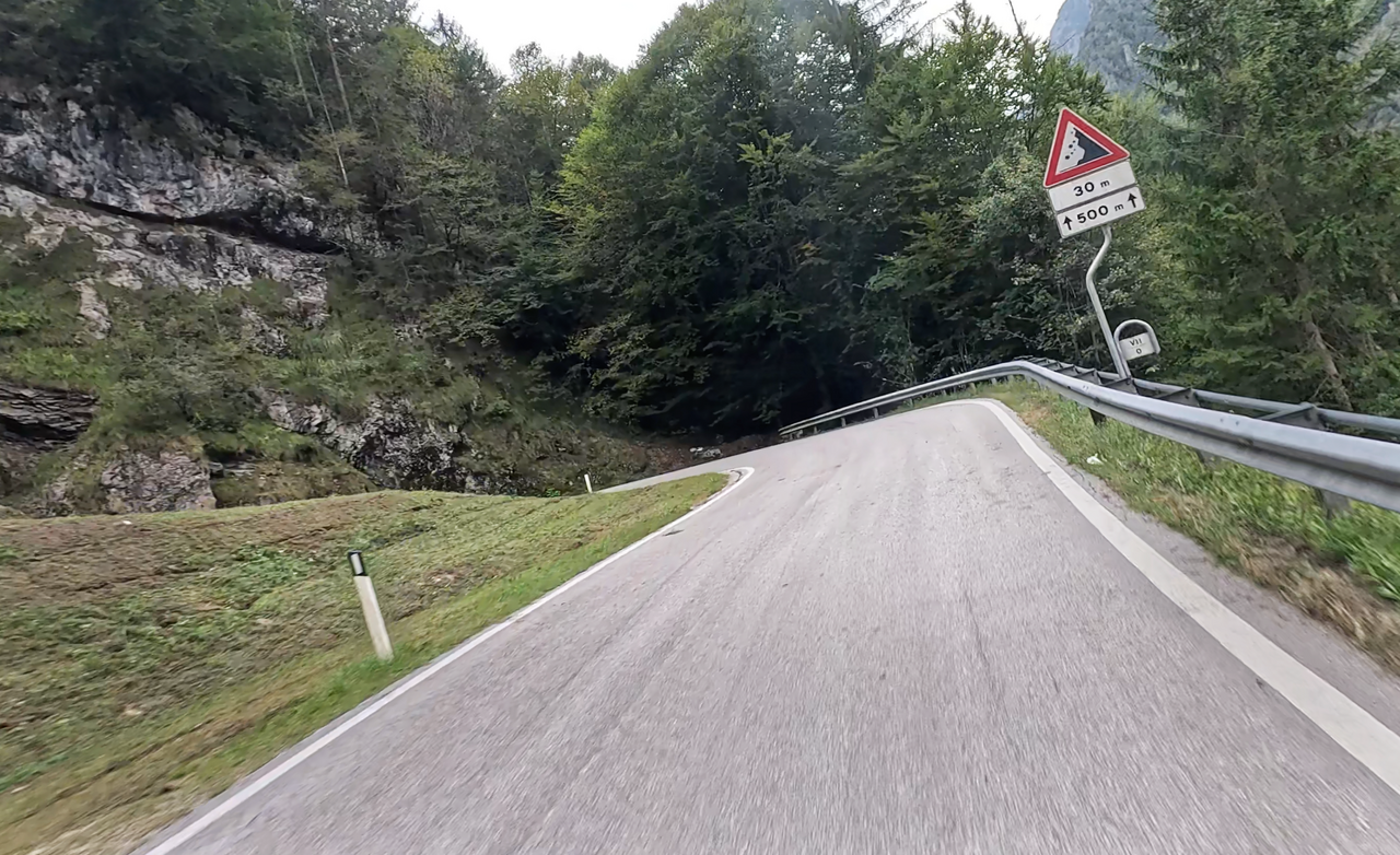
The northern ramp is nevertheless great fun, however, and should definitely be included in any plans for motorbike tours in the Lake Garda region. Around 20 serpentine bends, well tarmacked, lead to the car park at the Rifugio Garda Tremalzo. The lower section is heavily wooded, ideal on hot summer’s days. The final hundred metres to the car park are also spectacular, running along a ridge that drops steeply on the southern side.
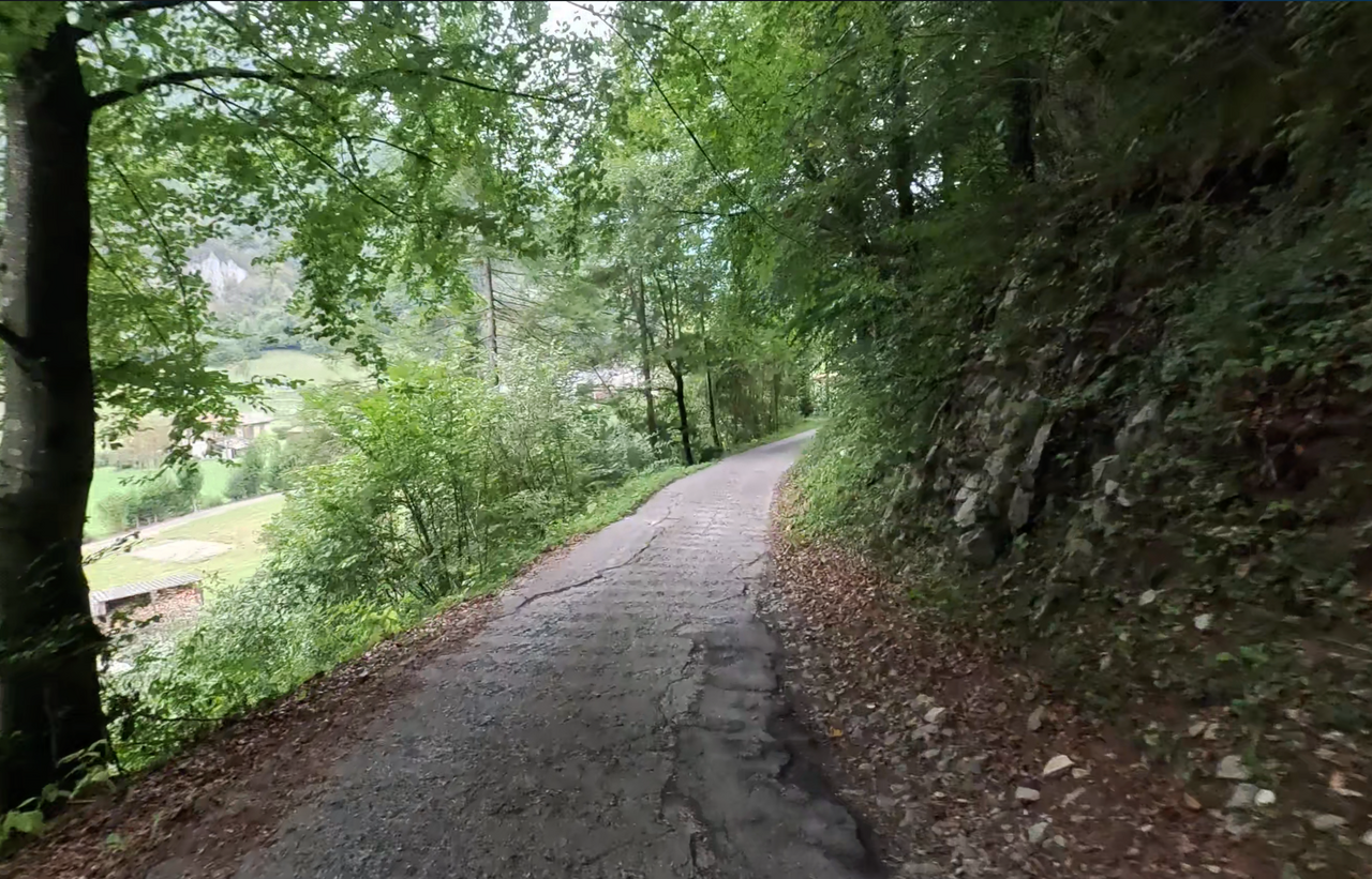
Whether you’re heading down towards Lake Garda or coming up from that direction, there’s an alternative route at the bottom of the ramp to the official turn-off at the Passo d’Ampolo. However, the tarmac and overall condition of this route are very poor. Furthermore, the road is single-lane.
| Country | Italien |
| Region | Trentino |
| Coordinates | 45.83676852, 10.68949555 |
| Elevation | 1865 m |
| Max. slope | 14 % |
| Toll road | no |
| Road surface | Asphalt |
| Cul-de-sac | yes |
| Length | 25 Km |
| Travel time | Normal |
| Route | Passo d'Ampola Passo d'Ampola |
 overcast clouds, 6.4°C
 Subscribe to Newsletter