






Passo d'Ampola | 747 METER | Ca' Rosa Bezzecca
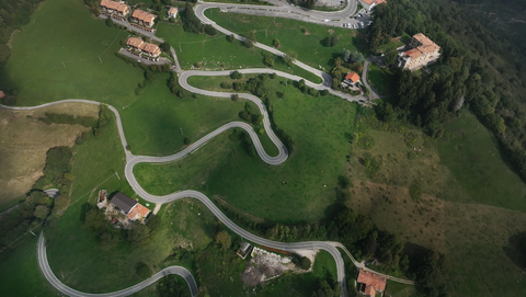
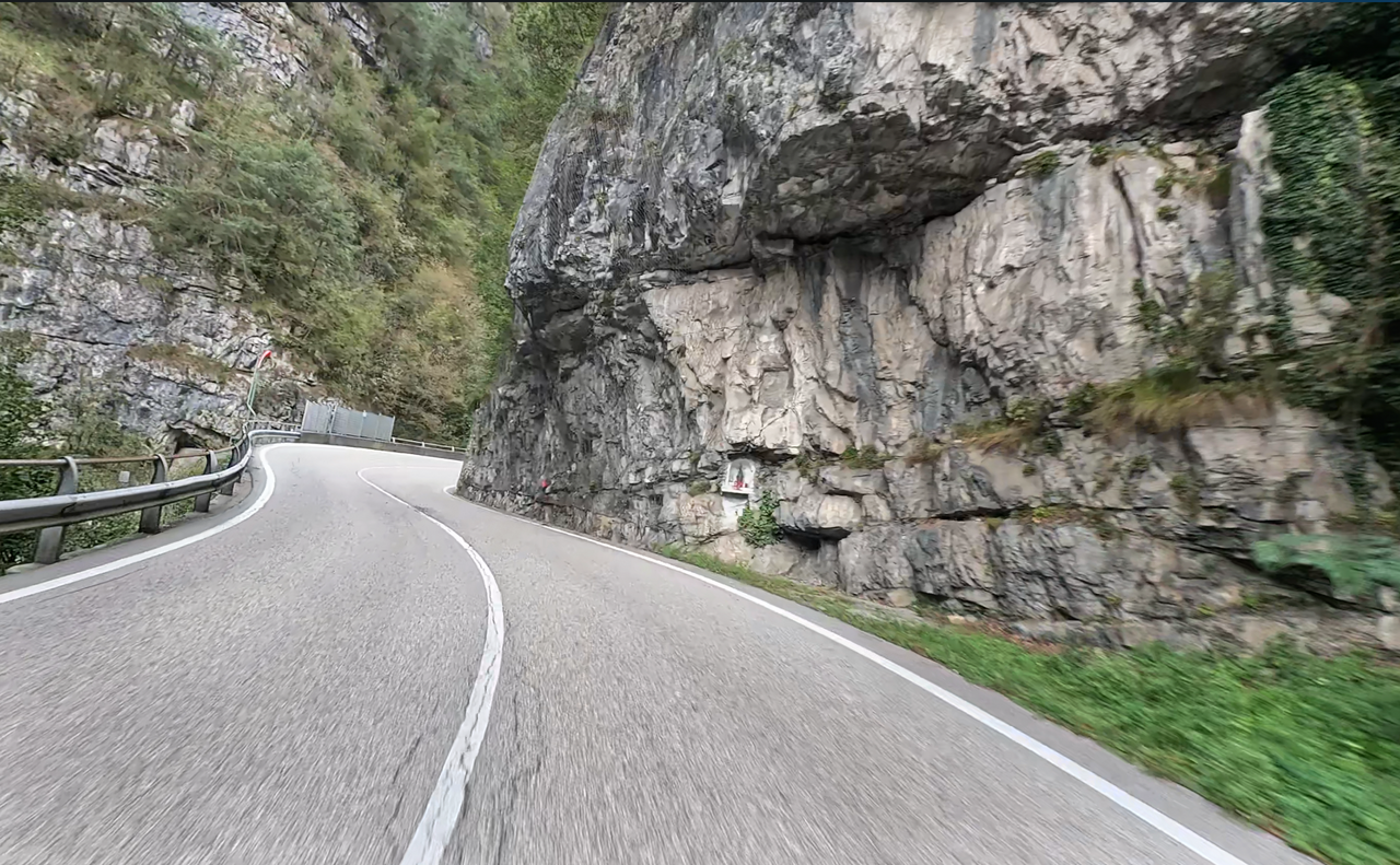
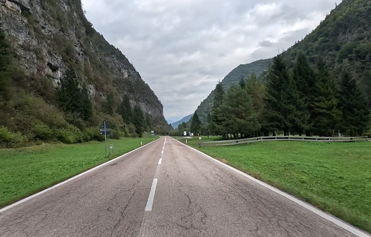
The Passo d’Ampola, at 747 metres, is a low Alpine pass in Trentino | South Tyrol, on the border with Lombardy. It links the valleys of Lake Idro with Lake Garda. The western approach is surprisingly winding, with a few hairpin bends, but the tarmac is in good condition. Part of the route leads through a deep valley with steep rock faces, the Valle d’Ampola – past several small waterfalls.
Immediately at the top of the pass, the route branches off towards the Passo di Tremalzo.
Tip: Just below the top of the pass, on the eastern approach, lies the small, very picturesque Lago d’Ampola: a protected, unspoilt lake of moorland and reeds (Biotopo Lago d’Ampola). A wooden boardwalk nature trail leads through the wetland, which provides a habitat for rare amphibians and waterbirds. Next to the road is the Centro Visitatori, a small information centre run by the nature park.
| Country | Italien |
| Region | Trentino |
| Coordinates | 45.86438809, 10.64554675 |
| Elevation | 747 m |
| Max. slope | 8 % |
| Toll road | no |
| Road surface | Asphalt |
| Cul-de-sac | no |
| Length | 17 Km |
| Travel time | Normal |
| Route | Ca' Rosa Bezzecca |
 broken clouds, 9.7°C
 Subscribe to Newsletter