


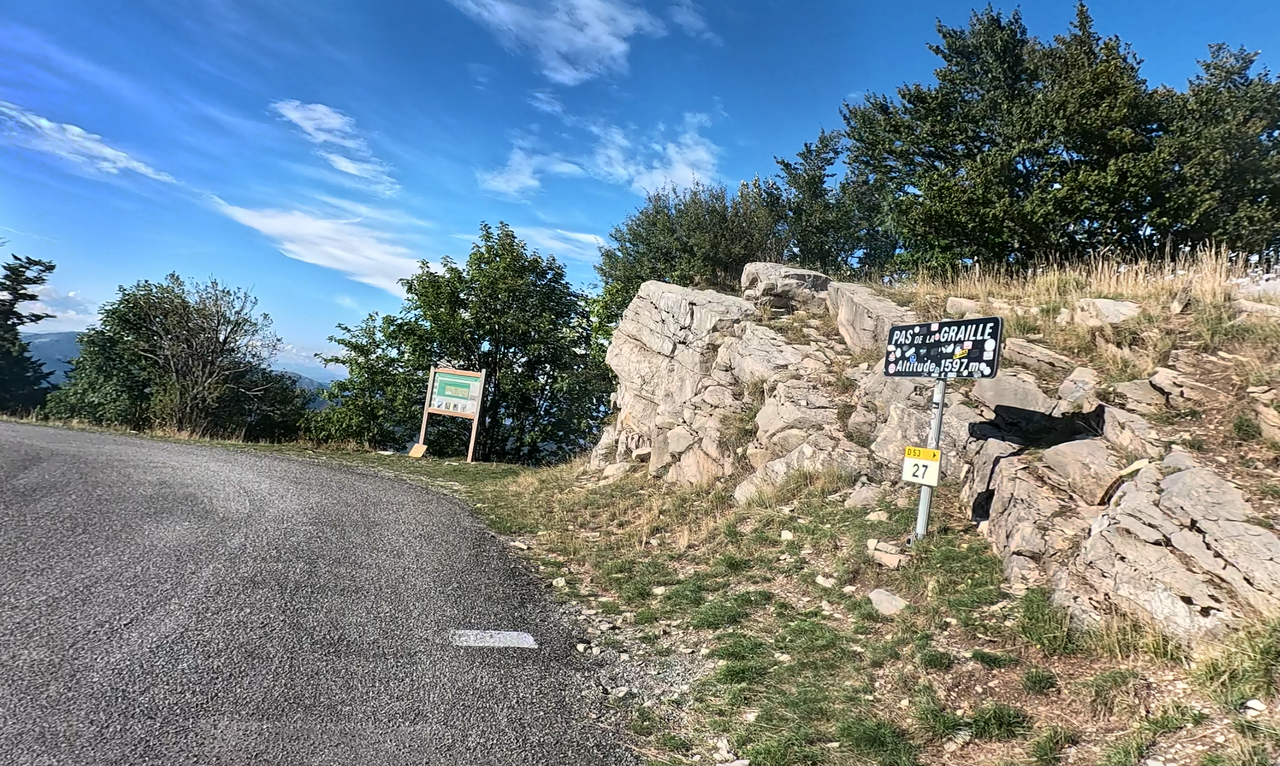
Pas de la Graille | 1597 METER | Saint-Étienne-les-Orgues Les Richaud
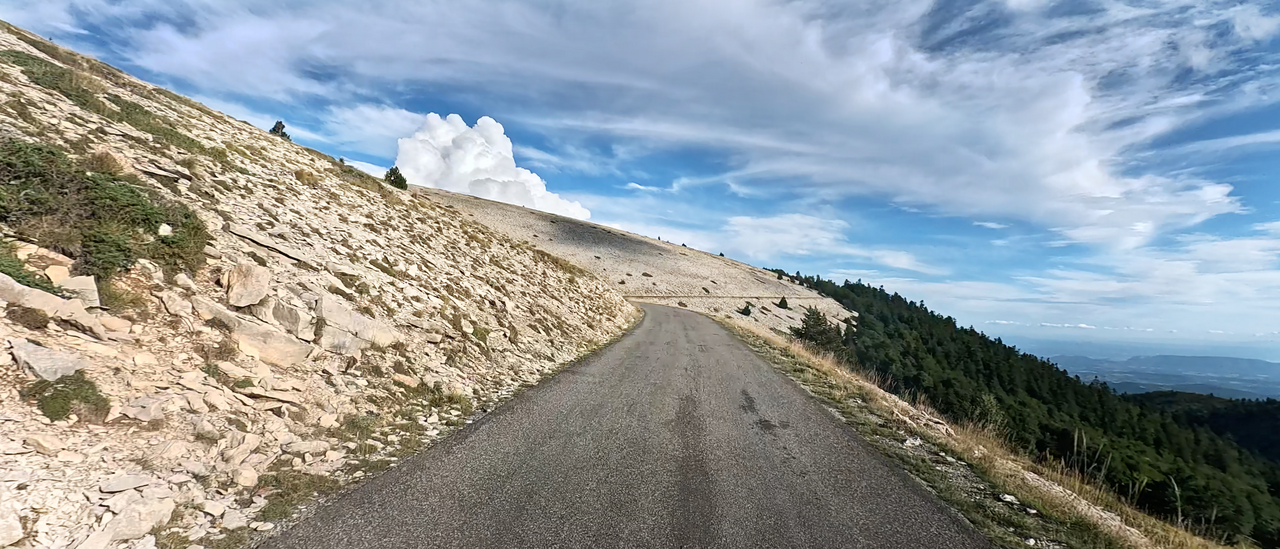
The Pas de la Graille Alpine pass is located in the southwestern foothills of the Alps, in the Alpes-de-Haute-Provence region. When travelling through the southwestern French Pre-Alps, you might think you are in a maritime and flat region, but then these mountains rise again to over 1,800 metres above sea level.
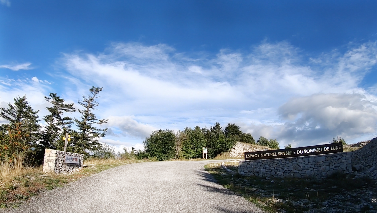
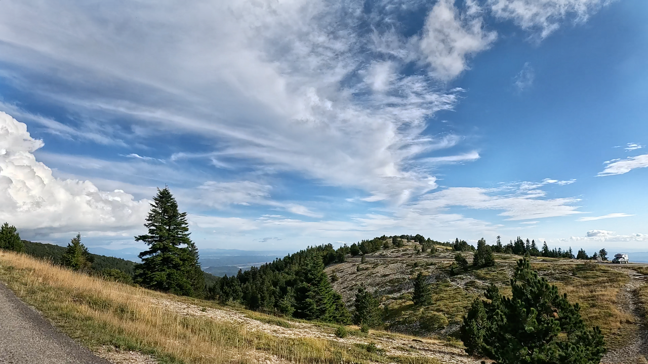
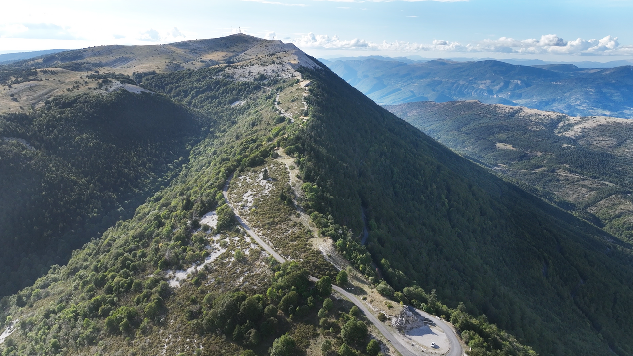
The Pas de la Graille is located in ‘the landscapes of the Lure Mountains’, a mountain range that owes its distinctive appearance to its composition of pure sedimentary rock. Flat and gently sloping in the south, and steeply sloping in the north.
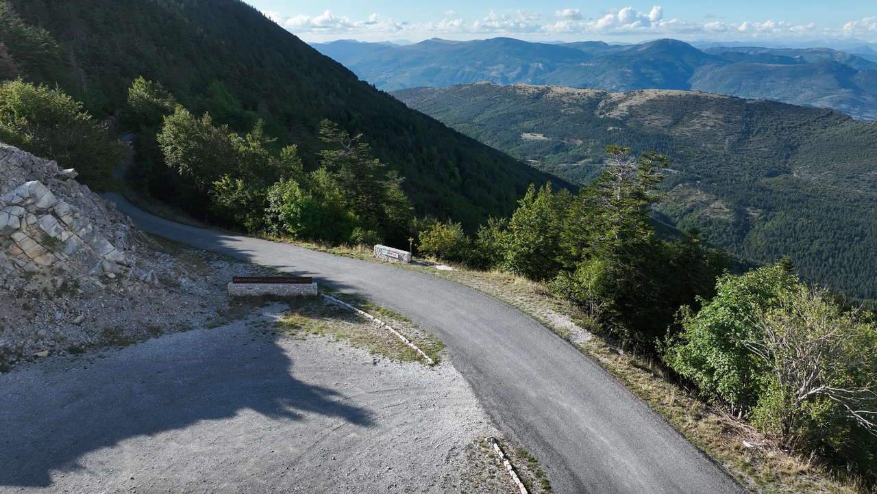
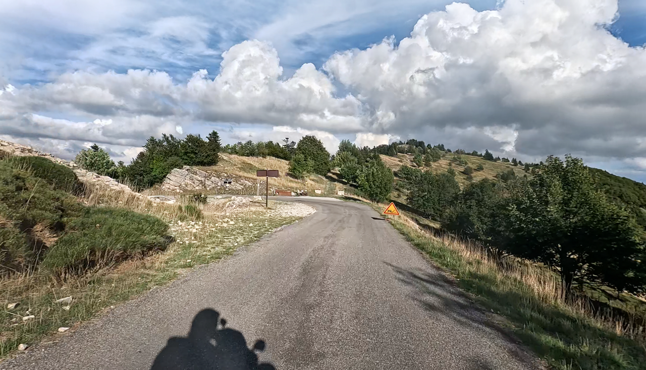
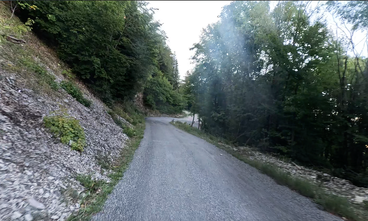
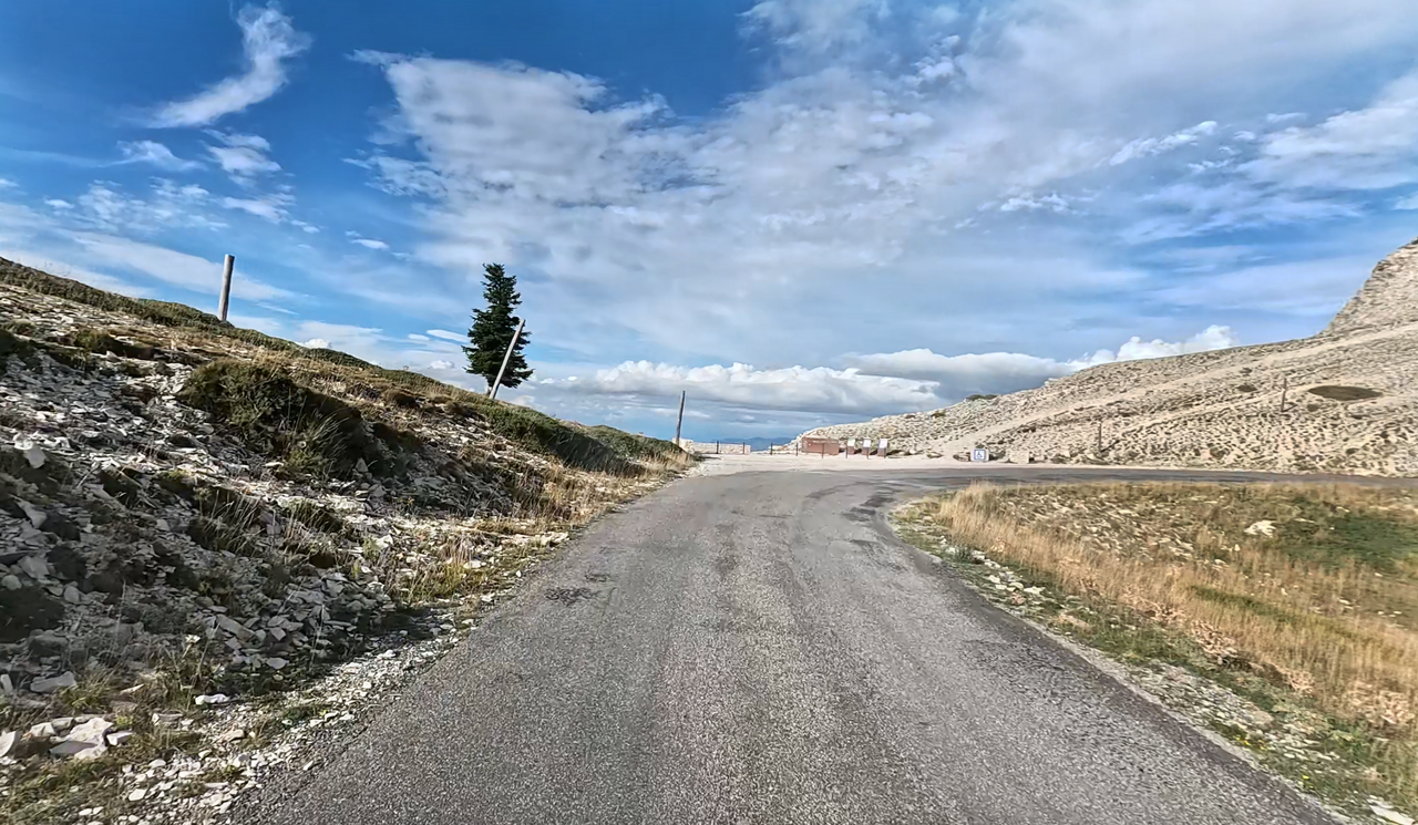
The road over the Pas de la Graille is great fun to drive. It is winding, not particularly wide, but still not difficult to drive. The southern ramp runs for several kilometres along a ridge or mountain crest, offering numerous picturesque and impressive views. This route climbs to over 1,800 metres above sea level, whereas the Pas de la Graille reaches its pass height at just under 1,600 metres. It is located in a 180-degree bend and invites you to stop with a small car park. From here, you have wonderful views on three sides.
Another highlight of this region is the low volume of traffic. It is sparsely populated and, of course, has a strong and well-known ‘competitor’ in the classic north-south passage, the ‘Route des Grandes Alpes’ further east in the Alps.
Tip: The Sommet de Lure (or Montagne de Lure) and the ‘Paysages de Lure’ viewing platform are located on the ridge – allow time for a short stop.
Just try out our Alpine Passes Atlas. Motorcycle tours in this region are a real alternative.
| Country | Frankreich |
| Region | Alpes-de-Haute-Provence |
| Coordinates | 44.11515409, 5.83314373 |
| Elevation | 1597 m |
| Max. slope | |
| Toll road | no |
| Road surface | Asphalt |
| Cul-de-sac | no |
| Length | 42 Km |
| Travel time | Normal |
| Route | Saint-Étienne-les-Orgues Les Richaud |
 clear sky, 13.8°C