

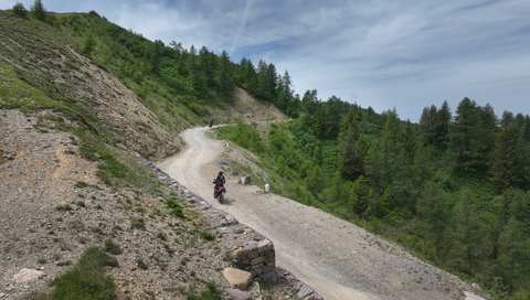
Strada delle Tre Valli – a 17-kilometre route of gravel and tarmac for off-road beginners.
5 days ago
Passo delle Fittanze della Sega | 1,393 metres: 30 hairpin bends, a 20 per cent gradient and 100 per cent panoramic views.
1 week ago
Colle di San Fermo | 1,074 metres: The western approach alone is a motorcyclist’s paradise, with 40 bends.
2 weeks ago





Panider Sattel | 1442 METER | Ortisei Kastelruth
The road over the rather inconspicuous Passo Pinei connects Castelrotto with Ortisei in the Val Gardena. The route is completely asphalted and well developed.
Passtracks close by:
Sella del Gulac, Sellajoch, Nigerpass, Grödner Joch, Pordoijoch
Suggested videos (Passtracks close by)
| Country | Italien |
| Region | Bozen |
| Coordinates | 46.58030000, 11.62250000 |
| Elevation | 1442 m |
| Max. slope | |
| Toll road | no |
| Road surface | |
| Cul-de-sac | no |
| Length | |
| Travel time | Normal |
| Route | Ortisei Kastelruth |
 scattered clouds, 1.6°C
Hotels close by
 Subscribe to Newsletter