


Niederalpl | 1221 METER | Wegscheid 8634 Mürzsteg
The Niederalpl (pass height 1,221 metres) is both a mountain pass and a village in the Mürzsteg Alps in Styria. The L113 Niederalplstraße connects Mürzsteg via Dobrein (in the municipality of Mürzsteg) with the village of Wegscheid via Aschbach (both in the municipality of Gußwerk), and thus links the Mürztal and Salzatal valleys with Mariazell.
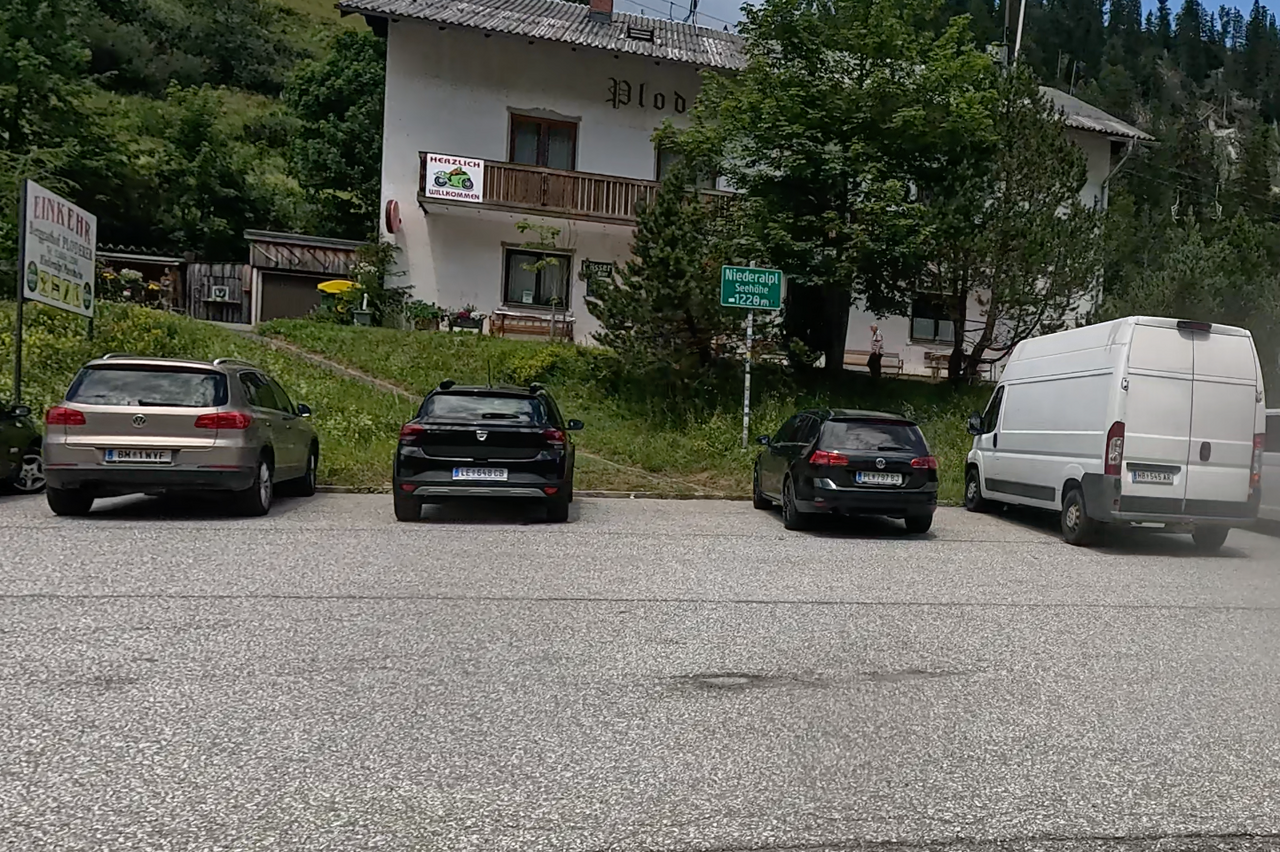
Until 2012, the pass summit marked the boundary between the districts of Mürzzuschlag and Bruck an der Mur. The pass connects the Veitschalpe in the south with the Tonionalpe in the north. Niederalpl is a village in the municipality of Mürzsteg in the district of Bruck-Mürzzuschlag and a hamlet of Aschbach in the municipality of Gußwerk in the same district. The Mürzsteg section lies as a hamlet at 921 metres above sea level on the eastern slope of the pass; this also includes the houses at the pass summit and the Wetterinalm. To the west, there are a few scattered houses along the old pass road (Alte Niederalplstraße) and in the Dürrwaldgraben at 961 metres above sea level. There are three restaurants at the pass summit; two of which are open all year round.
| Country | Österreich |
| Region | Steiermark |
| Coordinates | 47.68080000, 15.37750000 |
| Elevation | 1221 m |
| Max. slope | |
| Toll road | no |
| Road surface | |
| Cul-de-sac | no |
| Length | |
| Travel time | Normal |
| Route | Wegscheid 8634 Mürzsteg |
 overcast clouds, 22.6°C