


Mangart | 2055 METER |
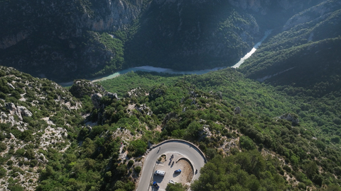
Two kilometres east of the Predil Pass, which connects Bovec in Slovenia with Predil and further on with Tarvisio in Italy, the Mangart Road leads in a northeasterly direction up to the highest point in Slovenia that can be driven on. The road is narrow and in some places almost single-lane, but it is well paved. The route is winding and has some sharp bends. Not for motorhomes. There are also five short tunnels to pass through, some of which are unlit. At just over two thousand metres, you reach a large car park. If it is overcrowded, the driveway is closed.
A toll is charged for the approximately 12-kilometre route. The revenue is used, among other things, to maintain the road from the car park up to a plateau. This road, with gradients of up to 17 per cent, runs along a hillside and is repeatedly impassable due to mudslides. However, the drive up to the car park is always worthwhile for sporty activities, picnics and the magnificent views.
Videos
Suggested videos (Passtracks close by)
| Country | Slowenien |
| Region | Slowenien |
| Coordinates | 46.44418663, 13.64311241 |
| Elevation | 2055 m |
| Max. slope | 15 % |
| Toll road | yes |
| Road surface | Asphalt |
| Cul-de-sac | yes |
| Length | 12 Km |
| Travel time | Normal to slow |
| Route |
 overcast clouds, 5.2°C