







Josefsberg | 1012 METER | Wienerbruck Mitterbach am Erlaufsee
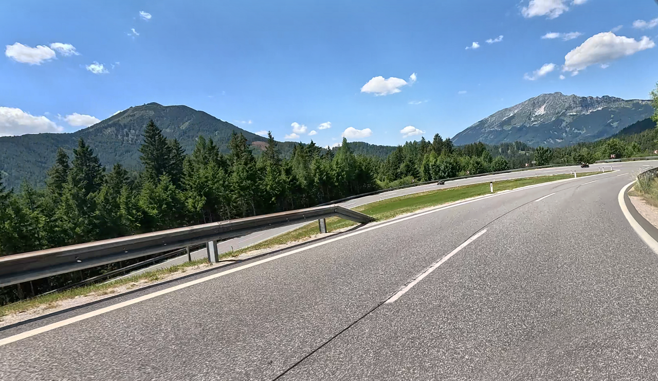
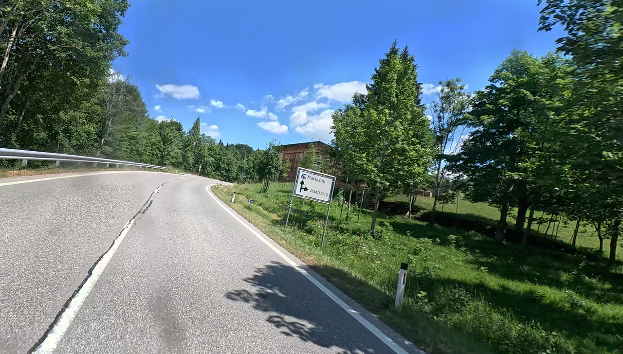
The Josefsberg is an Alpine pass in the Türnitz Alps; it is winding and well-maintained. It connects the municipalities of Wienerbruck in the north and Mitterbach in the south. The village of Josefsberg, situated near the top of the pass, is considered the highest village in Lower Austria.
The Josefsberg Alpine Pass lies on a route popular with motorcyclists, which begins in Türnitz, north of the Annaberg Alpine Pass, and ends in Mitterbach, south of the Josefsberg.
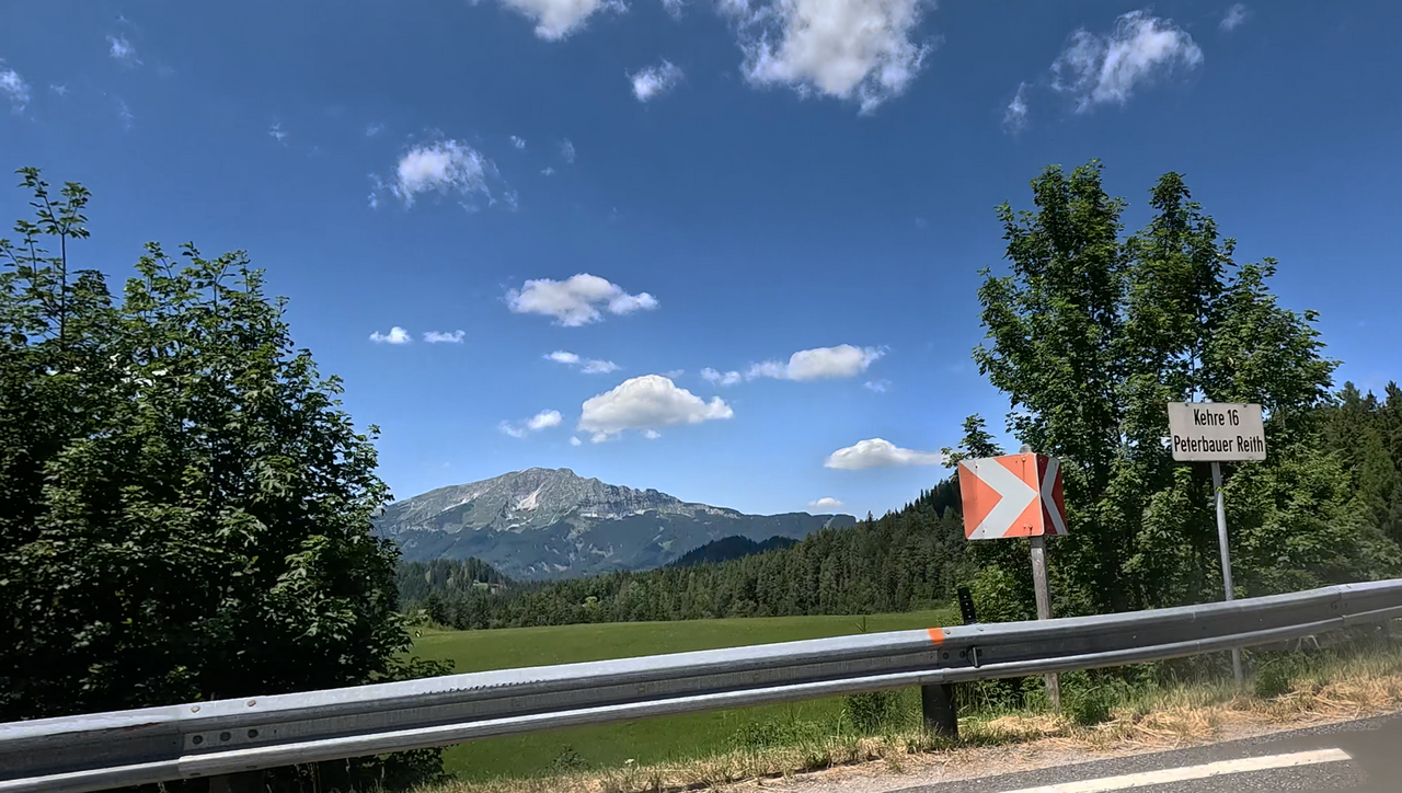
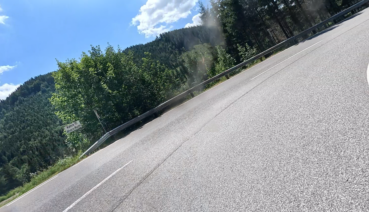
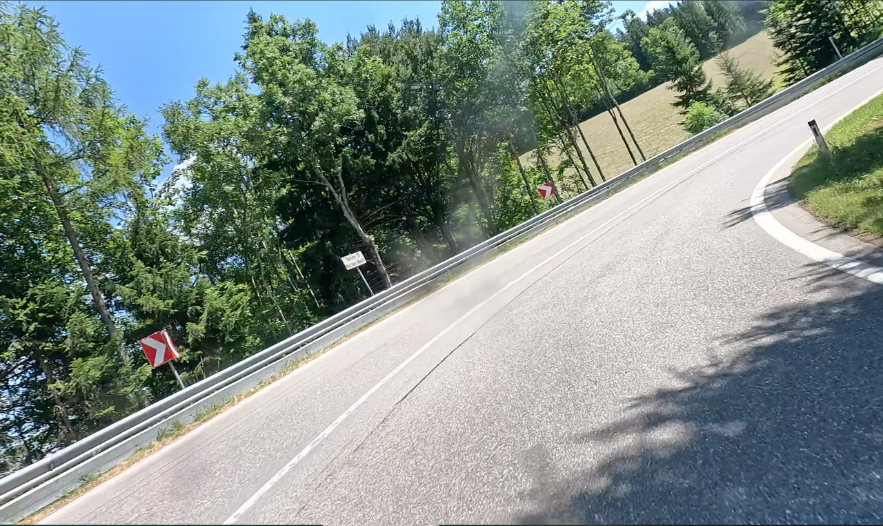
The route is characterised by numerous bends and hairpin bends, which are even numbered. Number one begins in Türnitz. The seventeenth hairpin bend is located just before Mitterbach. A route that’s great fun. Perhaps with a detour to the “Wastl a. Wald” Alpine Pass
The hairpin bends are known as “Reith” – named after a small village of the same name between Josefsberg and Annaberg. The numbering was introduced at the request of the road maintenance authority, due to numerous accidents on the route. The numbering helps with quick location.
| Country | Österreich |
| Region | Niederösterreich |
| Coordinates | 47.84573459, 15.31312926 |
| Elevation | 1012 m |
| Max. slope | 10 % |
| Toll road | no |
| Road surface | Asphalt |
| Cul-de-sac | no |
| Length | 11 Km |
| Travel time | Normal |
| Route | Wienerbruck Mitterbach am Erlaufsee |
 overcast clouds, 14.8°C
 Subscribe to Newsletter