






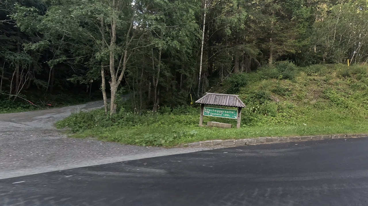
Hocheggersattel | 1318 METER | Oberwölz Oberzeiring
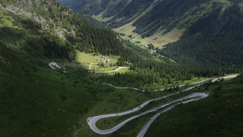
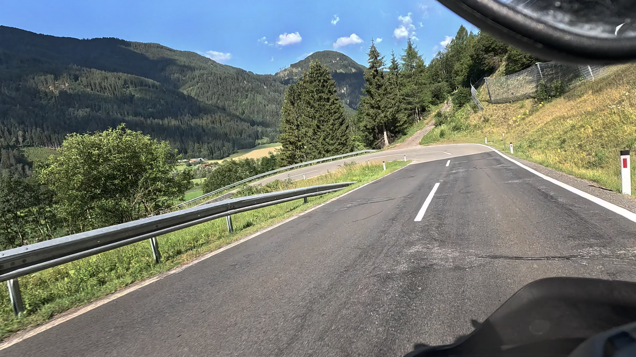
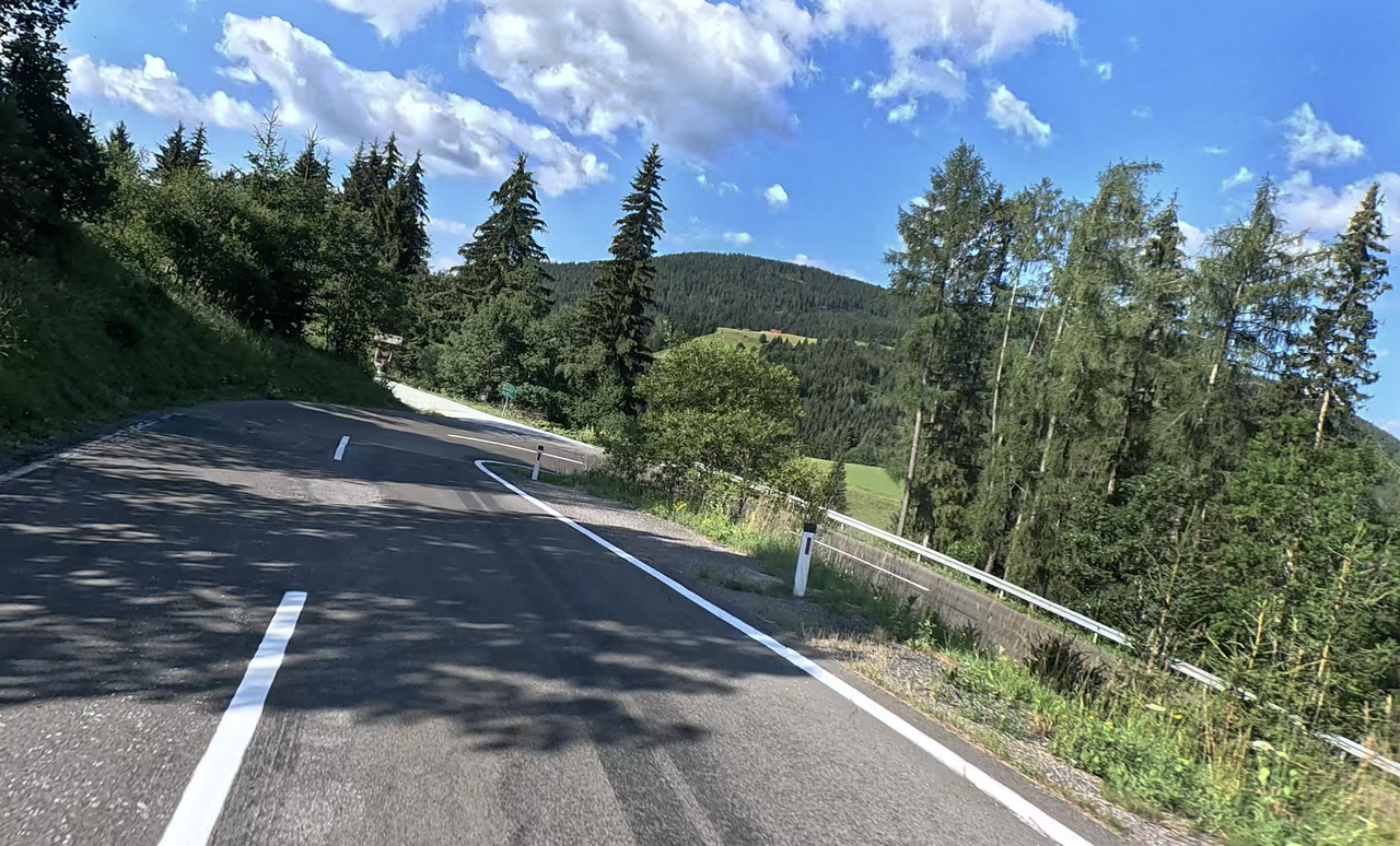
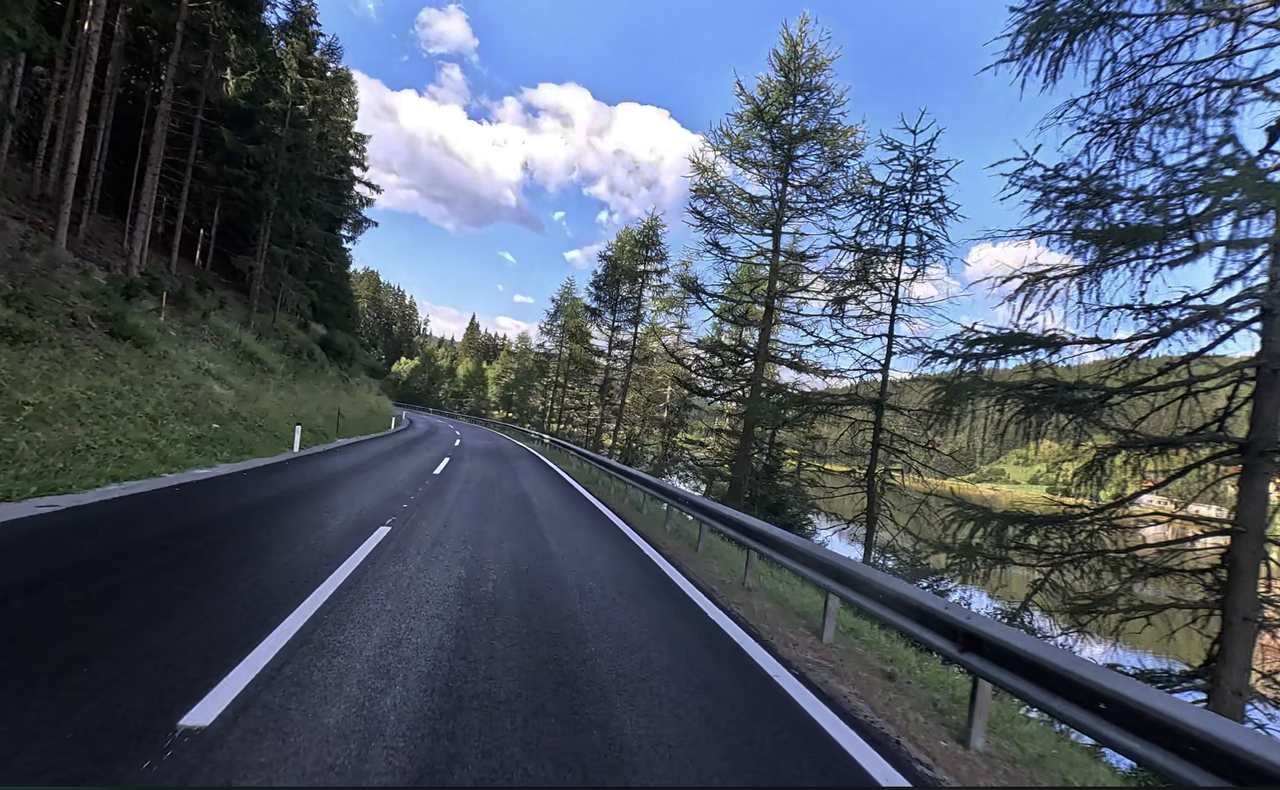
The Hocheggersattel, at an altitude of 1,318 metres, is situated in the Wölzer Tauern. The road is ideal for a leisurely drive. It is gently winding, runs straight through wooded areas on the eastern slope, and offers some lovely views down into the Wölzbacher Valley on the western side.
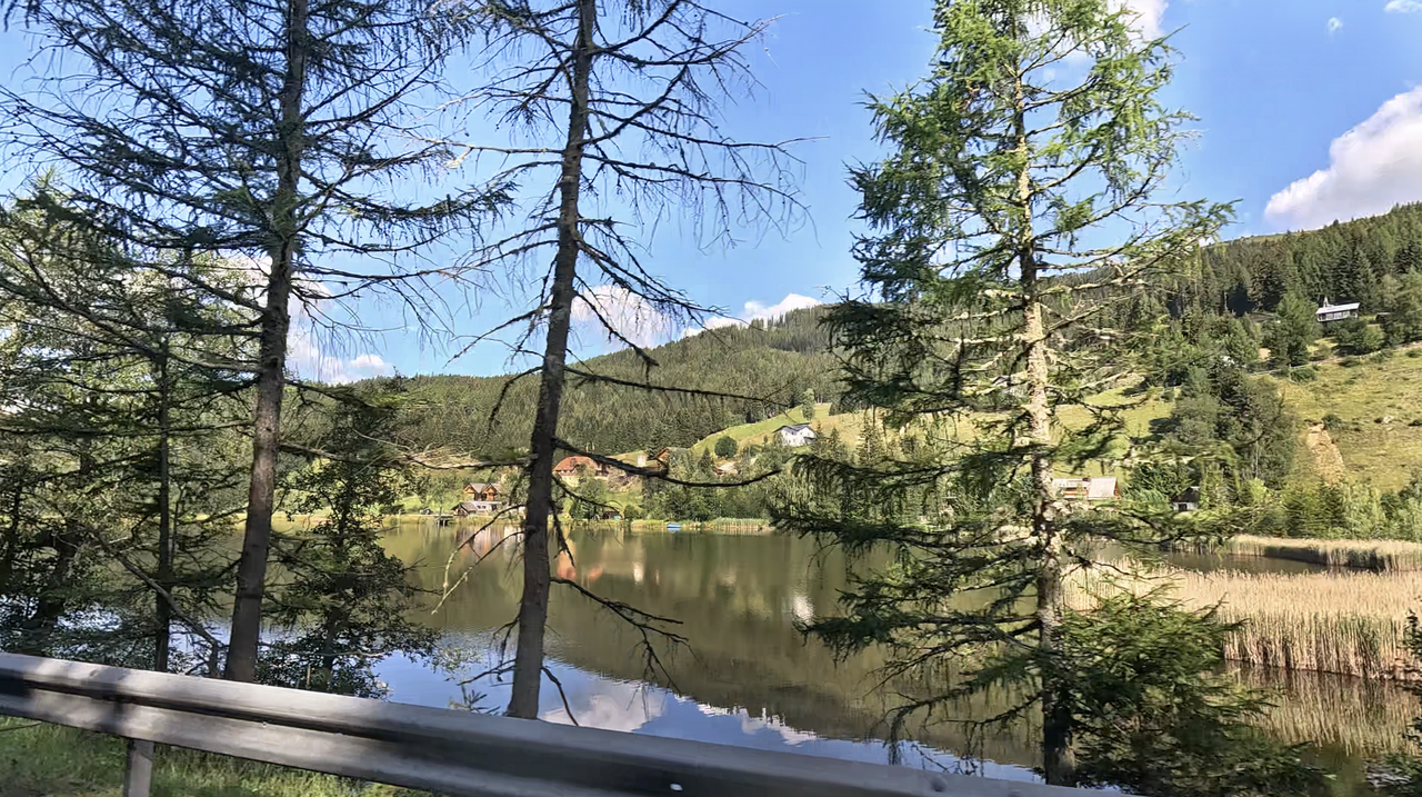
The Gellsee lies right at the top of the pass. It is situated within a protected moorland and nature reserve, around which a popular moorland nature trail also runs.
A little to the west of the pass summit, near the well-known Hochegger Wirt or Sagmeister inn, a narrow farm track branches off towards Salchau, offering scenic views. It also leads to Wölz; it is about three kilometres shorter but more challenging to drive.
There is an enduro park along the route.
For a longer motorbike tour, the beautiful but certainly challenging Sölk Pass is ideal in the west, whilst in the east there is the “Triebener Tauern” Alpine pass, which is relatively easy to ride.
| Country | Österreich |
| Region | Niederösterreich |
| Coordinates | 47.22873469, 14.35724757 |
| Elevation | 1318 m |
| Max. slope | 9 % |
| Toll road | no |
| Road surface | Asphalt |
| Cul-de-sac | no |
| Length | 23 Km |
| Travel time | Normal |
| Route | Oberwölz Oberzeiring |
 clear sky, 11.2°C
 Subscribe to Newsletter