







Triebener Tauern | 1274 METER | Trieben Möderbrugg
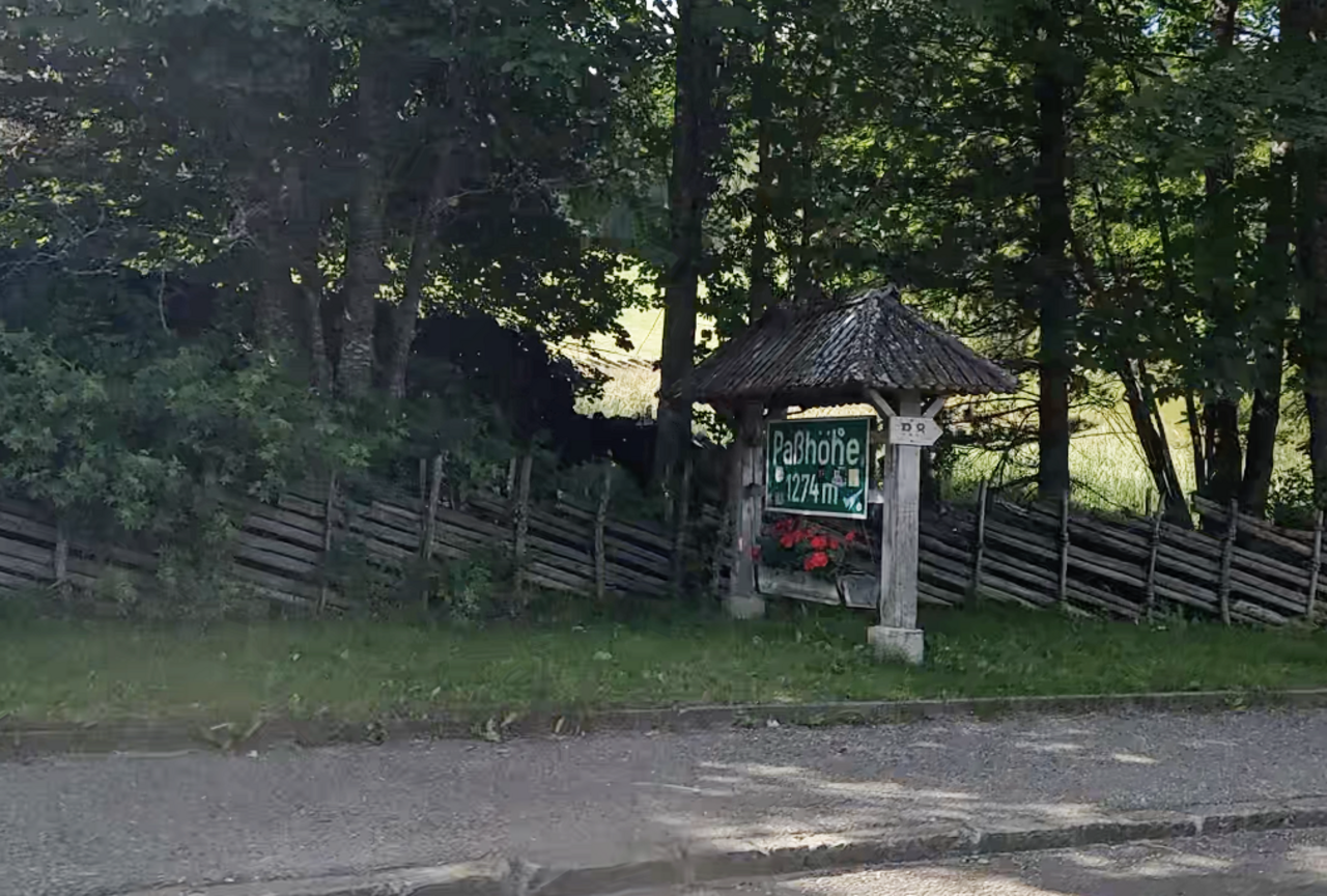
The “Triebener Tauern”, at an altitude of 1,274 metres, is an Alpine pass through the Niedere Tauern in Styria. It lies on the boundary between the Seckauer and Rottenmanner Tauern and connects the Mur Valley near Judenburg with the Paltental near Trieben. The pass summit is at an altitude of 1,274 metres, within the village of Hohentauern. The old section of road has been converted back into a forest track. Large sections of the roadbed have been filled in with rock fill and the bridges have been demolished.
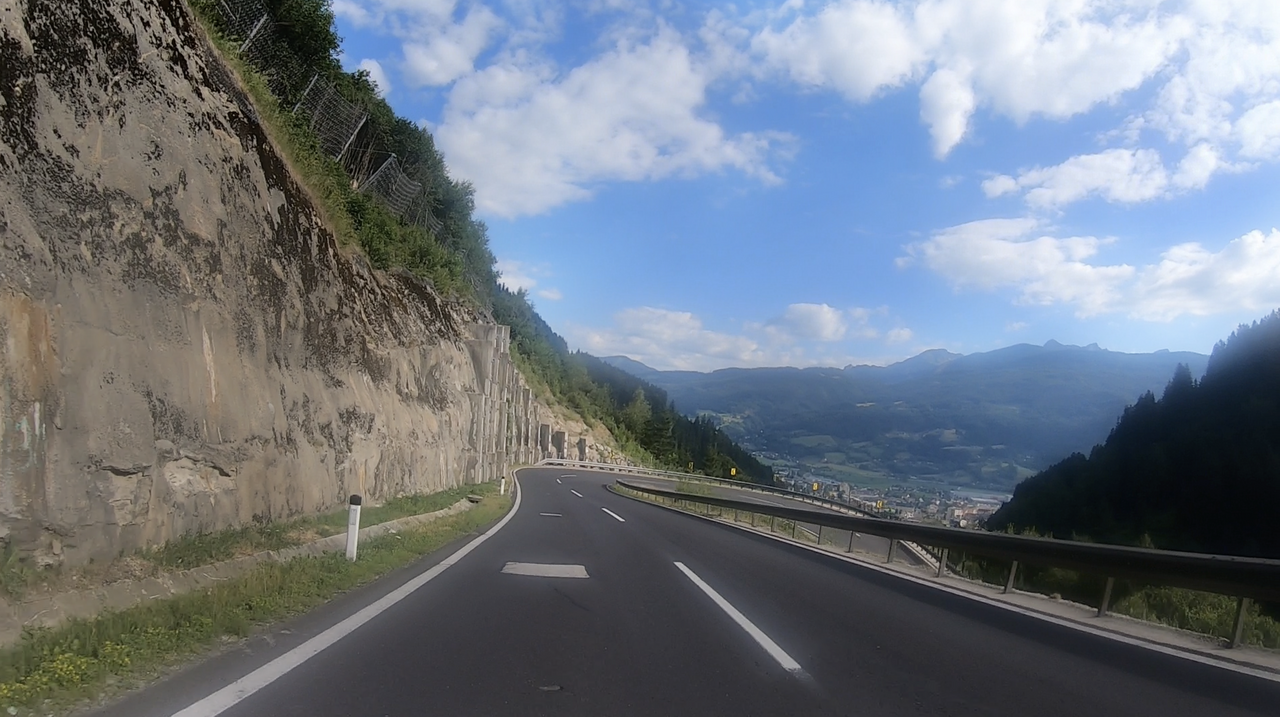
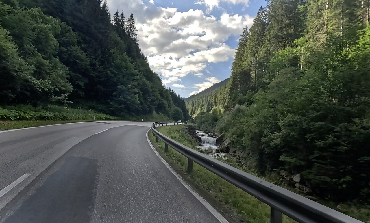
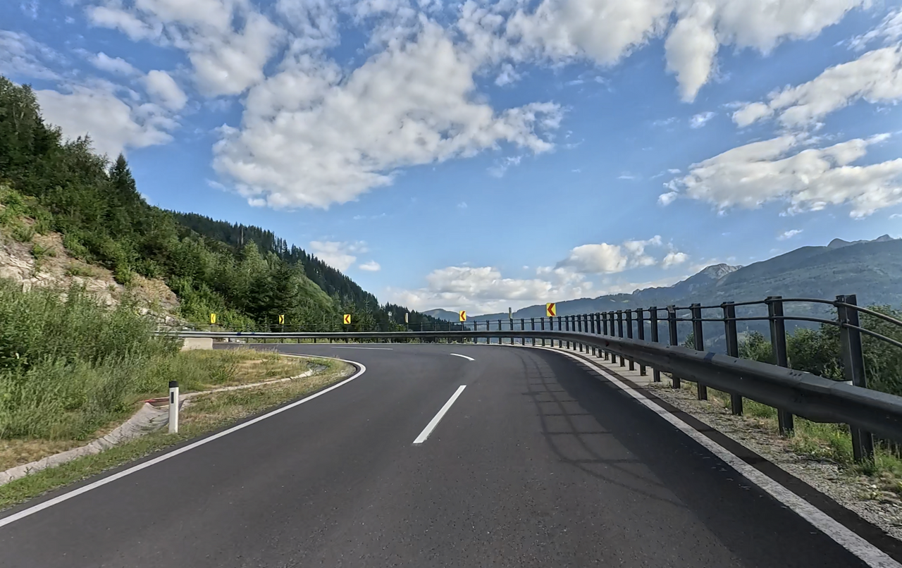
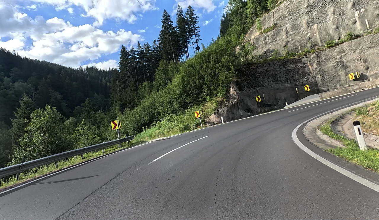
On the northern approach, there are a few hairpin bends offering a lovely view down towards Trieben. Furthermore, a long, winding high valley, also on the northern approach, is well worth seeing.
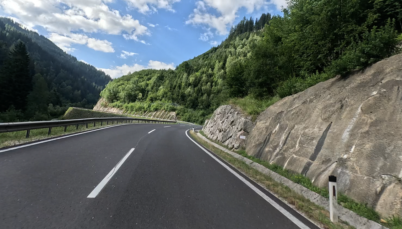
Overall, the route over this Alpine pass can be driven at a brisk pace.
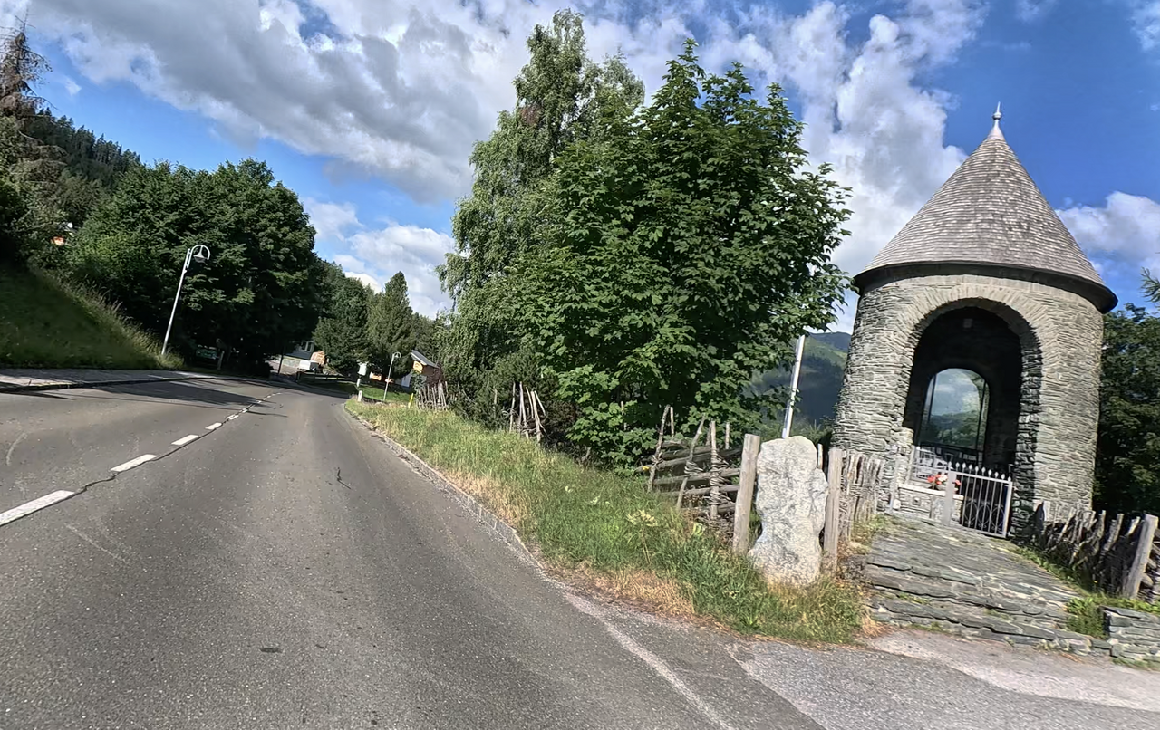
At the summit, in the village of Hohertauern, stands a war memorial in honour of the fallen soldiers from the region. A regional speciality of the area around the Triebener Tauern is the rare pinolite magnesite (also known as ‘Pinolenstein’) from the nearby mining area of Sunk. This rare, characteristically mottled raw magnesite has historically been used in the region for both sacred buildings and for monuments and commemorative plaques.
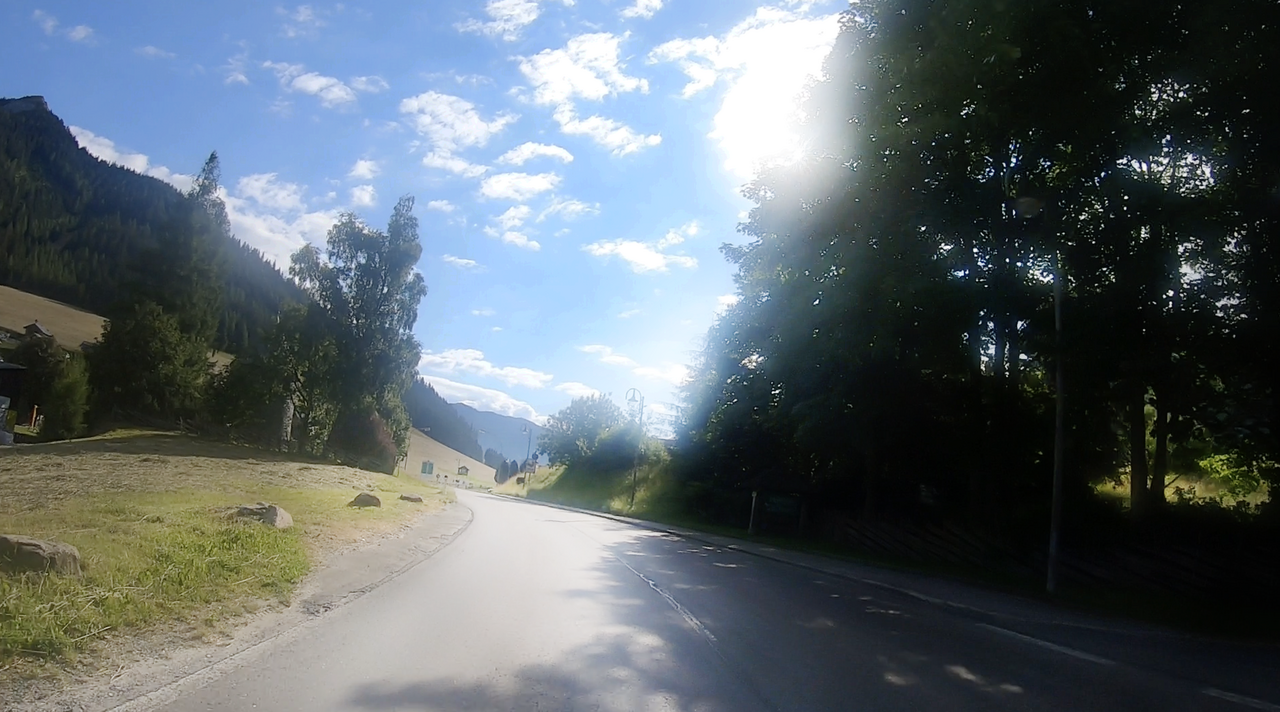
Hohentauern has a long history of mountain passes and mining – both the historic mule-track and postal routes and the mining in Sunk have shaped the village over the last few centuries.
| Country | Österreich |
| Region | Steiermark |
| Coordinates | 47.43310000, 14.47920000 |
| Elevation | 1274 m |
| Max. slope | |
| Toll road | no |
| Road surface | Asphalt |
| Cul-de-sac | no |
| Length | 29 Km |
| Travel time | Normal |
| Route | Trieben Möderbrugg |
 clear sky, 19.6°C
 Subscribe to Newsletter