







Hengstpass | 965 METER | Windischgarsten Altenmarkt bei St. Gallen
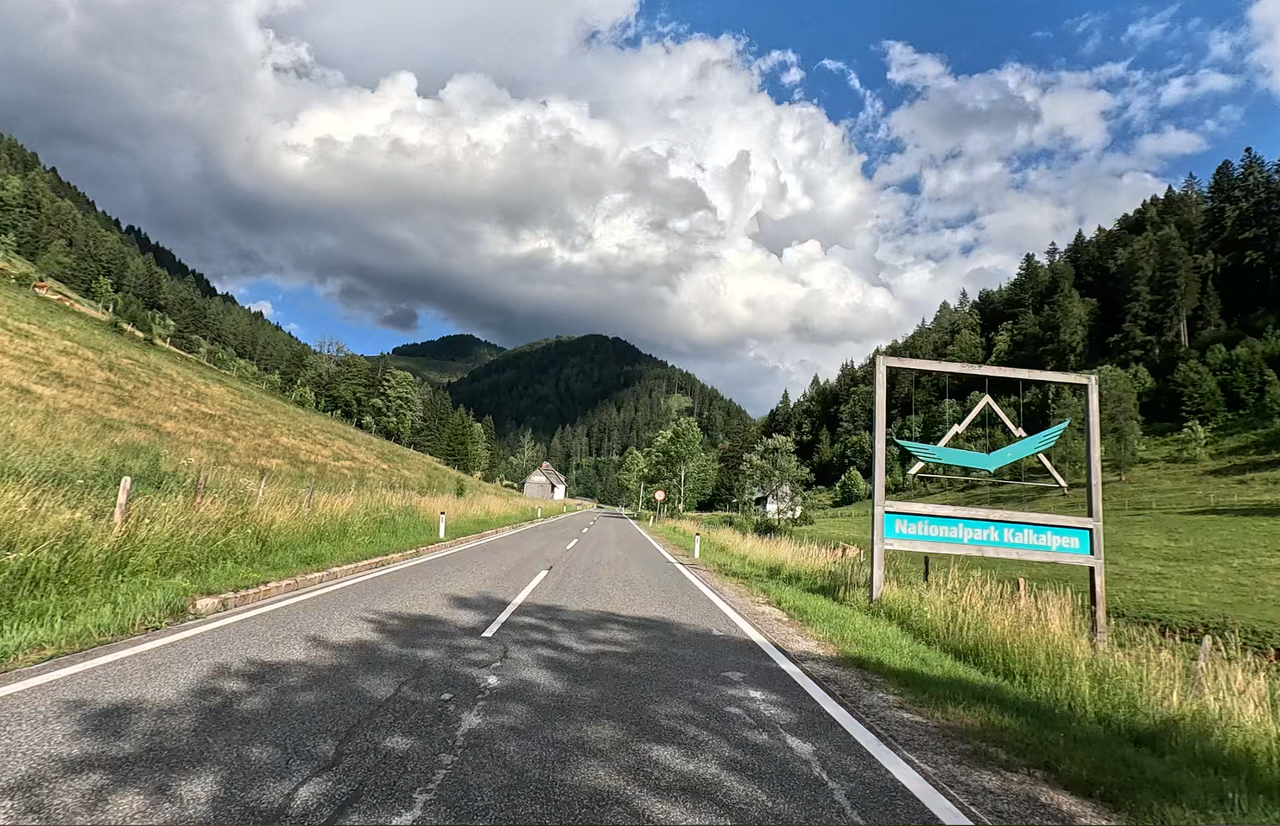
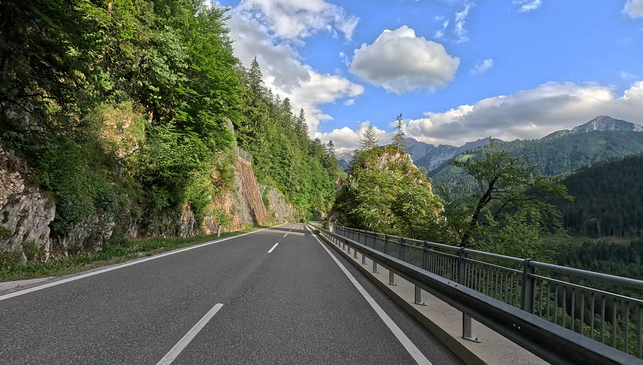
The Hengst Pass, at an altitude of 964 metres, is an Alpine pass on the border between Upper Austria and Styria, and lies on the Austrian Iron Road. The Alpine pass was already heavily used in the Middle Ages to transport provisions to the mines and to carry iron ore northwards.
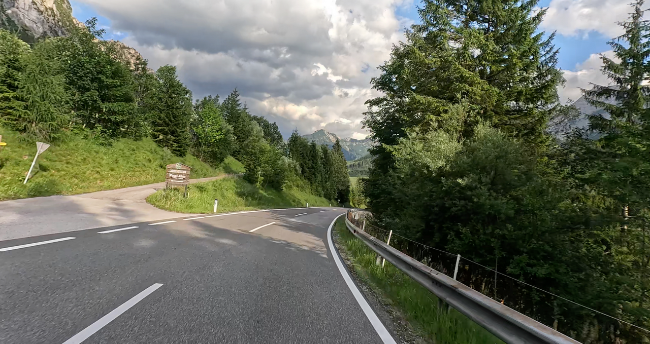
It separates the Reichraminger Hintergebirge from the Haller Mauern. The road over the pass is well-maintained – it connects the town of Windischgarsten with the villages of Oberlaussa and Unterlaussa, which lie partly in Styria and partly in Upper Austria, and the Styrian market town of Altenmarkt.
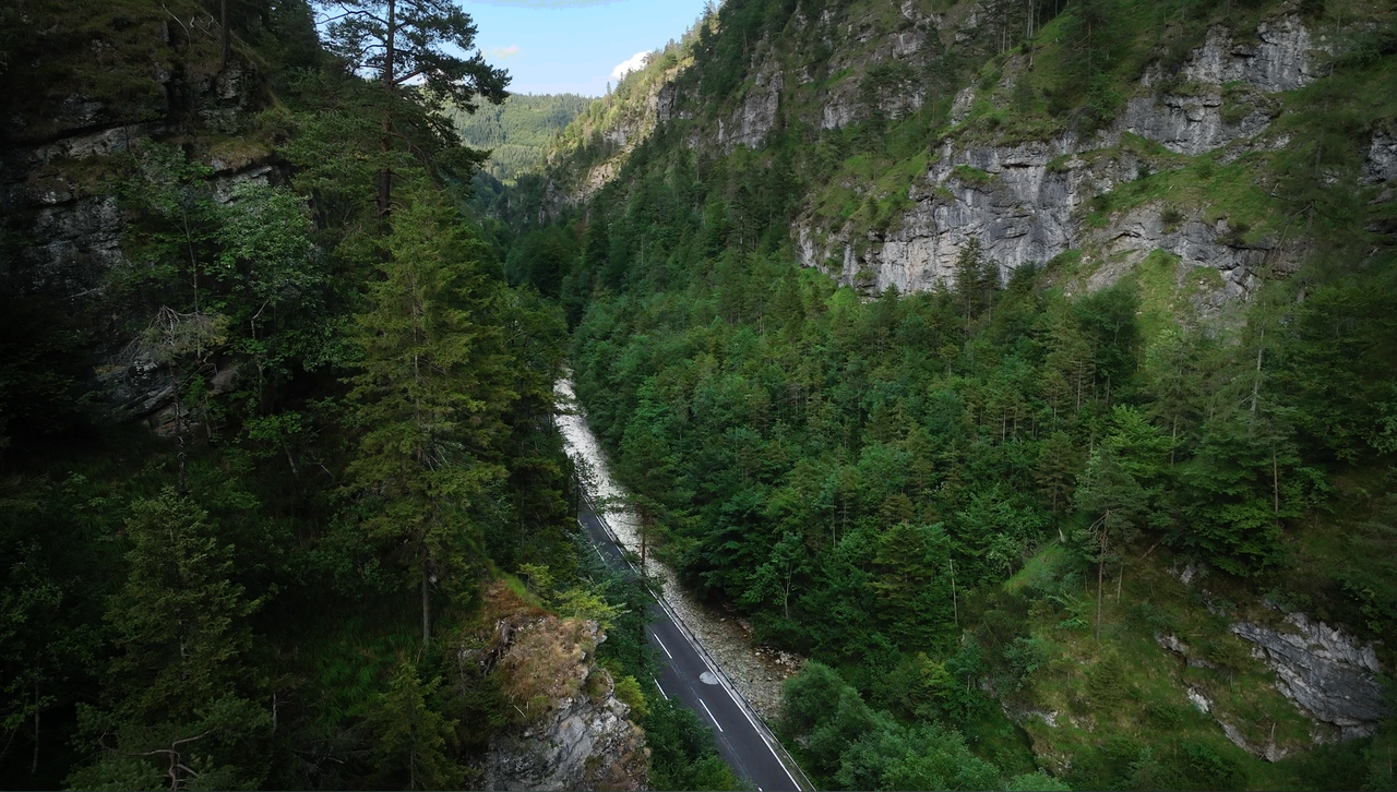
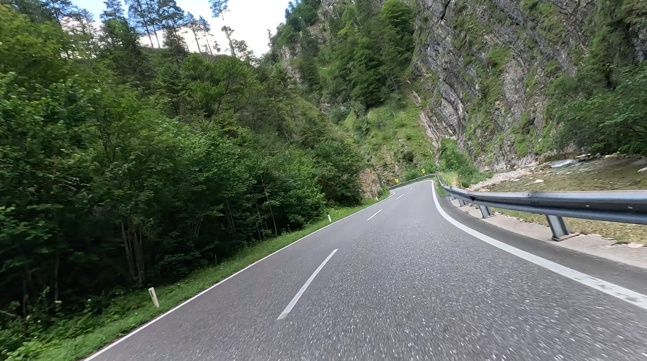
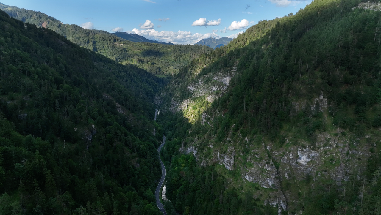
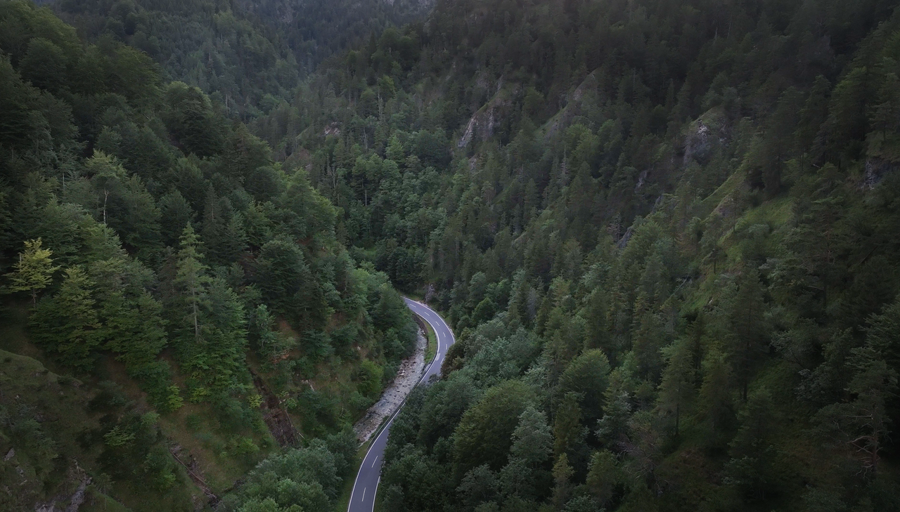
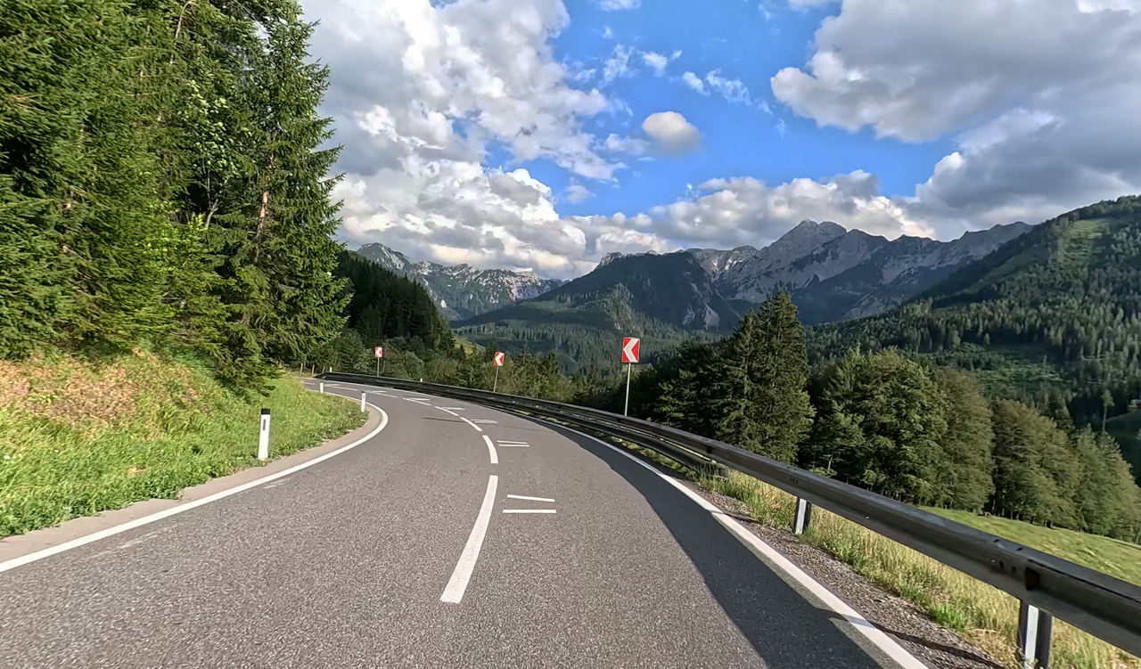
The eastern approach to the Hengst Pass offers an interesting route – it ends in a long, deep and winding valley. The mountain slopes in this section rise steeply and majestically.
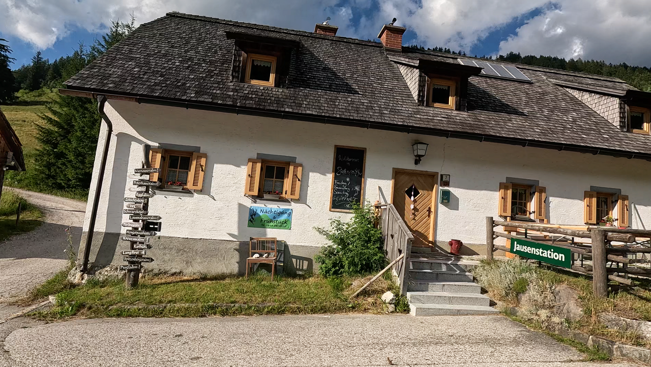
Tip: The Zickerreith Alpine Inn, just below the pass summit on the western side.
| Country | Österreich |
| Region | Steiermark |
| Coordinates | 47.70195340, 14.46070231 |
| Elevation | 965 m |
| Max. slope | 12 % |
| Toll road | no |
| Road surface | Asphalt |
| Cul-de-sac | no |
| Length | 35 Km |
| Travel time | Normal |
| Route | Windischgarsten Altenmarkt bei St. Gallen |
 overcast clouds, 15.7°C
Back to hotel
 Subscribe to Newsletter