


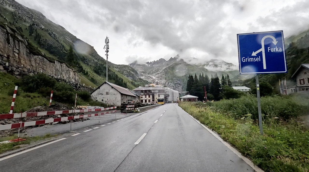
Grimselpass | 2165 METER | Innertkirchen Gletsch
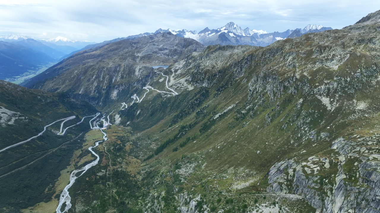
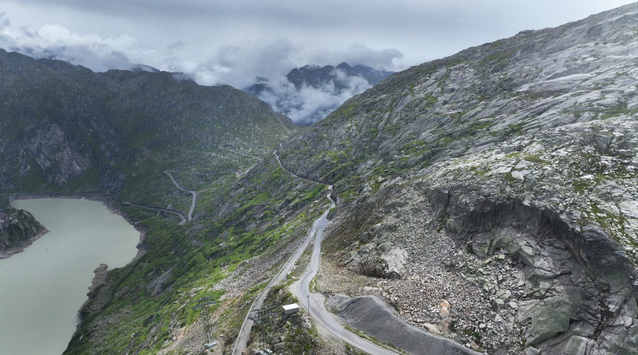
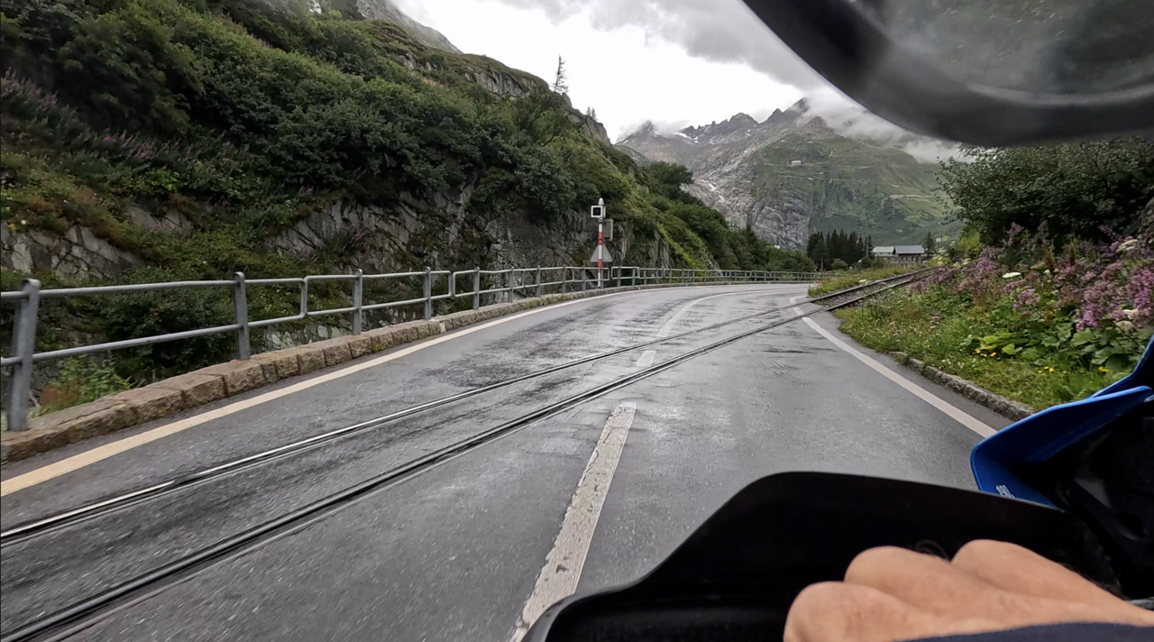
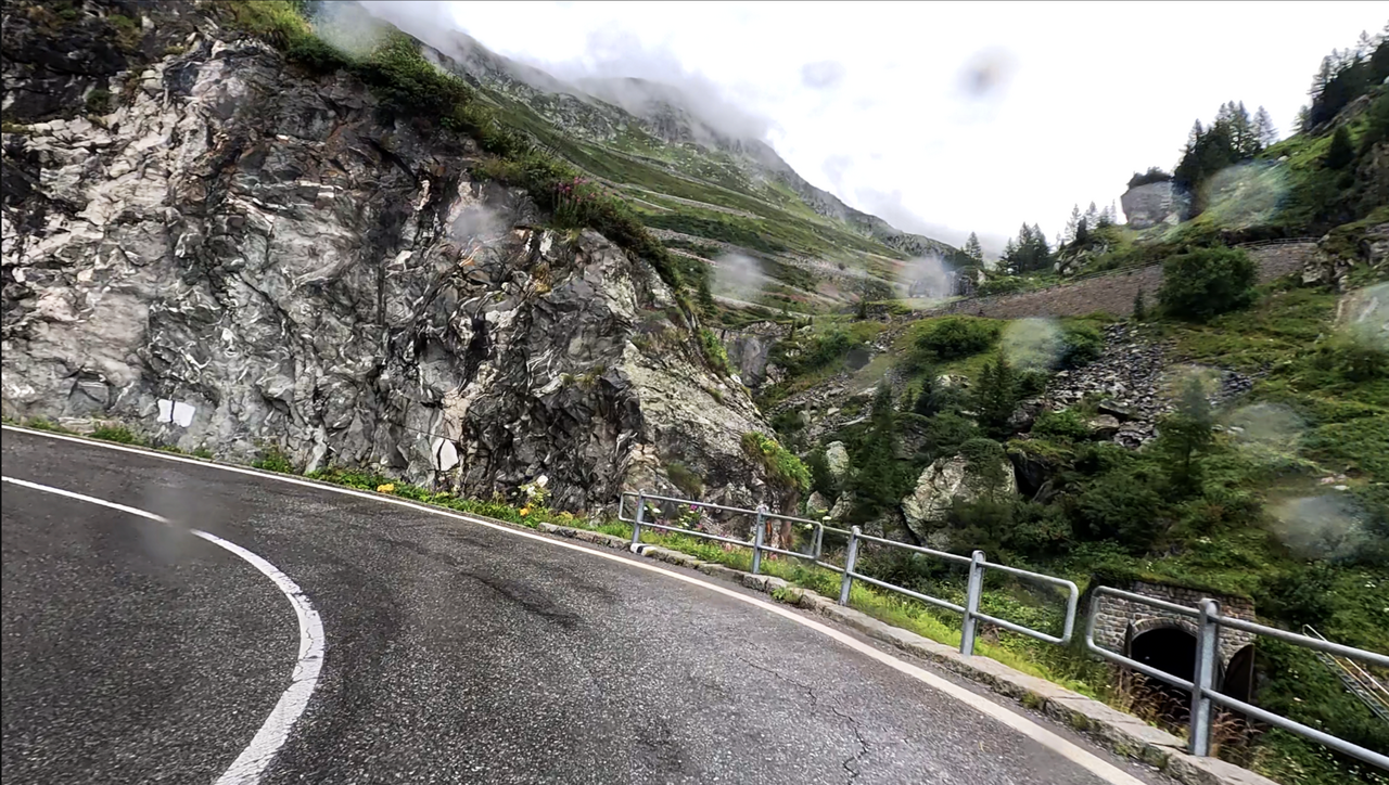
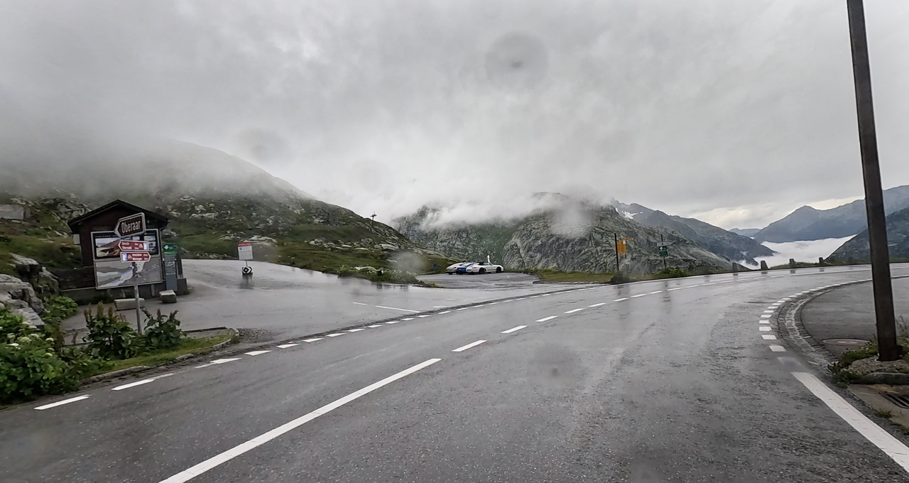
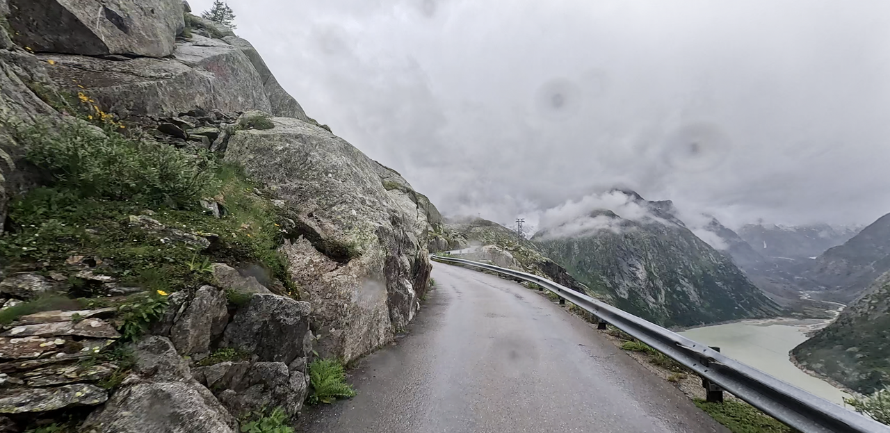
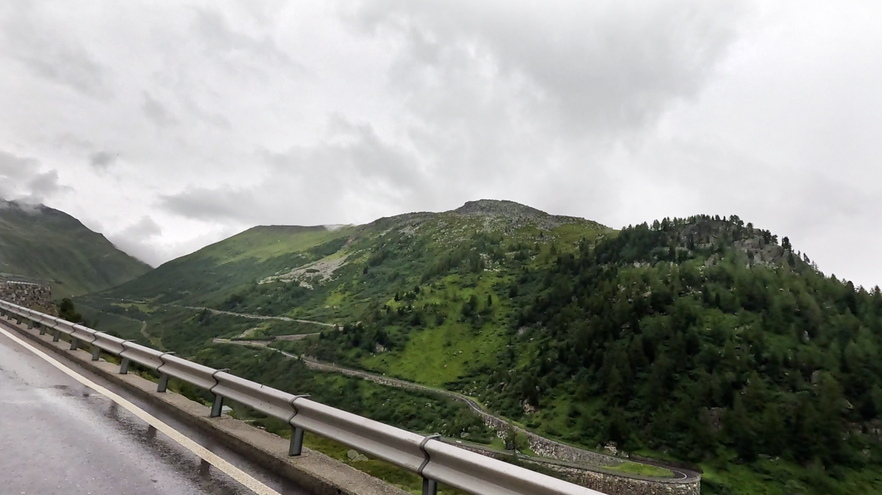
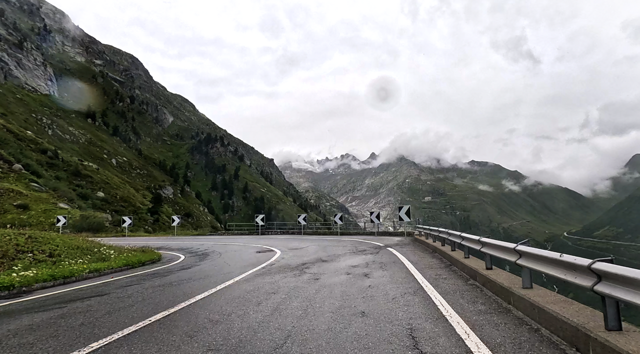
The Grimsel Pass is a Swiss Alpine pass in the Bernese Alps connecting the Bernese Oberland with the Upper Valais. The pass is 2,164 metres above sea level. The original mule track was upgraded in the 19th century to a modern, asphalted high Alpine road, which is open in summer and closed from October to May. On the south side, there is a view of the slightly higher Furka Pass and the Valais Alps. On the north side, the Oberaar Panoramastraße branches off, a narrow, single-lane road (controlled by traffic lights) with fantastic views of the surrounding mountain ranges and the Grimselsee.
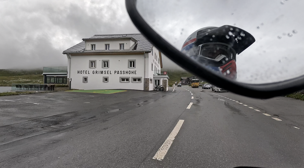
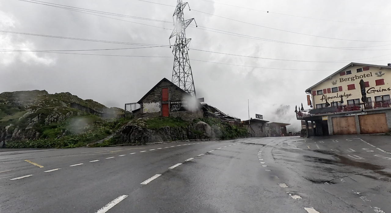
At the top of the pass, there are several hotels with restaurants around the idyllically situated Totensee lake. Also worth a visit: the ‘Murmeltierpark Grimselsee’.
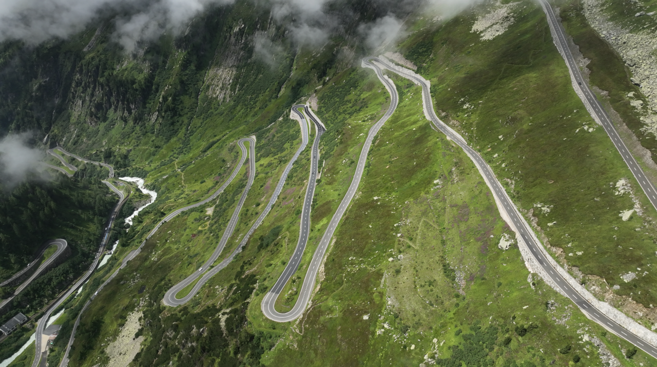
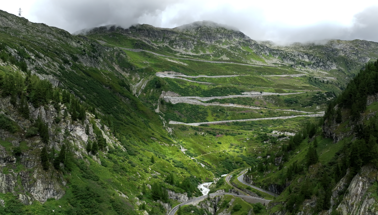
The winding road with several hairpin bends is well known. There are parking bays in the bends on the east side. Here you can see the Furka Pass to the east, its famous hotel in the top hairpin bend, the Rhone Glacier and Lake, and the Rhone Waterfall. In combination with the nearby Furka Pass and the Oberaar Panoramic Road, you can put together a very varied motorcycle tour. The best way to plan your trip is to use the interactive Alpine Passes Atlas. Plan your route, include sights and hotels, share tour information, create road maps and download GPS data. Free of charge.
Tip: Take a ride on the ‘Furka Steam Train’, a metre-gauge rack railway that climbs up the gorges of the Grimsel Pass and over the Furka Pass.
Our tip for motorbike tours suitable for this Alpine pass – tour description, roadmap and GPS data here ...
Videos
Suggested videos (Passtracks close by)
| Country | Schweiz |
| Region | Wallis |
| Coordinates | 46.56235651, 8.33941145 |
| Elevation | 2165 m |
| Max. slope | |
| Toll road | no |
| Road surface | Asphalt |
| Cul-de-sac | no |
| Length | 29 Km |
| Travel time | Normal |
| Route | Innertkirchen Gletsch |
 overcast clouds, 15.5°C