


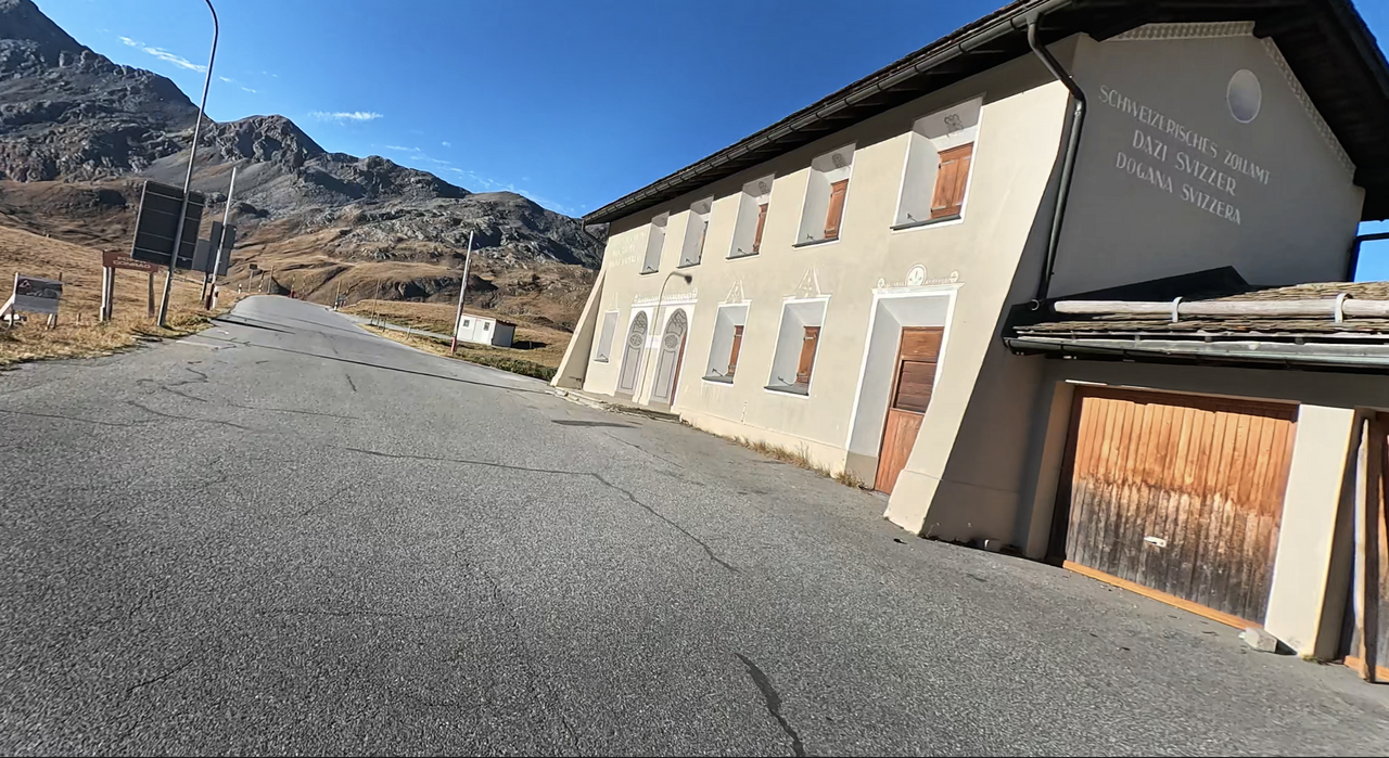
Umbrailpass | 2501 METER | Santa Maria Grenzübergang
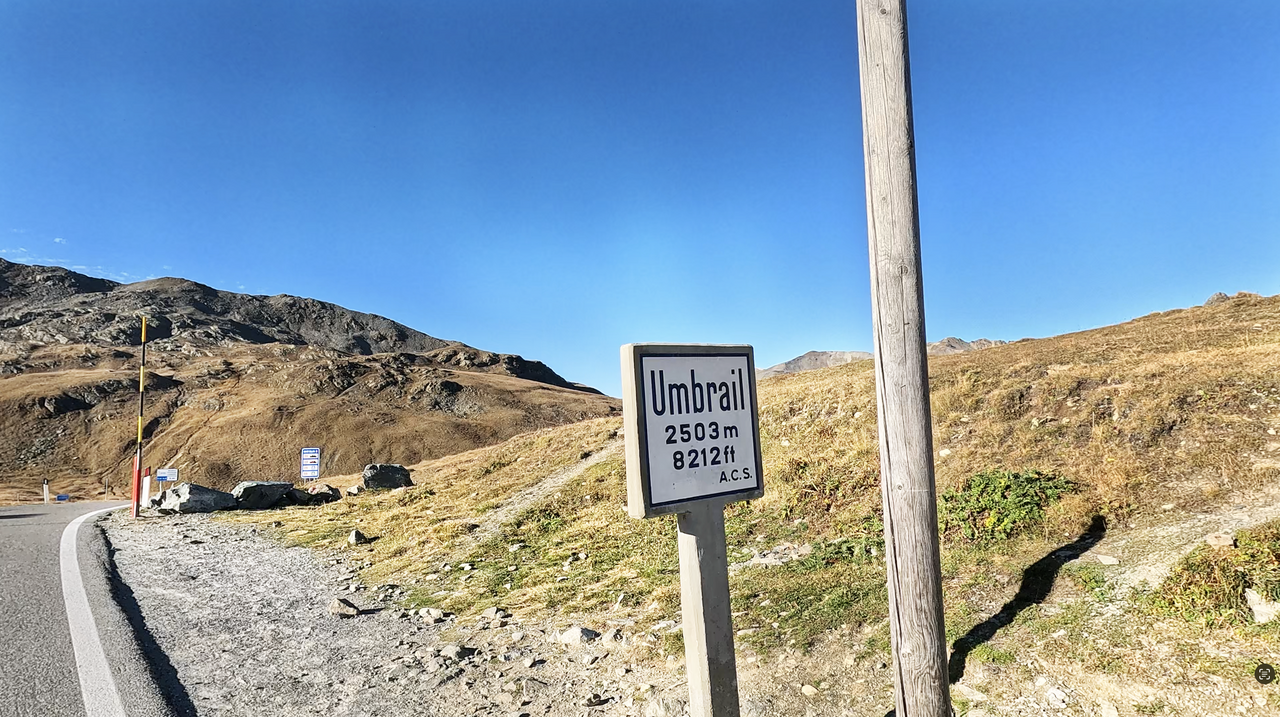
The Umbrail Pass is a Swiss Alpine pass. It lies at an altitude of 2,501 metres, making it the highest paved Alpine pass in Switzerland. The sign at the pass indicates an altitude of 2,503 metres, but because the reference point for altitude measurements in Switzerland has changed, the lower altitude is correct according to the current measurement method.
The Umbrail Pass is named after Piz Umbrail, a peak near the Alpine pass.
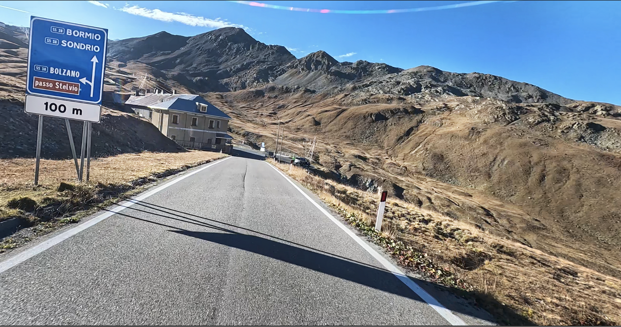
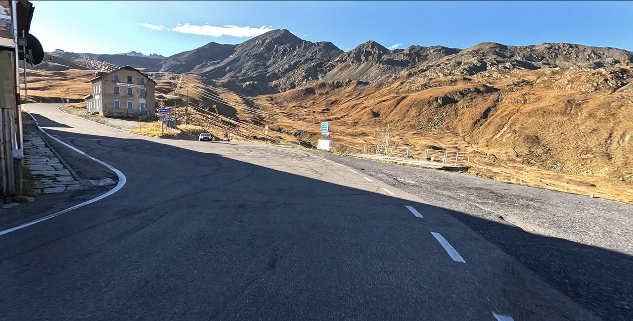
The Umbrail Pass is also a third ramp to the Stelvio Pass. A few hundred metres after the border, on the Italian side, the road joins the western ramp to the Stelvio Pass – downhill, the road leads to Bormio, and uphill, it is three kilometres to the top of the Stelvio Pass.
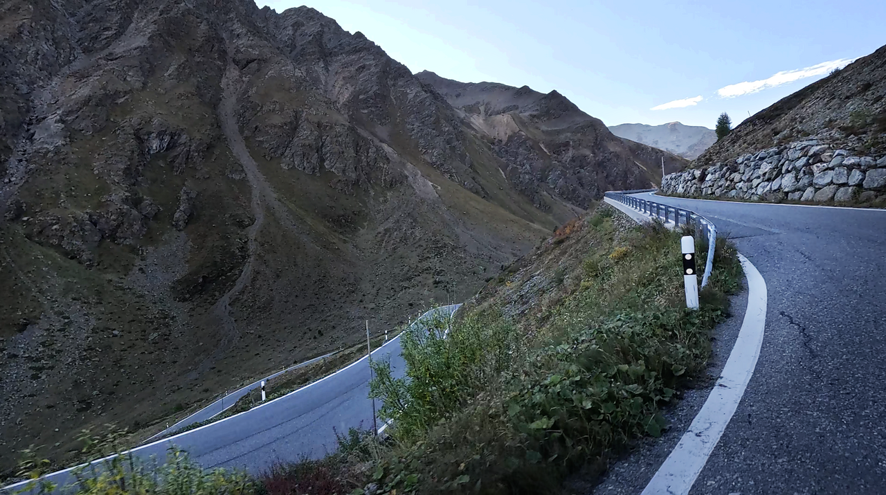
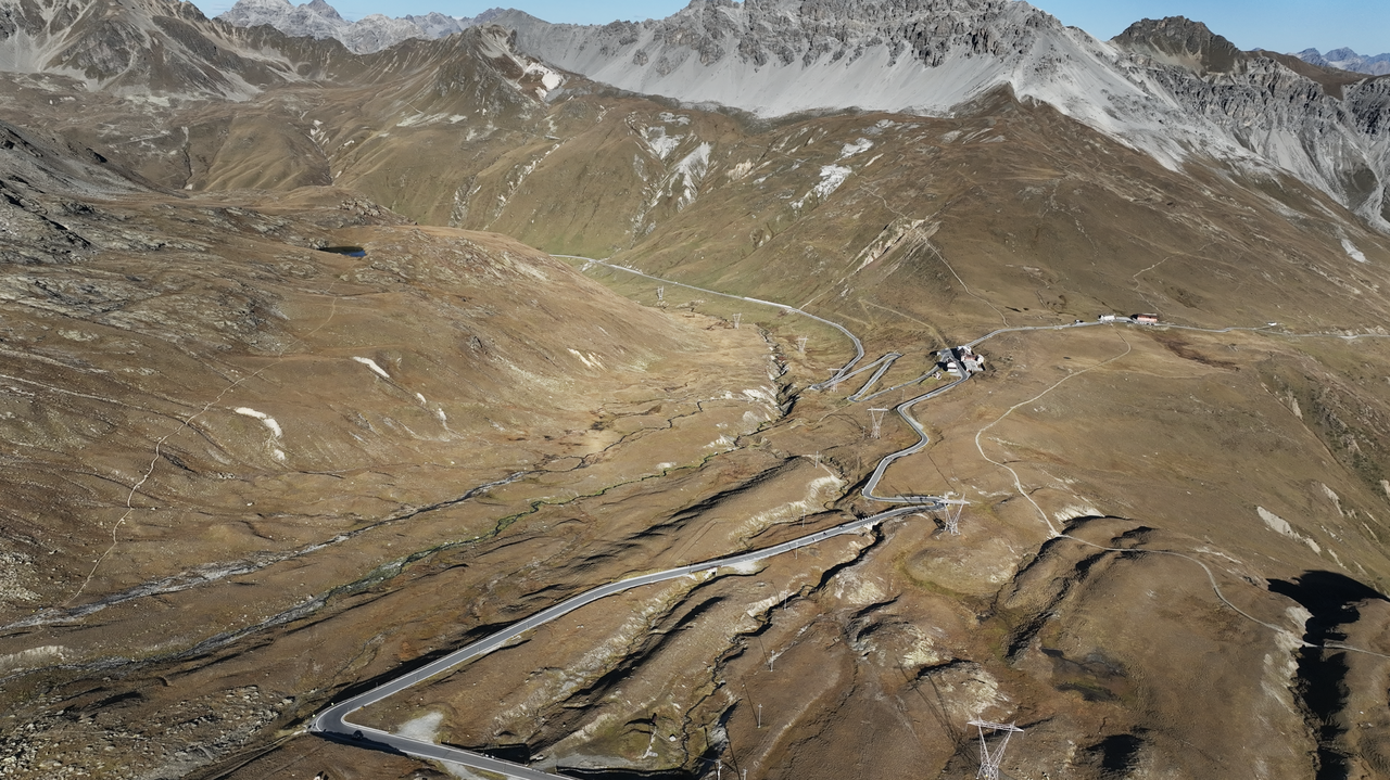
This makes the Umbrail Pass an interesting alternative to motorbike tours over the Stelvio Pass, especially on busy days. With more than 30 hairpin bends and curves, some of which are narrow and steep, the Umbrail Pass can absolutely compete with the two ramps of the Stelvio Pass.
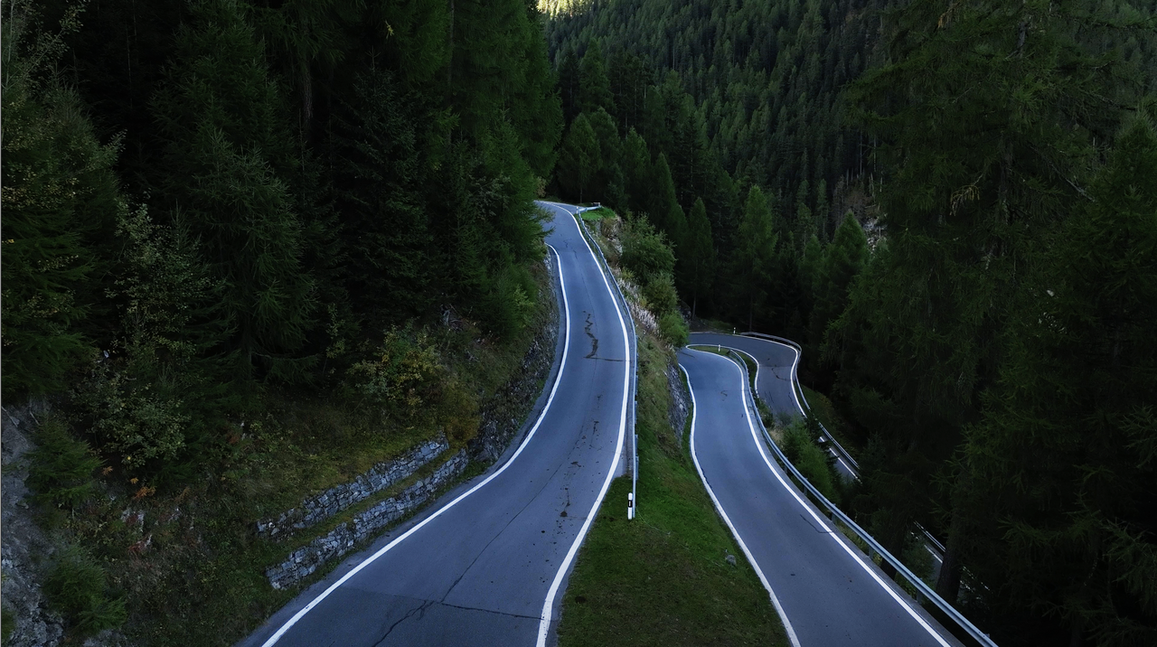
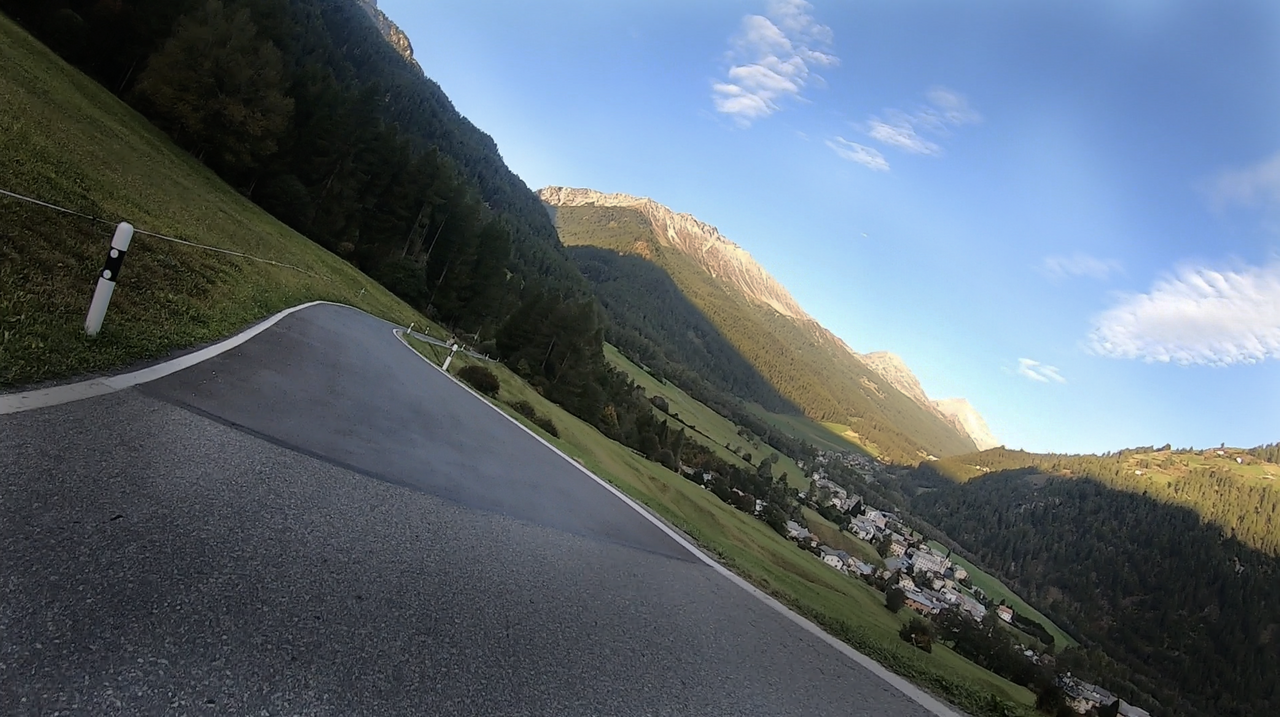
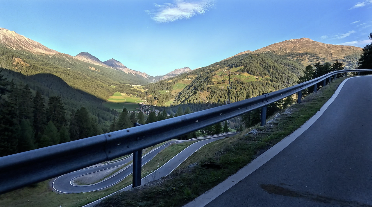
Shortly after Santa Maria, the starting or finishing point of the Umbrail Pass in Val Müstair, the first hairpin bends begin – hairpin bends that include some steep passages. The curve radius is also in no way inferior to the ‘famous’ hairpin bends of the eastern ramp of the Stelvio Pass.
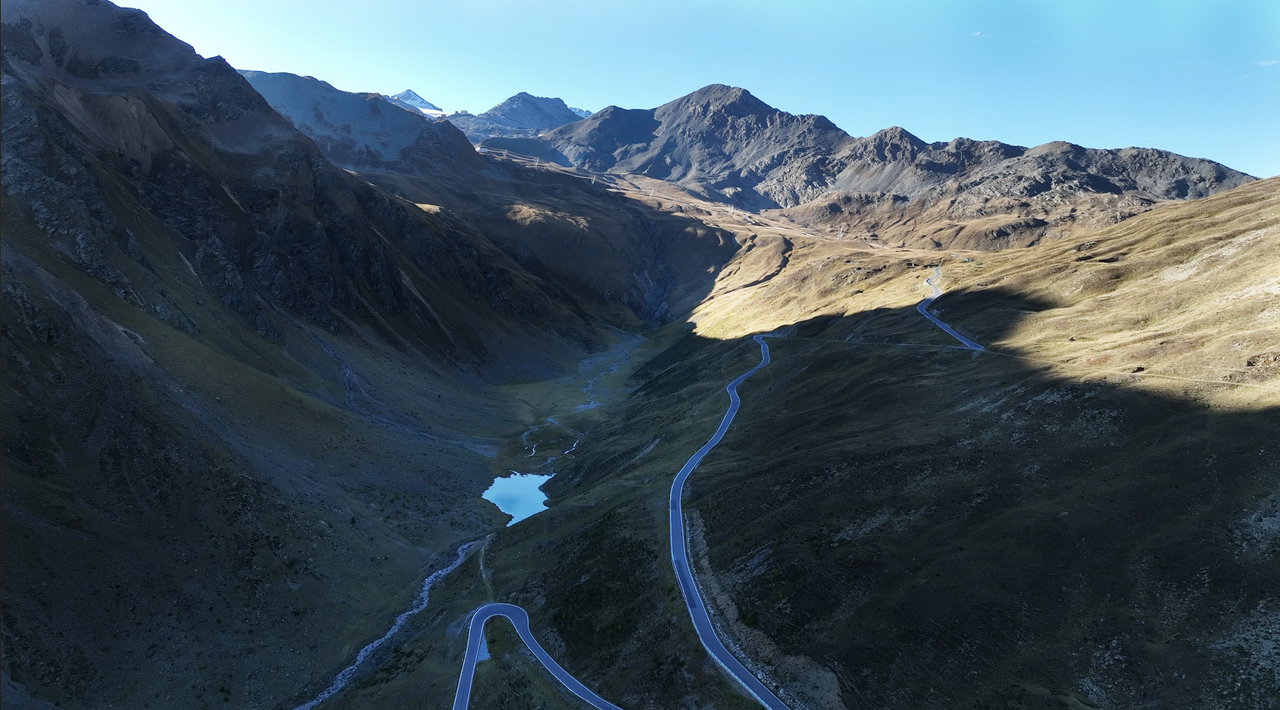
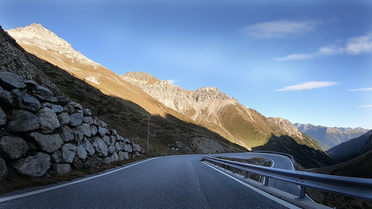
This passage is also located in a densely wooded area. Above the tree line, the route layout becomes more relaxed. The density of curves decreases and the road also becomes slightly wider. And what's more, the view becomes increasingly magnificent.
The high plateau can be seen from afar, leading further up to the Stelvio Pass after the border.
A tip for motorbike tours: a round trip around the Stelvio Pass can be perfectly planned to include the Umbrail Pass, the Ofen Pass, Livigno, the free trade zone, the Passo d'Eira and the Passo di Foscagno. This creates a day trip with varied routes, legendary hairpin bends and, perhaps, a short stop in Livigno, where you can not only fill up your tank at a reasonable price.
Try our motorbike tour planner, the digital, interactive Alpine Pass Atlas.
Videos
Suggested videos (Passtracks close by)
| Country | Schweiz |
| Region | Graubünden |
| Coordinates | 46.54170000, 10.43330000 |
| Elevation | 2501 m |
| Max. slope | 12 % |
| Toll road | no |
| Road surface | Asphalt |
| Cul-de-sac | no |
| Length | 13 Km |
| Travel time | Normal to slow |
| Route | Santa Maria Grenzübergang |
 broken clouds, 15.6°C
Hotels close by