


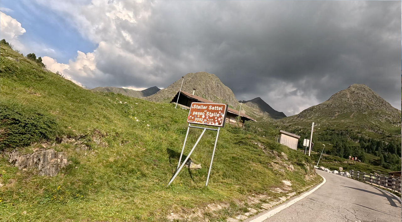
Staller Sattel | 2052 METER | St. Jakob im Defereggental Rasen-Antholz
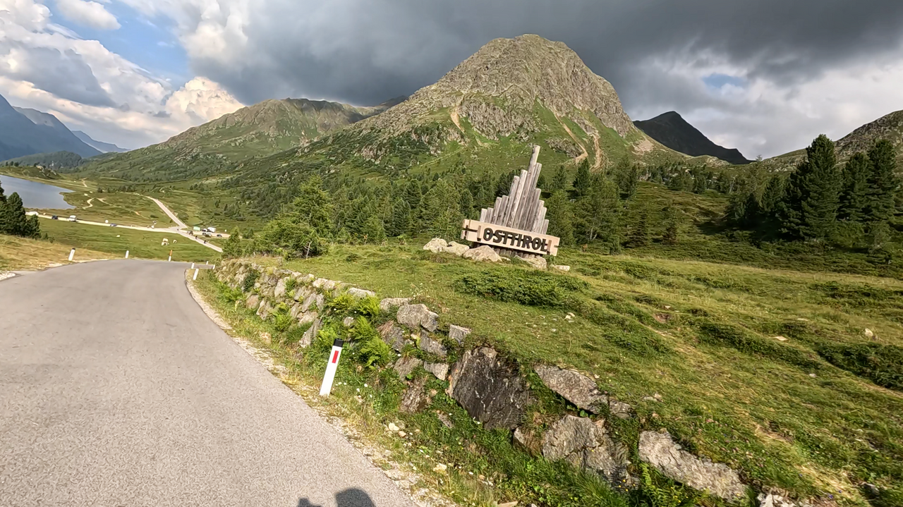
The Staller Saddle is a mountain pass in the Eastern Alps. It connects the Defereggen Valley with the Antholz Valley and separates the Rieserfern Group from the Villgraten Mountains. The pass summit is located at 2,052 metres above sea level on the border between Austria and Italy. The pass is only open from mid-May to the end of October, from 5:30 a.m. to 10:15 p.m.
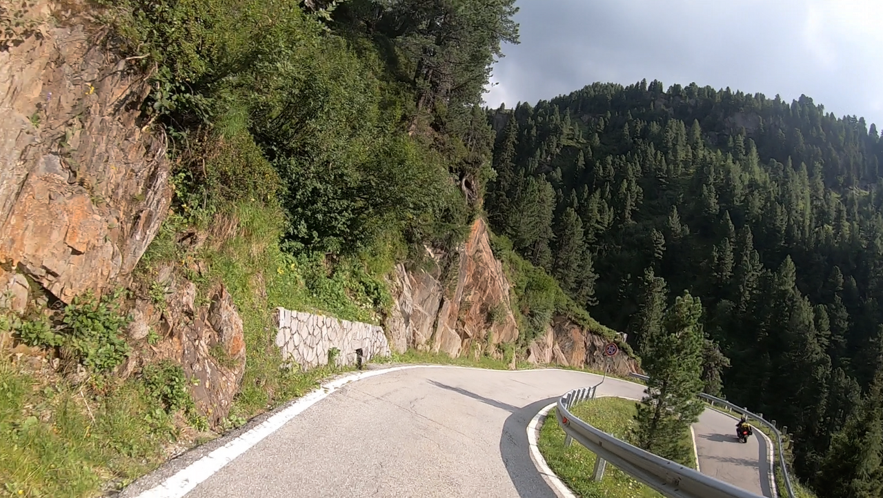
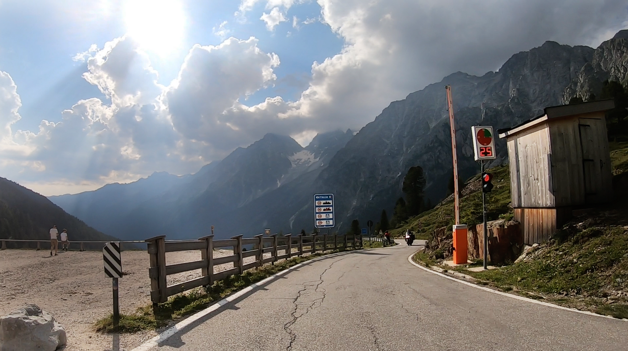
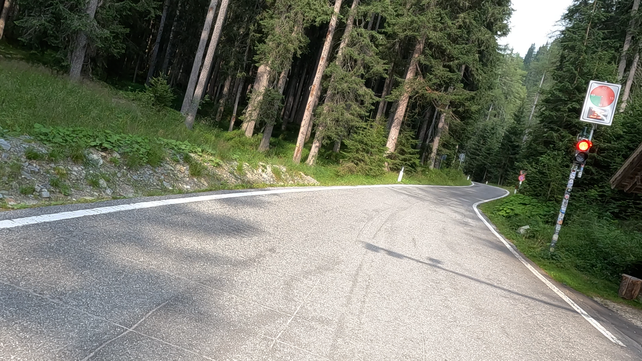
On the Italian side, there is a one-way system due to the narrow road width, as well as a traffic ban for caravans and buses. The journey from Obersee (Austria) towards Italy is possible from the 0th to the 15th minute, the journey from Antholzer See towards Austria from the 30th to the 45th minute of the hour. A corresponding traffic light system is in place.
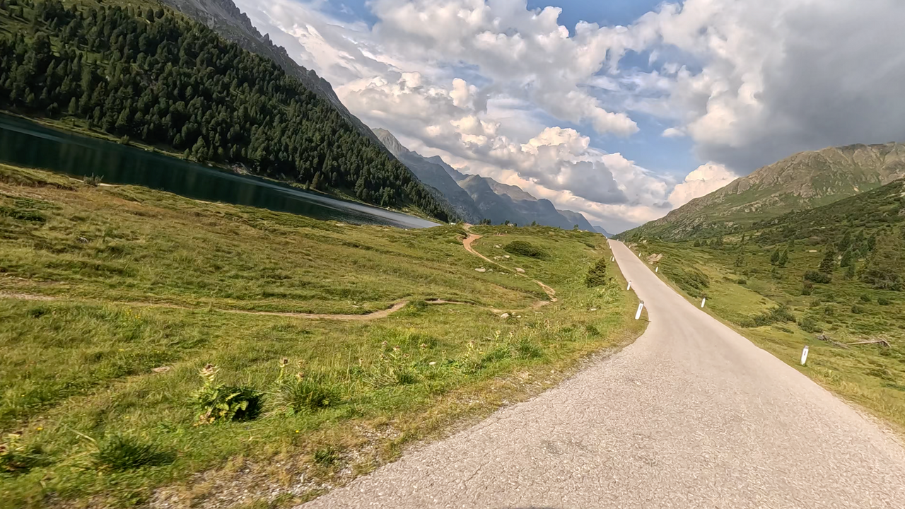
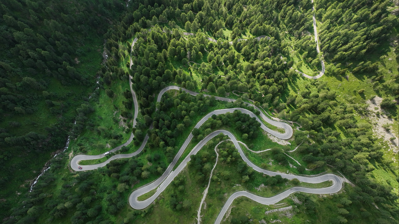
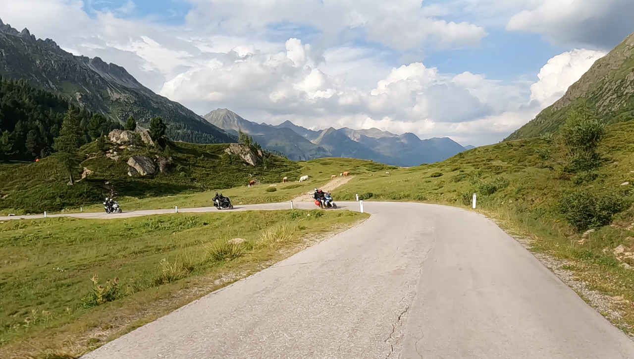
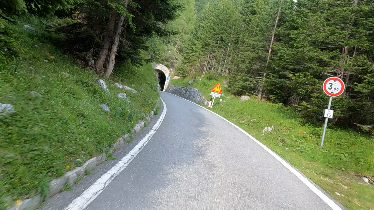
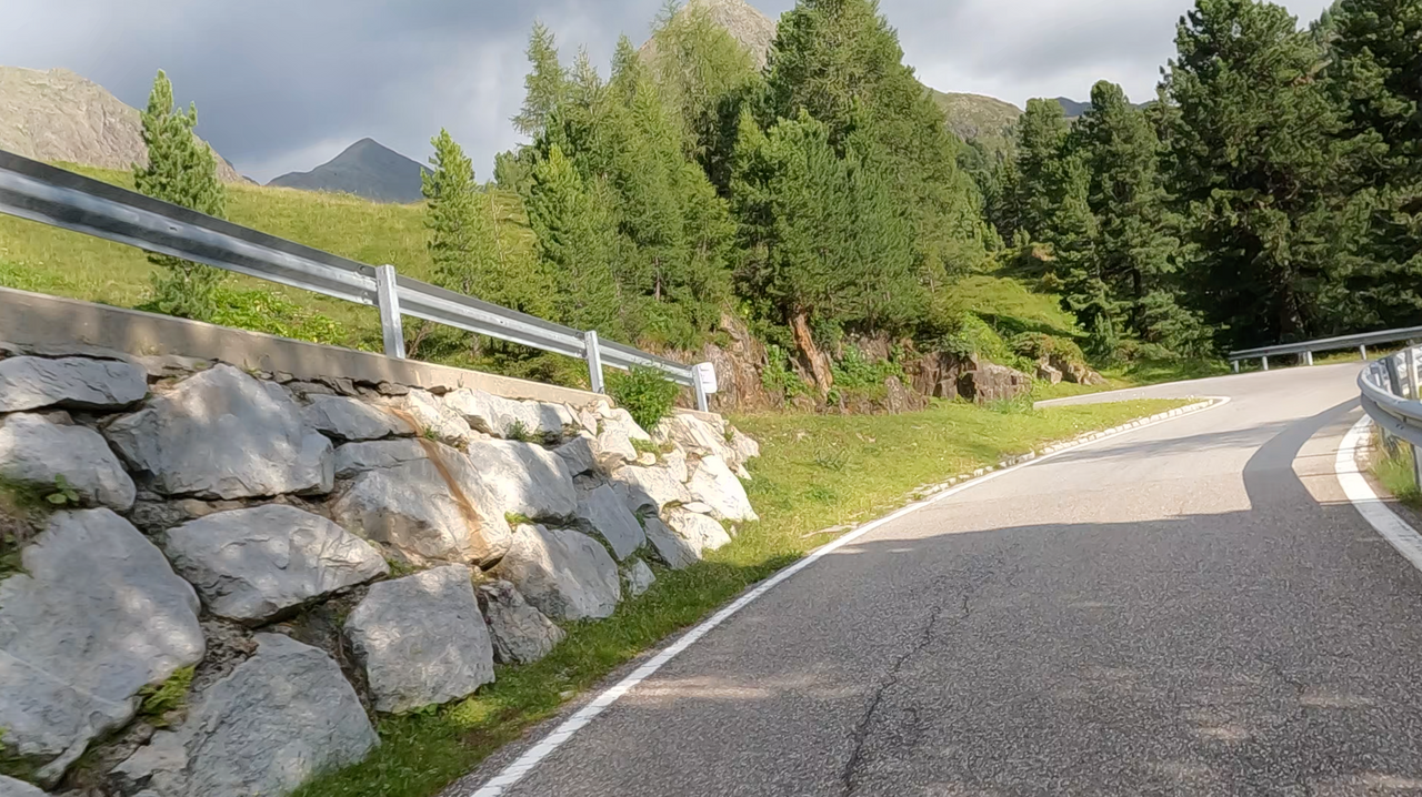
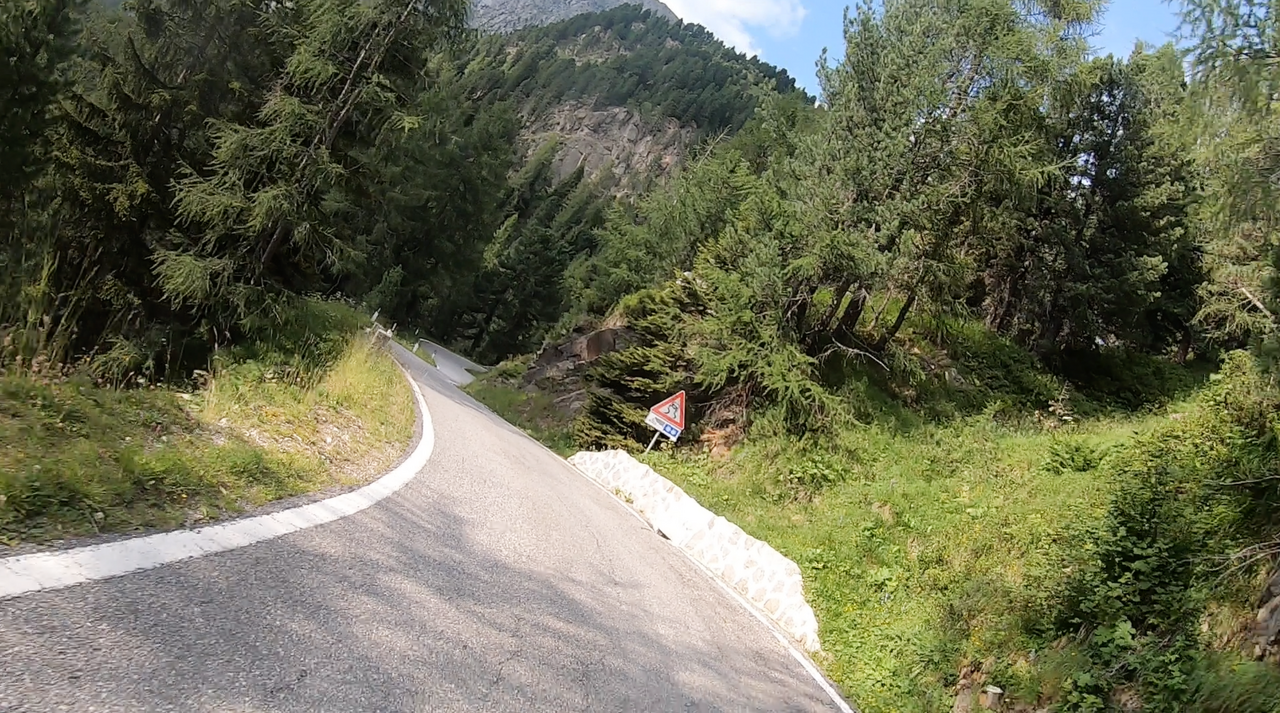
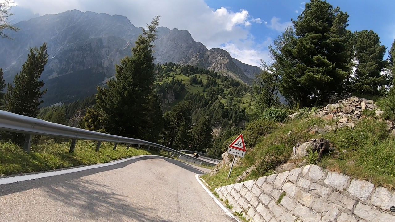
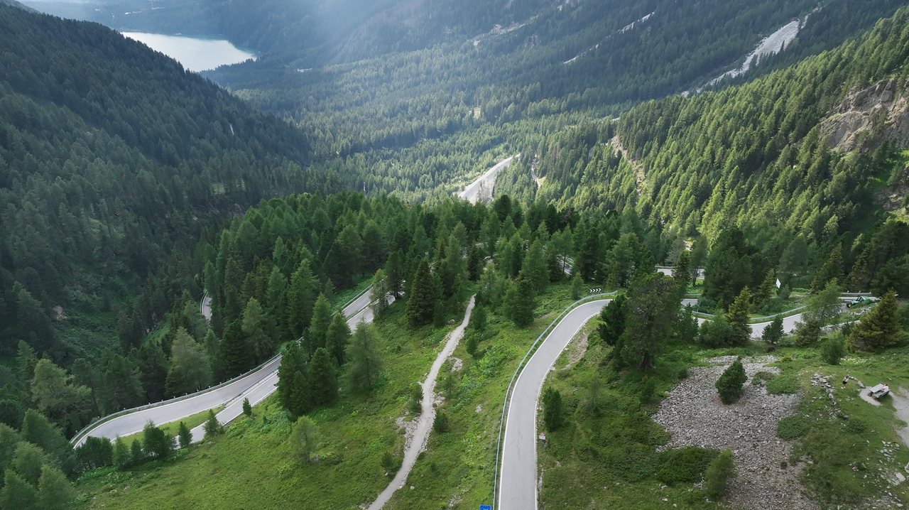
The single-lane road on the Italian side offers plenty of driving fun – lots of tight bends at over 400 metres of altitude up to the apex. On the Austrian side, the road is wider and the bends are more spacious.
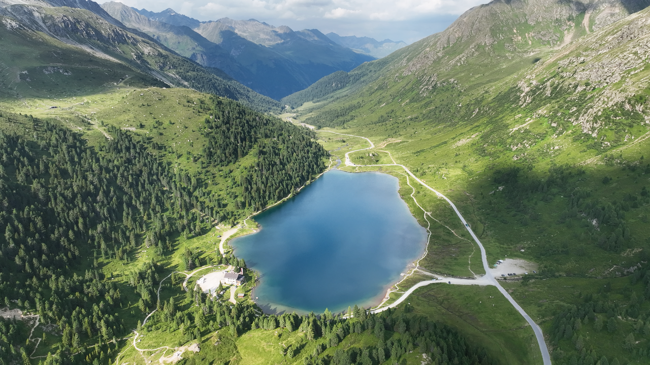
At the pass on the Austrian side, there is a small lake that invites you to take a break.
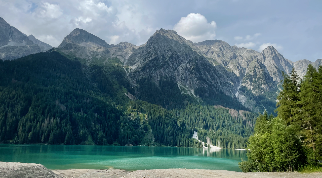
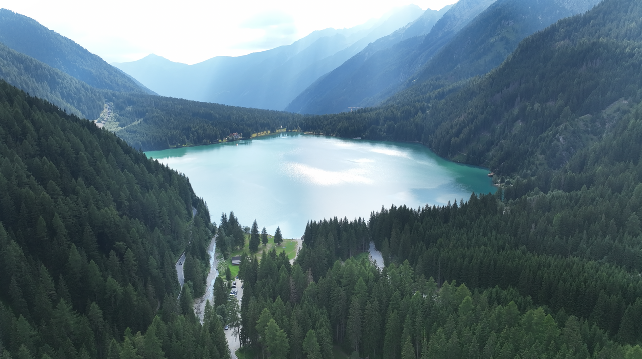
On the Italian side, just below the traffic lights and single-lane road, is Lake Antholz. The lake offers a range of recreational opportunities, from restaurants to a circular hiking trail around the lake. Unfortunately, the lake is very cold and therefore unsuitable for swimming.
| Country | Österreich |
| Region | Tirol |
| Coordinates | 46.88780000, 12.19940000 |
| Elevation | 2052 m |
| Max. slope | |
| Toll road | no |
| Road surface | Asphalt |
| Cul-de-sac | no |
| Length | 49 Km |
| Travel time | Normal to slow |
| Route | St. Jakob im Defereggental Rasen-Antholz |
 clear sky, 23.2°C
Back to hotel