

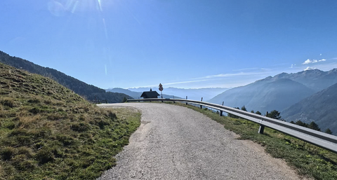





Passo Redebus | 1455 METER | Centrale Sant'Orsola Terme
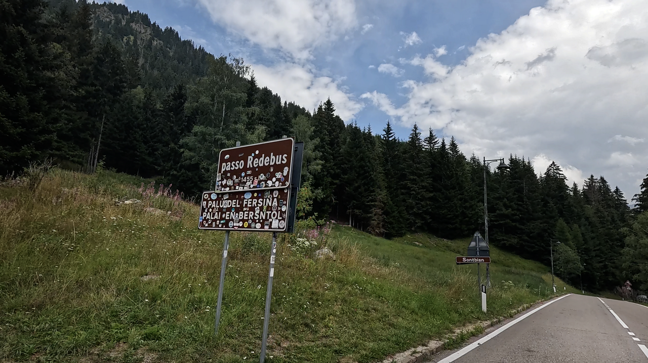
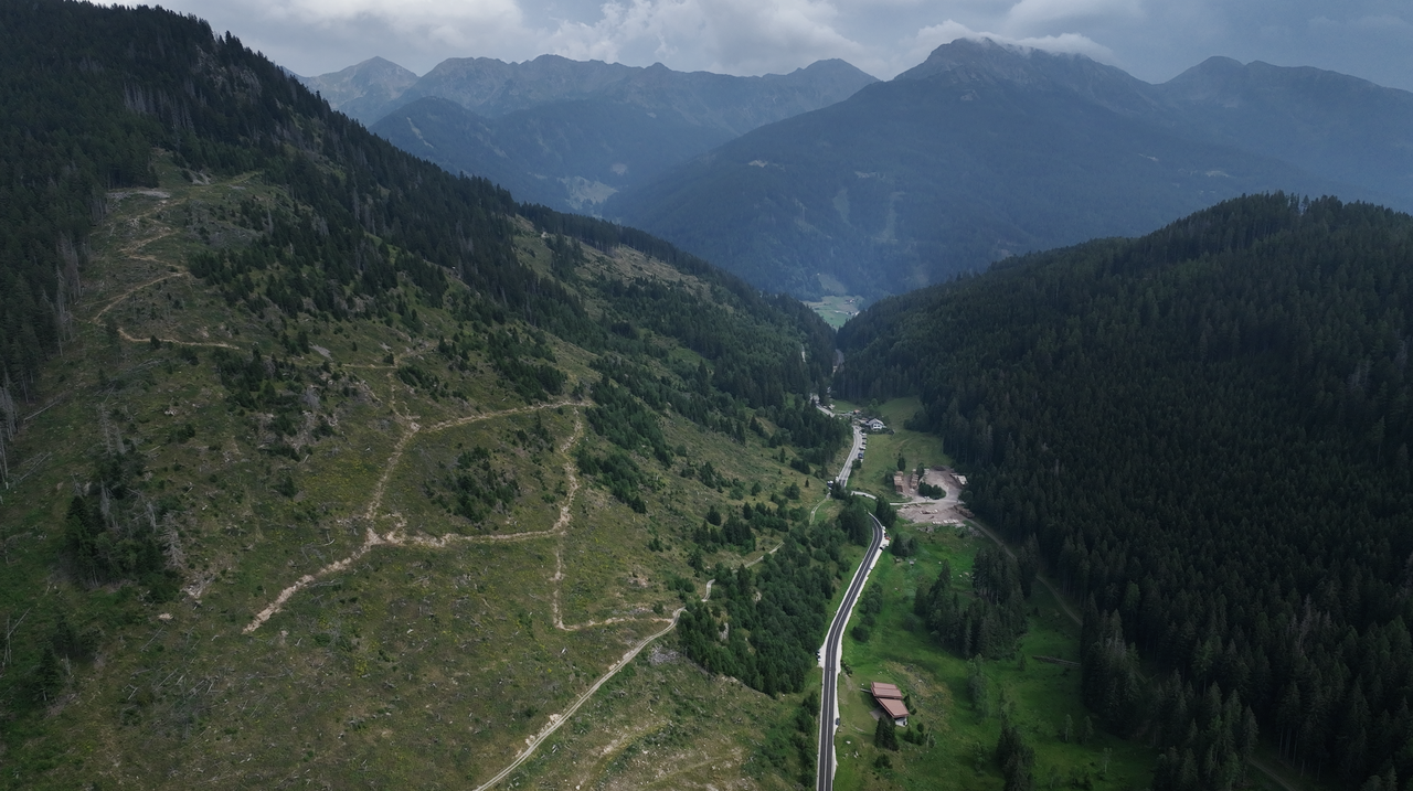
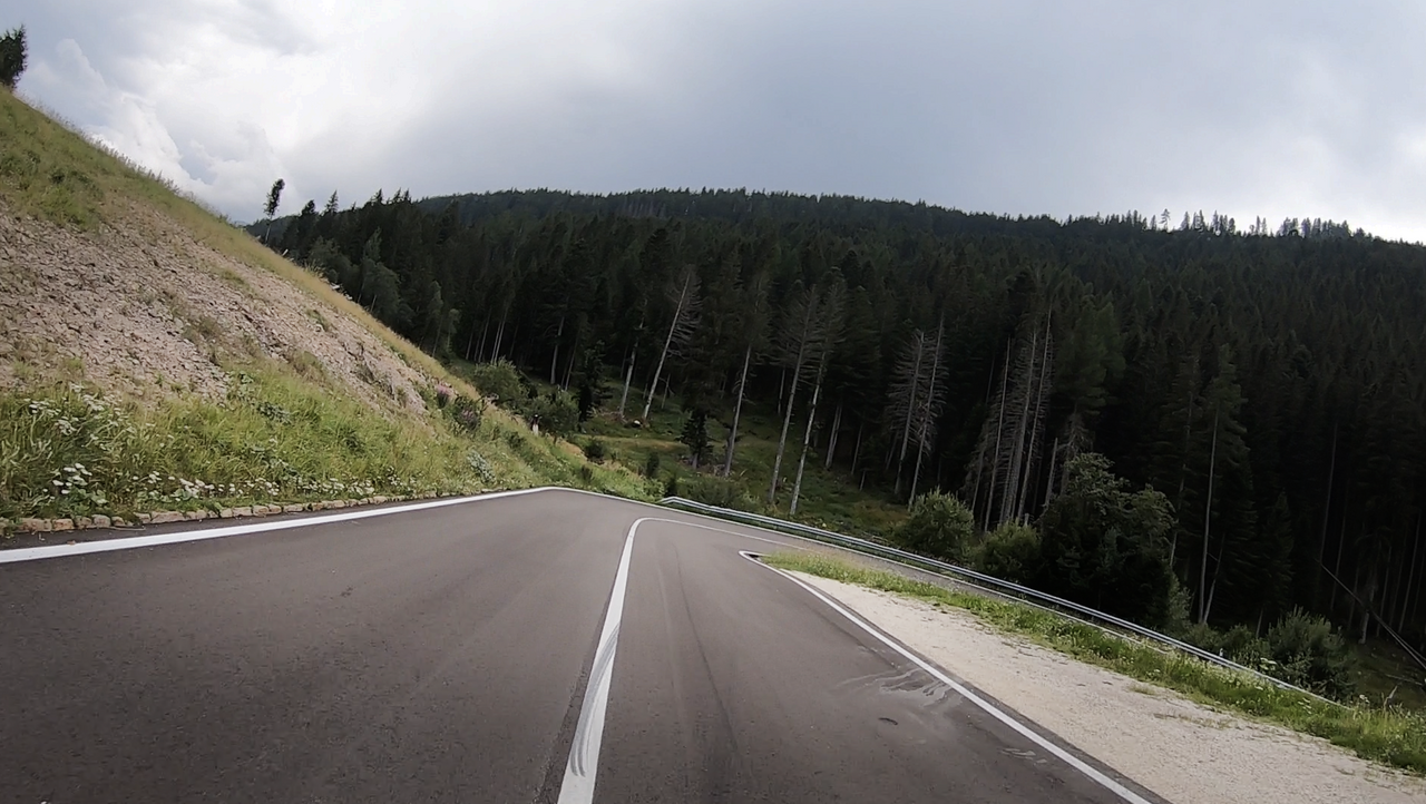
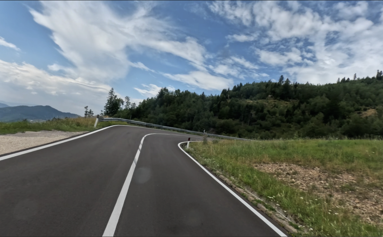
The Passo Redebus, at an altitude of 1,455 metres – sometimes also known as the Passo del Redebus – links the high-altitude Piné Valley (Altopiano di Piné) in the west with the picturesque Fersental Valley (Valle dei Mòcheni) in the east.
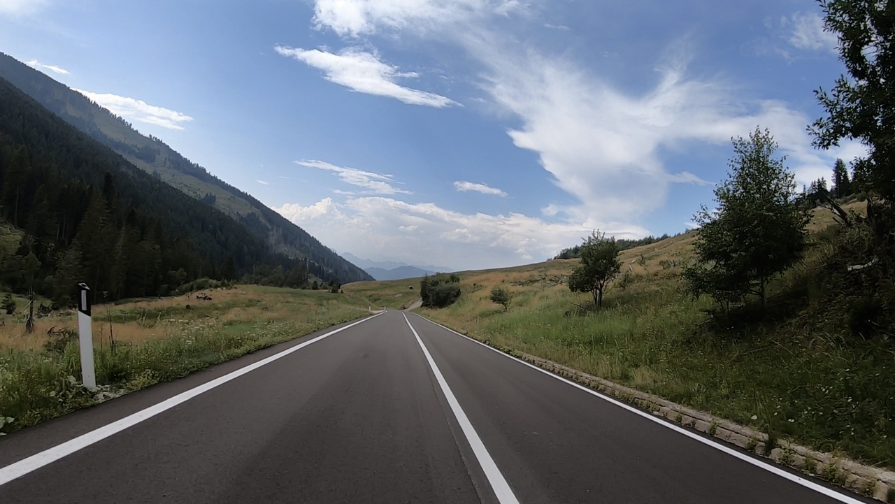
This Alpine pass sees little traffic, as it lies off the beaten track. The northern approach is winding but short and quick to cycle. The southern approach is slightly longer but just as quick to cycle. On the northern side, there is a fantastic view down into the Piné Valley and across the two very picturesque lakes, Lago delle Piazze and Lago delle Serraia. For this reason alone, but also because of the excellent local cuisine, a detour to this region is well worth it.
The northbound route continues eastwards via Molina and Cavalese – which in turn serves as a starting point for trips over the Manghen Pass or the Passi di Lavazé.
The southbound route continues via Fersen in the Sugana Valley to Lago di Caldonazzo.
Suggested videos (Passtracks close by)
| Country | Italien |
| Region | Trentino |
| Coordinates | 46.13589850, 11.32323204 |
| Elevation | 1455 m |
| Max. slope | 12 % |
| Toll road | no |
| Road surface | Asphalt |
| Cul-de-sac | no |
| Length | 12 Km |
| Travel time | Normal |
| Route | Centrale Sant'Orsola Terme |
 few clouds, 7.8°C
 Subscribe to Newsletter