






Passo Fittanze della Sega | 1393 METER | Erbezzo Sdruzzina
The official route over the Passo delle Fittanze della Sega, at 1,393 metres, runs north-south between the villages of Erbezzo (south) and Sdruzzina (north) in the Adige Valley.
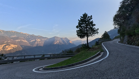
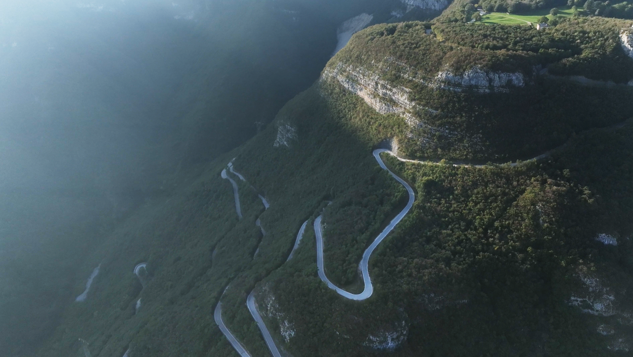
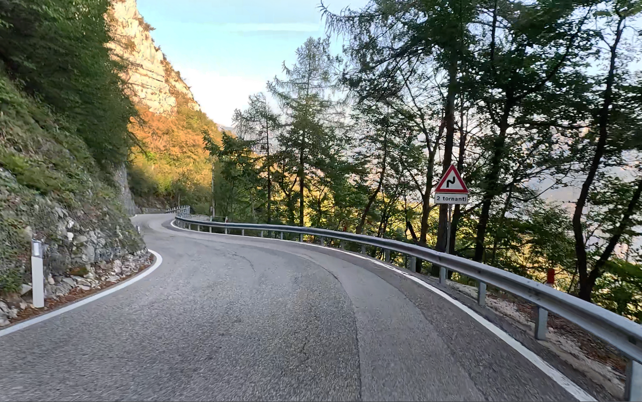
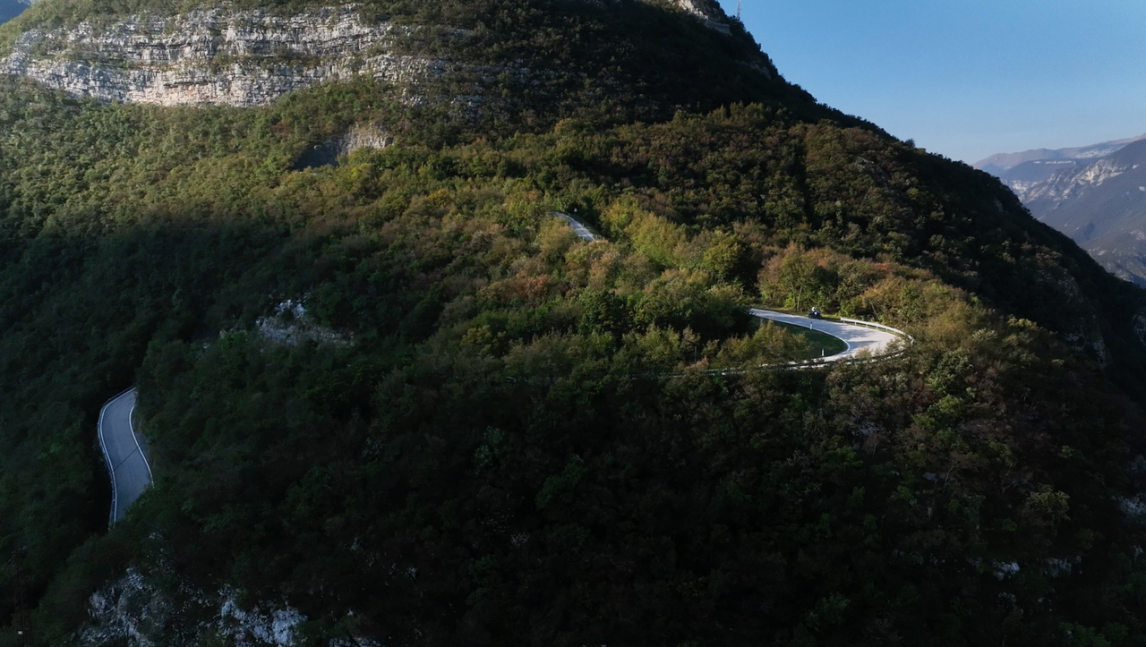
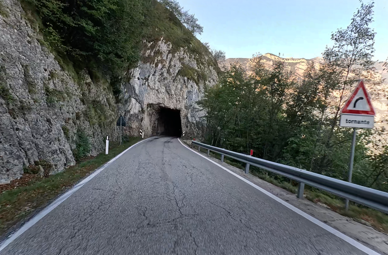
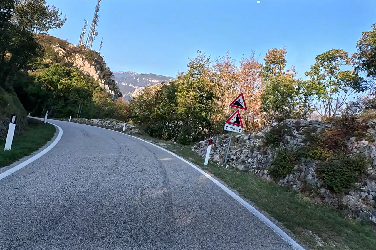
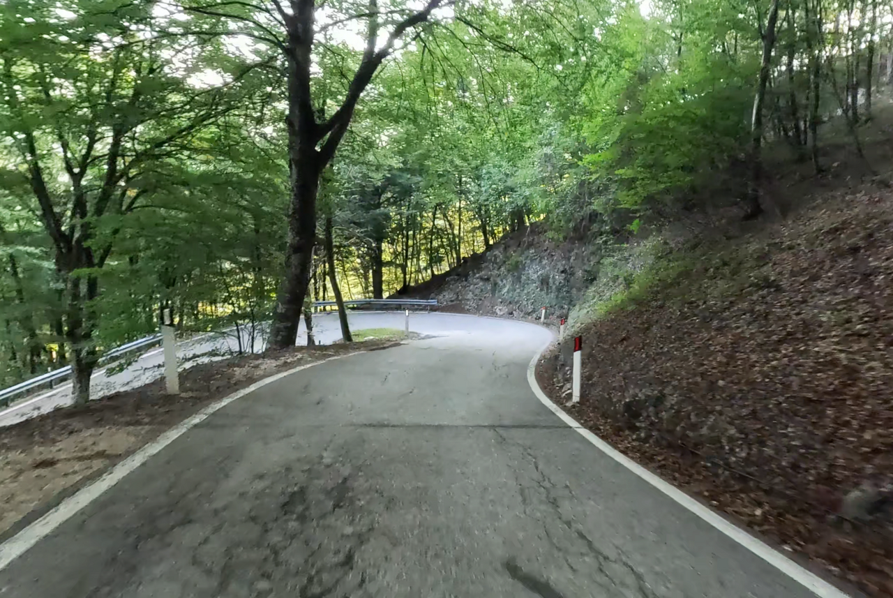
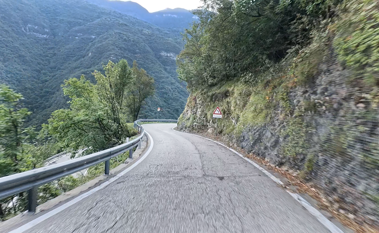
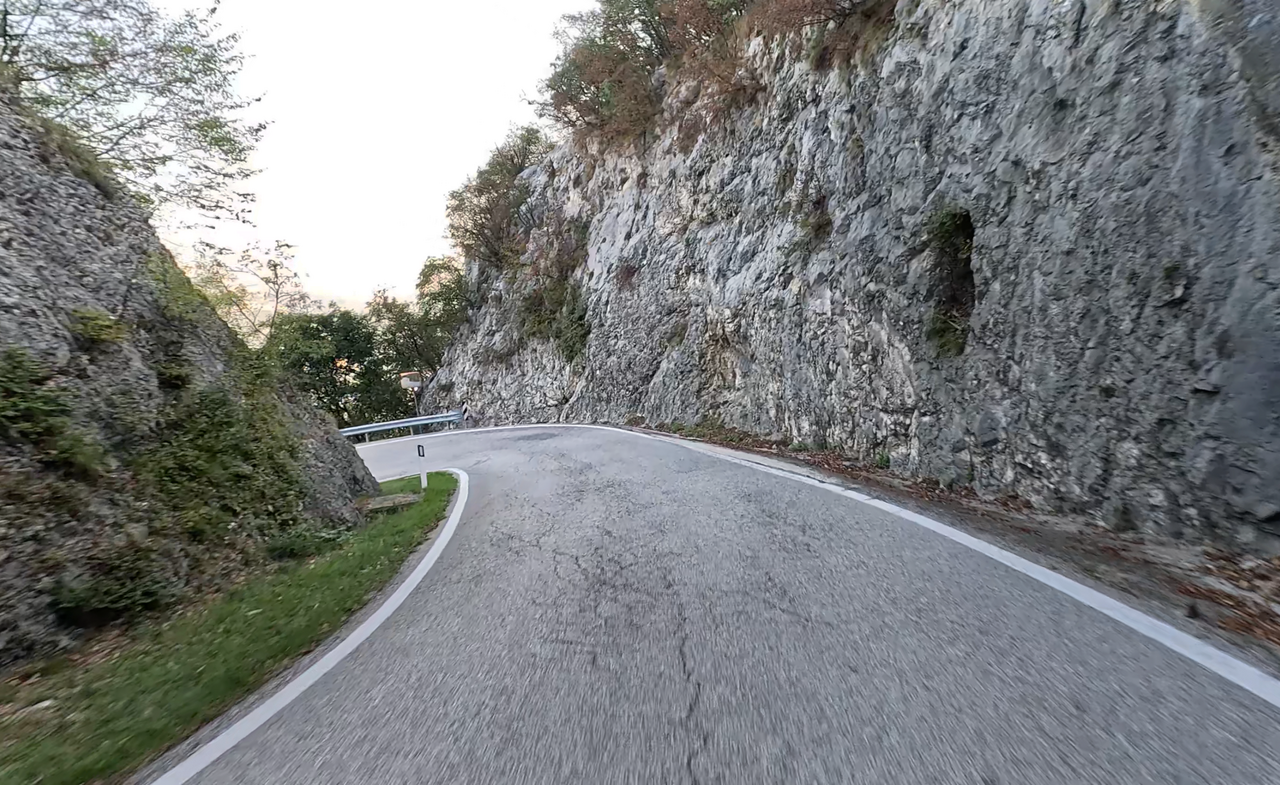
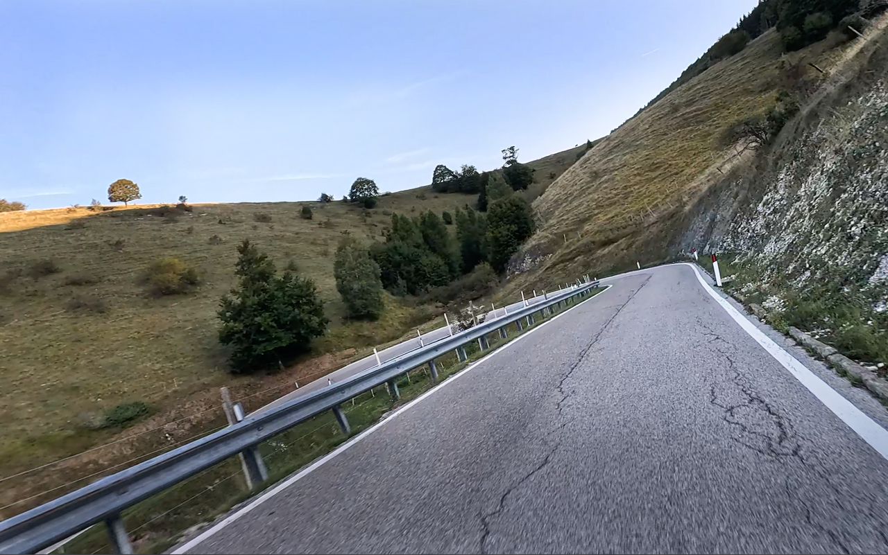
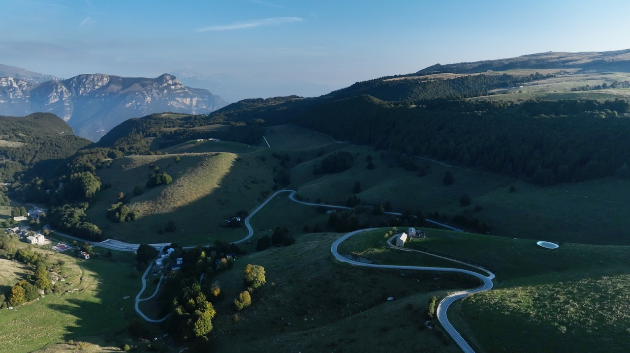
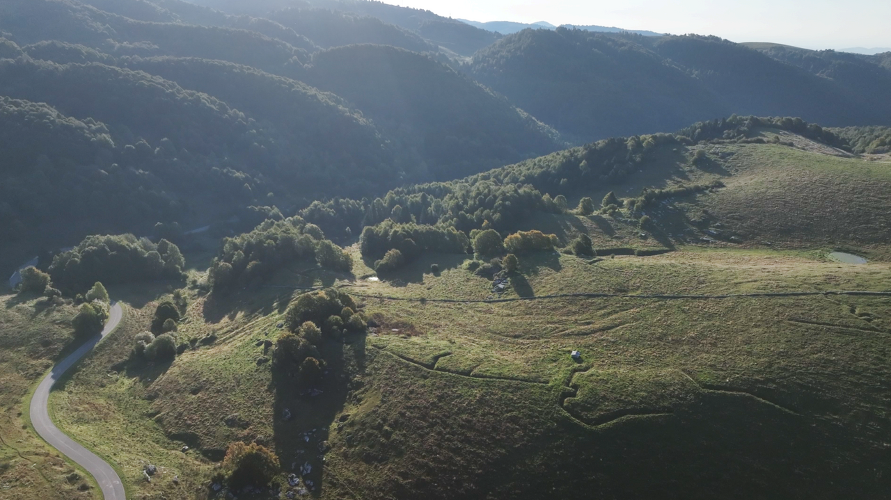
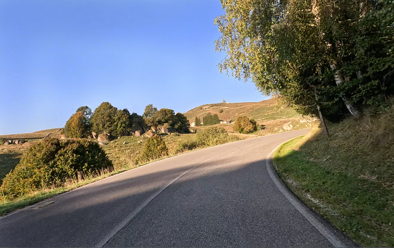
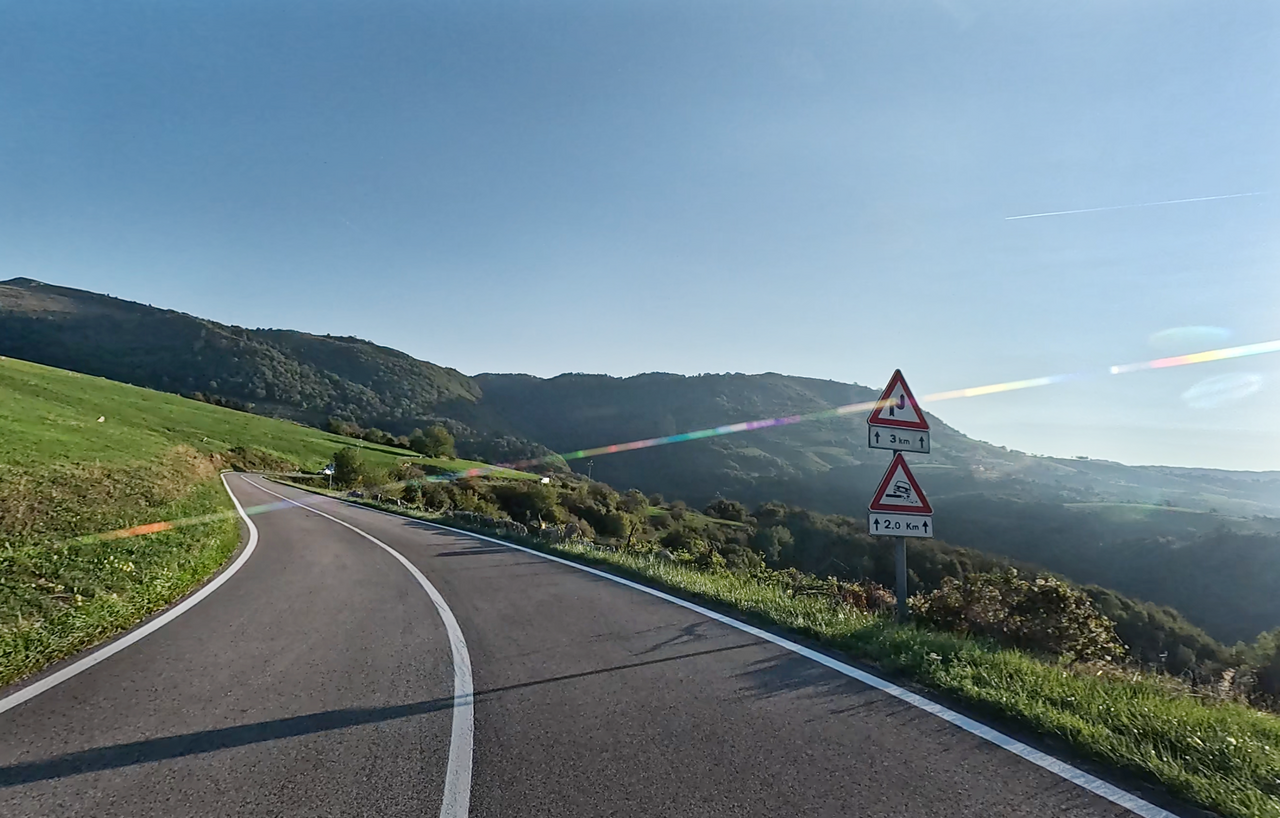
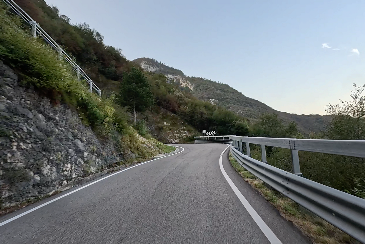
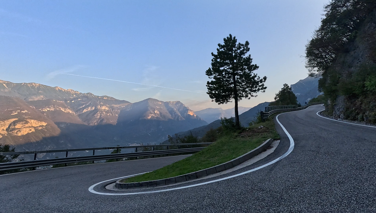
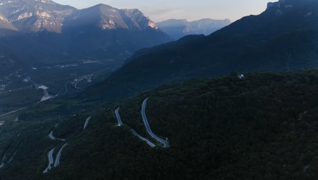
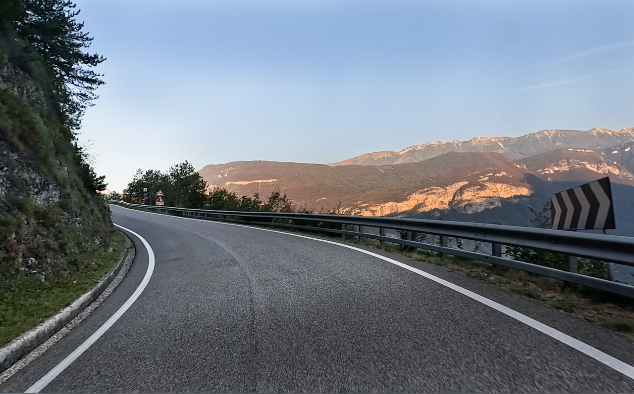
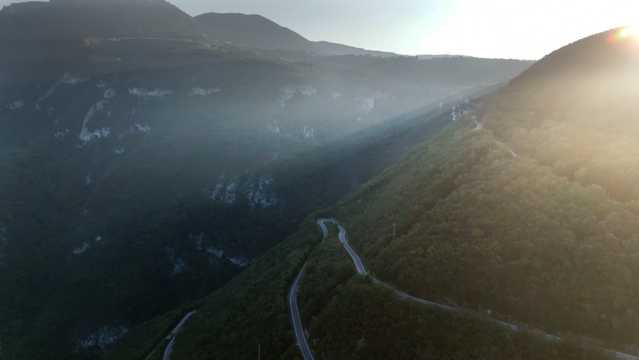
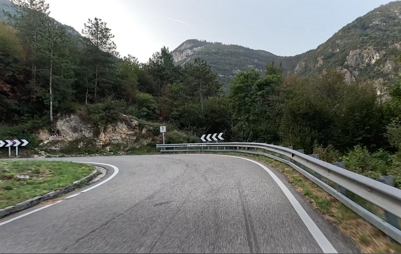
The northern approach is spectacularly winding, with several hairpin bends, interesting tunnels and gradients of up to 20 per cent. Signs warn of these sections. Furthermore, there are fantastic views stretching far into the Adige Valley.
The southern approach, starting from Erbezzo – which lies only about 200 metres lower in altitude – is short and less interesting.
It is therefore advisable to take a route via an equally spectacular approach from the Adige Valley, starting from the village of Peri, which then continues (for orientation) via the village of Fosse. The aforementioned alternative valley village of Peri in the Adige Valley lies about 13 kilometres further south than Sdruzzina, the valley village at the start of the northern ramp.
This creates a route with many more bends and hairpin bends, which is about 36 kilometres long.
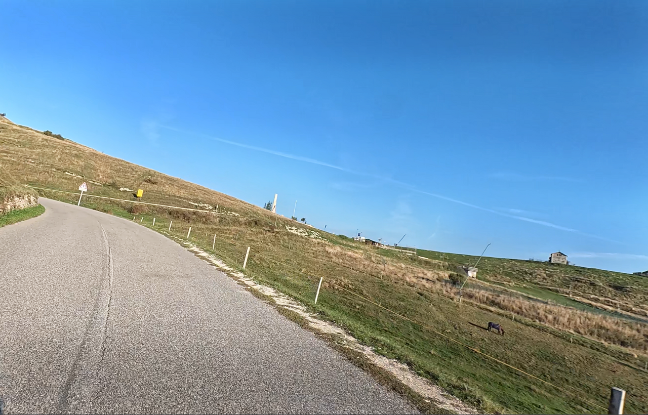
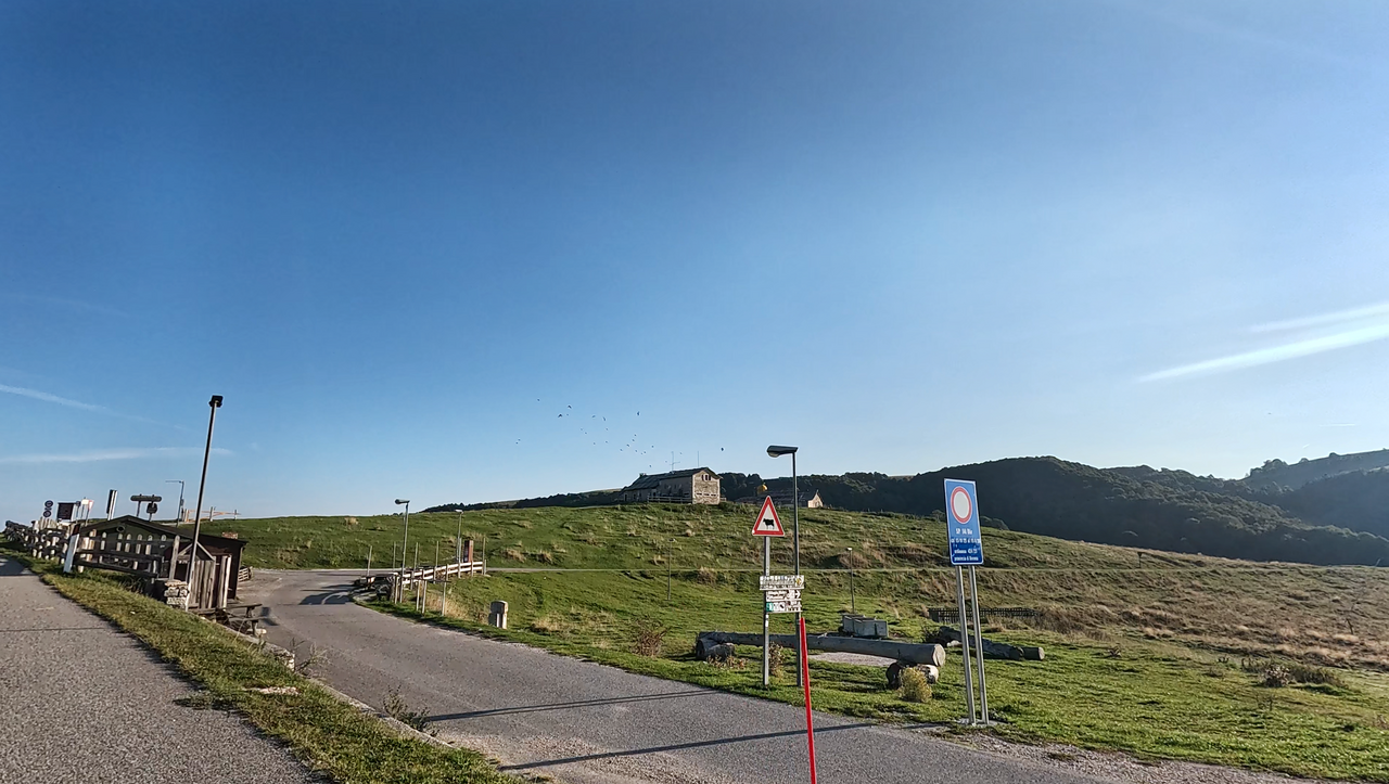
The pass summit lies on a large mountain ridge dotted with malgas (alpine huts) amidst alpine meadows. To the north, there is a fantastic view.
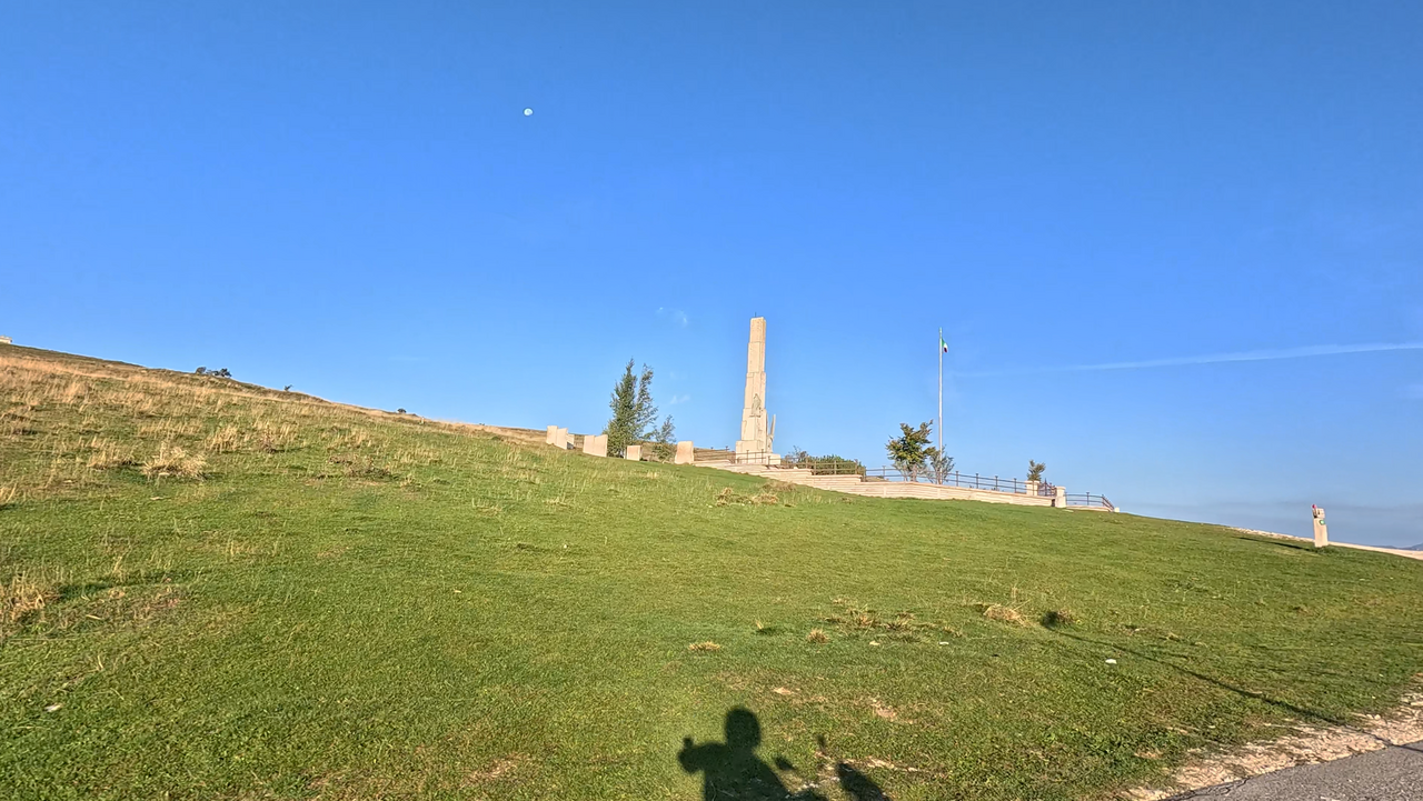
You can enjoy a complete panoramic view by making the pilgrimage to the slightly higher-lying – and widely visible – war memorial, perhaps the best known in the western Italian Alps. At the highest point in the region stands a 16-metre-high stele, erected in honour of the fallen Alpini (Italian mountain infantry).
Here’s a tip: Every year, on the third weekend in July, sometimes thousands of Alpini make a pilgrimage to this memorial – in remembrance of the terrible battles that raged in this region for years. On such occasions, you should either avoid the area or join the pilgrimage.
| Country | Italien |
| Region | Veneto |
| Coordinates | 45.68388087, 10.97915824 |
| Elevation | 1393 m |
| Max. slope | 20 % |
| Toll road | no |
| Road surface | Asphalt |
| Cul-de-sac | no |
| Length | 21 Km |
| Travel time | Normal to slow |
| Route | Erbezzo Sdruzzina |
 overcast clouds, 10.3°C
 Subscribe to Newsletter