






Passo di San Zeno | 1434 METER | Pisogne Lavone
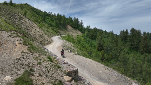
The Passo di San Zeno, at 1,434 metres, links the valley of Lake Iseo, Val Camonica, in the west with the Valle Trompia in the east.
At just under 38 kilometres, it is relatively long for this region of Lombardy. To the west, the elevation gain is around 1,200 metres. This means that the road is as steep as 16 per cent in some sections.
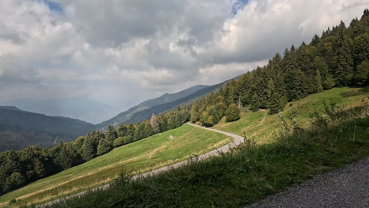
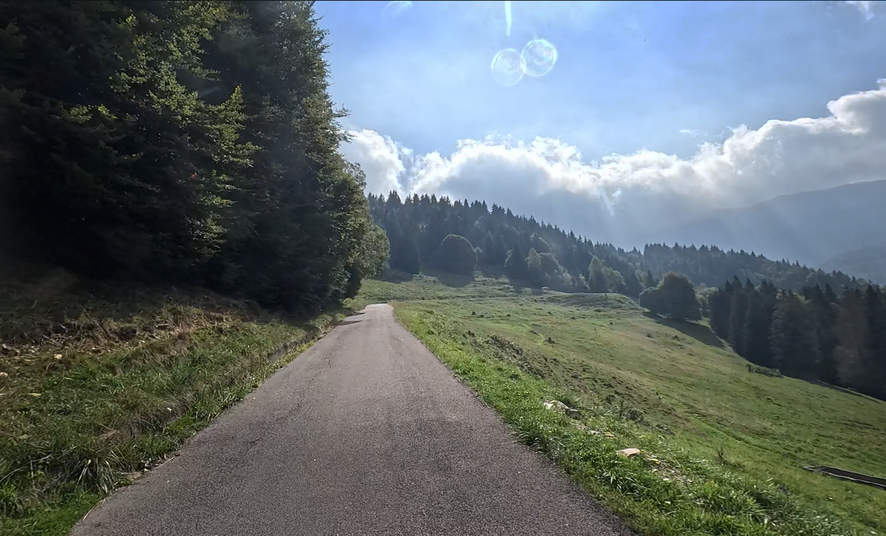
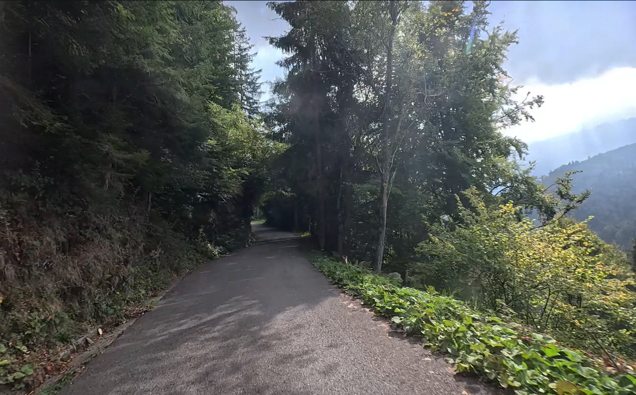
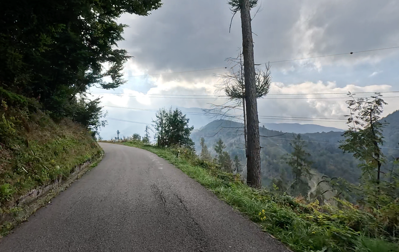
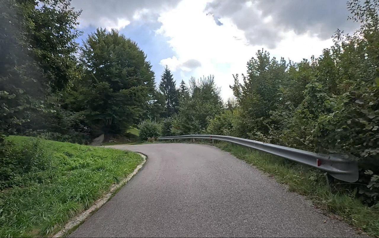
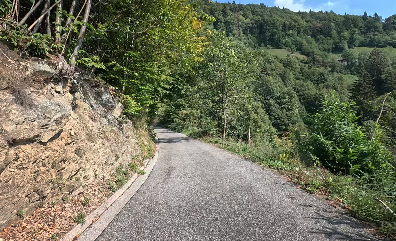
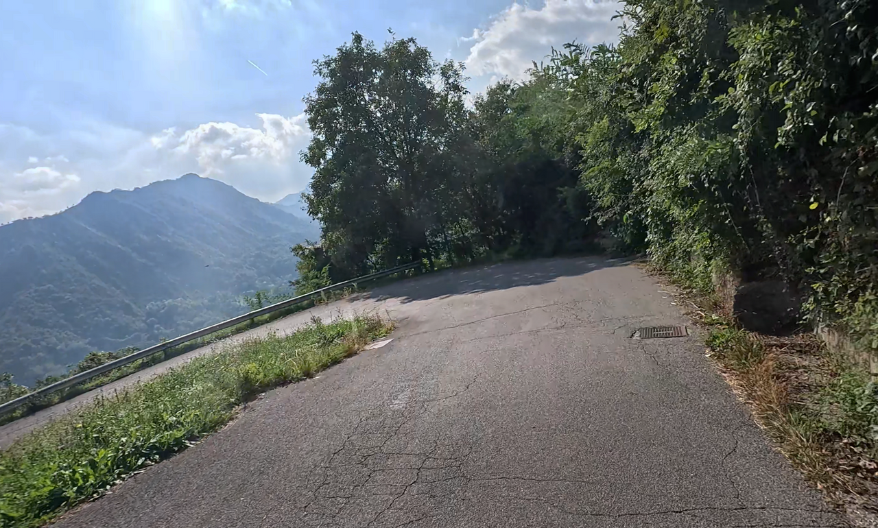
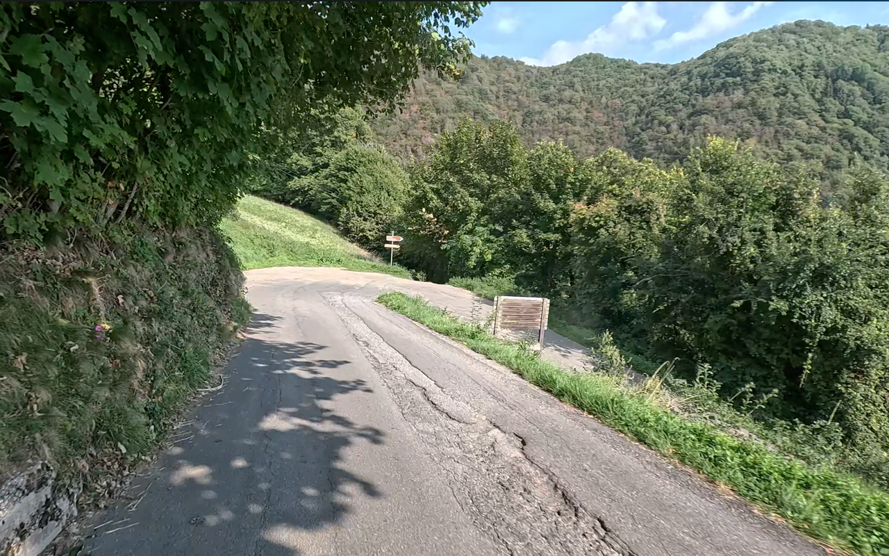
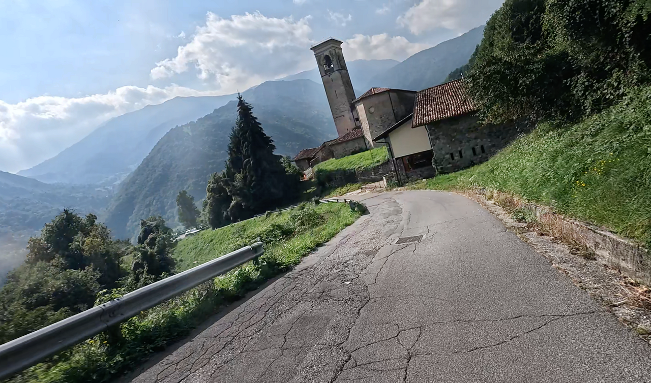
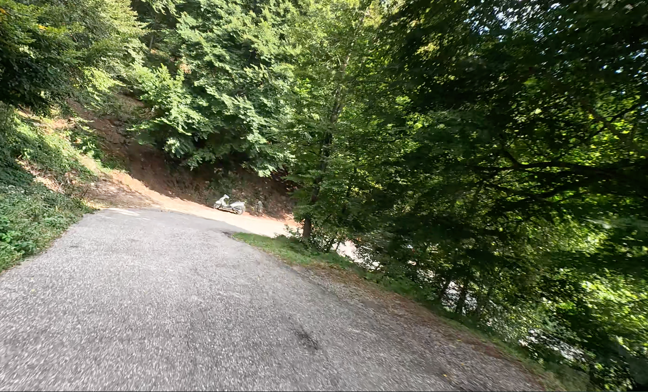
On both ascents, the road is narrow, in places constricted and poorly surfaced. The route winds through mountain forests and across alpine meadows. There are frequent beautiful vantage points overlooking the valley. Furthermore, the route is very winding, with a wide variety of bends and, in places, a lack of kerbing. This makes this Alpine pass quite challenging and strenuous to cycle.
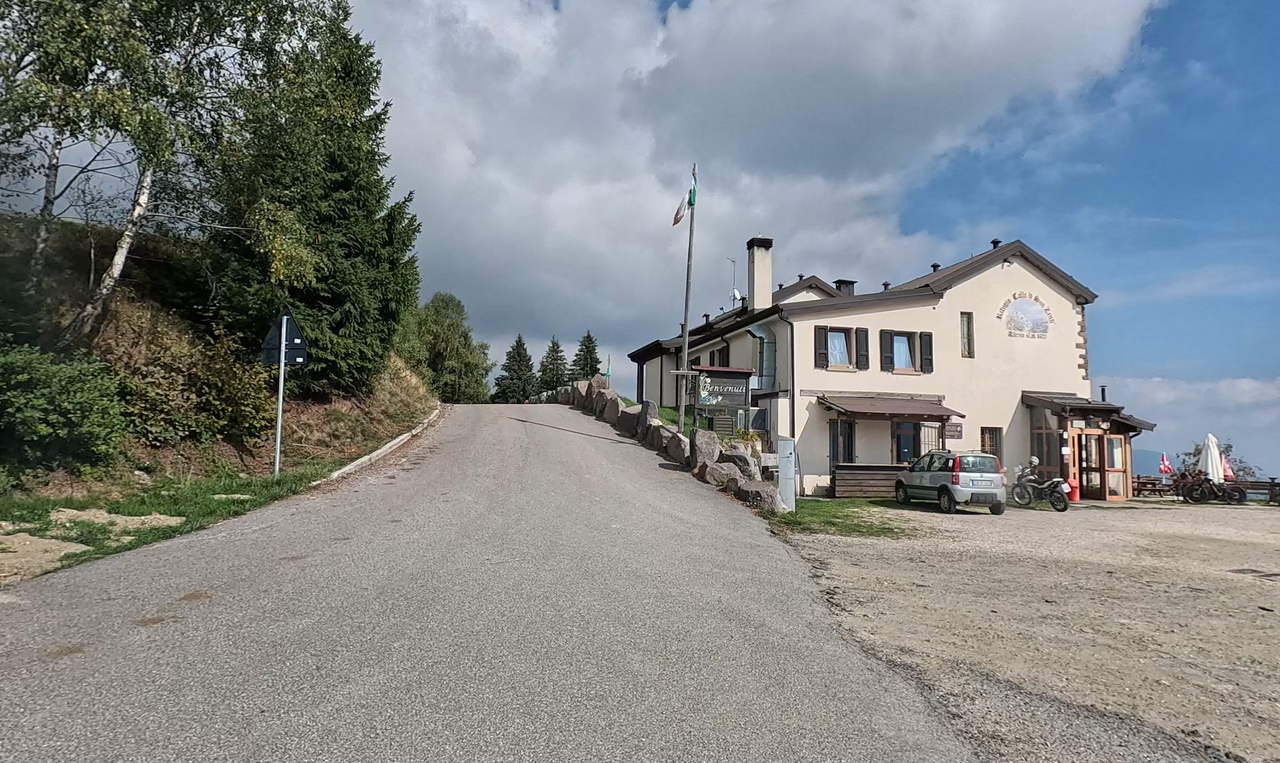
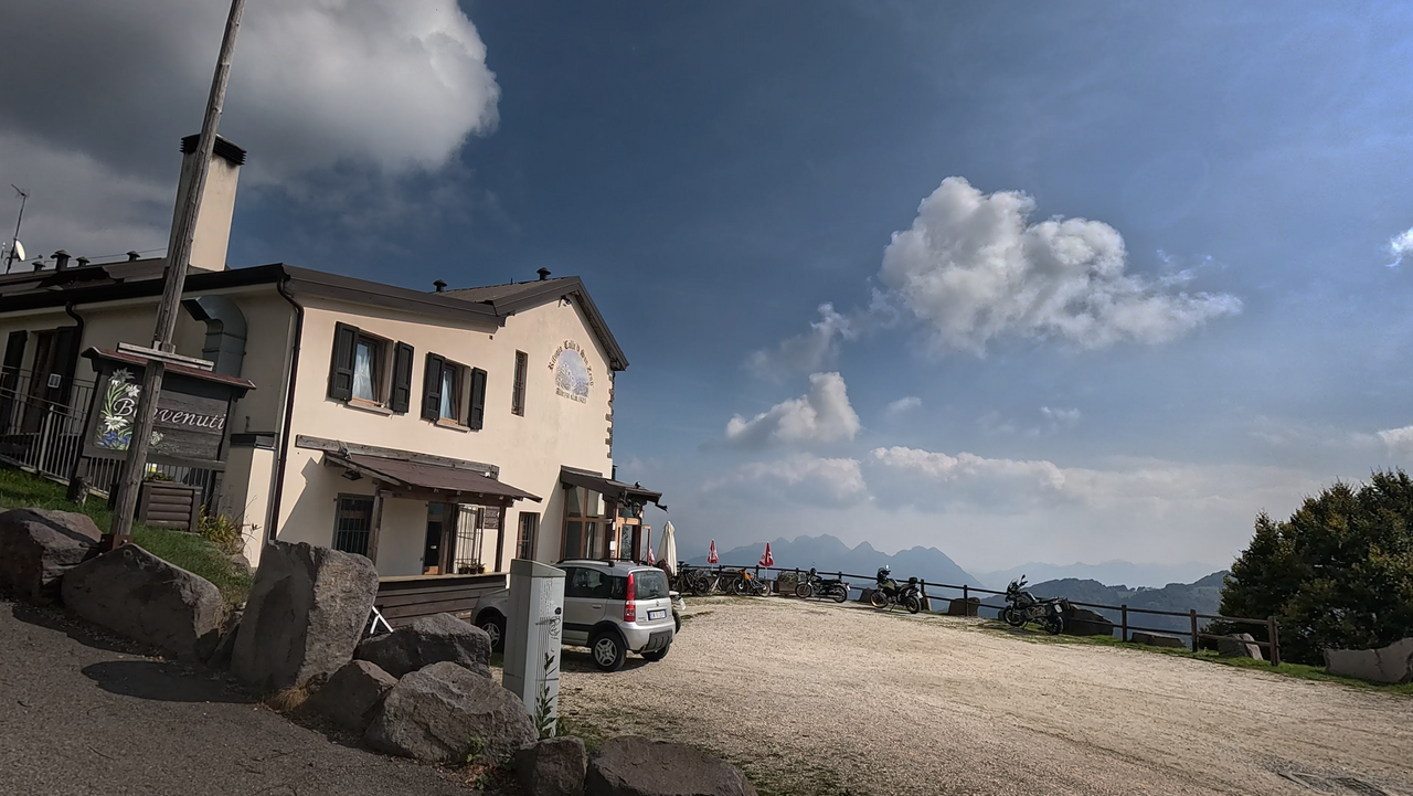
On the western ascent, there is a rifugio situated slightly below the summit. It features a lovely outdoor dining area with a fantastic view down into the Valle Trompia.
On the eastern approach, there are several tight hairpin bends. In one of these, about 600 metres below the summit, lies a site of cultural and historical interest: the Chiesa di San Gaetano da Thiene, a beautiful little 17th-century church. An interesting fact: for many years, the mountain farmers of the region were named Gaetano in honour of their patron saint.
| Country | Italien |
| Region | Lombardia |
| Coordinates | 45.78190461, 10.18866624 |
| Elevation | 1434 m |
| Max. slope | 16 % |
| Toll road | no |
| Road surface | Asphalt |
| Cul-de-sac | no |
| Length | 38 Km |
| Travel time | Normal |
| Route | Pisogne Lavone |
 overcast clouds, 8.9°C
 Subscribe to Newsletter