

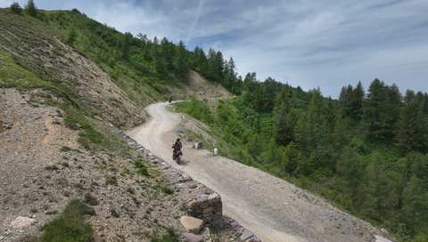
Strada delle Tre Valli – a 17-kilometre route of gravel and tarmac for off-road beginners.
6 days ago
Passo delle Fittanze della Sega | 1,393 metres: 30 hairpin bends, a 20 per cent gradient and 100 per cent panoramic views.
1 week ago
Colle di San Fermo | 1,074 metres: The western approach alone is a motorcyclist’s paradise, with 40 bends.
2 weeks ago





Region: Trentino
Passo Coe | 1610 METER | Vielgereuth Arsiero
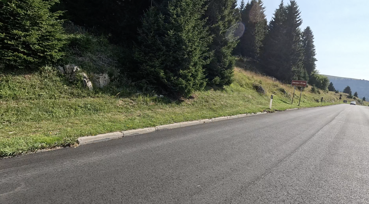
The Passo Coe is a 1610-metre-high mountain pass between the Italian provinces of Trentino and Vicenza. The paved pass road leads from Folgaria to the top of the Passo Coe, then crosses the Passo Valbona and meets the road coming from the Passo del Sommo a few kilometres before Tonezza del Cimone. The Passo Coe is on the European long-distance hiking trail E5.
More images of the pass:
Passtracks close by:
Passo del Sommo, Passo della Borcola, Passo Xomo, Passo di Vézzena, Passo Pian delle Fugazze
| Country | Italien |
| Region | Trentino |
| Coordinates | 45.87654680, 11.21546860 |
| Elevation | 1610 m |
| Max. slope | |
| Toll road | no |
| Road surface | Asphalt |
| Cul-de-sac | no |
| Length | 35 Km |
| Travel time | Normal |
| Route | Vielgereuth Arsiero |
 scattered clouds, 2.6°C
 Subscribe to Newsletter