


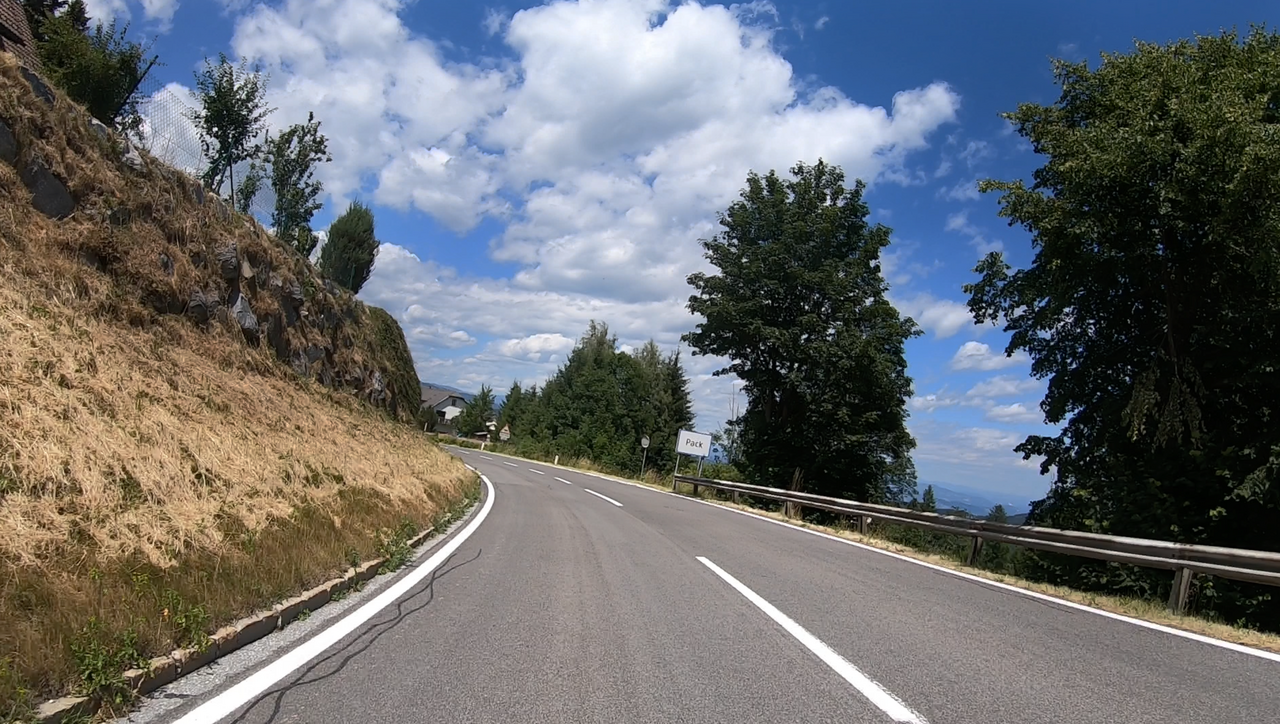
Packsattel | 1169 METER | Preitenegg Edelschrott
The Packsattel, at an altitude of 1,169 metres, is a mountain pass leading from the Lavant Valley into Western Styria. It runs across the Packalpe. Despite the road signs, the officially recorded altitude is 1,169 metres.
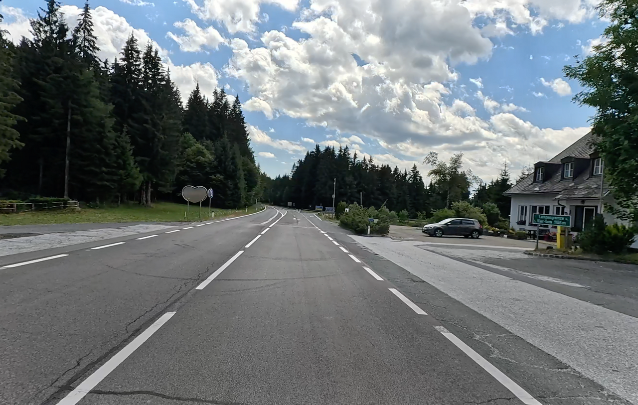
The area belongs to the municipality of Pack. The Packsattel is an old crossing point on a postal route. There is evidence as far back as 1594 of a regular postal service running from Klagenfurt via Völkermarkt and Pack to Graz.
On old maps, the Packsattel is referred to as ‘Vier Töre’ (Four Gates): this refers to the fact that the four paths converging at the pass were each closed off by a gate to prevent grazing livestock from straying onto other people’s land. Even today, there is a sign just before the top of the pass pointing out the “Vier Töre”.
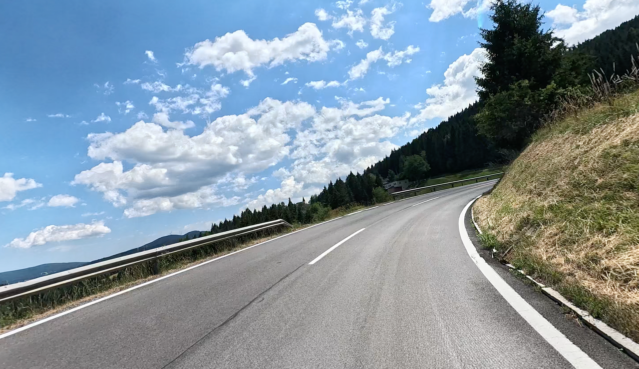
The route is well tarmacked throughout and can be driven at a brisk pace.
| Country | Österreich |
| Region | Kärnten |
| Coordinates | 46.96363703, 14.97682712 |
| Elevation | 1169 m |
| Max. slope | |
| Toll road | no |
| Road surface | Asphalt |
| Cul-de-sac | no |
| Length | 21 Km |
| Travel time | Normal |
| Route | Preitenegg Edelschrott |
 clear sky, 24.2°C