

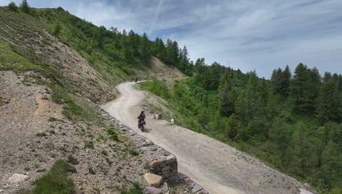
Strada delle Tre Valli – a 17-kilometre route of gravel and tarmac for off-road beginners.
3 hours ago
Passo delle Fittanze della Sega | 1,393 metres: 30 hairpin bends, a 20 per cent gradient and 100 per cent panoramic views.
2 days ago
Colle di San Fermo | 1,074 metres: The western approach alone is a motorcyclist’s paradise, with 40 bends.
1 week ago





Region: Lombardia
La Strada delle Tre Valli | 2176 METER | Rifugio Passo di Croce Domini Passo del Maniva
The Strada Tre Valli or Tre Valli high road is a partly gravel road with many picturesque views of the Alpine region of Lombardy. It branches off to the south at the Passo dem Maniva (Giogo del Maniva) Alpine pass and leads northwards via the SP 345 to the Rifugio Passo di Croce Domini, past the Passo di Croce Domini.
The route has been kept in good condition over the years, so that even off-road novices can drive it without much effort. The highest point is the Giogo della Bala alpine pass at 2,176 metres.
At the Rifugio Passo di Croce Domini, it meets the SP 669, which leads towards Bagolino.
More images of the pass:
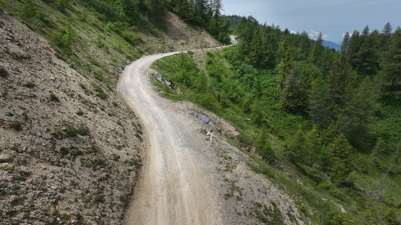
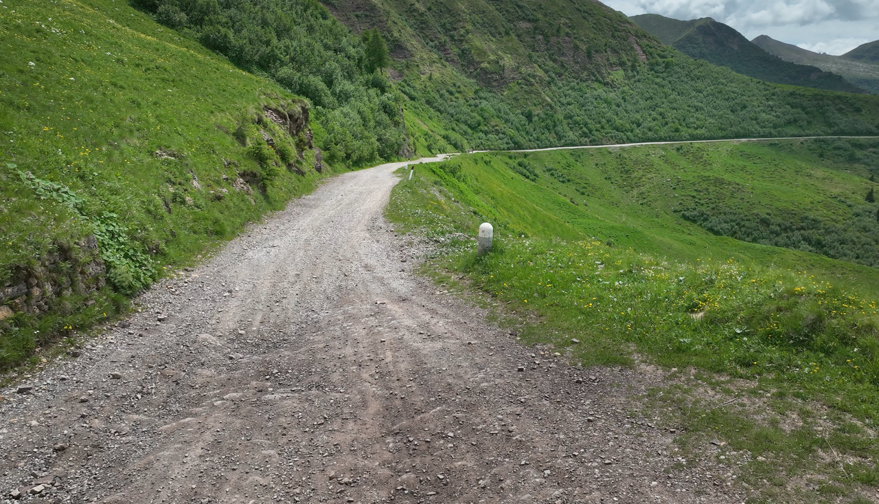
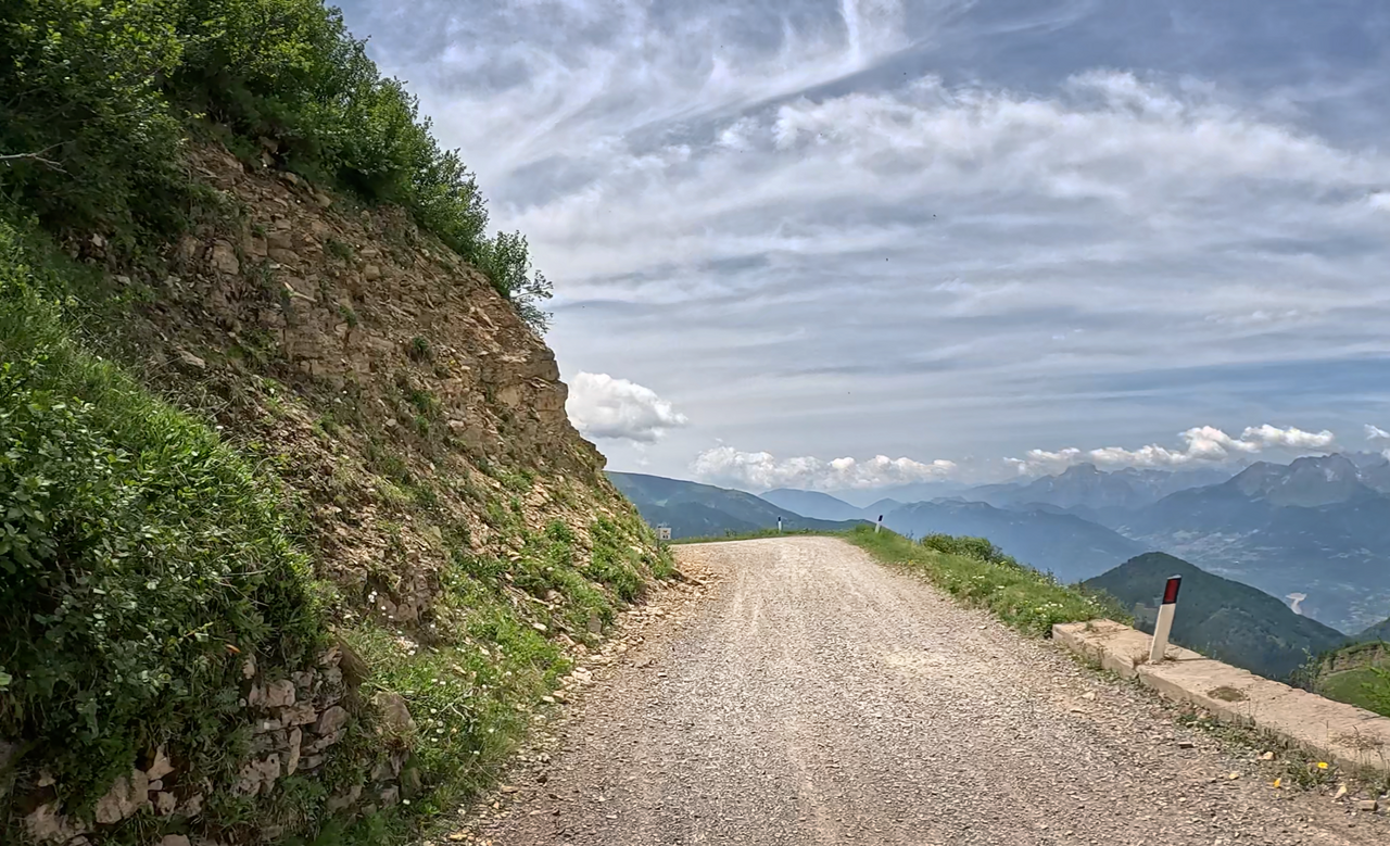
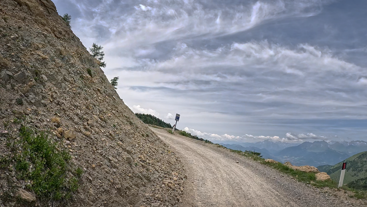
The road is usually fairly flat and well-graveled – easy to drive on.
The road is usually fairly flat and well-graveled – easy to drive on.
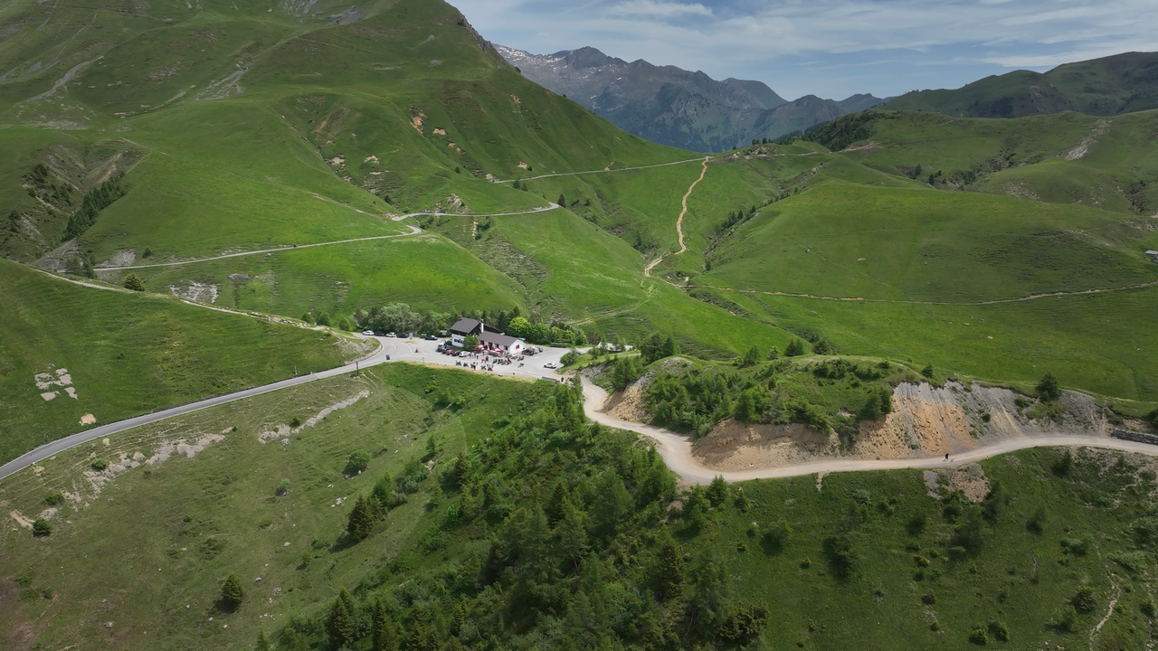
The Rifugio de Croce Domini is the northern starting point for the Strada delle Tre Valli.
The Rifugio de Croce Domini is the northern starting point for the Strada delle Tre Valli.
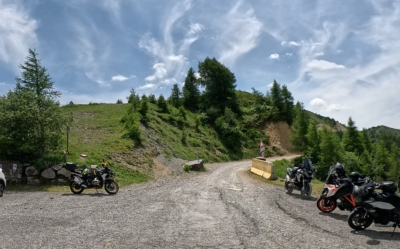
The off-road route starts at the car park of the Rifugio di Croce di Domini.
The off-road route starts at the car park of the Rifugio di Croce di Domini.
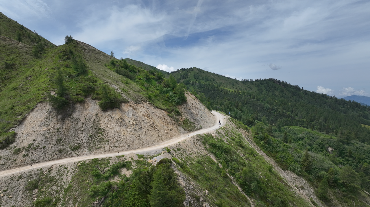
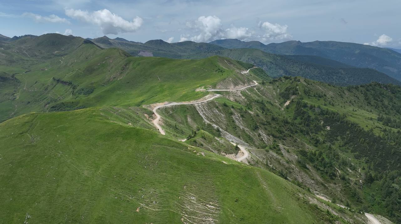
A view of the Strada delle Tre Valli ridge route.
A view of the Strada delle Tre Valli ridge route.
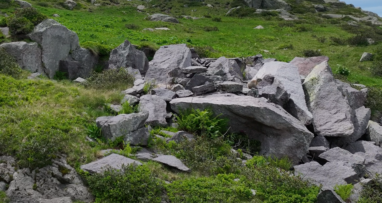
As there is usually very little traffic on the Strade delle Tre Valli, you may occasionally spot marmots.
As there is usually very little traffic on the Strade delle Tre Valli, you may occasionally spot marmots.
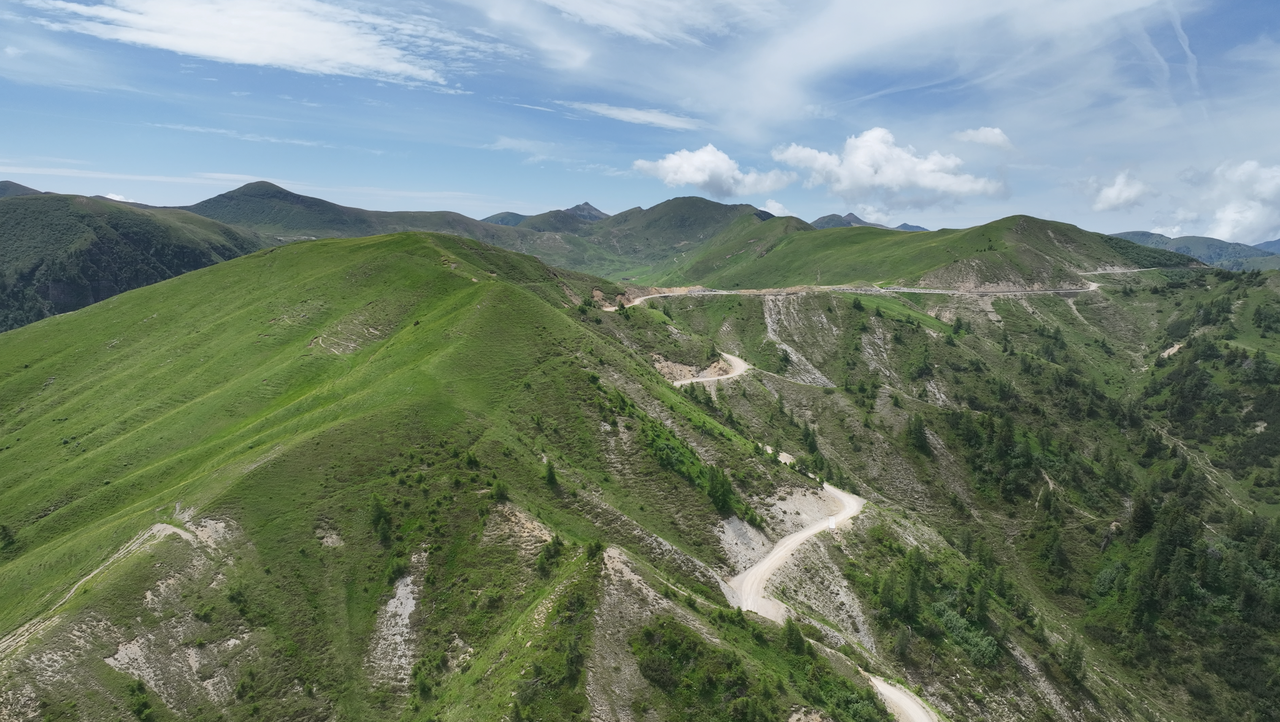
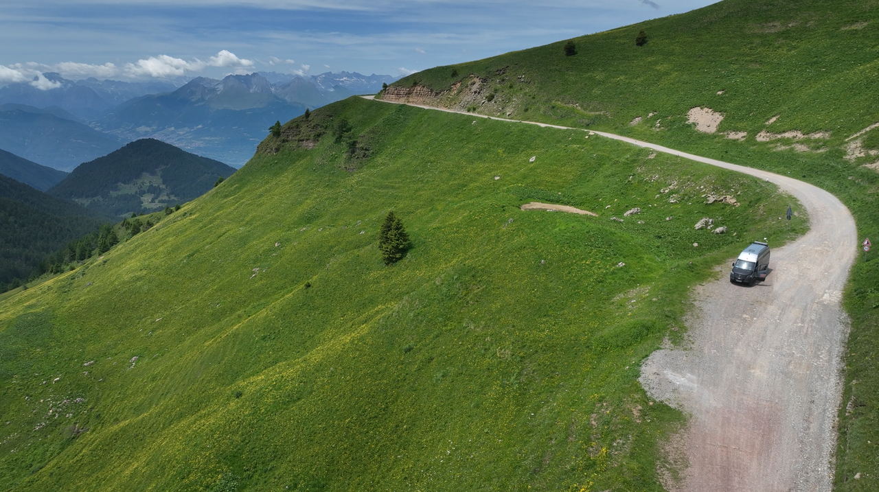
A view of the Strada delle Tre Valli ridge route.
A view of the Strada delle Tre Valli ridge route.
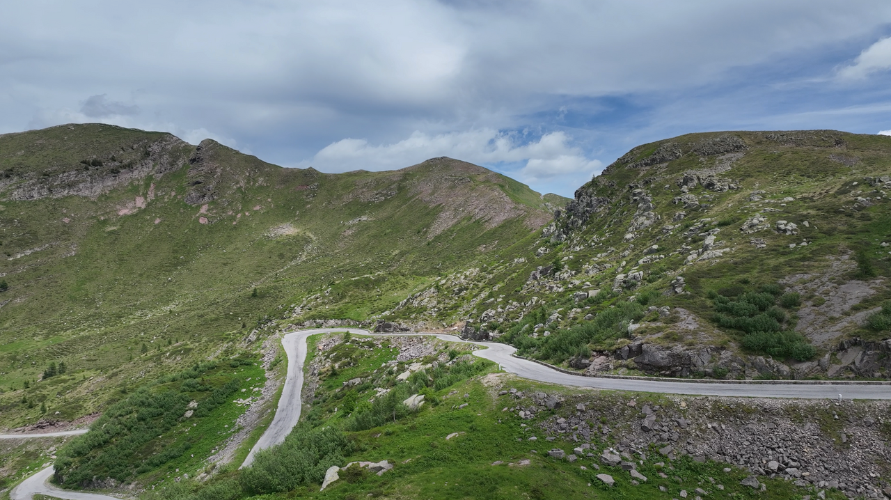
Most of the route is flat. There are only a few inclines with tight bends like this one, making the route manageable even for less experienced enduro riders.
Most of the route is flat. There are only a few inclines with tight bends like this one, making the route manageable even for less experienced enduro riders.
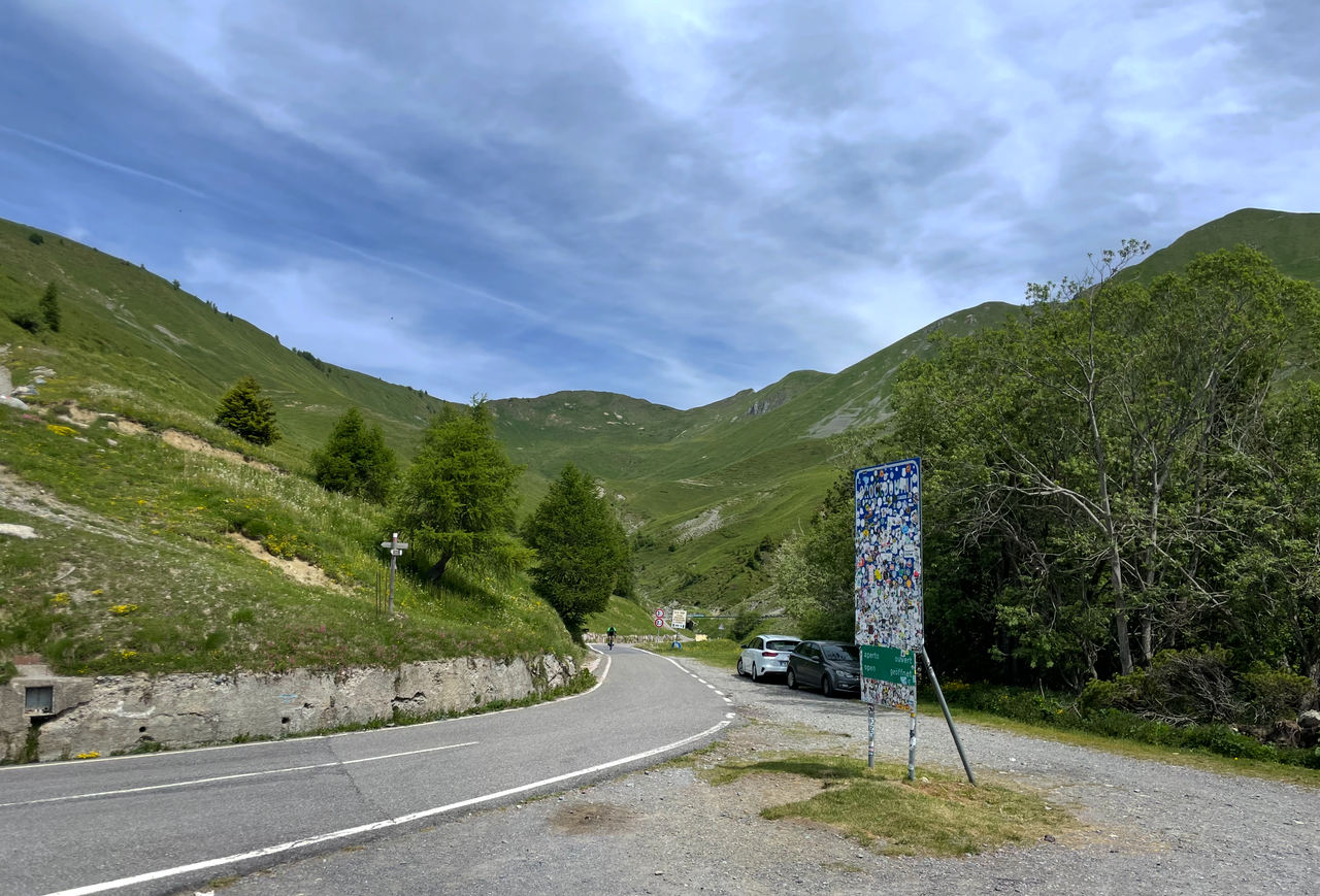
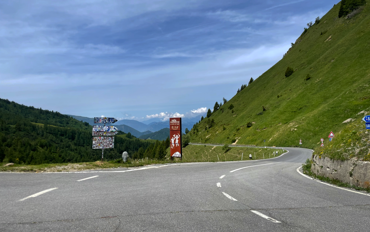
At an altitude of 1,892 metres stands the official sign marking the Passo di Croce Domini, right next to the mountain refuge with its car park and at the junction with the Strada delle Tre Valli.
At an altitude of 1,892 metres stands the official sign marking the Passo di Croce Domini, right next to the mountain refuge with its car park and at the junction with the Strada delle Tre Valli.
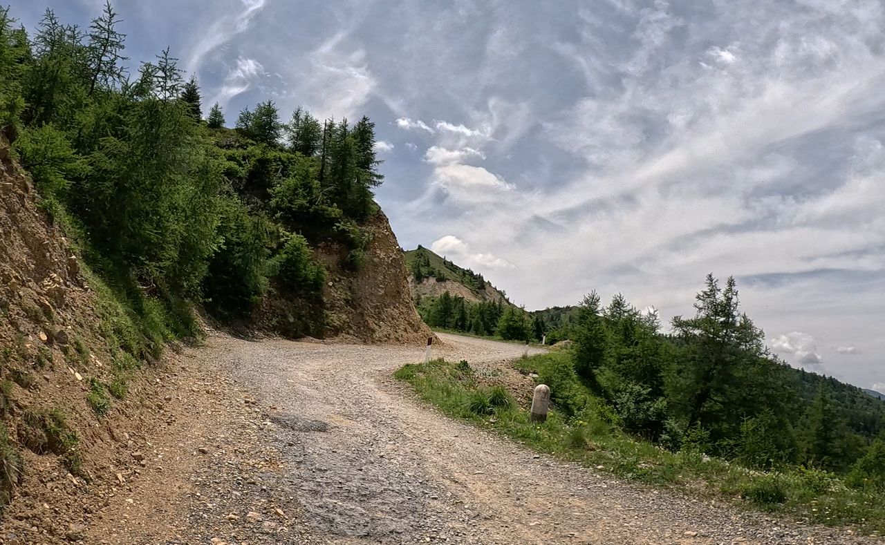
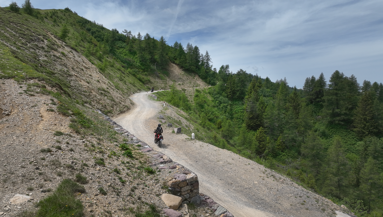
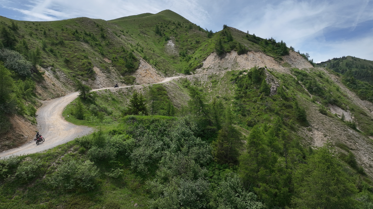
Just a few hundred metres past the Rifugio di Croce Domini, the climb takes you up to an altitude of over 2,000 metres.
Just a few hundred metres past the Rifugio di Croce Domini, the climb takes you up to an altitude of over 2,000 metres.
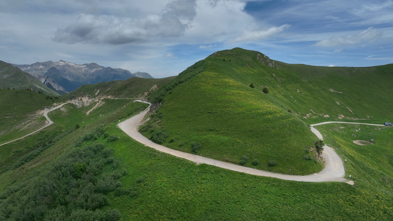
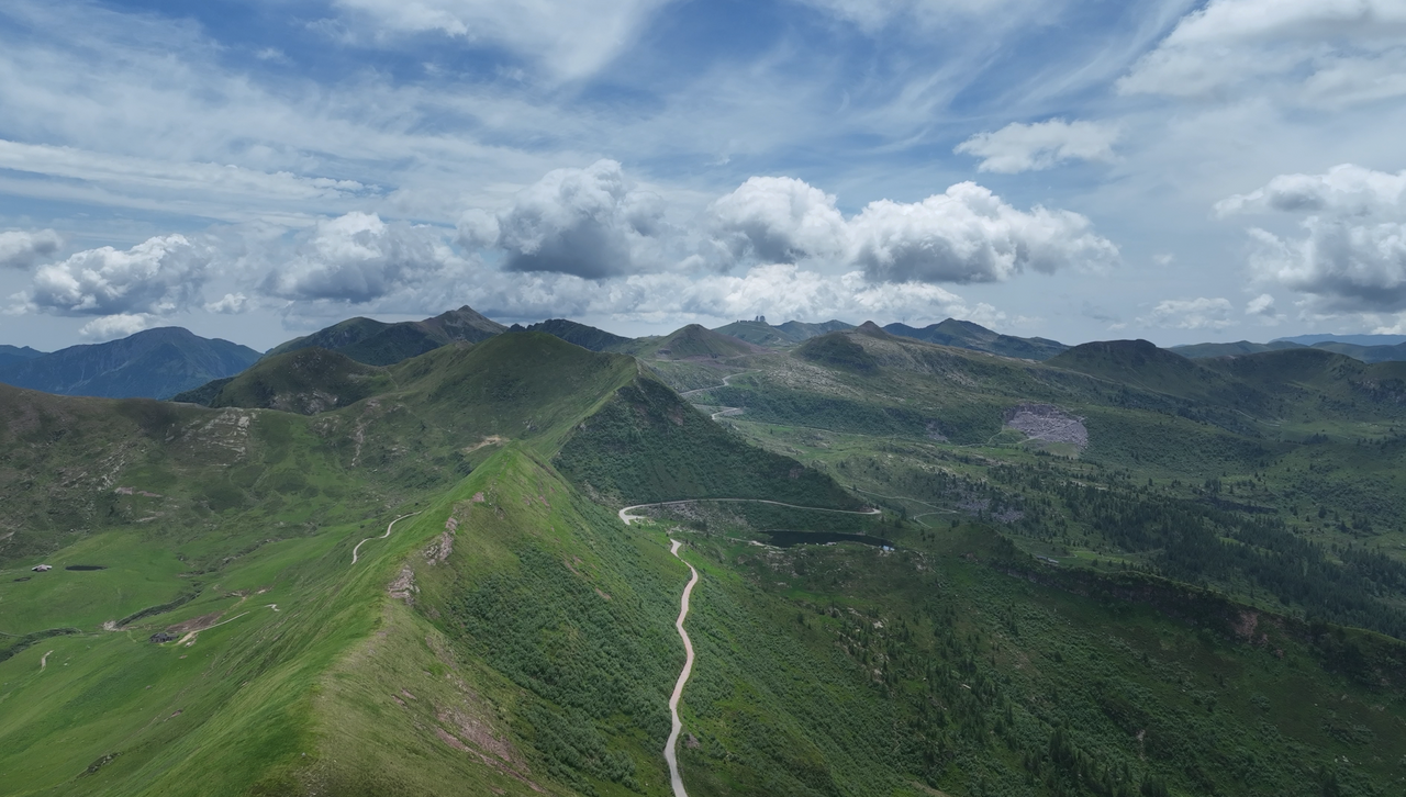
At the Rifugio di Croce Domini, the route also leads down to Breno, the main town in the Valle Camonica. Elevation gain: approximately 1,500 metres.
At the Rifugio di Croce Domini, the route also leads down to Breno, the main town in the Valle Camonica. Elevation gain: approximately 1,500 metres.
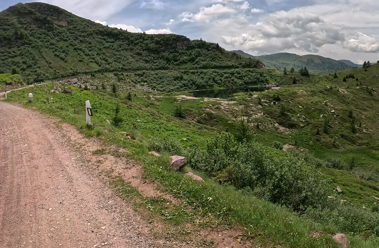
A view of Lake Lavena: a fisherman’s paradise and a popular destination at an altitude of around 2,000 metres.
A view of Lake Lavena: a fisherman’s paradise and a popular destination at an altitude of around 2,000 metres.
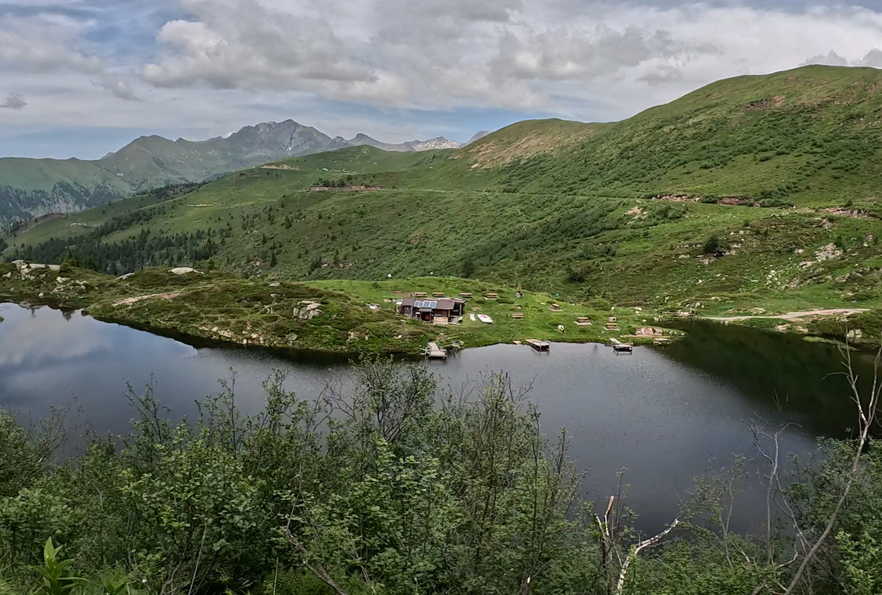
A view of Lake Lavena: a fisherman’s paradise and a popular destination at an altitude of around 2,000 metres.
A view of Lake Lavena: a fisherman’s paradise and a popular destination at an altitude of around 2,000 metres.
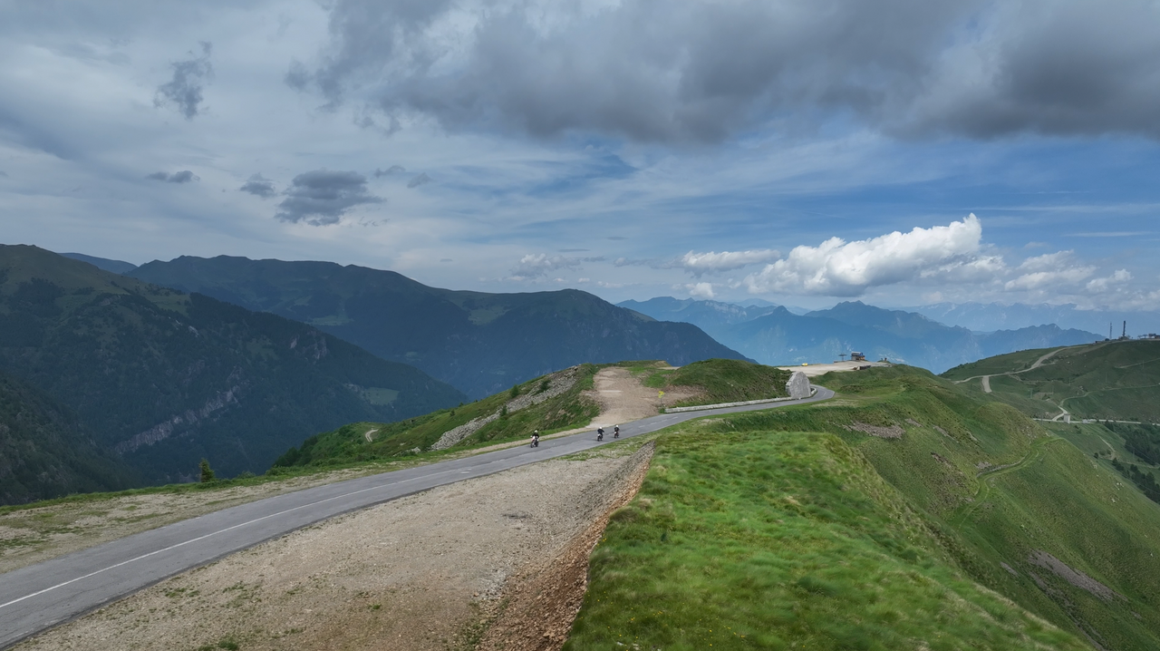
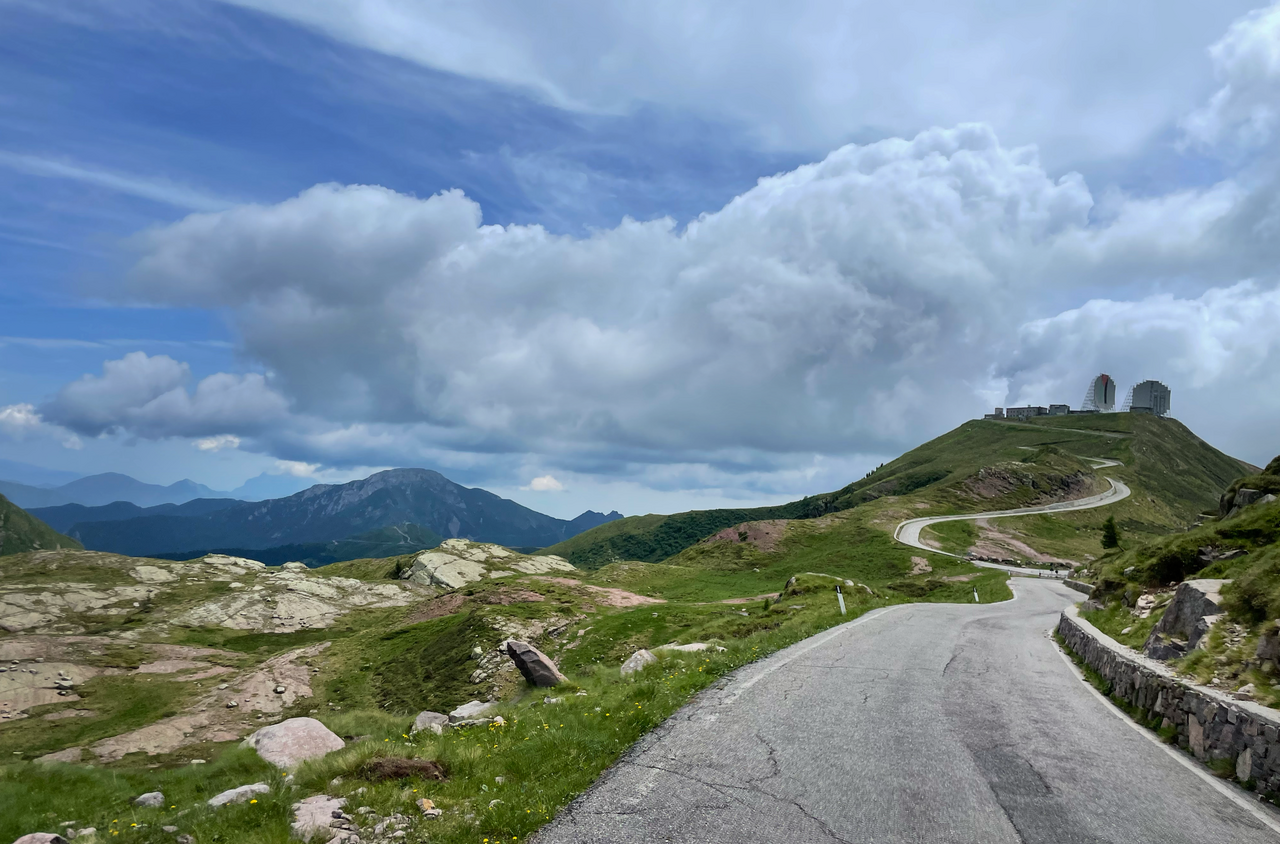
The Strada delle Tre Valli begins near the Passo del Maniva – this section is tarmac-surfaced.
The Strada delle Tre Valli begins near the Passo del Maniva – this section is tarmac-surfaced.
Passtracks close by:
Giogo della Bala, Passo di Croce Domini, Passo Ravenola, Passo Dasdana, Passo del Maniva
Videos
Suggested videos (Passtracks close by)
| Country | Italien |
| Region | Lombardia |
| Coordinates | 45.87586735, 10.38912785 |
| Elevation | 2176 m |
| Max. slope | 15 % |
| Toll road | no |
| Road surface | Asphalt, Gravel |
| Cul-de-sac | no |
| Length | 17 Km |
| Travel time | Slow |
| Route | Rifugio Passo di Croce Domini Passo del Maniva |
 overcast clouds, 5.3°C
Hotels close by
 Subscribe to Newsletter