


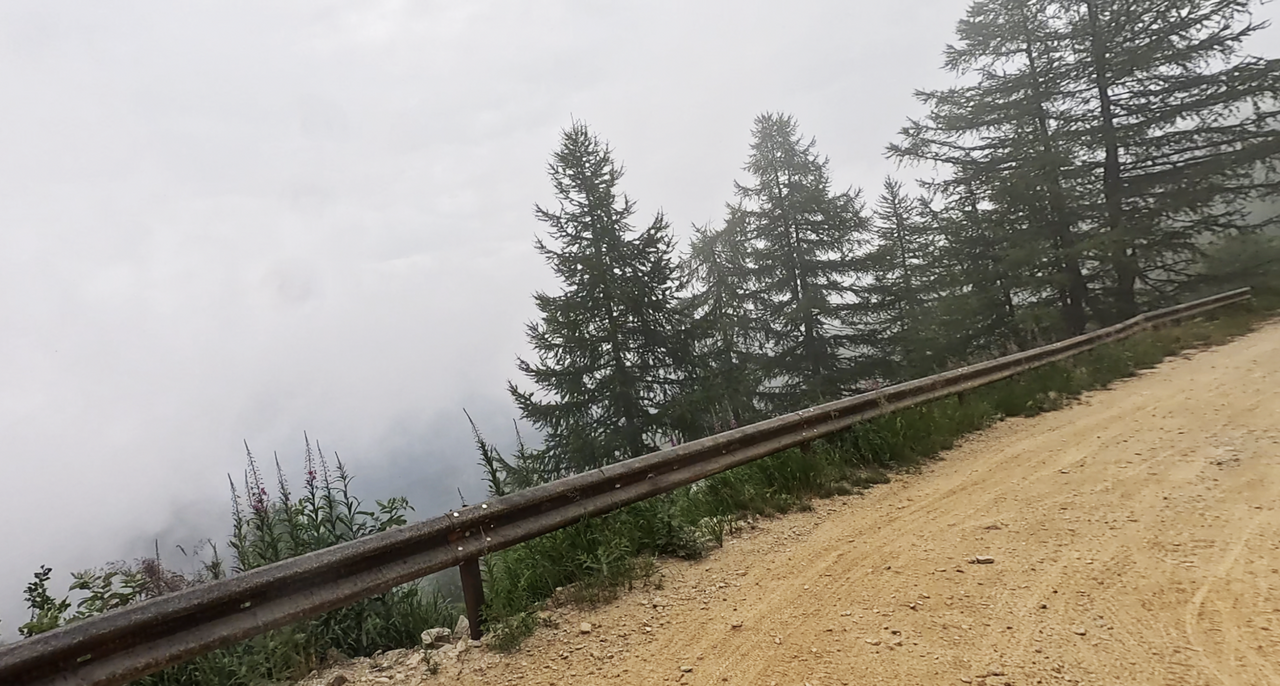
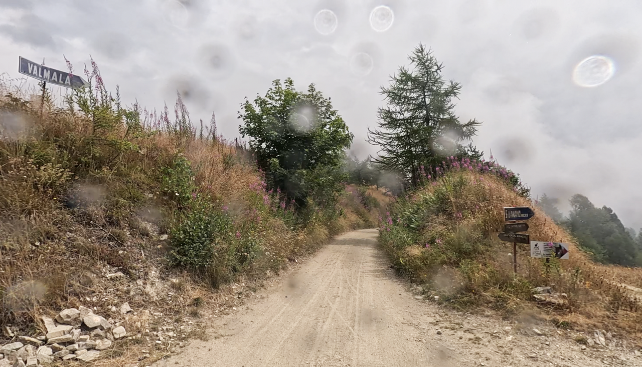
Colle Birrone | 1700 METER | San Damiano Macra Colle di Sampeyre
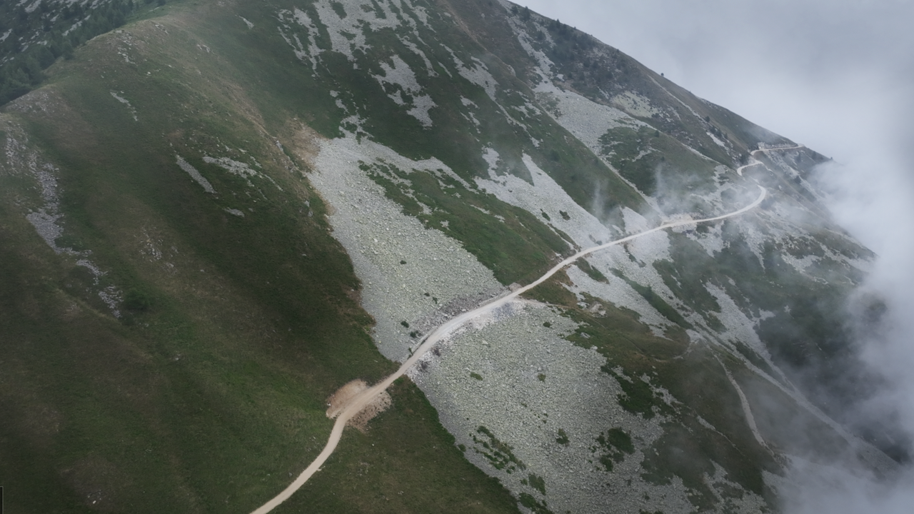
Colle Birrone, at an altitude of 1,700 metres, forms part of the Maira-Stura border ridge road, also known as the Strada dei Cannoni, which leads westwards towards Colle di Sampeyre. Here at Colle Birrone, the road splits. One route leads down into the valley towards Borgata Chesta, whilst another heads directly eastwards towards the nearest Alpine passes, such as Colle della Ciabra.
The route down the valley runs partly over extremely large gravel, which can put quite a strain on the chassis.
Overall, however, the Strada dei Cannoni is easy to drive with basic off-road skills. Please note: The route is now only open to motorised vehicles a few days a week (Tuesdays and Thursdays, as of 2025). Check in good time! However, there are no checkpoints and no tolls.
Videos
Suggested videos (Passtracks close by)
| Country | Italien |
| Region | Piemonte |
| Coordinates | 44.54136356, 7.23369732 |
| Elevation | 1700 m |
| Max. slope | |
| Toll road | no |
| Road surface | Gravel, Sand |
| Cul-de-sac | no |
| Length | 27 Km |
| Travel time | Slow |
| Route | San Damiano Macra Colle di Sampeyre |
 overcast clouds, 15.8°C