


Col du Mont Cenis | 2084 METER | Lanslebourg Susa
The Col du Mont Cenis is a 2081-metre-high French Alpine pass to the south of the Mont Cenis massif, on the route from Lanslebourg-Mont-Cenis and Lanslevillard in France to Susa in Italy. The border between the two countries lies to the east and well below the apex. The Col du Mont Cenis is located on an elongated plateau from which a side valley branches off. The plateau is almost entirely dominated by an artificially dammed lake, the Lac du Mont Cenis. The pass road runs along the northern side. There are several opportunities to stop and walk along the lake. There is also a restaurant and even a small hotel. Forts and the remains of bunkers can be found on both sides of the lake.
The Fort de Pattacreuse is spectacularly situated and can only be reached via the dam wall.
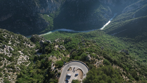
The Italian ramp is narrower and considerably longer because Susa is only at an altitude of about 600 metres. After the state border, which lies on a high plateau below the dam, a serpentine road begins up to the height of the lake. The French ramp, on the other hand, is unspectacular. Lanslebourg is located at about 1330 metres above sea level. In addition, this side is a ski resort. Therefore, a wide but quite winding road leads to the apex.
Tip: just below the pass on the French side, there is a mountain dairy that makes delicious cheeses. It's worth a visit.
Videos
Suggested videos (Passtracks close by)
| Country | Frankreich |
| Region | Savoie |
| Coordinates | 45.26004570, 6.90090298 |
| Elevation | 2084 m |
| Max. slope | |
| Toll road | no |
| Road surface | Asphalt |
| Cul-de-sac | no |
| Length | 41 Km |
| Travel time | Normal |
| Route | Lanslebourg Susa |
 scattered clouds, 8.8°C