

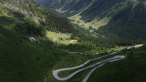





Region: Alpes-de-Haute-Provence
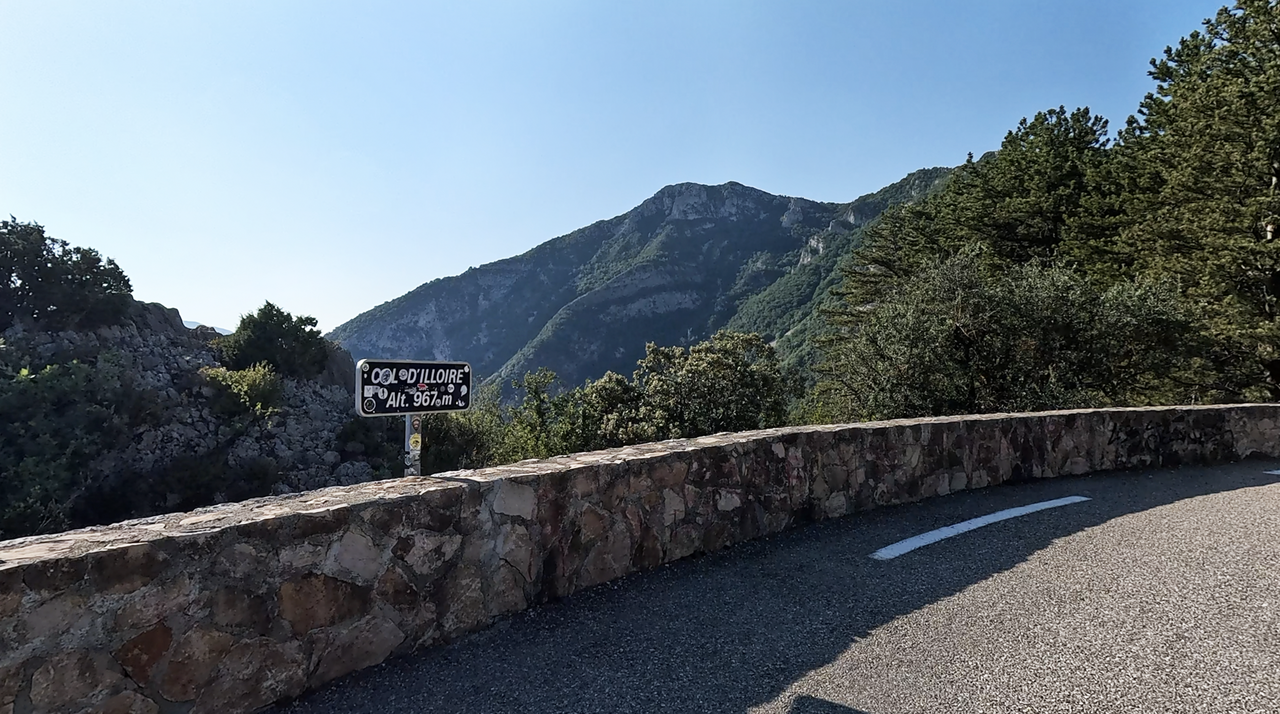
Col d’Illoire | 964 METER | Les-Salles-sur-Verdon Comps-sur-Artuby
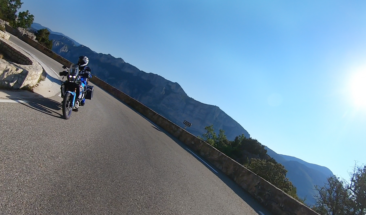
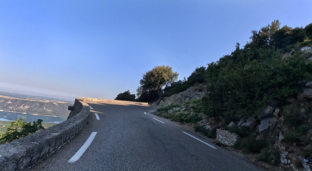
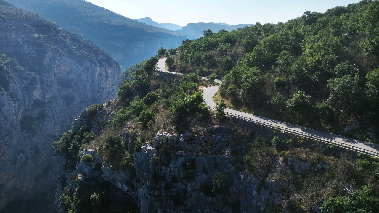
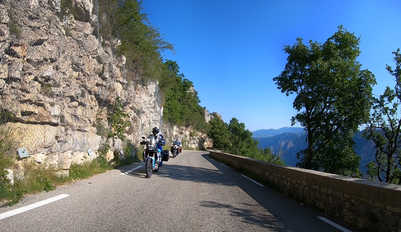
The Col d'Illoire lies on the southern edge of the Verdon Gorge. Coming from the west, a narrow, winding road leads uphill via the medieval village of Aiguines. Heading east, the route continues along the Verdon Gorge.
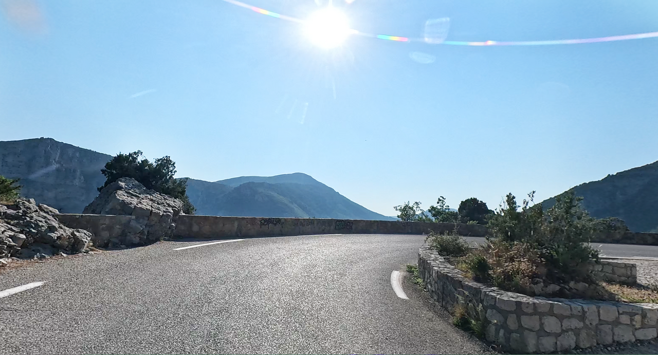
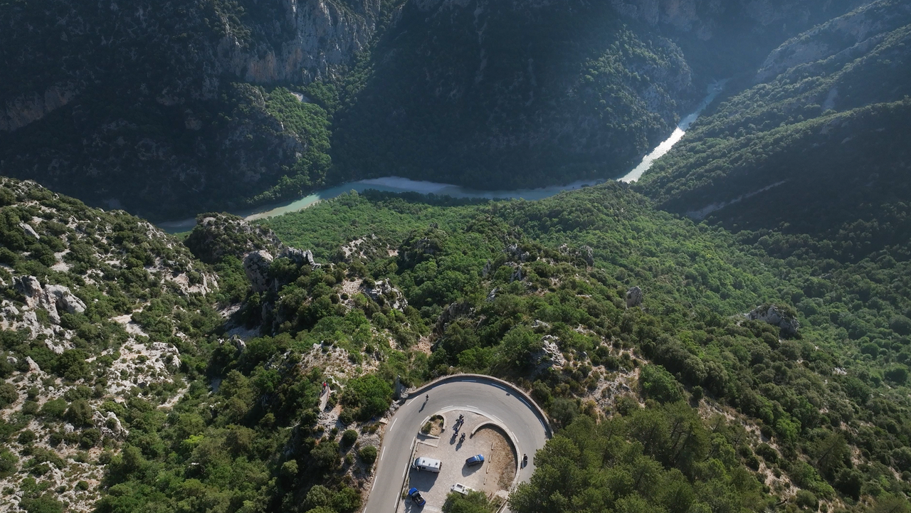
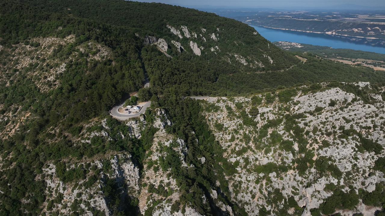
At its summit, in a 180-degree bend, there is a small car park leading to a viewing platform – just a few metres above.
The view of the gorge, which is around 700 metres deep, is magnificent.
More images of the pass:
Passtracks close by:
Col d'Ayen, Col des Lèques, Col de Luens, Col de l'Espinouse, Col de Robines
Videos
| Country | Frankreich |
| Region | Alpes-de-Haute-Provence |
| Coordinates | 43.77543100, 6.26058100 |
| Elevation | 964 m |
| Max. slope | |
| Toll road | no |
| Road surface | Asphalt |
| Cul-de-sac | no |
| Length | 43 Km |
| Travel time | Normal |
| Route | Les-Salles-sur-Verdon Comps-sur-Artuby |
 clear sky, 34.8°C
 Subscribe to Newsletter