


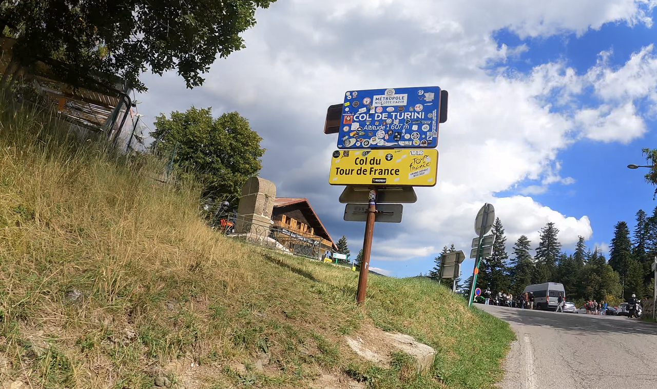
Col de Turini | 1607 METER | Lantosque Lucéram
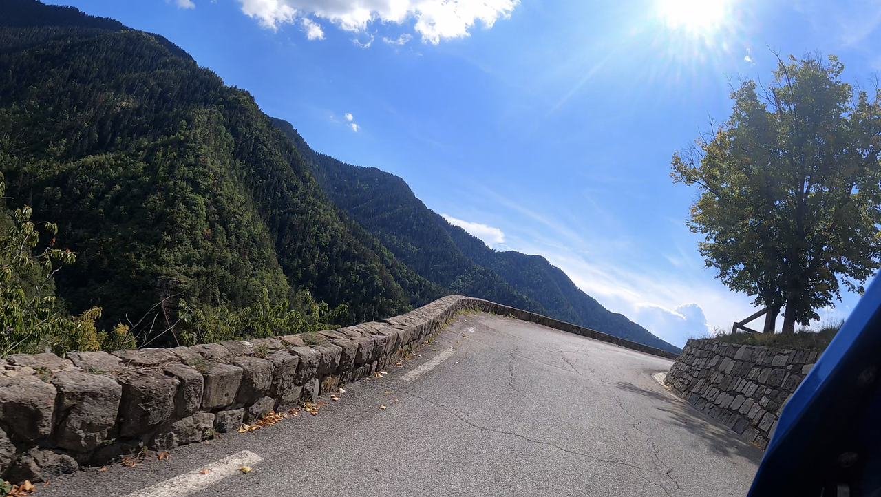
The Col de Turini is a pass in the French Maritime Alps in the hinterland of the French Riviera. The pass summit is located in the Alpes-Maritimes department at an altitude of 1607 metres. The pass is located in the outer, populated zone of the Mercantour National Park and represents the transition between the valley of the Bévéra and the valley of the Vésubie.
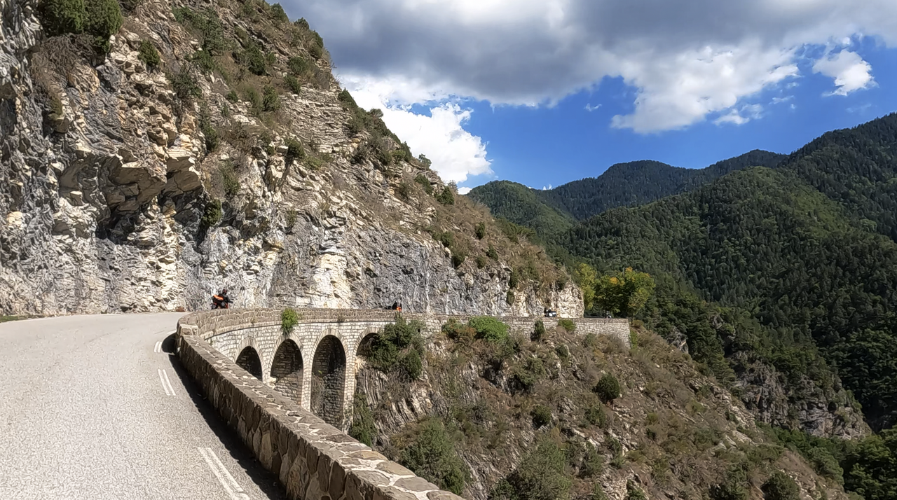
Unusually, the pass summit of Col de Turini is accessible from three sides: from La Bollène-Vésubie to the west and from the towns of L'Escarène and Sospel to the south (the length is calculated using the ramp to Sospel). To the northeast, a road signposted ‘Origine Circuit de l'Authion’ leads to a ring road after about two kilometres.
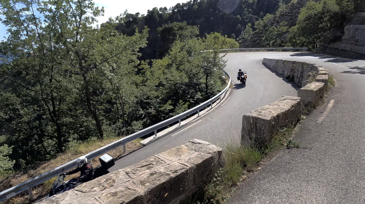
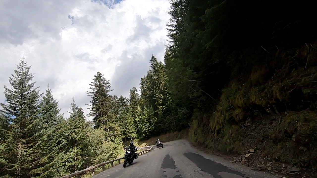
The Col de Turini is a classic among Alpine passes, as it is not only part of the Tour de France, but also a regular starting point for the legendary Monte Carlo Rally.
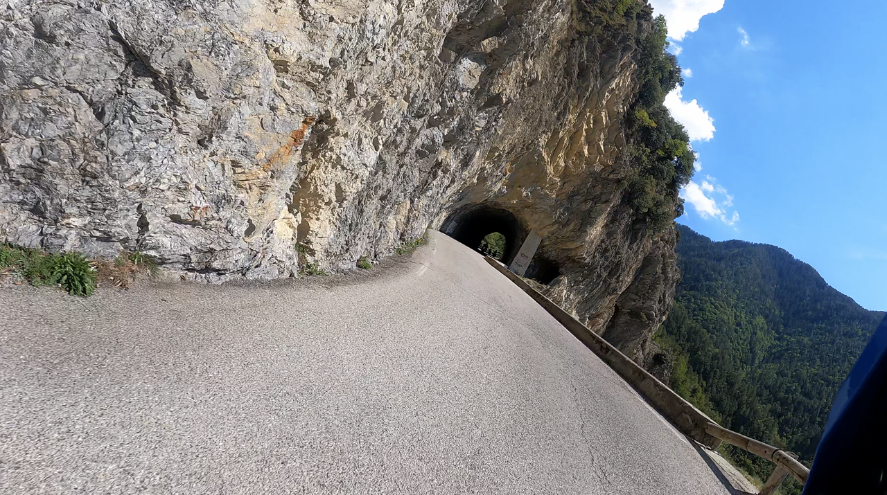
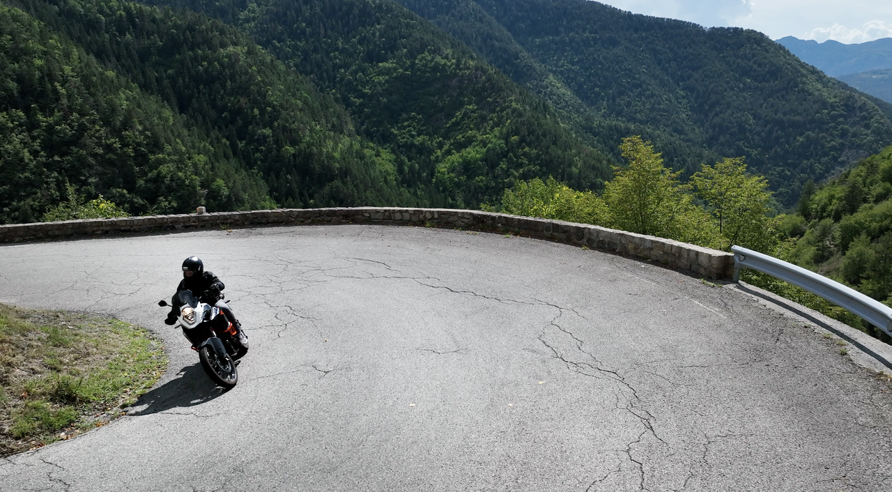
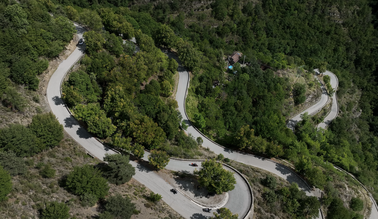
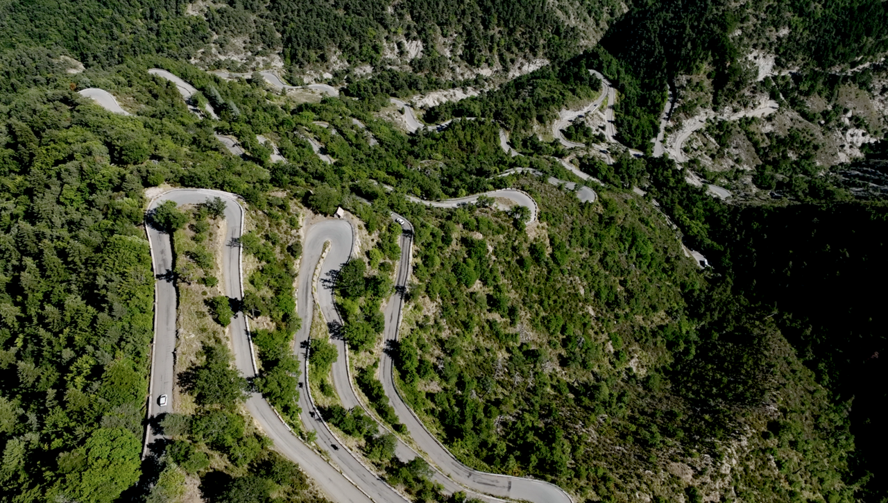
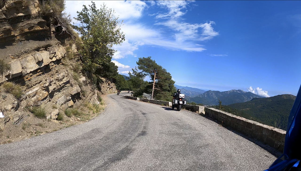
There are a few serpentine-like curve combinations to master on all three ramps. The ramps to the south offer fantastic views of the Riviera.
Videos
Suggested videos (Passtracks close by)
| Country | Frankreich |
| Region | Alpes-Maritimes |
| Coordinates | 43.97720000, 7.39167000 |
| Elevation | 1607 m |
| Max. slope | |
| Toll road | no |
| Road surface | Asphalt |
| Cul-de-sac | no |
| Length | 38 Km |
| Travel time | Normal to slow |
| Route | Lantosque Lucéram |
 clear sky, 17.7°C