

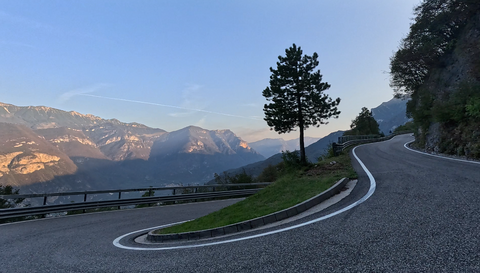
Passo delle Fittanze della Sega | 1,393 metres: 30 hairpin bends, a 20 per cent gradient and 100 per cent panoramic views.
4 hours ago
Colle di San Fermo | 1,074 metres: The western approach alone is a motorcyclist’s paradise, with 40 bends.
1 week ago
Stilfserjoch, West Ramp | 2,757 metres: dramatic, narrow and rugged. Plus 40 hairpin bends and more.
1 week ago





Region: Hautes-Alpes
Col de Tourettes | 1236 METER | Veynes Veynes
The Col de Tourettes Alpine pass – known as Col de Tourette according to the sign just before the summit – is 1,236 metres high; the southern approach is tarmacked, whilst the northern approach is unpaved. The tarmacked section ends in the small village of Glaise.
Up to that point, the road is narrow, with some potholes and loose gravel in places, and offers very scenic views. The mountains in this southern region of the Alps are already more rounded, and the vegetation has a distinctly Mediterranean character.
Even if you don’t want to tackle the gravel section, the climb up to the Col de Tourettes is well worth it.
More images of the pass:
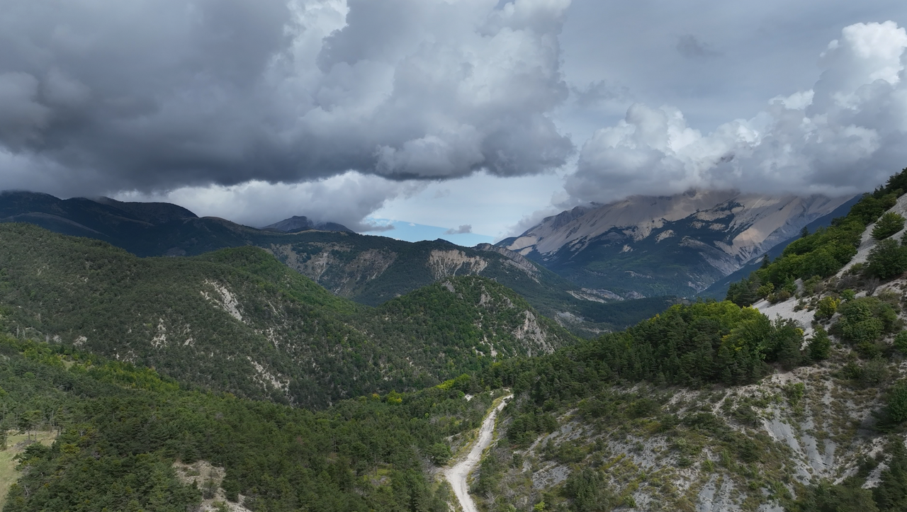
View towards the north-facing slope of the Col de Tourettes – the track is gravel.
View towards the north-facing slope of the Col de Tourettes – the track is gravel.
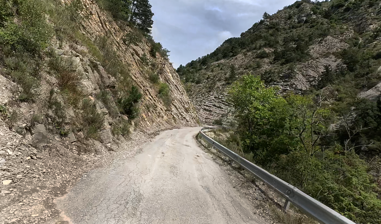
The drive up the southern ramp – which is actually further west – is charming, as the road surface is crumbling and the landscape is wild and Mediterranean.
The drive up the southern ramp – which is actually further west – is charming, as the road surface is crumbling and the landscape is wild and Mediterranean.
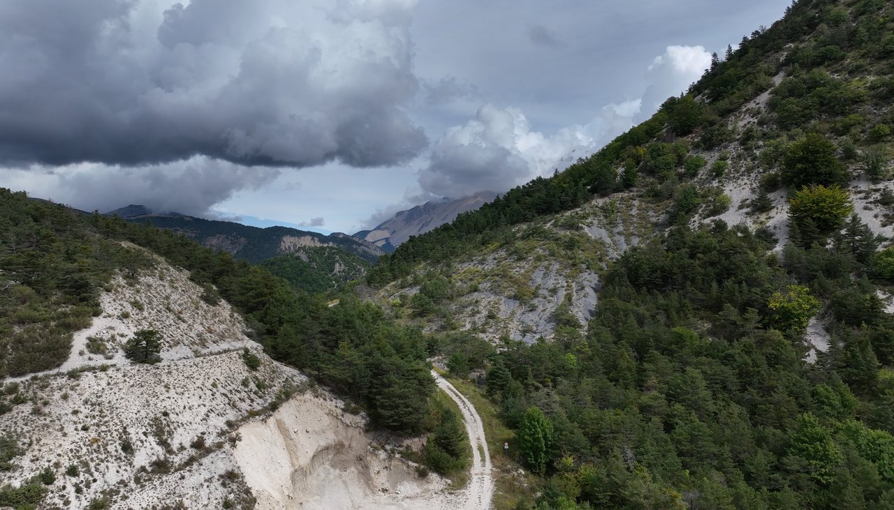
A view of the top of the pass, which lies a few hundred metres beyond the end of the tarmac road.
A view of the top of the pass, which lies a few hundred metres beyond the end of the tarmac road.
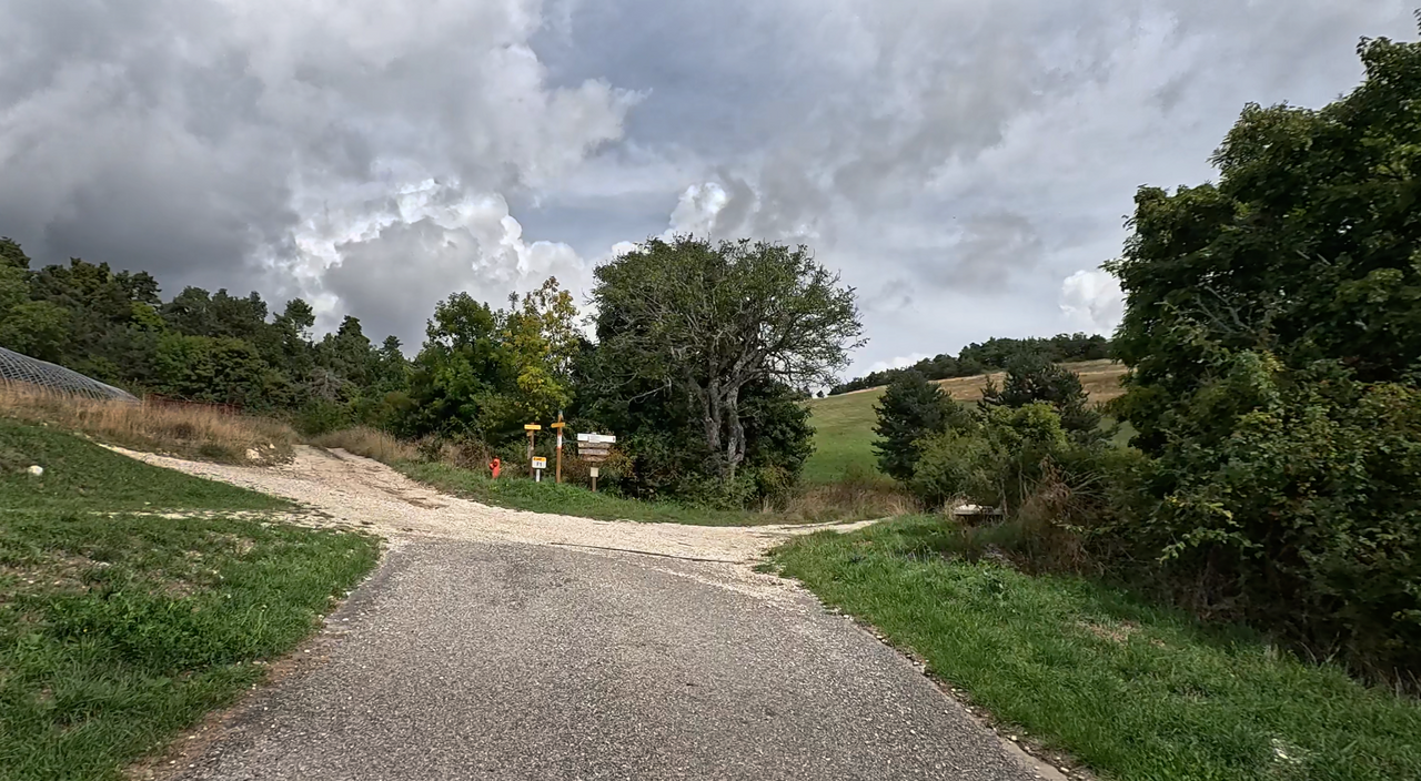
The tarmac road ends in the small village of Glaise – if you’re coming from the south-west, via the southern ramp.
The tarmac road ends in the small village of Glaise – if you’re coming from the south-west, via the southern ramp.
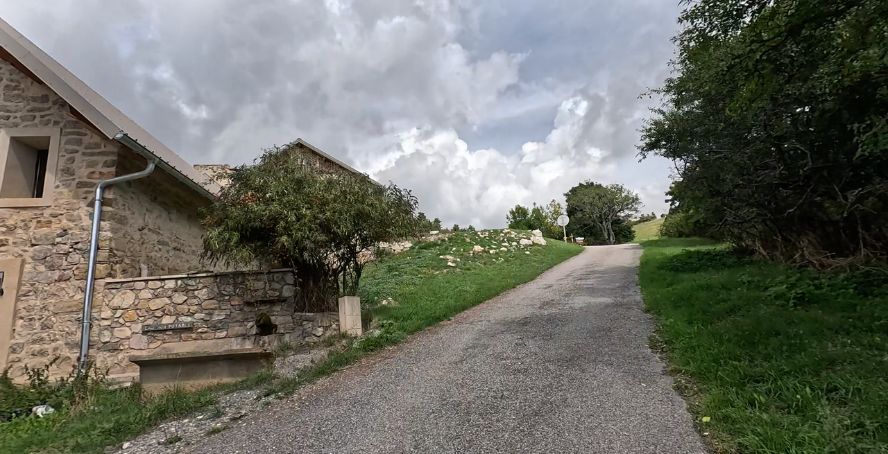
View of the village of Glaise, south-facing slope.
View of the village of Glaise, south-facing slope.
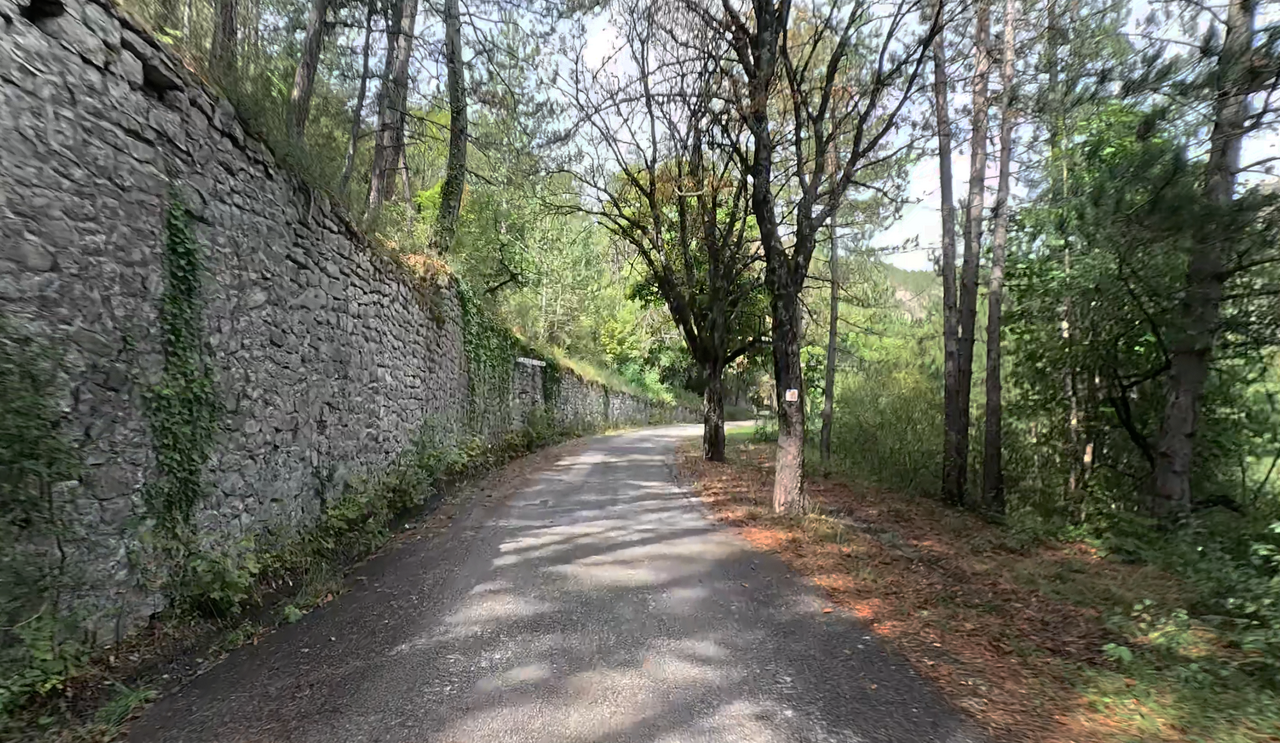
Start of the southern ramp – outskirts of Veynes.
Start of the southern ramp – outskirts of Veynes.
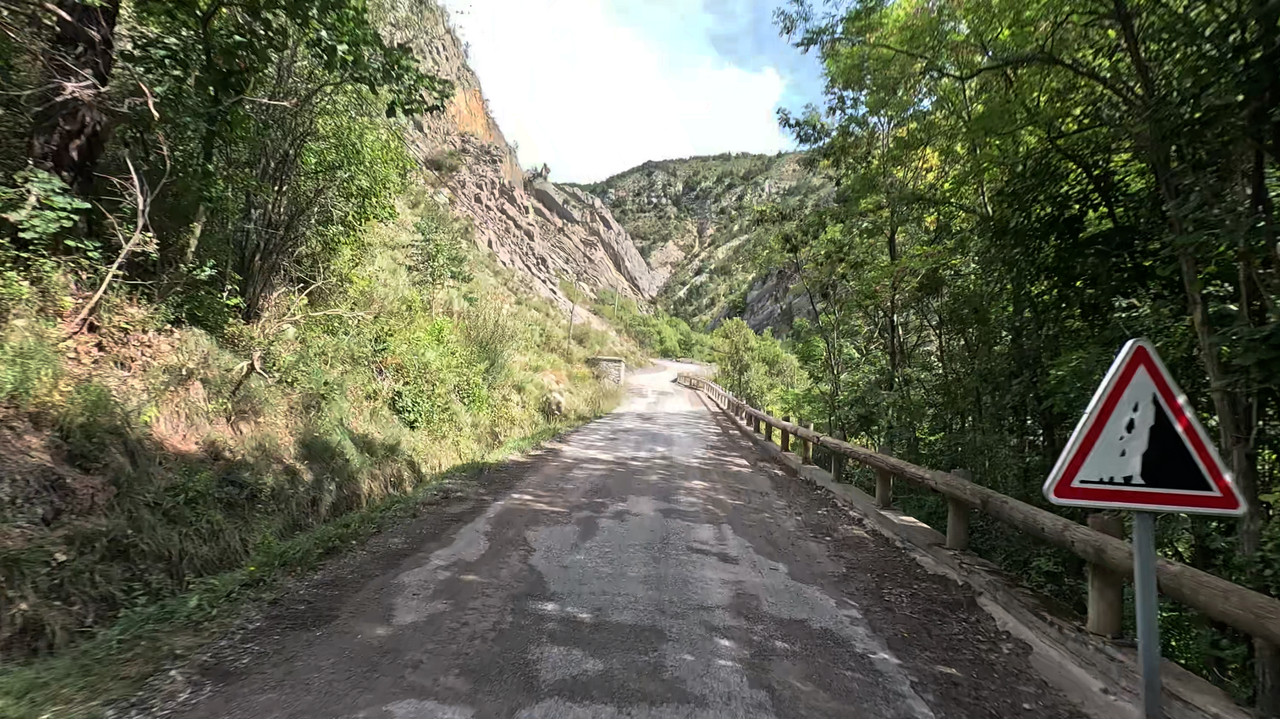
The route to the Col de Tourettes is in poor condition – partly due to the weather.
The route to the Col de Tourettes is in poor condition – partly due to the weather.
Passtracks close by:
Col de Verniers, Col du Pignon, Col du Festre, Col d’Espréaux, Col de la Haute Beaume
| Country | Frankreich |
| Region | Hautes-Alpes |
| Coordinates | 44.58113790, 5.82998684 |
| Elevation | 1236 m |
| Max. slope | |
| Toll road | no |
| Road surface | Asphalt, Gravel |
| Cul-de-sac | no |
| Length | 16 Km |
| Travel time | Normal to slow |
| Route | Veynes Veynes |
 clear sky, 12.6°C
 Subscribe to Newsletter