


Col de l’Izoard | 2360 METER | Briançon Château-Queyras
The Col d'Izoard is a 2361-metre-high road pass in the French Alps, in the Hautes-Alpes department. The road connects Briançon and the Guil Valley. The pass is of little importance in terms of traffic, as the alternative route through the Durance Valley is shorter and better developed.
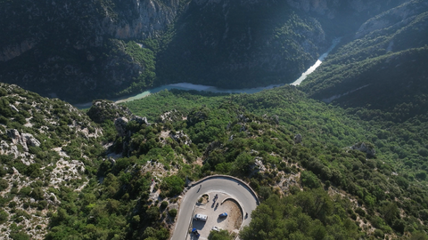
For motorcyclists who like to ride in the Alps, this pass is a paradise. The ascent from Cervierères (northern ramp) is spectacular. It is very twisty and varied, well wooded in the lower part and with magnificent views of spectacular rock formations in the upper part.
The southern ramp is less demanding and the landscape is very rocky. At the top of the pass, there are various restaurants and souvenir shops. A must on every ‘Hautes-Alpes’ motorcycle tour.
Videos
Suggested videos (Passtracks close by)
| Country | Frankreich |
| Region | Hautes-Alpes |
| Coordinates | 44.82037000, 6.73536420 |
| Elevation | 2360 m |
| Max. slope | |
| Toll road | no |
| Road surface | Asphalt |
| Cul-de-sac | no |
| Length | |
| Travel time | Normal |
| Route | Briançon Château-Queyras |
 broken clouds, 10.4°C