


Col de Larche | 1991 METER | Les Gleizolles Vinadio
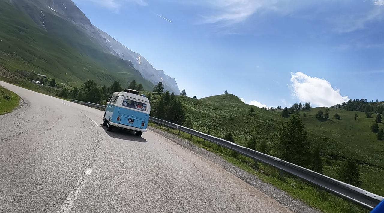
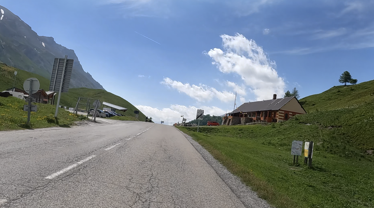
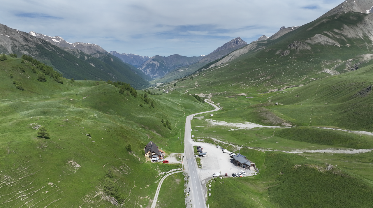
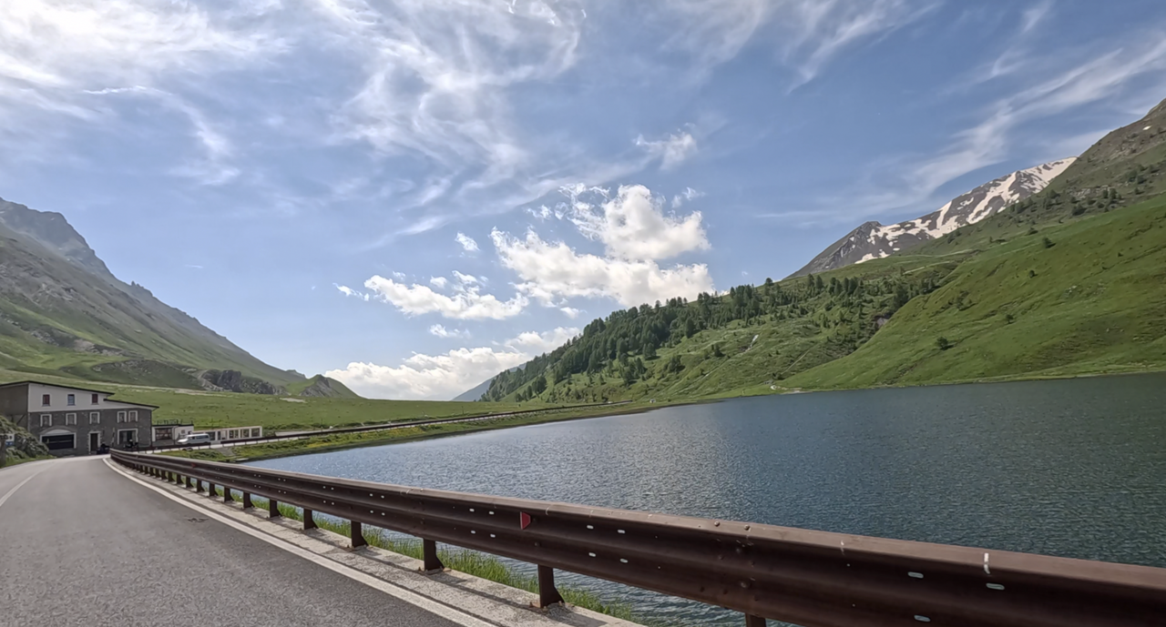
The Col de Larche is a 1991-metre-high, but relatively flat road crossing between France and Italy. It leads from the Vallée de l'Ubaye to the Valle Stura di Demonte. It lies between the Alpine peaks of Tête de Moise in the northeast and Tête de l'Enchastraye in the south and is considered the border between the Cottian Alps in the north and the Maritime Alps in the south. The Col de Larche has a second name, which sometimes leads to confusion: Colle della Maddalena. This is also the name on the pass sign. However, the signposting to the pass from the French side is via the name Col de Larche.
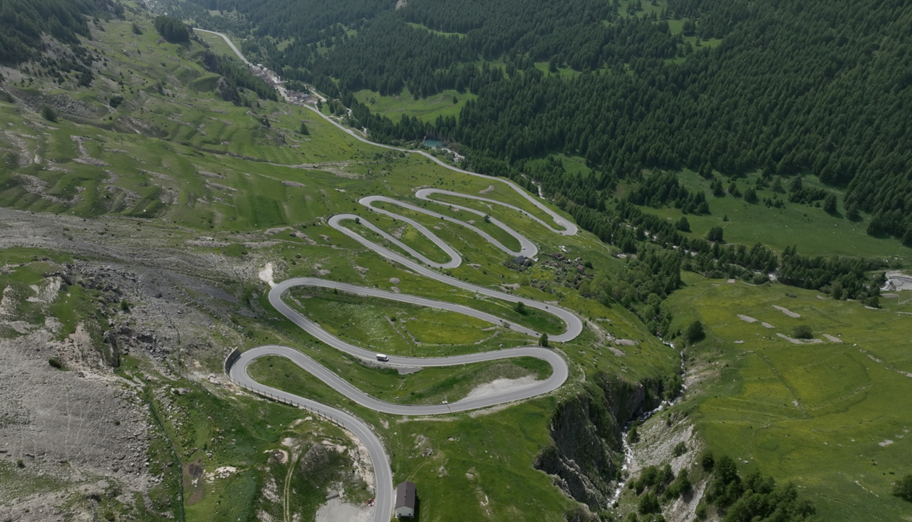
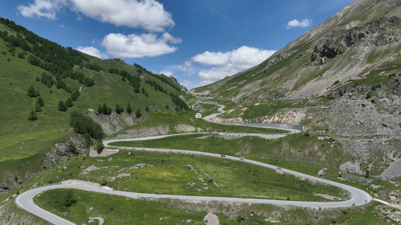
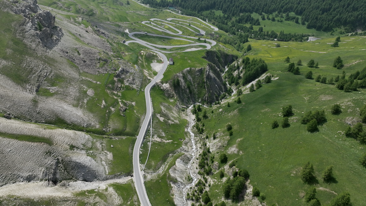
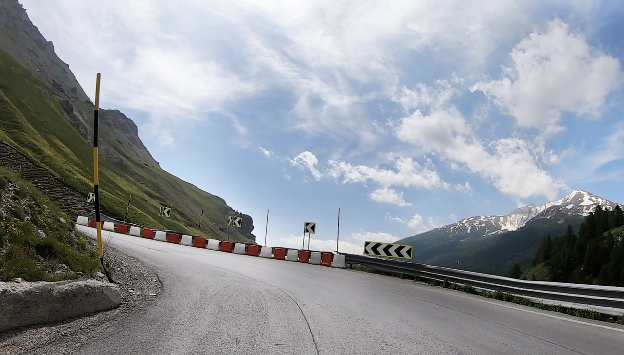
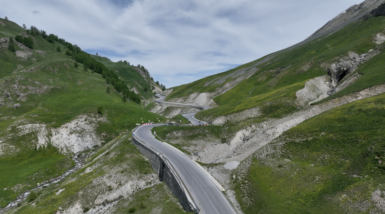
The photo shows the Italian side with the La Maddalena logo. From here, a winding stretch of road begins, featuring 14 hairpin bends and curves over a distance of around 5 kilometres.
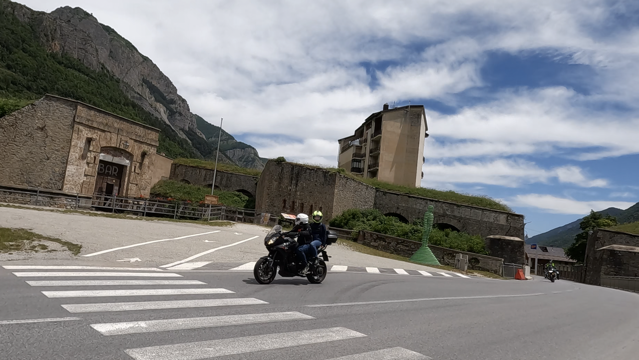
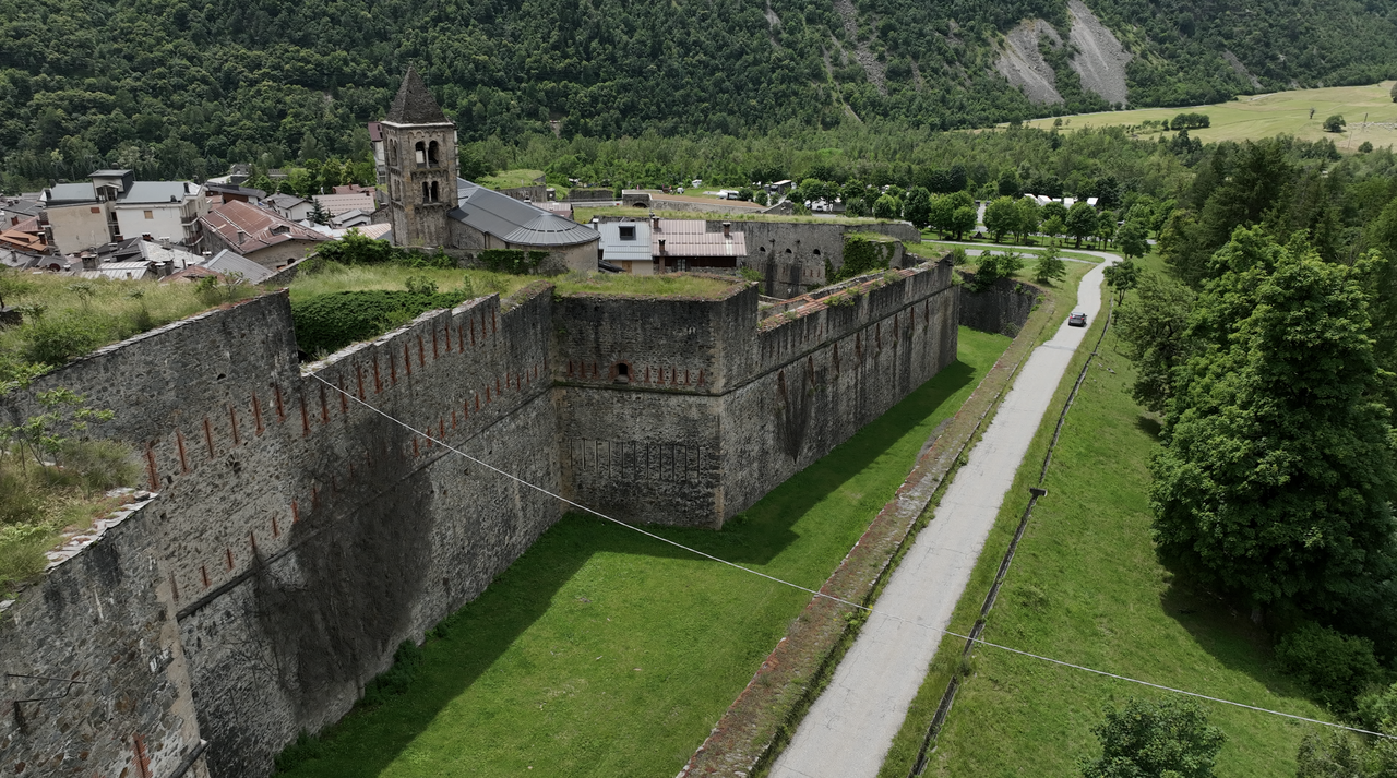
Tip, place of interest: a little further down the Stura Valley lies the Forte Vinadio, an old fortress that overlooks the entire valley.
Videos
Suggested videos (Passtracks close by)
| Country | Frankreich |
| Region | Alpes-de-Haute-Provence |
| Coordinates | 44.41500000, 6.90778000 |
| Elevation | 1991 m |
| Max. slope | |
| Toll road | no |
| Road surface | Asphalt |
| Cul-de-sac | no |
| Length | 48 Km |
| Travel time | Normal |
| Route | Les Gleizolles Vinadio |
 clear sky, 16.6°C