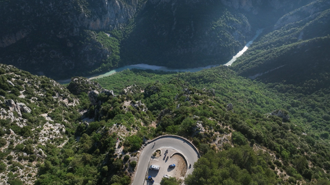
Col d'Illoire – a 180-degree bend with a view down into the 700-metre-deep Verdon Gorge.
8 hours ago
Strada dei Cannoni or the Varaita-Maira Ridge Road – off-road driving for connoisseurs.
1 month ago
The ‘Little St Bernard’, 2,188 metres: an Alpine pass set in picturesque countryside and steeped in history.
2 months ago


Region: Alpes-Maritimes
Col de la Colette | 1041 METER | Escragnolles Les Amphons
The Col de la Colette lies on the D6085, the legendary Route Napoléon, and is omitted or overlooked in most descriptions. Whilst it is not a spectacular Alpine pass – more of a hump on a straight stretch of road – it is officially signposted as a pass. Furthermore, as most of the Alpine passes on the Route Napoléon lie in the south-western foothills of the Alps, they tend to be relatively gentle.
The Col de la Colette is therefore unjustly overlooked or omitted.
Consequently, the Route Napoléon consists not of seven, but of eight Alpine passes.
More images of the pass:
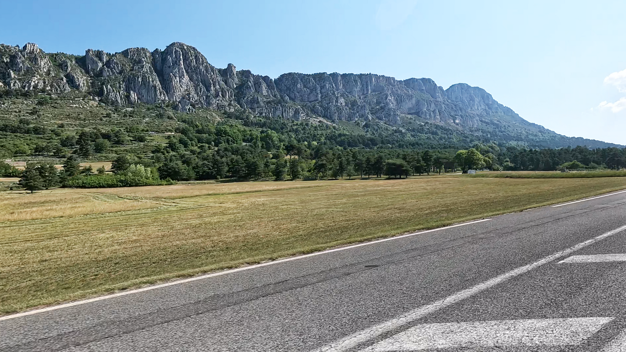
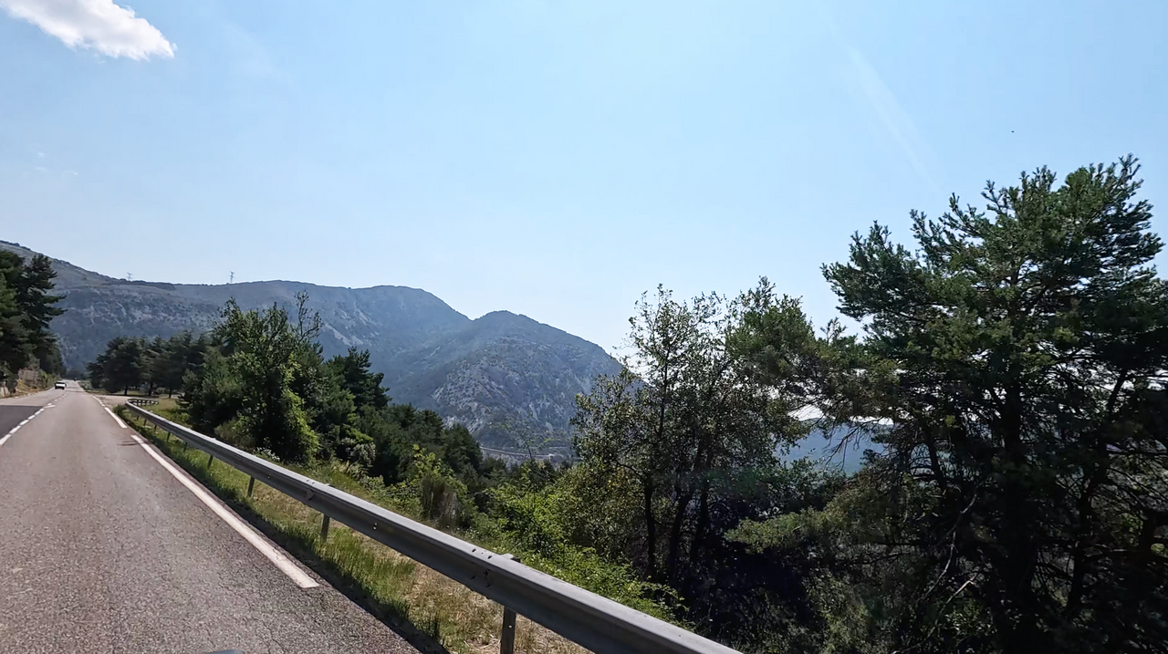
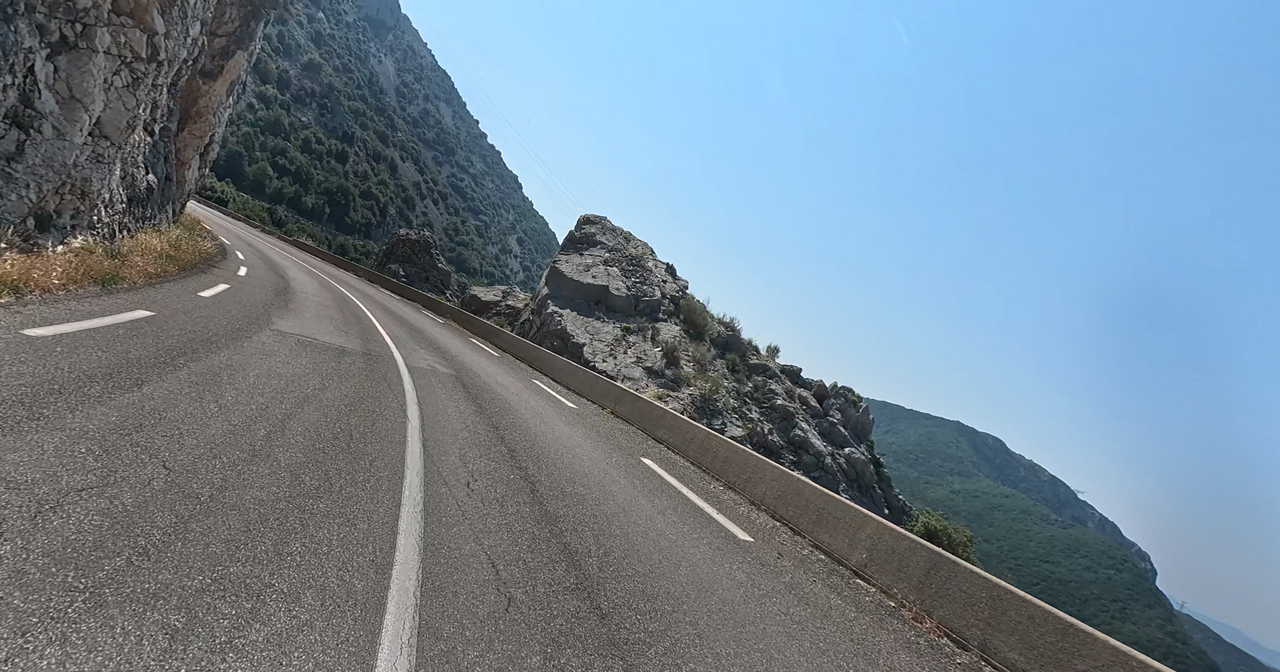
Scenes from the Route Napoleon
Scenes from the Route Napoleon
Passtracks close by:
Col de la Faye, Col de Valferrière, Col du Ferrier, Col de la Sine, Col du Castellaras
| Country | Frankreich |
| Region | Alpes-Maritimes |
| Coordinates | 43.72977750, 6.79236005 |
| Elevation | 1041 m |
| Max. slope | |
| Toll road | no |
| Road surface | Asphalt |
| Cul-de-sac | no |
| Length | 4 Km |
| Travel time | Normal |
| Route | Escragnolles Les Amphons |
 overcast clouds, 16.6°C