

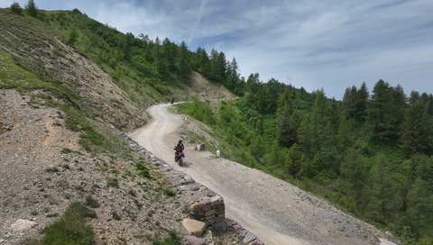





Buchauer Sattel | 861 METER | Hall St. Gallen | Steiermark
The Buchauer Sattel (861 m) is a slightly more challenging Alpine pass in Styria, but one that offers stunning scenery. It links the Enns Valley (near Admont) with the Salzat Valley area (near St. Gallen) and runs right along the border with the Gesäuse National Park.
The tarmac is in good condition, and the route is moderately winding – ideal for cruising.
During the ascent, there are repeated spectacular views of the rugged limestone cliffs of the Buchstein Group and the foothills of the Hallermauern.
The Buchauer Sattel can be easily incorporated into a loop taking in the Ennstaler Eisenstraße, the Gesäuse and the neighbouring Hengst Pass.
Viewpoint at the top of the pass: On the flat summit of the pass there is a small car park, which is an excellent starting point for hikes (e.g. up the Großer Buchstein or to the Grabneralm) or for a short break.
| Country | Österreich |
| Region | Steiermark |
| Coordinates | 47.61188346, 14.52511661 |
| Elevation | 861 m |
| Max. slope | |
| Toll road | no |
| Road surface | Asphalt |
| Cul-de-sac | no |
| Length | 20 Km |
| Travel time | Normal |
| Route | Hall St. Gallen | Steiermark |
 snow, -0.1°C
 Subscribe to Newsletter